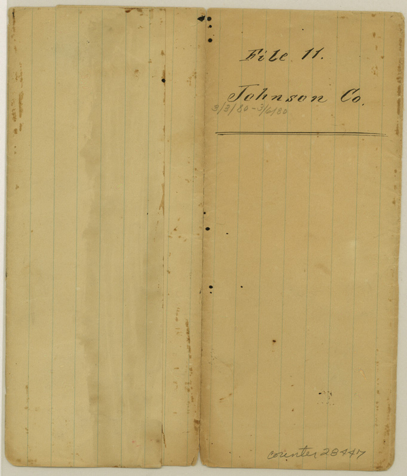
Johnson County Sketch File 11
[Sketch and explanation regarding surveys south of Johnson County School Land]
-
Map/Doc
28447
-
Collection
General Map Collection
-
Object Dates
3/3/1880 (Creation Date)
3/6/1880 (File Date)
3/3/1880 (Correspondence Date)
-
People and Organizations
J.R. Ransone (Surveyor/Engineer)
-
Counties
Johnson
-
Subjects
Surveying Sketch File
-
Height x Width
8.0 x 6.8 inches
20.3 x 17.3 cm
-
Medium
paper, manuscript
Part of: General Map Collection
Flight Mission No. BQR-22K, Frame 34, Brazoria County

Print $20.00
- Digital $50.00
Flight Mission No. BQR-22K, Frame 34, Brazoria County
1953
Size 18.7 x 22.5 inches
Map/Doc 84118
Uvalde County Working Sketch 43

Print $20.00
- Digital $50.00
Uvalde County Working Sketch 43
1978
Size 29.3 x 27.7 inches
Map/Doc 72113
Crockett County Sketch File 87

Print $12.00
- Digital $50.00
Crockett County Sketch File 87
Size 12.3 x 9.0 inches
Map/Doc 19910
Hardin County Working Sketch 8

Print $20.00
- Digital $50.00
Hardin County Working Sketch 8
1926
Size 16.5 x 21.0 inches
Map/Doc 63406
Irion County Boundary File 4a

Print $40.00
- Digital $50.00
Irion County Boundary File 4a
Size 8.6 x 38.7 inches
Map/Doc 55361
Flight Mission No. CGI-1N, Frame 168, Cameron County

Print $20.00
- Digital $50.00
Flight Mission No. CGI-1N, Frame 168, Cameron County
1955
Size 18.5 x 22.2 inches
Map/Doc 84503
Flight Mission No. BRE-1P, Frame 115, Nueces County

Print $20.00
- Digital $50.00
Flight Mission No. BRE-1P, Frame 115, Nueces County
1956
Size 18.4 x 22.2 inches
Map/Doc 86681
[Map of the Houston and Great Northern R. R. from Trinity River to Palestine]
![64550, [Map of the Houston and Great Northern R. R. from Trinity River to Palestine], General Map Collection](https://historictexasmaps.com/wmedia_w700/maps/64550.tif.jpg)
Print $40.00
- Digital $50.00
[Map of the Houston and Great Northern R. R. from Trinity River to Palestine]
1872
Size 30.0 x 88.0 inches
Map/Doc 64550
Flight Mission No. DQN-1K, Frame 129, Calhoun County

Print $20.00
- Digital $50.00
Flight Mission No. DQN-1K, Frame 129, Calhoun County
1953
Size 18.5 x 22.2 inches
Map/Doc 84192
Zavala County Rolled Sketch 21

Print $20.00
- Digital $50.00
Zavala County Rolled Sketch 21
Size 27.6 x 38.4 inches
Map/Doc 8324
Wise County Working Sketch Graphic Index

Print $20.00
- Digital $50.00
Wise County Working Sketch Graphic Index
1942
Size 44.9 x 37.9 inches
Map/Doc 76745
Controlled Mosaic by Jack Amman Photogrammetric Engineers, Inc - Sheet 20

Print $20.00
- Digital $50.00
Controlled Mosaic by Jack Amman Photogrammetric Engineers, Inc - Sheet 20
1954
Size 20.0 x 24.0 inches
Map/Doc 83466
You may also like
Val Verde County Working Sketch 94

Print $20.00
- Digital $50.00
Val Verde County Working Sketch 94
1979
Size 31.6 x 42.3 inches
Map/Doc 72229
Val Verde County Working Sketch 30

Print $20.00
- Digital $50.00
Val Verde County Working Sketch 30
1938
Size 37.9 x 28.5 inches
Map/Doc 72165
Aransas County Sketch File 19

Print $4.00
- Digital $50.00
Aransas County Sketch File 19
Size 11.7 x 8.9 inches
Map/Doc 13153
Hunt County Rolled Sketch 5

Print $20.00
- Digital $50.00
Hunt County Rolled Sketch 5
1966
Size 24.7 x 24.4 inches
Map/Doc 6273
Subdivision of Nelson W. Willard's Lands

Print $3.00
- Digital $50.00
Subdivision of Nelson W. Willard's Lands
Size 15.0 x 10.8 inches
Map/Doc 92448
Flight Mission No. DIX-7P, Frame 83, Aransas County

Print $20.00
- Digital $50.00
Flight Mission No. DIX-7P, Frame 83, Aransas County
1956
Size 18.8 x 22.5 inches
Map/Doc 83877
Austin, Texas Congress Ave. Drainage

Print $20.00
- Digital $50.00
Austin, Texas Congress Ave. Drainage
1903
Size 15.3 x 15.4 inches
Map/Doc 75798
General Highway Map, Foard County, Texas

Print $20.00
General Highway Map, Foard County, Texas
1961
Size 18.2 x 24.6 inches
Map/Doc 79468
Presidio County Working Sketch 52

Print $20.00
- Digital $50.00
Presidio County Working Sketch 52
1954
Size 46.5 x 27.6 inches
Map/Doc 71729
[Subdivision Plat of 80 acres]
![93074, [Subdivision Plat of 80 acres], Twichell Survey Records](https://historictexasmaps.com/wmedia_w700/maps/93074-1.tif.jpg)
Print $2.00
- Digital $50.00
[Subdivision Plat of 80 acres]
Size 10.6 x 6.3 inches
Map/Doc 93074
Houston County Sketch File 6a

Print $4.00
- Digital $50.00
Houston County Sketch File 6a
Size 10.2 x 8.1 inches
Map/Doc 26762
Central America Including Texas, California, and the Northern States Mexico

Print $20.00
Central America Including Texas, California, and the Northern States Mexico
1842
Size 13.8 x 16.7 inches
Map/Doc 76273