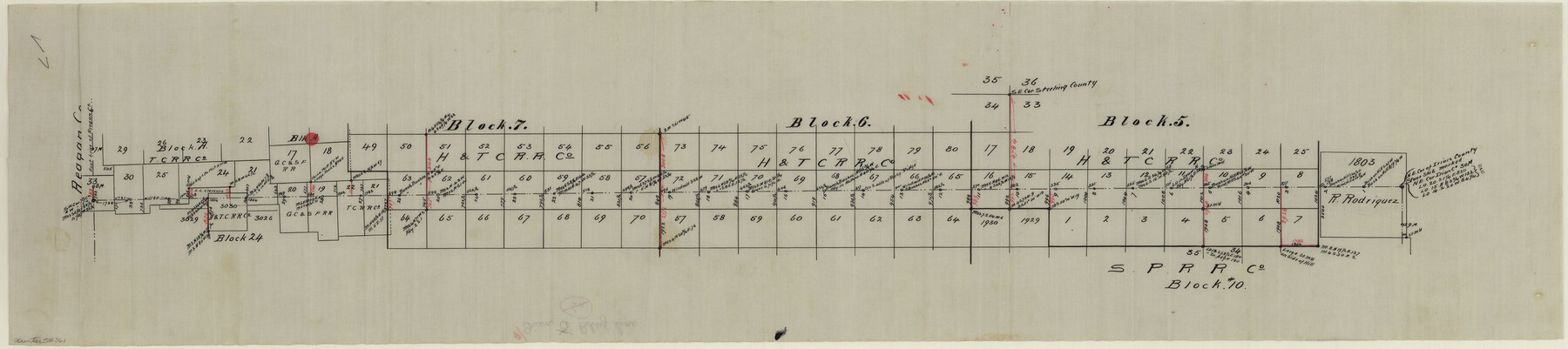
Irion County Boundary File 4a
[Plat of Irion-Tom Green Boundary line]
-
Map/Doc
55361
-
Collection
General Map Collection
-
Counties
Irion
-
Subjects
County Boundaries
-
Height x Width
8.6 x 38.7 inches
21.8 x 98.3 cm
Part of: General Map Collection
Angelina County Sketch File 19

Print $22.00
- Digital $50.00
Angelina County Sketch File 19
1876
Size 8.2 x 12.6 inches
Map/Doc 13036
Flight Mission No. DQN-2K, Frame 23, Calhoun County

Print $20.00
- Digital $50.00
Flight Mission No. DQN-2K, Frame 23, Calhoun County
1953
Size 17.4 x 19.3 inches
Map/Doc 84230
Map of Kerr County

Print $20.00
- Digital $50.00
Map of Kerr County
1869
Size 22.2 x 32.1 inches
Map/Doc 3764
Nueces County Aerial Photograph Index Sheet 1

Print $20.00
- Digital $50.00
Nueces County Aerial Photograph Index Sheet 1
1956
Size 23.4 x 19.6 inches
Map/Doc 83736
Cherokee County Sketch File 19

Print $4.00
- Digital $50.00
Cherokee County Sketch File 19
1876
Size 8.2 x 8.4 inches
Map/Doc 18161
Concho County Rolled Sketch 17

Print $20.00
- Digital $50.00
Concho County Rolled Sketch 17
1961
Size 35.2 x 26.5 inches
Map/Doc 78462
Duval County Rolled Sketch 15

Print $20.00
- Digital $50.00
Duval County Rolled Sketch 15
1940
Size 38.7 x 27.1 inches
Map/Doc 5737
Jasper County Sketch File 32

Print $20.00
- Digital $50.00
Jasper County Sketch File 32
1906
Size 28.0 x 22.3 inches
Map/Doc 11853
Cooke County Sketch File 3

Print $2.00
- Digital $50.00
Cooke County Sketch File 3
1873
Size 6.3 x 7.7 inches
Map/Doc 19222
Anderson County Working Sketch 5

Print $20.00
- Digital $50.00
Anderson County Working Sketch 5
1913
Size 15.0 x 15.3 inches
Map/Doc 67004
Orange County Sketch File 25

Print $20.00
- Digital $50.00
Orange County Sketch File 25
1914
Size 19.6 x 38.2 inches
Map/Doc 12122
Brazoria County Sketch File 9

Print $6.00
- Digital $50.00
Brazoria County Sketch File 9
Size 14.0 x 9.0 inches
Map/Doc 14936
You may also like
Hudspeth County Sketch File 54

Print $4.00
- Digital $50.00
Hudspeth County Sketch File 54
1993
Size 8.9 x 14.2 inches
Map/Doc 27079
Hardin County Sketch File 57

Print $40.00
- Digital $50.00
Hardin County Sketch File 57
Size 15.4 x 14.1 inches
Map/Doc 25228
[South part of Bailey County showing School Leagues]
![92992, [South part of Bailey County showing School Leagues], Twichell Survey Records](https://historictexasmaps.com/wmedia_w700/maps/92992-1.tif.jpg)
Print $2.00
- Digital $50.00
[South part of Bailey County showing School Leagues]
1913
Size 12.1 x 8.1 inches
Map/Doc 92992
Colorado County Working Sketch 14

Print $20.00
- Digital $50.00
Colorado County Working Sketch 14
1944
Size 30.8 x 21.6 inches
Map/Doc 68114
Real County Working Sketch 85

Print $20.00
- Digital $50.00
Real County Working Sketch 85
1988
Size 27.0 x 30.0 inches
Map/Doc 71977
[Sketch filed with corrected field notes of Surveys 27, 28, 29 and 30, Block B-19, PSL]
![91848, [Sketch filed with corrected field notes of Surveys 27, 28, 29 and 30, Block B-19, PSL], Twichell Survey Records](https://historictexasmaps.com/wmedia_w700/maps/91848-1.tif.jpg)
Print $20.00
- Digital $50.00
[Sketch filed with corrected field notes of Surveys 27, 28, 29 and 30, Block B-19, PSL]
1943
Size 19.9 x 15.1 inches
Map/Doc 91848

Navigation Maps of Gulf Intracoastal Waterway, Port Arthur to Brownsville, Texas

Print $4.00
- Digital $50.00
Navigation Maps of Gulf Intracoastal Waterway, Port Arthur to Brownsville, Texas
1951
Size 16.7 x 21.5 inches
Map/Doc 65421
Upshur County Working Sketch 10a

Print $20.00
- Digital $50.00
Upshur County Working Sketch 10a
1969
Size 15.8 x 18.7 inches
Map/Doc 69567
Lamb County Working Sketch 1

Print $20.00
- Digital $50.00
Lamb County Working Sketch 1
1917
Size 40.2 x 43.4 inches
Map/Doc 70274
Texas, Oregon and California [Cover and accompaniment]
![93873, Texas, Oregon and California [Cover and accompaniment], Holcomb Digital Map Collection](https://historictexasmaps.com/wmedia_w700/pdf_converted_jpg/qi_pdf_thumbnail_38543.jpg)
Print $108.00
- Digital $50.00
Texas, Oregon and California [Cover and accompaniment]
1846
Size 5.4 x 3.4 inches
Map/Doc 93873
Matagorda County Sketch File 45

Print $206.00
- Digital $50.00
Matagorda County Sketch File 45
1967
Size 14.2 x 8.6 inches
Map/Doc 30876