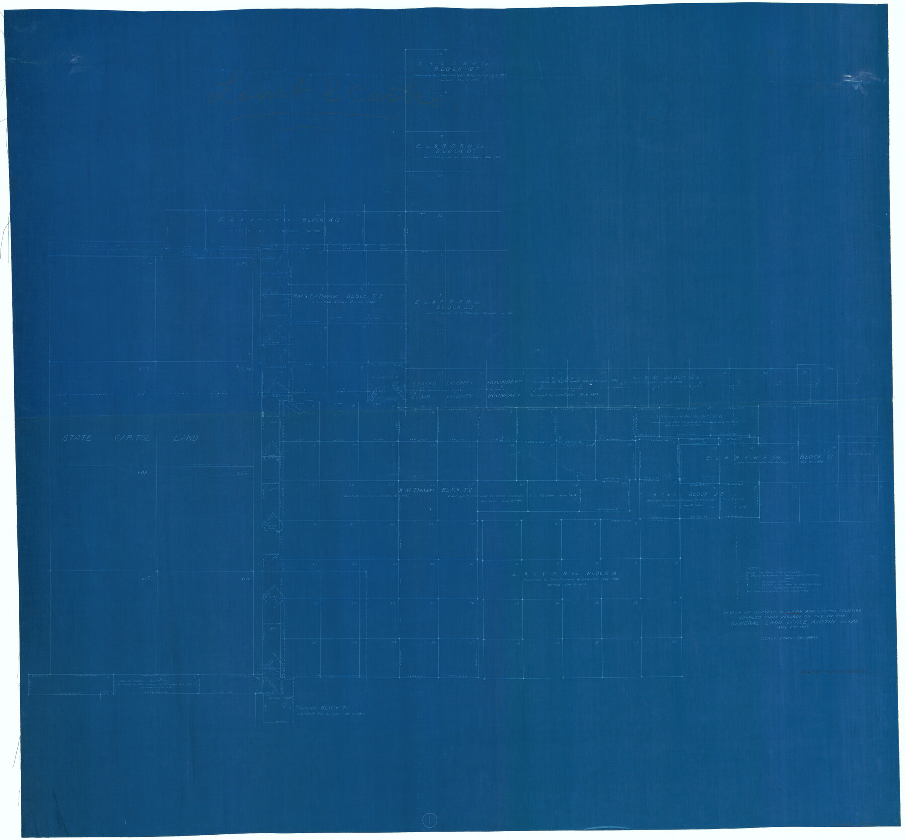
Lamb County Working Sketch 1
-
Map/Doc
70274
-
Collection
General Map Collection
-
Object Dates
5/2/1917 (Creation Date)
-
Counties
Lamb Castro
-
Subjects
Surveying Working Sketch
-
Height x Width
40.2 x 43.4 inches
102.1 x 110.2 cm
-
Scale
1" = 1000 varas
Part of: General Map Collection
Ward County Rolled Sketch PMY

Print $40.00
- Digital $50.00
Ward County Rolled Sketch PMY
1935
Size 14.4 x 74.5 inches
Map/Doc 10104
Bell County Sketch File 12

Print $4.00
- Digital $50.00
Bell County Sketch File 12
1852
Size 8.1 x 12.5 inches
Map/Doc 14385
Sketch Richland Creek, Robertson Co.

Print $2.00
- Digital $50.00
Sketch Richland Creek, Robertson Co.
Size 10.4 x 7.9 inches
Map/Doc 266
Aransas County Rolled Sketch 2

Print $40.00
- Digital $50.00
Aransas County Rolled Sketch 2
1950
Size 27.9 x 51.4 inches
Map/Doc 73613
Reeves County Working Sketch 47

Print $20.00
- Digital $50.00
Reeves County Working Sketch 47
1974
Size 45.8 x 24.6 inches
Map/Doc 63490
FT. W. & R. G. Ry. Right of Way Map, Whiteland to Lightner, Concho County, Texas

Print $40.00
- Digital $50.00
FT. W. & R. G. Ry. Right of Way Map, Whiteland to Lightner, Concho County, Texas
1918
Size 39.6 x 121.3 inches
Map/Doc 61412
Collingsworth County

Print $20.00
- Digital $50.00
Collingsworth County
1899
Size 42.7 x 39.7 inches
Map/Doc 4915
Pecos County Rolled Sketch 174

Print $20.00
- Digital $50.00
Pecos County Rolled Sketch 174
Size 23.3 x 25.0 inches
Map/Doc 7294
Flight Mission No. BRA-16M, Frame 112, Jefferson County

Print $20.00
- Digital $50.00
Flight Mission No. BRA-16M, Frame 112, Jefferson County
1953
Size 18.6 x 22.2 inches
Map/Doc 85722
Map of Burnet County

Print $20.00
- Digital $50.00
Map of Burnet County
1862
Size 27.1 x 22.5 inches
Map/Doc 3353
Travis County Working Sketch 38

Print $20.00
- Digital $50.00
Travis County Working Sketch 38
1974
Size 17.5 x 34.8 inches
Map/Doc 69422
Waller County Boundary File 1

Print $8.00
- Digital $50.00
Waller County Boundary File 1
Size 11.4 x 8.9 inches
Map/Doc 59663
You may also like
San Jacinto County Sketch File 21

Print $2.00
San Jacinto County Sketch File 21
1873
Size 10.4 x 8.4 inches
Map/Doc 35802
Travis County Working Sketch 24

Print $20.00
- Digital $50.00
Travis County Working Sketch 24
1948
Size 25.6 x 23.1 inches
Map/Doc 69408
Crockett County Sketch File 15

Print $24.00
- Digital $50.00
Crockett County Sketch File 15
1880
Size 9.1 x 8.0 inches
Map/Doc 19666
Counties of Martin, Dawson, Borden, Howard, Texas, Soash Lands, Big Spring Ranch

Print $20.00
- Digital $50.00
Counties of Martin, Dawson, Borden, Howard, Texas, Soash Lands, Big Spring Ranch
Size 34.7 x 36.9 inches
Map/Doc 93006
Culberson County Working Sketch 81

Print $40.00
- Digital $50.00
Culberson County Working Sketch 81
1980
Size 61.5 x 43.5 inches
Map/Doc 68535
Angelina County Sketch File 15

Print $8.00
- Digital $50.00
Angelina County Sketch File 15
1848
Size 12.5 x 7.5 inches
Map/Doc 12960
Gaines County Sketch File 9

Print $20.00
- Digital $50.00
Gaines County Sketch File 9
Size 34.1 x 17.1 inches
Map/Doc 11524
Signal Hill Texas

Print $20.00
- Digital $50.00
Signal Hill Texas
Size 17.5 x 17.7 inches
Map/Doc 92112
San Patricio County Sketch File 36

Print $26.00
- Digital $50.00
San Patricio County Sketch File 36
1940
Size 11.3 x 8.7 inches
Map/Doc 36129
Outer Continental Shelf Leasing Maps (Louisiana Offshore Operations)

Print $20.00
- Digital $50.00
Outer Continental Shelf Leasing Maps (Louisiana Offshore Operations)
1955
Size 17.2 x 9.4 inches
Map/Doc 76081
Burleson County Working Sketch 13

Print $40.00
- Digital $50.00
Burleson County Working Sketch 13
1980
Size 49.2 x 34.6 inches
Map/Doc 67732
The Land Offices. No. 7, Milam, December 22, 1836

Print $20.00
The Land Offices. No. 7, Milam, December 22, 1836
2020
Size 23.9 x 21.7 inches
Map/Doc 96420