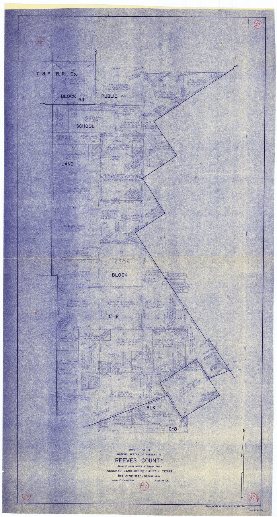
Reeves County Working Sketch 47
- 
                          Map/Doc63490
- 
                            CollectionGeneral Map Collection
- 
                            Object Dates6/26/1974 (Creation Date)
- 
                            CountiesReeves
- 
                            SubjectsSurveying Working Sketch
- 
                            Height x Width45.8 x 24.6 inches116.3 x 62.5 cm
- 
                            Scale1" = 500 varas
Part of: General Map Collection
            Borden County Boundary File 1


                                            Print $60.00                    
                                             -                         Digital $50.00                                    
                Borden County Boundary File 1
Size 13.7 x 8.7 inches
                                Map/Doc 50605
            
            Railroad Track Map, H&TCRRCo., Falls County, Texas


                                            Print $4.00                    
                                             -                         Digital $50.00                                    
                Railroad Track Map, H&TCRRCo., Falls County, Texas
1918
Size 11.8 x 18.5 inches
                                Map/Doc 62837
            
            Leon County Working Sketch 5


                                            Print $20.00                    
                                             -                         Digital $50.00                                    
                Leon County Working Sketch 5
1905
Size 40.5 x 20.6 inches
                                Map/Doc 70404
            
            Hansford County Boundary File 4


                                            Print $26.00                    
                                             -                         Digital $50.00                                    
                Hansford County Boundary File 4
Size 14.1 x 8.7 inches
                                Map/Doc 54279
            
            Sketches Accompanying Report of Coast Survey for 1851


                                                                    Digital $50.00                                    
                Sketches Accompanying Report of Coast Survey for 1851
Map/Doc 2475
            
            Starr County Rolled Sketch 40


                                            Print $20.00                    
                                             -                         Digital $50.00                                    
                Starr County Rolled Sketch 40
1961
Size 21.3 x 22.6 inches
                                Map/Doc 7834
            
            Real County Working Sketch 76


                                            Print $6.00                    
                                             -                         Digital $50.00                                    
                Real County Working Sketch 76
1979
Size 30.6 x 21.1 inches
                                Map/Doc 71968
            
            Donley County Sketch File 3


                                            Print $6.00                    
                                             -                         Digital $50.00                                    
                Donley County Sketch File 3
Size 10.8 x 11.9 inches
                                Map/Doc 21217
            
            A Plat of 23 Miles of the Colorado River
            
                                    ![65651, [Sketch for Mineral Application 1742], General Map Collection](https://historictexasmaps.com/wmedia_w700/maps/65651.tif.jpg) 


    ![65651, [Sketch for Mineral Application 1742], General Map Collection](https://historictexasmaps.com/wmedia_w700/maps/65651.tif.jpg) 
                                
            
                                            Print $40.00                    
                                             -                         Digital $50.00                                    
                A Plat of 23 Miles of the Colorado River
1918
Size 38.3 x 56.7 inches
                                Map/Doc 65651
            
            Gregg County Working Sketch 13


                                            Print $20.00                    
                                             -                         Digital $50.00                                    
                Gregg County Working Sketch 13
1940
Size 30.3 x 24.2 inches
                                Map/Doc 63280
            
            [Surveys on the Neches River]
            
                                    ![220, [Surveys on the Neches River], General Map Collection](https://historictexasmaps.com/wmedia_w700/maps/220.tif.jpg) 


    ![220, [Surveys on the Neches River], General Map Collection](https://historictexasmaps.com/wmedia_w700/maps/220.tif.jpg) 
                                
            
                                            Print $2.00                    
                                             -                         Digital $50.00                                    
                [Surveys on the Neches River]
1845
Size 6.0 x 3.8 inches
                                Map/Doc 220
            
            Tarrant County


                                            Print $40.00                    
                                             -                         Digital $50.00                                    
                Tarrant County
1942
Size 48.3 x 38.0 inches
                                Map/Doc 95649
            You may also like
            Harris County Rolled Sketch 33


                                            Print $20.00                    
                                             -                         Digital $50.00                                    
                Harris County Rolled Sketch 33
1912
Size 26.0 x 34.5 inches
                                Map/Doc 6097
            
            Runnels County Rolled Sketch 50


                                            Print $20.00                    
                                             -                         Digital $50.00                                    
                Runnels County Rolled Sketch 50
Size 31.3 x 26.7 inches
                                Map/Doc 7535
            
            Flight Mission No. DQN-5K, Frame 55, Calhoun County


                                            Print $20.00                    
                                             -                         Digital $50.00                                    
                Flight Mission No. DQN-5K, Frame 55, Calhoun County
1953
Size 18.7 x 22.3 inches
                                Map/Doc 84398
            
            Nueces County Sketch File 61


                                            Print $4.00                    
                                             -                         Digital $50.00                                    
                Nueces County Sketch File 61
1930
Size 10.5 x 8.6 inches
                                Map/Doc 32969
            
            Denton County Rolled Sketch 6


                                            Print $20.00                    
                                             -                         Digital $50.00                                    
                Denton County Rolled Sketch 6
1983
Size 25.4 x 37.2 inches
                                Map/Doc 5702
            
            Schleicher County Sketch File 46


                                            Print $4.00                    
                                             -                         Digital $50.00                                    
                Schleicher County Sketch File 46
1958
Size 3.7 x 8.8 inches
                                Map/Doc 36554
            
            Brazoria County NRC Article 33.136 Sketch 20


                                            Print $36.00                    
                                             -                         Digital $50.00                                    
                Brazoria County NRC Article 33.136 Sketch 20
2020
Map/Doc 96878
            
            [Geological Map of Texas]
            
                                    ![62962, [Geological Map of Texas], General Map Collection](https://historictexasmaps.com/wmedia_w700/maps/62962.tif.jpg) 


    ![62962, [Geological Map of Texas], General Map Collection](https://historictexasmaps.com/wmedia_w700/maps/62962.tif.jpg) 
                                
            
                                            Print $20.00                    
                                             -                         Digital $50.00                                    
                [Geological Map of Texas]
Size 17.6 x 18.1 inches
                                Map/Doc 62962
            
            Erath County Working Sketch 7


                                            Print $20.00                    
                                             -                         Digital $50.00                                    
                Erath County Working Sketch 7
1921
Size 15.8 x 16.1 inches
                                Map/Doc 69088
            
            Brazoria County Rolled Sketch 28


                                            Print $40.00                    
                                             -                         Digital $50.00                                    
                Brazoria County Rolled Sketch 28
Size 35.7 x 56.8 inches
                                Map/Doc 8458
            
            [Sketch from Burnet Co. to Baylor Co. tying center of counties to county site]
            
                                    ![1699, [Sketch from Burnet Co. to Baylor Co. tying center of counties to county site], General Map Collection](https://historictexasmaps.com/wmedia_w700/maps/1699.tif.jpg) 


    ![1699, [Sketch from Burnet Co. to Baylor Co. tying center of counties to county site], General Map Collection](https://historictexasmaps.com/wmedia_w700/maps/1699.tif.jpg) 
                                
            
                                            Print $40.00                    
                                             -                         Digital $50.00                                    
                [Sketch from Burnet Co. to Baylor Co. tying center of counties to county site]
1900
Size 132.6 x 31.9 inches
                                Map/Doc 1699
            
            Greer County Sketch File 8


                                            Print $20.00                    
                                             -                         Digital $50.00                                    
                Greer County Sketch File 8
Size 16.7 x 23.6 inches
                                Map/Doc 11584
            