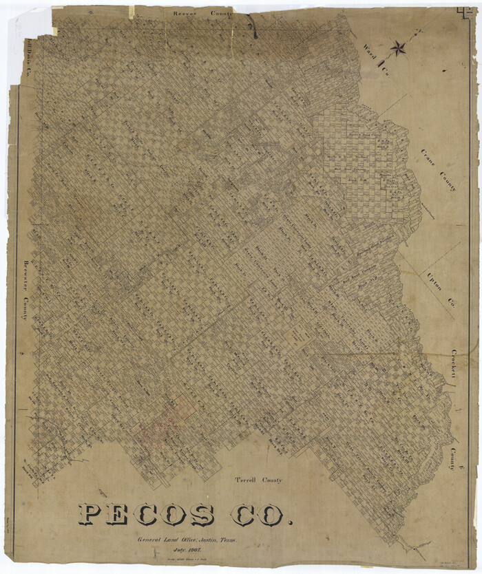
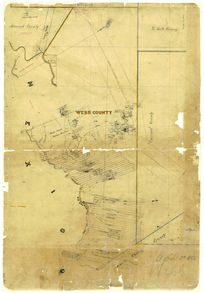
[Tom Green County]
-
Map/Doc
16901
-
Collection
General Map Collection
-
Object Dates
1888 (Creation Date)
-
People and Organizations
Texas General Land Office (Publisher)
-
Counties
Mitchell Nolan Coke Sterling
-
Subjects
County
-
Height x Width
33.2 x 34.4 inches
84.3 x 87.4 cm
-
Comments
Conservation funded in 2007 by Friends of the Texas General Land Office.
-
Features
Coffee Creek
Fannie Creek
Ross Creek
Casconado Creek
Crystal Creek
Hollow Wall Creek
Red Fork of Colorado River
De Witt Creek
Edwards Creek
Gypsum Creek
Kate's Creek
Stampede Creek
Oak Creek
Cherry Creek
Alargan Branch of the Colorado River
Fort Chadbourne
Bellnap Creek
Kellner's Creek
Tadd's Creek
Cascade Creek
Gascourd's Creek
West Fork of Oak Creek
Crane's Creek
Hart's Creek
Morgan Branch of Colorado River
Mesquit [sic] Creek
Little Creek
Colorado River
Carmine Creek
Willie's Creek
Minnie's Creek
Honey Creek
North Prong Cherry Creek
Middle Prong of Cherry Creek
South Prong Cherry Creek
Corvin Creek
Ettas Creek
Mount Fainun
Henry's Creek
MEP&P
Kuechler's Creek
Girauds Creek
Mount Laurence
Mallard's Creek
Hallners Creek
Hoffman's Creek
McKinney's Creek
Part of: General Map Collection
Flight Mission No. CRC-3R, Frame 40, Chambers County


Print $20.00
- Digital $50.00
Flight Mission No. CRC-3R, Frame 40, Chambers County
1956
Size 18.6 x 22.3 inches
Map/Doc 84813
Smith County Working Sketch 15
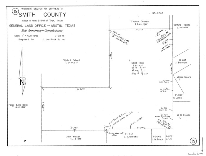

Print $20.00
- Digital $50.00
Smith County Working Sketch 15
1981
Size 13.4 x 17.6 inches
Map/Doc 63900
Galveston County NRC Article 33.136 Location Key Sheet


Print $20.00
- Digital $50.00
Galveston County NRC Article 33.136 Location Key Sheet
1994
Size 27.0 x 22.0 inches
Map/Doc 77020
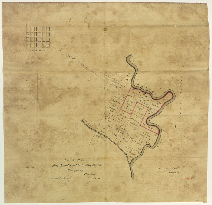
Copy of Map from General Land Office

Print $20.00
- Digital $50.00
Copy of Map from General Land Office
1880
Size 16.6 x 17.2 inches
Map/Doc 93361
Dimmit County Working Sketch 39


Print $20.00
- Digital $50.00
Dimmit County Working Sketch 39
1967
Size 25.5 x 30.0 inches
Map/Doc 68700
Sutton County Rolled Sketch 60
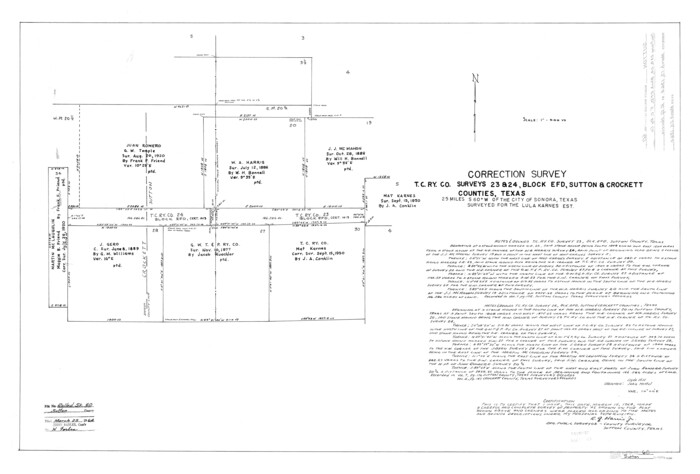

Print $20.00
- Digital $50.00
Sutton County Rolled Sketch 60
1964
Size 23.5 x 34.7 inches
Map/Doc 7897
Culberson County Working Sketch 68
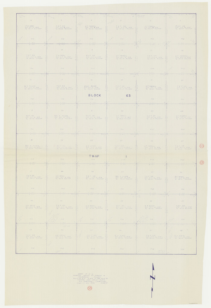

Print $40.00
- Digital $50.00
Culberson County Working Sketch 68
1975
Size 48.9 x 33.5 inches
Map/Doc 68522
Maps of Gulf Intracoastal Waterway, Texas - Sabine River to the Rio Grande and connecting waterways including ship channels


Print $20.00
- Digital $50.00
Maps of Gulf Intracoastal Waterway, Texas - Sabine River to the Rio Grande and connecting waterways including ship channels
1966
Size 14.6 x 22.2 inches
Map/Doc 61958
Pecos County Working Sketch 41
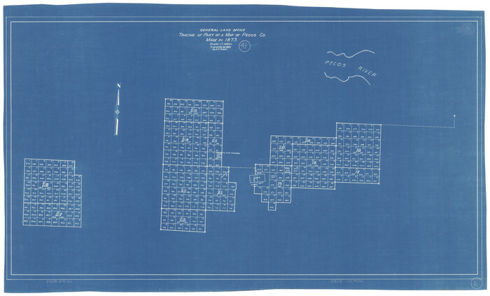

Print $20.00
- Digital $50.00
Pecos County Working Sketch 41
1942
Size 19.0 x 31.7 inches
Map/Doc 71513
Trinity County
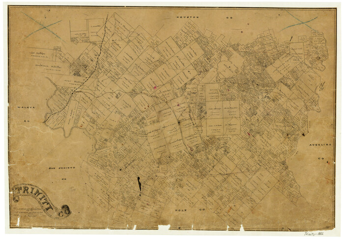

Print $20.00
- Digital $50.00
Trinity County
1882
Size 17.1 x 24.6 inches
Map/Doc 4097
You may also like
No. 3 Chart of Channel connecting Corpus Christi Bay with Aransas Bay, Texas


Print $20.00
- Digital $50.00
No. 3 Chart of Channel connecting Corpus Christi Bay with Aransas Bay, Texas
1878
Size 18.2 x 28.0 inches
Map/Doc 72772
Pecos County Working Sketch 1
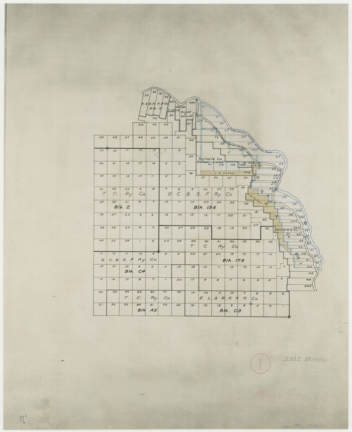

Print $20.00
- Digital $50.00
Pecos County Working Sketch 1
Size 16.0 x 13.0 inches
Map/Doc 71471
Sabine Pass and Lake
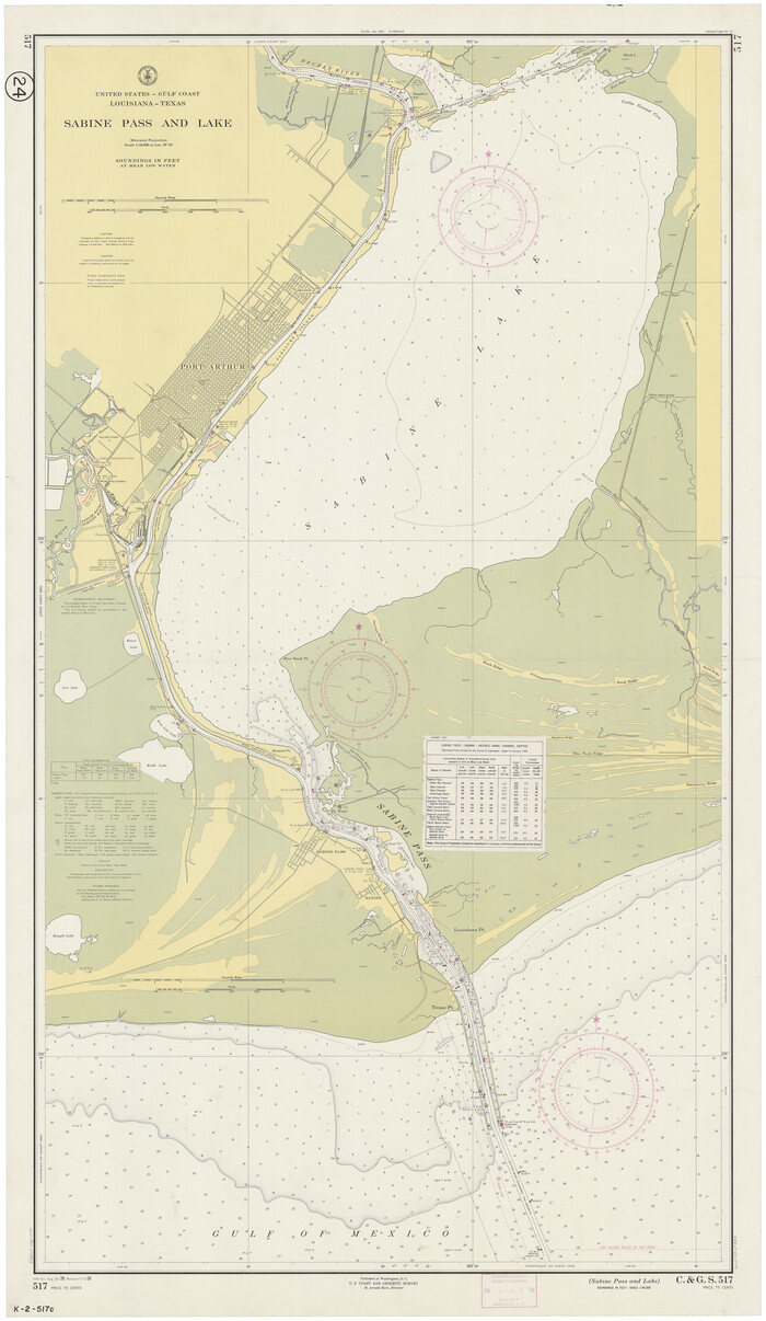

Print $20.00
- Digital $50.00
Sabine Pass and Lake
1958
Size 47.1 x 27.5 inches
Map/Doc 69823
Frio County Sketch File 4a
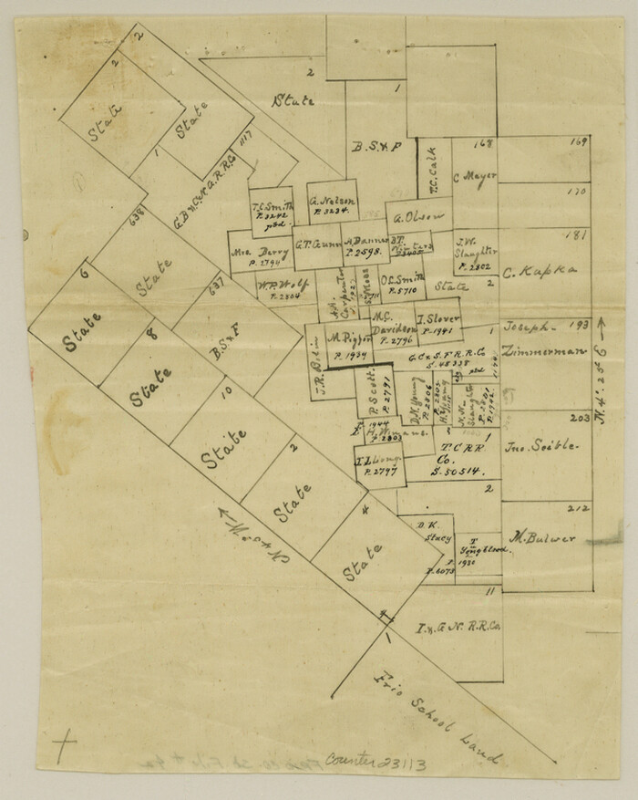

Print $6.00
- Digital $50.00
Frio County Sketch File 4a
1883
Size 8.3 x 6.7 inches
Map/Doc 23113
Liberty County Sketch File 58

Print $2.00
- Digital $50.00
Liberty County Sketch File 58
Size 8.9 x 7.7 inches
Map/Doc 30060
Intracoastal Waterway, Houma, LA to Corpus Christi, TX


Print $5.00
- Digital $50.00
Intracoastal Waterway, Houma, LA to Corpus Christi, TX
Size 30.0 x 22.0 inches
Map/Doc 61911
Gonzales County Rolled Sketch 1


Print $20.00
- Digital $50.00
Gonzales County Rolled Sketch 1
1917
Size 21.9 x 23.9 inches
Map/Doc 6027
Uvalde County Rolled Sketch 17
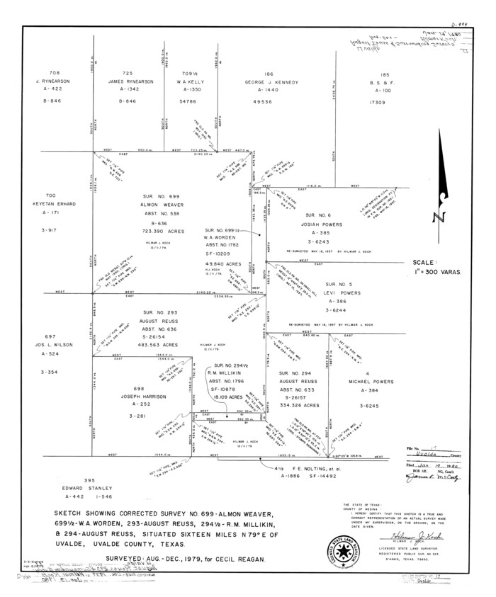

Print $20.00
- Digital $50.00
Uvalde County Rolled Sketch 17
Size 26.7 x 22.2 inches
Map/Doc 8101
[Sketch Showing Blocks O18, P Mc, B10 and B11]
![93105, [Sketch Showing Blocks O18, P Mc, B10 and B11], Twichell Survey Records](https://historictexasmaps.com/wmedia_w700/maps/93105-1.tif.jpg)
![93105, [Sketch Showing Blocks O18, P Mc, B10 and B11], Twichell Survey Records](https://historictexasmaps.com/wmedia_w700/maps/93105-1.tif.jpg)
Print $3.00
- Digital $50.00
[Sketch Showing Blocks O18, P Mc, B10 and B11]
Size 11.1 x 11.1 inches
Map/Doc 93105
Montgomery County Rolled Sketch 45
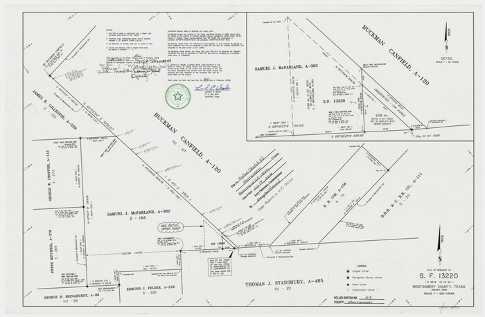

Print $20.00
- Digital $50.00
Montgomery County Rolled Sketch 45
2006
Size 20.5 x 31.3 inches
Map/Doc 85242
Fannin County Boundary File 1


Print $14.00
- Digital $50.00
Fannin County Boundary File 1
Size 13.2 x 8.6 inches
Map/Doc 53272
Upton County Rolled Sketch 57
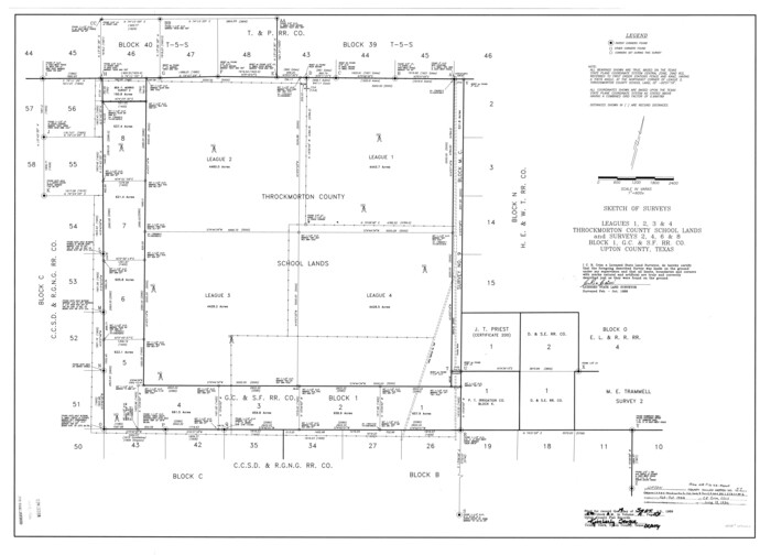

Print $20.00
- Digital $50.00
Upton County Rolled Sketch 57
Size 30.1 x 41.8 inches
Map/Doc 8090
![16901, [Tom Green County], General Map Collection](https://historictexasmaps.com/wmedia_w1800h1800/maps/16901.tif.jpg)
