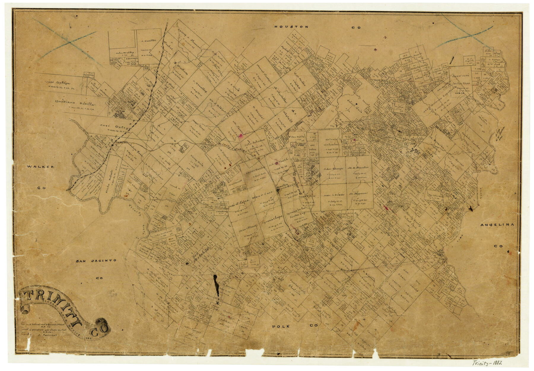
Trinity County
-
Map/Doc
4097
-
Collection
General Map Collection
-
Object Dates
1882 (Creation Date)
-
People and Organizations
V. Schmidt (Draftsman)
-
Counties
Trinity
-
Subjects
County
-
Height x Width
17.1 x 24.6 inches
43.4 x 62.5 cm
-
Features
Caney Creek
Bull Creek
T&S
White Oak Creek
Piney Creek
Kickapoo Creek
Trinity River
Sumpter
Neches River
Groveton
Forbes
I&GN
Trinity
Elm Creek
Cochino Creek
Mossy Creek
Big Piney Creek
Little White Oak Creek
White Rock Creek
Part of: General Map Collection
Cass County Rolled Sketch ESR2

Print $20.00
- Digital $50.00
Cass County Rolled Sketch ESR2
1936
Size 43.8 x 40.1 inches
Map/Doc 8587
Nueces County Rolled Sketch 104B

Print $20.00
- Digital $50.00
Nueces County Rolled Sketch 104B
1975
Size 24.2 x 29.0 inches
Map/Doc 61778
J. De Cordova's Map of the State of Texas Compiled from the records of the General Land Office of the State

Print $20.00
- Digital $50.00
J. De Cordova's Map of the State of Texas Compiled from the records of the General Land Office of the State
1849
Size 33.9 x 32.1 inches
Map/Doc 7826
Polk County Working Sketch 11

Print $20.00
- Digital $50.00
Polk County Working Sketch 11
1940
Size 29.3 x 28.6 inches
Map/Doc 71626
Donley County Working Sketch Graphic Index

Print $20.00
- Digital $50.00
Donley County Working Sketch Graphic Index
1944
Size 44.6 x 39.0 inches
Map/Doc 76526
Foard County Working Sketch Graphic Index

Print $20.00
- Digital $50.00
Foard County Working Sketch Graphic Index
1945
Size 37.8 x 41.3 inches
Map/Doc 76544
Hutchinson County Working Sketch 17

Print $20.00
- Digital $50.00
Hutchinson County Working Sketch 17
Size 45.8 x 44.2 inches
Map/Doc 66376
Stonewall County Sketch File 31

Print $77.00
- Digital $50.00
Stonewall County Sketch File 31
2001
Size 11.3 x 8.9 inches
Map/Doc 37308
Duval County Rolled Sketch 37

Print $20.00
- Digital $50.00
Duval County Rolled Sketch 37
Size 19.8 x 16.5 inches
Map/Doc 5754
Matagorda County Working Sketch 32

Print $20.00
- Digital $50.00
Matagorda County Working Sketch 32
1993
Size 28.4 x 33.5 inches
Map/Doc 70890
Flight Mission No. BQR-13K, Frame 22, Brazoria County

Print $20.00
- Digital $50.00
Flight Mission No. BQR-13K, Frame 22, Brazoria County
1952
Size 18.9 x 22.4 inches
Map/Doc 84070
Harris County Rolled Sketch 88

Print $20.00
- Digital $50.00
Harris County Rolled Sketch 88
1937
Size 34.9 x 22.7 inches
Map/Doc 6126
You may also like
Flight Mission No. DIX-8P, Frame 68, Aransas County

Print $20.00
- Digital $50.00
Flight Mission No. DIX-8P, Frame 68, Aransas County
1956
Size 18.7 x 22.5 inches
Map/Doc 83899
[T. C. & S. F. Block K11, Capitol Leagues 367, 373, 374, and Blocks D and B]
![90536, [T. C. & S. F. Block K11, Capitol Leagues 367, 373, 374, and Blocks D and B], Twichell Survey Records](https://historictexasmaps.com/wmedia_w700/maps/90536-1.tif.jpg)
Print $3.00
- Digital $50.00
[T. C. & S. F. Block K11, Capitol Leagues 367, 373, 374, and Blocks D and B]
1903
Size 9.5 x 13.7 inches
Map/Doc 90536
Denton County Working Sketch 5

Print $20.00
- Digital $50.00
Denton County Working Sketch 5
1956
Size 23.9 x 19.4 inches
Map/Doc 68610
Parker County Sketch File 33

Print $4.00
- Digital $50.00
Parker County Sketch File 33
Size 10.6 x 7.9 inches
Map/Doc 33576
Nueces County Rolled Sketch 92

Print $222.00
Nueces County Rolled Sketch 92
1983
Size 24.6 x 43.7 inches
Map/Doc 7028
San Jacinto County Working Sketch 27

Print $20.00
- Digital $50.00
San Jacinto County Working Sketch 27
1944
Size 30.5 x 23.3 inches
Map/Doc 63740
Map of Navarro County

Print $20.00
- Digital $50.00
Map of Navarro County
1872
Size 19.4 x 25.5 inches
Map/Doc 3910
Liberty County Working Sketch Graphic Index - west part

Print $20.00
- Digital $50.00
Liberty County Working Sketch Graphic Index - west part
1977
Size 45.7 x 34.5 inches
Map/Doc 76619
Kuechler's Corners, Texas & Pacific Ry. Co. 80 Mile Reserve

Print $703.00
- Digital $50.00
Kuechler's Corners, Texas & Pacific Ry. Co. 80 Mile Reserve
1934
Size 11.0 x 8.5 inches
Map/Doc 2248
Sabine Pass and Lake

Print $20.00
- Digital $50.00
Sabine Pass and Lake
1975
Size 46.9 x 27.8 inches
Map/Doc 69827
Wichita County Sketch File 12

Print $6.00
- Digital $50.00
Wichita County Sketch File 12
1881
Size 10.2 x 8.3 inches
Map/Doc 40074
General Chart of the Coast No. XVI - Gulf Coast from Galveston to the Rio Grande

Print $20.00
- Digital $50.00
General Chart of the Coast No. XVI - Gulf Coast from Galveston to the Rio Grande
1883
Size 26.7 x 18.2 inches
Map/Doc 72735