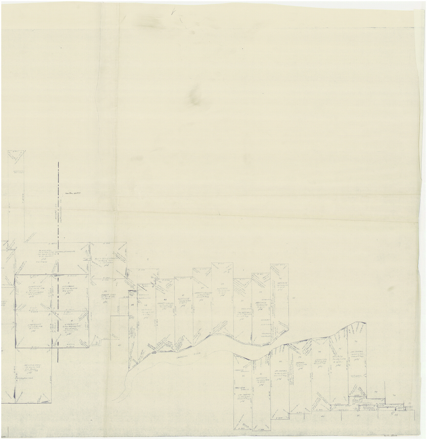
Hutchinson County Working Sketch 17
-
Map/Doc
66376
-
Collection
General Map Collection
-
Counties
Hutchinson Moore
-
Subjects
Surveying Working Sketch
-
Height x Width
45.8 x 44.2 inches
116.3 x 112.3 cm
-
Comments
Segment 2; for segment 1 see counter No. 66375.
Related maps
Hutchinson County Working Sketch 17

Print $40.00
- Digital $50.00
Hutchinson County Working Sketch 17
1955
Size 47.2 x 128.6 inches
Map/Doc 66375
Part of: General Map Collection
Right-of-Way and Track Map, Texas State Railroad operated by the T. and N. O. R.R. Co.

Print $40.00
- Digital $50.00
Right-of-Way and Track Map, Texas State Railroad operated by the T. and N. O. R.R. Co.
1918
Size 24.5 x 56.1 inches
Map/Doc 64178
Travis County Sketch File 3

Print $4.00
- Digital $50.00
Travis County Sketch File 3
Size 12.9 x 7.9 inches
Map/Doc 38273
Brewster County Working Sketch 94

Print $40.00
- Digital $50.00
Brewster County Working Sketch 94
1975
Size 58.7 x 39.5 inches
Map/Doc 67694
Orange County Working Sketch Graphic Index - sheet B

Print $20.00
- Digital $50.00
Orange County Working Sketch Graphic Index - sheet B
1921
Size 25.2 x 30.2 inches
Map/Doc 88744
Bell County Sketch File 21

Print $4.00
- Digital $50.00
Bell County Sketch File 21
1871
Size 8.0 x 9.7 inches
Map/Doc 14410
Frio County Working Sketch 24

Print $20.00
- Digital $50.00
Frio County Working Sketch 24
1992
Size 47.0 x 35.2 inches
Map/Doc 69298
Nueces County Rolled Sketch 49

Print $20.00
- Digital $50.00
Nueces County Rolled Sketch 49
1979
Size 21.1 x 20.7 inches
Map/Doc 6888
Navarro County Working Sketch 1b

Print $20.00
- Digital $50.00
Navarro County Working Sketch 1b
Size 32.5 x 44.6 inches
Map/Doc 71230
Flight Mission No. BRA-8M, Frame 115, Jefferson County

Print $20.00
- Digital $50.00
Flight Mission No. BRA-8M, Frame 115, Jefferson County
1953
Size 18.6 x 22.2 inches
Map/Doc 85611
Boundary Between the United States & Mexico Agreed Upon by the Joint Commission under the Treaty of Guadalupe Hidalgo

Print $20.00
- Digital $50.00
Boundary Between the United States & Mexico Agreed Upon by the Joint Commission under the Treaty of Guadalupe Hidalgo
1853
Size 24.2 x 18.4 inches
Map/Doc 65397

Dawson County Sketch File 13

Print $2.00
- Digital $50.00
Dawson County Sketch File 13
Size 11.2 x 8.6 inches
Map/Doc 20546
You may also like
Coryell County, Texas

Print $20.00
- Digital $50.00
Coryell County, Texas
1879
Size 23.5 x 29.1 inches
Map/Doc 704
Coryell County Milam District

Print $20.00
- Digital $50.00
Coryell County Milam District
1883
Size 25.7 x 24.6 inches
Map/Doc 3446
Jeff Davis County Working Sketch 1

Print $20.00
- Digital $50.00
Jeff Davis County Working Sketch 1
Size 26.6 x 19.6 inches
Map/Doc 66496
Map of Zapata County

Print $40.00
- Digital $50.00
Map of Zapata County
1901
Size 55.1 x 47.7 inches
Map/Doc 16937
Morris County Rolled Sketch 2A

Print $3.00
- Digital $50.00
Morris County Rolled Sketch 2A
Size 12.1 x 10.5 inches
Map/Doc 10233
[Surveys in the Jefferson District on the Sabine River]
![325, [Surveys in the Jefferson District on the Sabine River], General Map Collection](https://historictexasmaps.com/wmedia_w700/maps/325.tif.jpg)
Print $2.00
- Digital $50.00
[Surveys in the Jefferson District on the Sabine River]
1841
Size 8.7 x 7.8 inches
Map/Doc 325
Double Lakes No. 1 T-Ranch Lynn County, Texas

Print $20.00
- Digital $50.00
Double Lakes No. 1 T-Ranch Lynn County, Texas
Size 36.8 x 31.8 inches
Map/Doc 93216
General Highway Map, Lamb County, Texas

Print $20.00
General Highway Map, Lamb County, Texas
1940
Size 24.7 x 18.3 inches
Map/Doc 79168
Map of Brownsville Navigation District survey in Cameron County showing area for mineral development

Print $20.00
- Digital $50.00
Map of Brownsville Navigation District survey in Cameron County showing area for mineral development
1938
Size 22.3 x 36.5 inches
Map/Doc 2731
Val Verde County Working Sketch 10

Print $20.00
- Digital $50.00
Val Verde County Working Sketch 10
1920
Size 31.7 x 21.2 inches
Map/Doc 72145
Flight Mission No. CUG-2P, Frame 87, Kleberg County

Print $20.00
- Digital $50.00
Flight Mission No. CUG-2P, Frame 87, Kleberg County
1956
Size 18.4 x 22.2 inches
Map/Doc 86219
Loving County Working Sketch 7

Print $20.00
- Digital $50.00
Loving County Working Sketch 7
1949
Size 23.4 x 26.3 inches
Map/Doc 70639