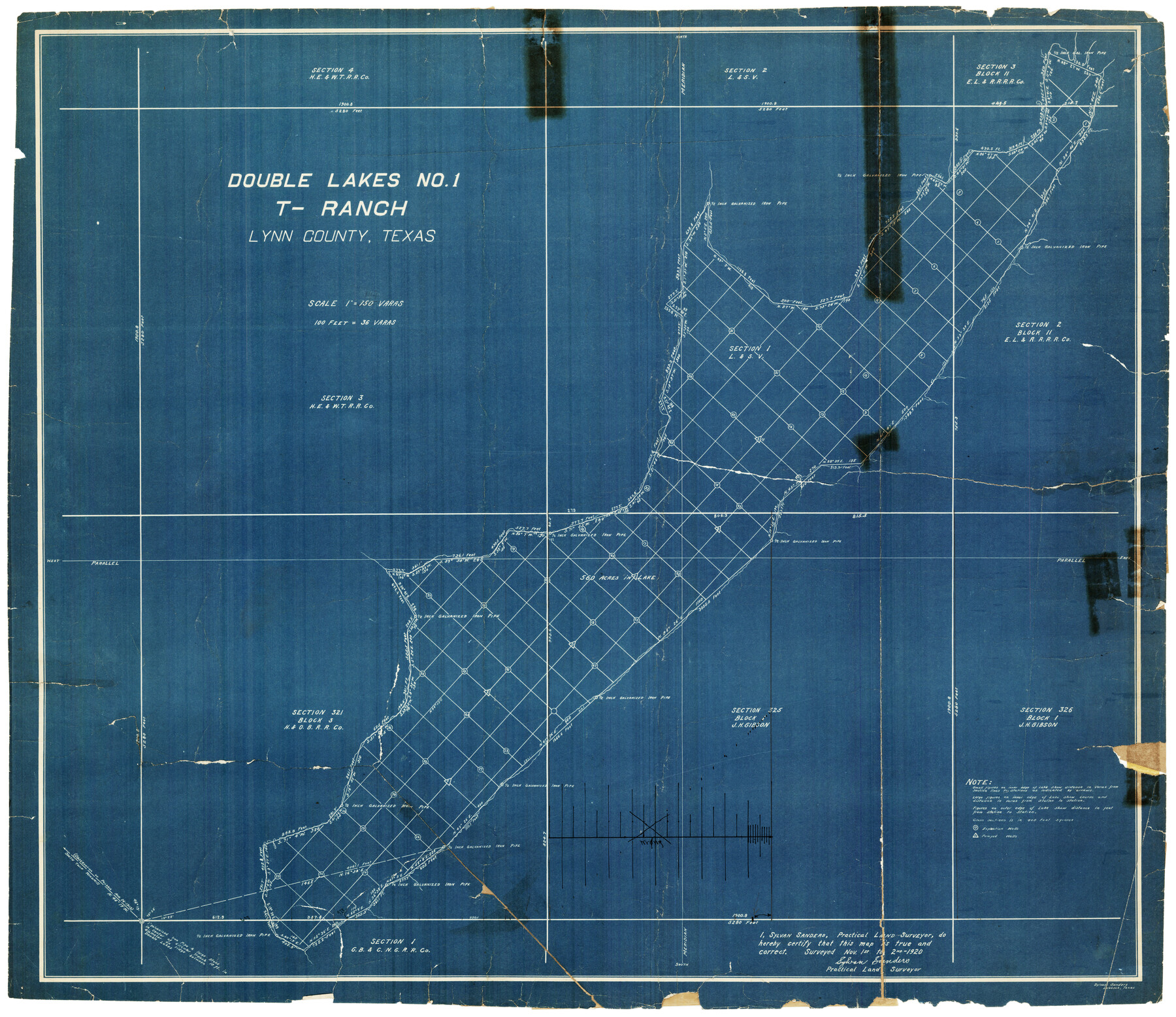
Double Lakes No. 1 T-Ranch Lynn County, Texas
-
Map/Doc
93216
-
Collection
Twichell Survey Records
-
Counties
Lynn
-
Height x Width
36.8 x 31.8 inches
93.5 x 80.8 cm
Part of: Twichell Survey Records
Temple Morrow Irrigated Farm South Half of Section 1, Block D6

Print $3.00
- Digital $50.00
Temple Morrow Irrigated Farm South Half of Section 1, Block D6
Size 9.5 x 12.8 inches
Map/Doc 92311
[Leagues 391, 391 1/2 and part of Block K7]
![90534, [Leagues 391, 391 1/2 and part of Block K7], Twichell Survey Records](https://historictexasmaps.com/wmedia_w700/maps/90534-1.tif.jpg)
Print $2.00
- Digital $50.00
[Leagues 391, 391 1/2 and part of Block K7]
1902
Size 4.7 x 6.3 inches
Map/Doc 90534
[Sutton County School Land and vicinity]
![92477, [Sutton County School Land and vicinity], Twichell Survey Records](https://historictexasmaps.com/wmedia_w700/maps/92477-1.tif.jpg)
Print $20.00
- Digital $50.00
[Sutton County School Land and vicinity]
Size 21.0 x 34.3 inches
Map/Doc 92477
[Townships 4N and 5N]
![90633, [Townships 4N and 5N], Twichell Survey Records](https://historictexasmaps.com/wmedia_w700/90633.tif.jpg)
Print $20.00
- Digital $50.00
[Townships 4N and 5N]
Size 23.6 x 27.1 inches
Map/Doc 90633
[Sketch showing I. & G. N. Block 8]
![91715, [Sketch showing I. & G. N. Block 8], Twichell Survey Records](https://historictexasmaps.com/wmedia_w700/maps/91715-1.tif.jpg)
Print $2.00
- Digital $50.00
[Sketch showing I. & G. N. Block 8]
1919
Size 7.7 x 10.3 inches
Map/Doc 91715
[T. C. & S. F. Block K11, Capitol Leagues 367, 373, 374, and Blocks D and B]
![90536, [T. C. & S. F. Block K11, Capitol Leagues 367, 373, 374, and Blocks D and B], Twichell Survey Records](https://historictexasmaps.com/wmedia_w700/maps/90536-1.tif.jpg)
Print $3.00
- Digital $50.00
[T. C. & S. F. Block K11, Capitol Leagues 367, 373, 374, and Blocks D and B]
1903
Size 9.5 x 13.7 inches
Map/Doc 90536
[Warren Additions 3 and 4 and vicinity]
![92464, [Warren Additions 3 and 4 and vicinity], Twichell Survey Records](https://historictexasmaps.com/wmedia_w700/maps/92464-1.tif.jpg)
Print $20.00
- Digital $50.00
[Warren Additions 3 and 4 and vicinity]
Size 23.9 x 19.5 inches
Map/Doc 92464
Sketch from Ward and Crane Counties

Print $20.00
- Digital $50.00
Sketch from Ward and Crane Counties
Size 42.9 x 23.6 inches
Map/Doc 92557
[Sketch of surveys in the vicinity of sections 171 and 172 along Pedernales]
![91882, [Sketch of surveys in the vicinity of sections 171 and 172 along Pedernales], Twichell Survey Records](https://historictexasmaps.com/wmedia_w700/maps/91882-1.tif.jpg)
Print $20.00
- Digital $50.00
[Sketch of surveys in the vicinity of sections 171 and 172 along Pedernales]
Size 17.2 x 12.9 inches
Map/Doc 91882
[3KA and vicinity]
![90847, [3KA and vicinity], Twichell Survey Records](https://historictexasmaps.com/wmedia_w700/maps/90847-2.tif.jpg)
Print $20.00
- Digital $50.00
[3KA and vicinity]
Size 31.3 x 15.4 inches
Map/Doc 90847
[K. N. Hapgood's Pasture and surrounding surveys]
![90432, [K. N. Hapgood's Pasture and surrounding surveys], Twichell Survey Records](https://historictexasmaps.com/wmedia_w700/maps/90432-1.tif.jpg)
Print $2.00
- Digital $50.00
[K. N. Hapgood's Pasture and surrounding surveys]
1923
Size 8.7 x 11.5 inches
Map/Doc 90432
[Map of Panhandle Counties]
![91170, [Map of Panhandle Counties], Twichell Survey Records](https://historictexasmaps.com/wmedia_w700/maps/91170-1.tif.jpg)
Print $20.00
- Digital $50.00
[Map of Panhandle Counties]
Size 27.4 x 22.9 inches
Map/Doc 91170
You may also like
Presidio County Sketch File 95

Print $22.00
- Digital $50.00
Presidio County Sketch File 95
1958
Size 12.7 x 16.4 inches
Map/Doc 34773
Flight Mission No. BRE-1P, Frame 32, Nueces County

Print $20.00
- Digital $50.00
Flight Mission No. BRE-1P, Frame 32, Nueces County
1956
Size 18.4 x 22.6 inches
Map/Doc 86628
Brown County Sketch File 3

Print $2.00
- Digital $50.00
Brown County Sketch File 3
Size 8.3 x 5.9 inches
Map/Doc 16584
Medina County Sketch File 13

Print $20.00
- Digital $50.00
Medina County Sketch File 13
Size 18.1 x 22.7 inches
Map/Doc 12069
Newton County Working Sketch 44

Print $20.00
- Digital $50.00
Newton County Working Sketch 44
1992
Size 19.2 x 24.6 inches
Map/Doc 71290
Glasscock County Sketch File 8

Print $6.00
- Digital $50.00
Glasscock County Sketch File 8
Size 9.5 x 14.9 inches
Map/Doc 24168
Carden L. Green Farm Part Sections 13 & 22, Block JS

Print $20.00
- Digital $50.00
Carden L. Green Farm Part Sections 13 & 22, Block JS
Size 14.0 x 24.1 inches
Map/Doc 92324
Lipscomb County Working Sketch 7

Print $20.00
- Digital $50.00
Lipscomb County Working Sketch 7
1982
Size 42.7 x 21.4 inches
Map/Doc 70583
[Cotton Belt, St. Louis Southwestern Railway of Texas, Alignment through Smith County]
![64378, [Cotton Belt, St. Louis Southwestern Railway of Texas, Alignment through Smith County], General Map Collection](https://historictexasmaps.com/wmedia_w700/maps/64378.tif.jpg)
Print $20.00
- Digital $50.00
[Cotton Belt, St. Louis Southwestern Railway of Texas, Alignment through Smith County]
1903
Size 22.3 x 30.1 inches
Map/Doc 64378
Atascosa County Rolled Sketch R

Print $20.00
- Digital $50.00
Atascosa County Rolled Sketch R
Size 19.6 x 19.6 inches
Map/Doc 5103
Southern Part of Laguna Madre

Print $20.00
- Digital $50.00
Southern Part of Laguna Madre
1973
Size 44.2 x 35.2 inches
Map/Doc 73543
