[T. C. & S. F. Block K11, Capitol Leagues 367, 373, 374, and Blocks D and B]
59-35
-
Map/Doc
90536
-
Collection
Twichell Survey Records
-
Object Dates
3/10/1903 (Creation Date)
-
People and Organizations
G.R. Jowell (Surveyor/Engineer)
-
Counties
Deaf Smith
-
Height x Width
9.5 x 13.7 inches
24.1 x 34.8 cm
Part of: Twichell Survey Records
[Sketch showing Blocks B5, B6 and G.&M. Block 5 north of Capitol Land]
![92989, [Sketch showing Blocks B5, B6 and G.&M. Block 5 north of Capitol Land], Twichell Survey Records](https://historictexasmaps.com/wmedia_w700/maps/92989-1.tif.jpg)
![92989, [Sketch showing Blocks B5, B6 and G.&M. Block 5 north of Capitol Land], Twichell Survey Records](https://historictexasmaps.com/wmedia_w700/maps/92989-1.tif.jpg)
Print $20.00
- Digital $50.00
[Sketch showing Blocks B5, B6 and G.&M. Block 5 north of Capitol Land]
Size 38.4 x 20.9 inches
Map/Doc 92989
League 206, Ochiltree County School Land, Bailey and Lamb Counties, Texas


Print $20.00
- Digital $50.00
League 206, Ochiltree County School Land, Bailey and Lamb Counties, Texas
1954
Size 36.9 x 25.0 inches
Map/Doc 92537
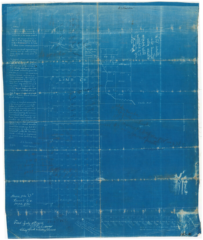
Sketch File C, Lamb County

Print $20.00
- Digital $50.00
Sketch File C, Lamb County
1904
Size 21.6 x 26.0 inches
Map/Doc 91069
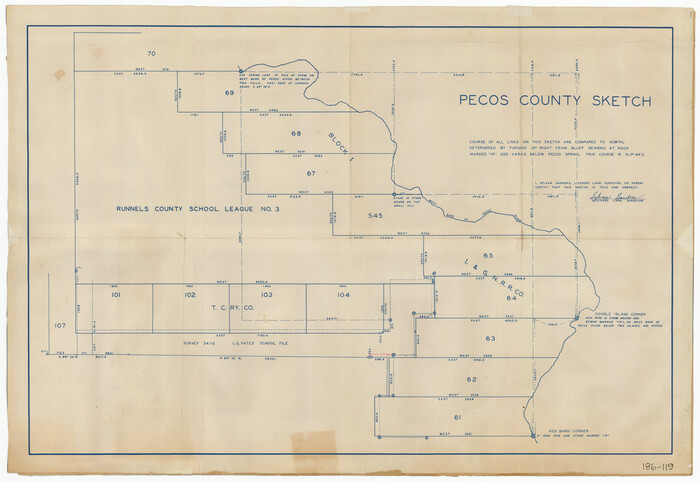
Pecos County Sketch

Print $20.00
- Digital $50.00
Pecos County Sketch
Size 34.2 x 23.5 inches
Map/Doc 91642
[North and West Line of Gray County, North Line of Wheeler County]
![89943, [North and West Line of Gray County, North Line of Wheeler County], Twichell Survey Records](https://historictexasmaps.com/wmedia_w700/maps/89943-1.tif.jpg)
![89943, [North and West Line of Gray County, North Line of Wheeler County], Twichell Survey Records](https://historictexasmaps.com/wmedia_w700/maps/89943-1.tif.jpg)
Print $40.00
- Digital $50.00
[North and West Line of Gray County, North Line of Wheeler County]
Size 43.4 x 71.6 inches
Map/Doc 89943
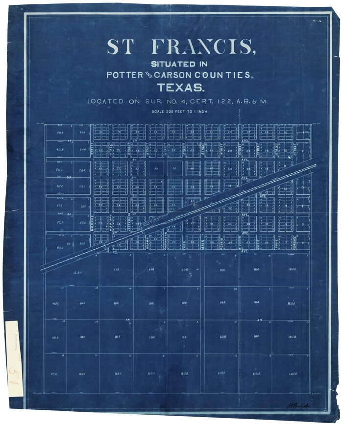
St Francis situated in Potter and Carson Counties, Texas

Print $20.00
- Digital $50.00
St Francis situated in Potter and Carson Counties, Texas
Size 22.4 x 27.7 inches
Map/Doc 93082
[I. & G. N. RR. Co. Blk. 6, Blks M8, M9 and M10]
![90267, [I. & G. N. RR. Co. Blk. 6, Blks M8, M9 and M10], Twichell Survey Records](https://historictexasmaps.com/wmedia_w700/maps/90267-1.tif.jpg)
![90267, [I. & G. N. RR. Co. Blk. 6, Blks M8, M9 and M10], Twichell Survey Records](https://historictexasmaps.com/wmedia_w700/maps/90267-1.tif.jpg)
Print $20.00
- Digital $50.00
[I. & G. N. RR. Co. Blk. 6, Blks M8, M9 and M10]
Size 34.2 x 20.3 inches
Map/Doc 90267
Eleven County Map
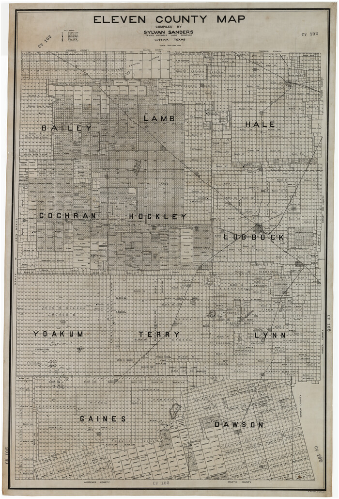

Print $40.00
- Digital $50.00
Eleven County Map
Size 39.2 x 57.5 inches
Map/Doc 89856
[Area south of University Block 16, Block O and PSL Block N]
![91951, [Area south of University Block 16, Block O and PSL Block N], Twichell Survey Records](https://historictexasmaps.com/wmedia_w700/maps/91951-1.tif.jpg)
![91951, [Area south of University Block 16, Block O and PSL Block N], Twichell Survey Records](https://historictexasmaps.com/wmedia_w700/maps/91951-1.tif.jpg)
Print $20.00
- Digital $50.00
[Area south of University Block 16, Block O and PSL Block N]
Size 21.9 x 24.0 inches
Map/Doc 91951
[Block 35, Townships 3N, 4N, and 5N]
![90640, [Block 35, Townships 3N, 4N, and 5N], Twichell Survey Records](https://historictexasmaps.com/wmedia_w700/maps/90640-1.tif.jpg)
![90640, [Block 35, Townships 3N, 4N, and 5N], Twichell Survey Records](https://historictexasmaps.com/wmedia_w700/maps/90640-1.tif.jpg)
Print $40.00
- Digital $50.00
[Block 35, Townships 3N, 4N, and 5N]
Size 15.6 x 48.1 inches
Map/Doc 90640
Replat of Baker 2nd Addition to Lamesa, Part of Southwest Quarter, Section 71, Block 35, Dawson County, Texas


Print $20.00
- Digital $50.00
Replat of Baker 2nd Addition to Lamesa, Part of Southwest Quarter, Section 71, Block 35, Dawson County, Texas
1958
Size 9.9 x 18.8 inches
Map/Doc 92633
You may also like
Nueces County Rolled Sketch 86

Print $167.00
Nueces County Rolled Sketch 86
1983
Size 18.2 x 24.7 inches
Map/Doc 6978
Hutchinson County Rolled Sketch 44-7

Print $20.00
- Digital $50.00
Hutchinson County Rolled Sketch 44-7
2002
Size 24.0 x 36.0 inches
Map/Doc 77543
General Highway Map, Andrews County, Texas


Print $20.00
General Highway Map, Andrews County, Texas
1961
Size 25.1 x 18.3 inches
Map/Doc 79347
[Map showing J. H. Gibson Block D]
![92016, [Map showing J. H. Gibson Block D], Twichell Survey Records](https://historictexasmaps.com/wmedia_w700/maps/92016-1.tif.jpg)
![92016, [Map showing J. H. Gibson Block D], Twichell Survey Records](https://historictexasmaps.com/wmedia_w700/maps/92016-1.tif.jpg)
Print $20.00
- Digital $50.00
[Map showing J. H. Gibson Block D]
Size 17.8 x 15.1 inches
Map/Doc 92016
Brazoria County Sketch File 4

Print $4.00
- Digital $50.00
Brazoria County Sketch File 4
1861
Size 7.9 x 9.5 inches
Map/Doc 14927
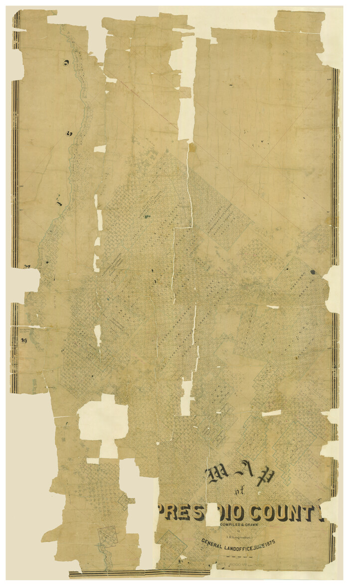
Presidio County

Print $40.00
- Digital $50.00
Presidio County
1875
Size 98.1 x 58.7 inches
Map/Doc 16792
Travis County Boundary File 31


Print $4.00
- Digital $50.00
Travis County Boundary File 31
Size 10.0 x 8.2 inches
Map/Doc 59471
Flight Mission No. BQY-15M, Frame 14, Harris County


Print $20.00
- Digital $50.00
Flight Mission No. BQY-15M, Frame 14, Harris County
1953
Size 18.6 x 22.4 inches
Map/Doc 85312
Wichita County Rolled Sketch 19


Print $20.00
- Digital $50.00
Wichita County Rolled Sketch 19
1963
Size 28.5 x 30.9 inches
Map/Doc 8255
Oldham County Working Sketch Graphic Index


Print $40.00
- Digital $50.00
Oldham County Working Sketch Graphic Index
1925
Size 42.2 x 51.7 inches
Map/Doc 76657
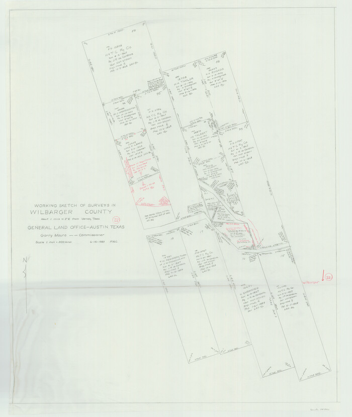
Wilbarger County Working Sketch 22

Print $20.00
- Digital $50.00
Wilbarger County Working Sketch 22
1983
Size 39.8 x 33.6 inches
Map/Doc 72560
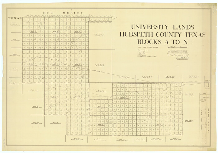
University Lands, Hudspeth County, Texas, Blocks A to N

Print $40.00
- Digital $50.00
University Lands, Hudspeth County, Texas, Blocks A to N
1935
Size 39.0 x 55.5 inches
Map/Doc 2413
![90536, [T. C. & S. F. Block K11, Capitol Leagues 367, 373, 374, and Blocks D and B], Twichell Survey Records](https://historictexasmaps.com/wmedia_w1800h1800/maps/90536-1.tif.jpg)
