[Sketch showing I. & G. N. Block 8]
191-7
-
Map/Doc
91715
-
Collection
Twichell Survey Records
-
Object Dates
4/1919 (Creation Date)
-
People and Organizations
W.D. Twichell (Surveyor/Engineer)
-
Counties
Randall
-
Height x Width
7.7 x 10.3 inches
19.6 x 26.2 cm
Part of: Twichell Survey Records
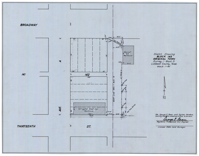
Sketch Showing Block 142, Original Town, Survey 1, Block O

Print $20.00
- Digital $50.00
Sketch Showing Block 142, Original Town, Survey 1, Block O
Size 23.0 x 18.0 inches
Map/Doc 92782
[Stone, Kyle and Kyle Block M6]
![90394, [Stone, Kyle and Kyle Block M6], Twichell Survey Records](https://historictexasmaps.com/wmedia_w700/maps/90394-1.tif.jpg)
![90394, [Stone, Kyle and Kyle Block M6], Twichell Survey Records](https://historictexasmaps.com/wmedia_w700/maps/90394-1.tif.jpg)
Print $20.00
- Digital $50.00
[Stone, Kyle and Kyle Block M6]
Size 19.7 x 22.5 inches
Map/Doc 90394
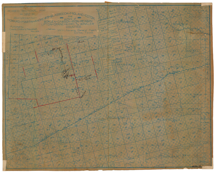
Revised Sectional Map Number 2, Showing Surveys in Howard, Martin, Andrews, Glasscock, Midland, Ector

Print $20.00
- Digital $50.00
Revised Sectional Map Number 2, Showing Surveys in Howard, Martin, Andrews, Glasscock, Midland, Ector
1908
Size 24.7 x 19.6 inches
Map/Doc 91367
[Worksheets related to the Wilson Strickland survey and vicinity]
![91381, [Worksheets related to the Wilson Strickland survey and vicinity], Twichell Survey Records](https://historictexasmaps.com/wmedia_w700/maps/91381-1.tif.jpg)
![91381, [Worksheets related to the Wilson Strickland survey and vicinity], Twichell Survey Records](https://historictexasmaps.com/wmedia_w700/maps/91381-1.tif.jpg)
Print $20.00
- Digital $50.00
[Worksheets related to the Wilson Strickland survey and vicinity]
Size 20.1 x 24.8 inches
Map/Doc 91381
[Sketch of part of G. & M. Block 5]
![93061, [Sketch of part of G. & M. Block 5], Twichell Survey Records](https://historictexasmaps.com/wmedia_w700/maps/93061-1.tif.jpg)
![93061, [Sketch of part of G. & M. Block 5], Twichell Survey Records](https://historictexasmaps.com/wmedia_w700/maps/93061-1.tif.jpg)
Print $20.00
- Digital $50.00
[Sketch of part of G. & M. Block 5]
Size 18.2 x 8.9 inches
Map/Doc 93061
[Sketch showing T.&P. "B" Blocks in Tsp. 1S, Tsp. 2S, Tsp. 3S and Tsp. 4S]
![89747, [Sketch showing T.&P. "B" Blocks in Tsp. 1S, Tsp. 2S, Tsp. 3S and Tsp. 4S], Twichell Survey Records](https://historictexasmaps.com/wmedia_w700/maps/89747-1.tif.jpg)
![89747, [Sketch showing T.&P. "B" Blocks in Tsp. 1S, Tsp. 2S, Tsp. 3S and Tsp. 4S], Twichell Survey Records](https://historictexasmaps.com/wmedia_w700/maps/89747-1.tif.jpg)
Print $40.00
- Digital $50.00
[Sketch showing T.&P. "B" Blocks in Tsp. 1S, Tsp. 2S, Tsp. 3S and Tsp. 4S]
Size 49.4 x 42.5 inches
Map/Doc 89747
[Gunter & Munson, Maddox Bros. & Anderson Blocks F and A and blocks south]
![91850, [Gunter & Munson, Maddox Bros. & Anderson Blocks F and A and blocks south], Twichell Survey Records](https://historictexasmaps.com/wmedia_w700/maps/91850-1.tif.jpg)
![91850, [Gunter & Munson, Maddox Bros. & Anderson Blocks F and A and blocks south], Twichell Survey Records](https://historictexasmaps.com/wmedia_w700/maps/91850-1.tif.jpg)
Print $20.00
- Digital $50.00
[Gunter & Munson, Maddox Bros. & Anderson Blocks F and A and blocks south]
Size 18.3 x 19.8 inches
Map/Doc 91850
[T. & P. Block 33, Township 4N]
![90558, [T. & P. Block 33, Township 4N], Twichell Survey Records](https://historictexasmaps.com/wmedia_w700/maps/90558-1.tif.jpg)
![90558, [T. & P. Block 33, Township 4N], Twichell Survey Records](https://historictexasmaps.com/wmedia_w700/maps/90558-1.tif.jpg)
Print $3.00
- Digital $50.00
[T. & P. Block 33, Township 4N]
Size 9.4 x 14.2 inches
Map/Doc 90558
[Blocks 3, 5 & Q]
![91275, [Blocks 3, 5 & Q], Twichell Survey Records](https://historictexasmaps.com/wmedia_w700/maps/91275-1.tif.jpg)
![91275, [Blocks 3, 5 & Q], Twichell Survey Records](https://historictexasmaps.com/wmedia_w700/maps/91275-1.tif.jpg)
Print $20.00
- Digital $50.00
[Blocks 3, 5 & Q]
Size 19.4 x 9.2 inches
Map/Doc 91275
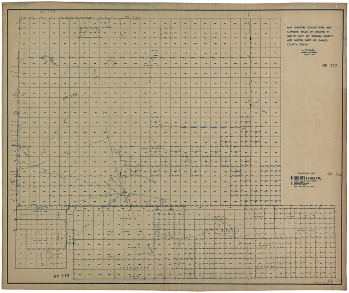
Map showing connections and corners made on ground in south part of Yoakum County and north part of Gaines County, Texas

Print $20.00
- Digital $50.00
Map showing connections and corners made on ground in south part of Yoakum County and north part of Gaines County, Texas
1938
Size 43.7 x 36.5 inches
Map/Doc 93255
[Sections 58-64, I. & G. N. Block 1]
![91546, [Sections 58-64, I. & G. N. Block 1], Twichell Survey Records](https://historictexasmaps.com/wmedia_w700/maps/91546-1.tif.jpg)
![91546, [Sections 58-64, I. & G. N. Block 1], Twichell Survey Records](https://historictexasmaps.com/wmedia_w700/maps/91546-1.tif.jpg)
Print $2.00
- Digital $50.00
[Sections 58-64, I. & G. N. Block 1]
Size 8.6 x 11.1 inches
Map/Doc 91546
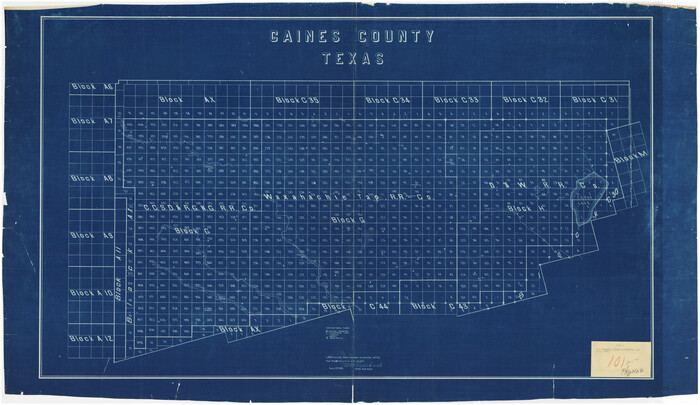
G & H Blocks, Gaines County, Texas Resurvey

Print $40.00
- Digital $50.00
G & H Blocks, Gaines County, Texas Resurvey
1915
Size 58.1 x 33.7 inches
Map/Doc 89667
You may also like
Sabine County Sketch File 3
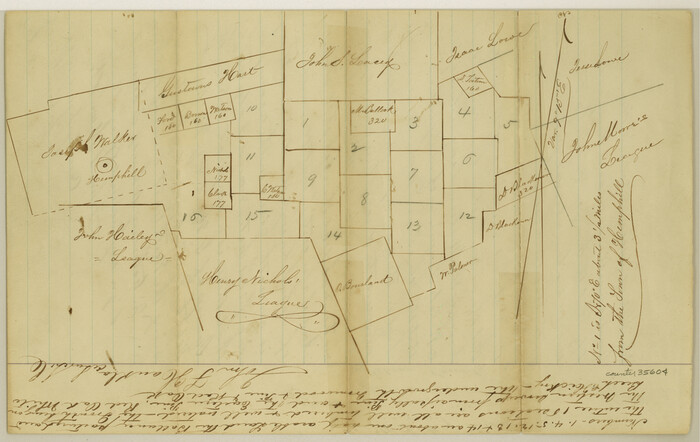

Print $2.00
Sabine County Sketch File 3
1874
Size 12.7 x 8.0 inches
Map/Doc 35604
Right-of-way & Track Map Dawson Railway Operated by the El Paso & Southwestern Company Station 810+61.6 to Station 1021+79.7


Print $40.00
- Digital $50.00
Right-of-way & Track Map Dawson Railway Operated by the El Paso & Southwestern Company Station 810+61.6 to Station 1021+79.7
1910
Size 56.6 x 24.7 inches
Map/Doc 89662
Right of Way and Track Map, the Missouri, Kansas and Texas Ry. of Texas operated by the Missouri, Kansas and Texas Ry. of Texas, San Antonio Division
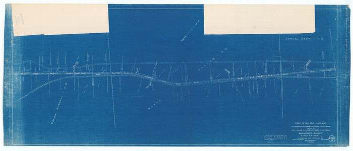

Print $40.00
- Digital $50.00
Right of Way and Track Map, the Missouri, Kansas and Texas Ry. of Texas operated by the Missouri, Kansas and Texas Ry. of Texas, San Antonio Division
1918
Size 25.4 x 59.2 inches
Map/Doc 64580
Flight Mission No. DCL-7C, Frame 22, Kenedy County


Print $20.00
- Digital $50.00
Flight Mission No. DCL-7C, Frame 22, Kenedy County
1943
Size 15.4 x 15.2 inches
Map/Doc 86014
Edwards County Working Sketch 59
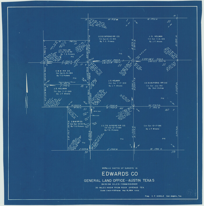

Print $20.00
- Digital $50.00
Edwards County Working Sketch 59
1954
Size 22.7 x 22.4 inches
Map/Doc 68935
Navarro County Working Sketch 18
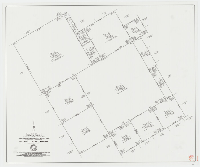

Print $20.00
- Digital $50.00
Navarro County Working Sketch 18
2009
Size 31.9 x 38.0 inches
Map/Doc 89044
Map of Blanco County, Texas
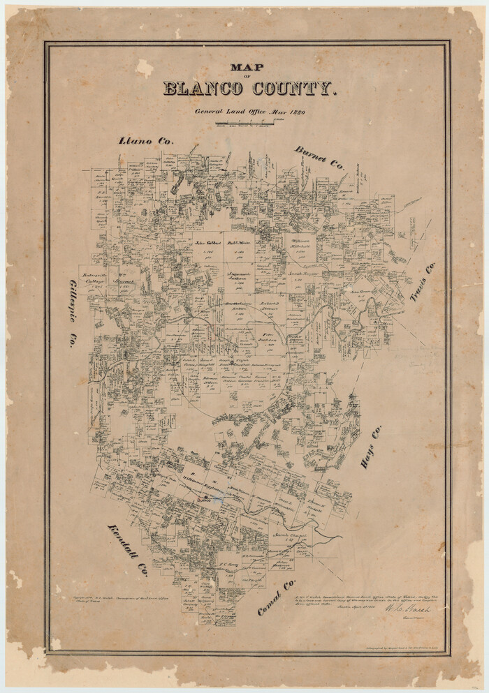

Print $20.00
- Digital $50.00
Map of Blanco County, Texas
1880
Size 28.5 x 20.1 inches
Map/Doc 406
Flight Mission No. BQR-14K, Frame 35, Brazoria County
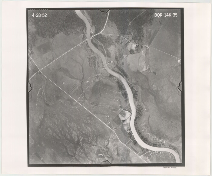

Print $20.00
- Digital $50.00
Flight Mission No. BQR-14K, Frame 35, Brazoria County
1952
Size 18.5 x 22.2 inches
Map/Doc 84092
Presidio County Sketch File 30
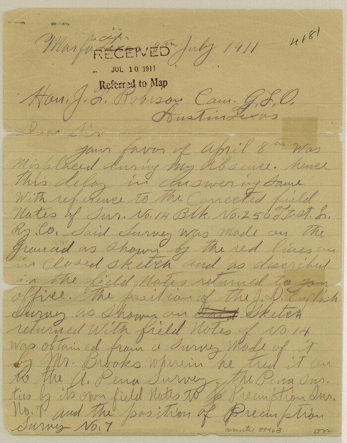

Print $10.00
- Digital $50.00
Presidio County Sketch File 30
1890
Size 10.3 x 8.1 inches
Map/Doc 34468
Mills County Sketch File 27
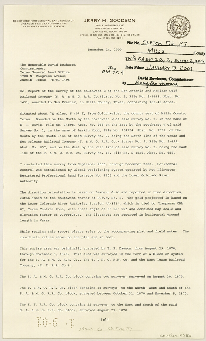

Print $8.00
- Digital $50.00
Mills County Sketch File 27
2000
Size 14.4 x 8.7 inches
Map/Doc 31680
General Highway Map. Detail of Cities and Towns in Austin County, Texas [Sealy and Bellville, etc.]
![79358, General Highway Map. Detail of Cities and Towns in Austin County, Texas [Sealy and Bellville, etc.], Texas State Library and Archives](https://historictexasmaps.com/wmedia_w700/maps/79358.tif.jpg)
![79358, General Highway Map. Detail of Cities and Towns in Austin County, Texas [Sealy and Bellville, etc.], Texas State Library and Archives](https://historictexasmaps.com/wmedia_w700/maps/79358.tif.jpg)
Print $20.00
General Highway Map. Detail of Cities and Towns in Austin County, Texas [Sealy and Bellville, etc.]
1961
Size 18.2 x 25.0 inches
Map/Doc 79358
![91715, [Sketch showing I. & G. N. Block 8], Twichell Survey Records](https://historictexasmaps.com/wmedia_w1800h1800/maps/91715-1.tif.jpg)
