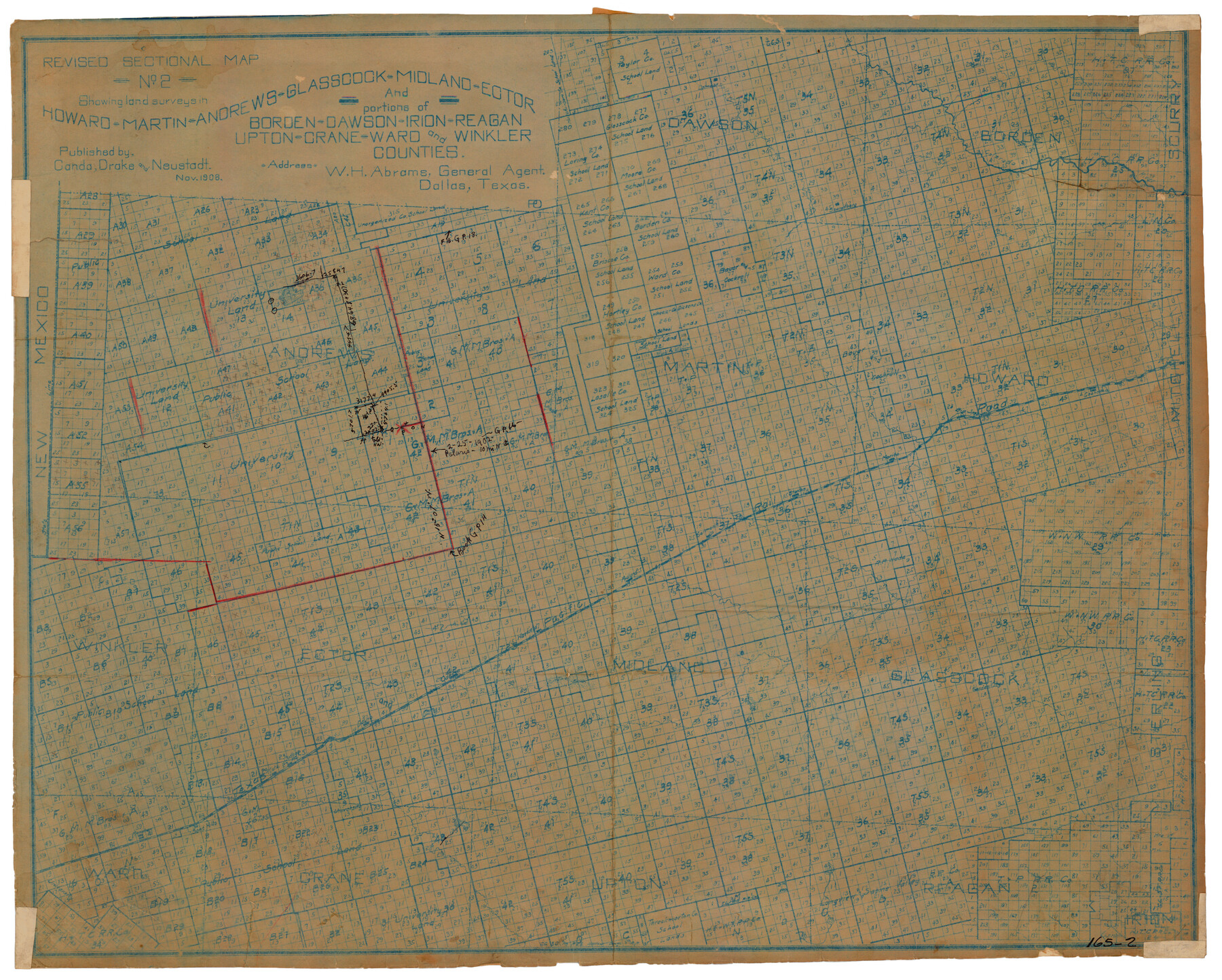
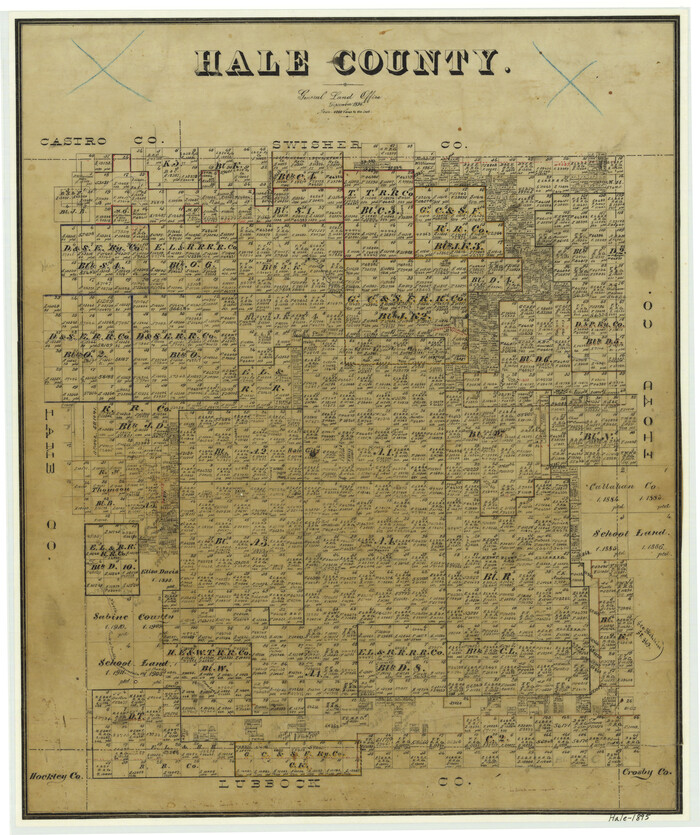
Part of: Twichell Survey Records
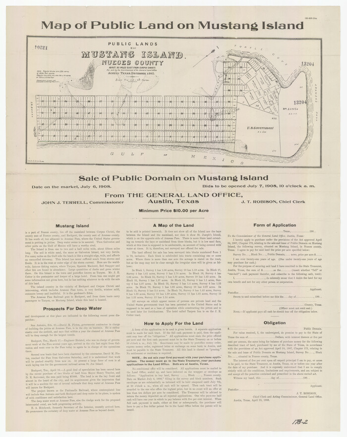
Map of Public Land on Mustang Island

Print $20.00
- Digital $50.00
Map of Public Land on Mustang Island
1907
Size 17.7 x 22.3 inches
Map/Doc 91492
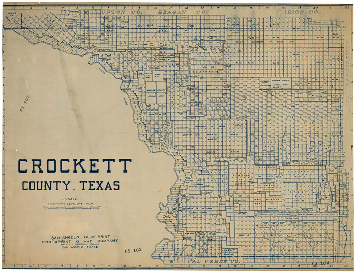
Crockett County, Texas

Print $20.00
- Digital $50.00
Crockett County, Texas
Size 39.8 x 30.8 inches
Map/Doc 92547
Section 8, Block B


Print $20.00
- Digital $50.00
Section 8, Block B
1951
Size 24.8 x 16.8 inches
Map/Doc 92275
[Sketch Between Collingsworth County and Oklahoma]
![89663, [Sketch Between Collingsworth County and Oklahoma], Twichell Survey Records](https://historictexasmaps.com/wmedia_w700/maps/89663-1.tif.jpg)
![89663, [Sketch Between Collingsworth County and Oklahoma], Twichell Survey Records](https://historictexasmaps.com/wmedia_w700/maps/89663-1.tif.jpg)
Print $40.00
- Digital $50.00
[Sketch Between Collingsworth County and Oklahoma]
Size 9.4 x 62.5 inches
Map/Doc 89663
[E.L.R.R.R.R.Co. Blocks A-1, 1, H, Y, Public School Land Blocks C-40, C-41, C-39, C-42]
![92904, [E.L.R.R.R.R.Co. Blocks A-1, 1, H, Y, Public School Land Blocks C-40, C-41, C-39, C-42], Twichell Survey Records](https://historictexasmaps.com/wmedia_w700/maps/92904-1.tif.jpg)
![92904, [E.L.R.R.R.R.Co. Blocks A-1, 1, H, Y, Public School Land Blocks C-40, C-41, C-39, C-42], Twichell Survey Records](https://historictexasmaps.com/wmedia_w700/maps/92904-1.tif.jpg)
Print $20.00
- Digital $50.00
[E.L.R.R.R.R.Co. Blocks A-1, 1, H, Y, Public School Land Blocks C-40, C-41, C-39, C-42]
Size 21.6 x 21.2 inches
Map/Doc 92904
[Nathaniel H. Cochran Survey and Vicinity]
![91494, [Nathaniel H. Cochran Survey and Vicinity], Twichell Survey Records](https://historictexasmaps.com/wmedia_w700/maps/91494-1.tif.jpg)
![91494, [Nathaniel H. Cochran Survey and Vicinity], Twichell Survey Records](https://historictexasmaps.com/wmedia_w700/maps/91494-1.tif.jpg)
Print $20.00
- Digital $50.00
[Nathaniel H. Cochran Survey and Vicinity]
Size 26.7 x 18.8 inches
Map/Doc 91494
Roberts & McWhorter Addition


Print $20.00
- Digital $50.00
Roberts & McWhorter Addition
Size 31.0 x 30.6 inches
Map/Doc 93219
Brazos River Conservation and Reclamation District Official Boundary Line Survey


Print $20.00
- Digital $50.00
Brazos River Conservation and Reclamation District Official Boundary Line Survey
Size 37.2 x 24.7 inches
Map/Doc 90183
[Sketch to determine conflict between H. & T. C. Blk. 97 and T. & P. Ry. Co. Blk. 30]
![90139, [Sketch to determine conflict between H. & T. C. Blk. 97 and T. & P. Ry. Co. Blk. 30], Twichell Survey Records](https://historictexasmaps.com/wmedia_w700/maps/90139-1.tif.jpg)
![90139, [Sketch to determine conflict between H. & T. C. Blk. 97 and T. & P. Ry. Co. Blk. 30], Twichell Survey Records](https://historictexasmaps.com/wmedia_w700/maps/90139-1.tif.jpg)
Print $20.00
- Digital $50.00
[Sketch to determine conflict between H. & T. C. Blk. 97 and T. & P. Ry. Co. Blk. 30]
1903
Size 19.1 x 26.9 inches
Map/Doc 90139
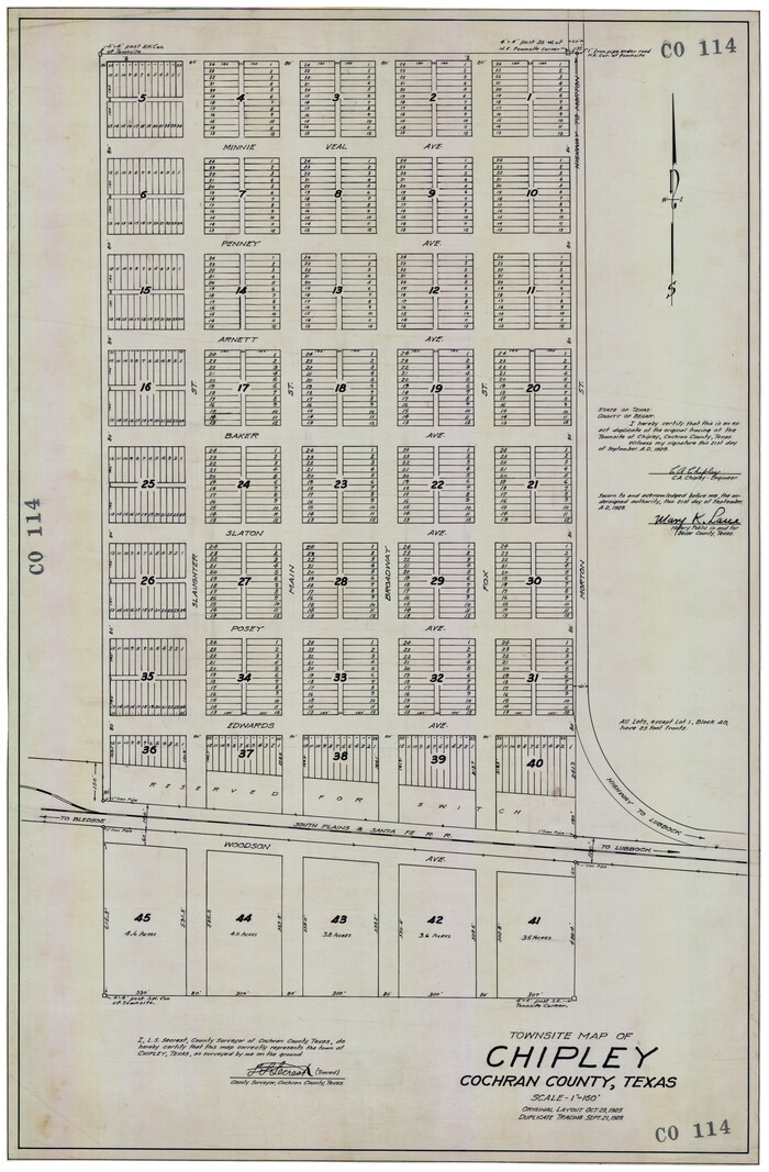
Townsite Map of Chipley, Cochran County, Texas

Print $20.00
- Digital $50.00
Townsite Map of Chipley, Cochran County, Texas
1925
Size 19.4 x 29.3 inches
Map/Doc 92524
[Area south of University Block 16, Block O and PSL Block N]
![91951, [Area south of University Block 16, Block O and PSL Block N], Twichell Survey Records](https://historictexasmaps.com/wmedia_w700/maps/91951-1.tif.jpg)
![91951, [Area south of University Block 16, Block O and PSL Block N], Twichell Survey Records](https://historictexasmaps.com/wmedia_w700/maps/91951-1.tif.jpg)
Print $20.00
- Digital $50.00
[Area south of University Block 16, Block O and PSL Block N]
Size 21.9 x 24.0 inches
Map/Doc 91951
City of Littlefield Lamb County Texas Located on Texas State Capitol League 664


Print $20.00
- Digital $50.00
City of Littlefield Lamb County Texas Located on Texas State Capitol League 664
Size 41.0 x 37.1 inches
Map/Doc 89911
You may also like
Bell County Sketch File 20a


Print $4.00
- Digital $50.00
Bell County Sketch File 20a
1855
Size 6.7 x 8.3 inches
Map/Doc 14408
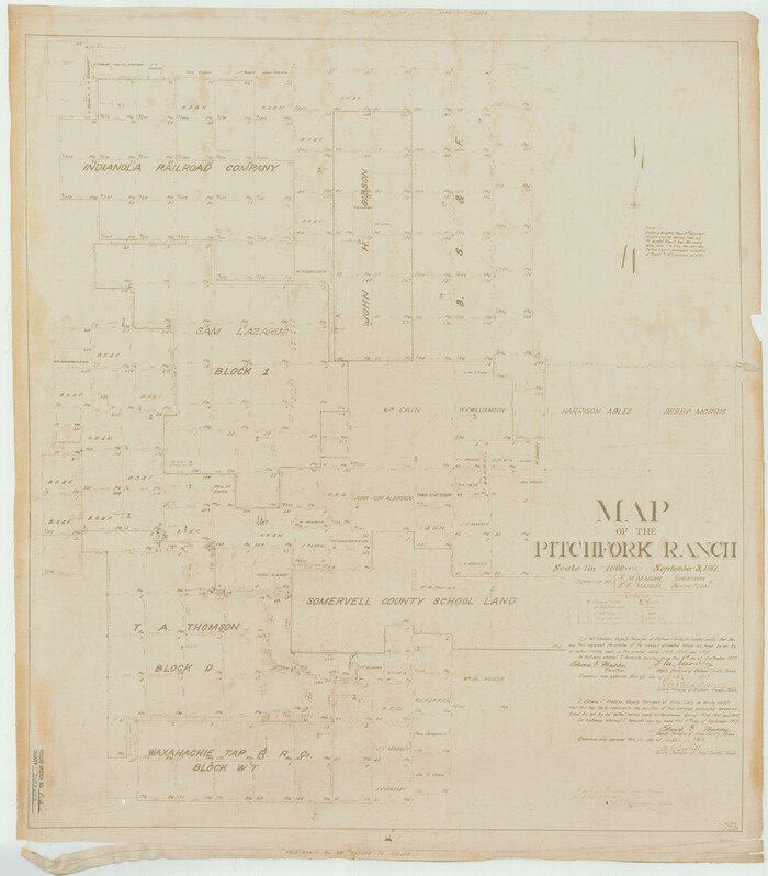
Dickens County Rolled Sketch P2

Print $20.00
- Digital $50.00
Dickens County Rolled Sketch P2
1917
Size 41.5 x 36.4 inches
Map/Doc 8784
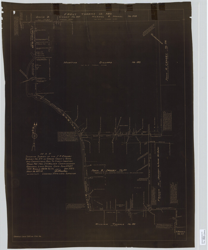
Gregg County Rolled Sketch JB2

Print $20.00
- Digital $50.00
Gregg County Rolled Sketch JB2
1933
Size 42.0 x 35.1 inches
Map/Doc 8341
Dallam County Boundary File 1


Print $12.00
- Digital $50.00
Dallam County Boundary File 1
Size 9.0 x 7.6 inches
Map/Doc 52047
Montgomery County Rolled Sketch 19A


Print $40.00
- Digital $50.00
Montgomery County Rolled Sketch 19A
1933
Size 53.4 x 35.4 inches
Map/Doc 9530
Guadalupe County Working Sketch 4


Print $20.00
- Digital $50.00
Guadalupe County Working Sketch 4
1939
Size 17.7 x 10.8 inches
Map/Doc 63313
Van Zandt County Sketch File 18


Print $4.00
- Digital $50.00
Van Zandt County Sketch File 18
1858
Size 9.7 x 7.7 inches
Map/Doc 39420
Matagorda County Sketch File 43


Print $20.00
- Digital $50.00
Matagorda County Sketch File 43
1839
Size 13.2 x 8.2 inches
Map/Doc 30868
Cochran County Rolled Sketch 2


Print $20.00
- Digital $50.00
Cochran County Rolled Sketch 2
1940
Size 27.7 x 33.9 inches
Map/Doc 5500
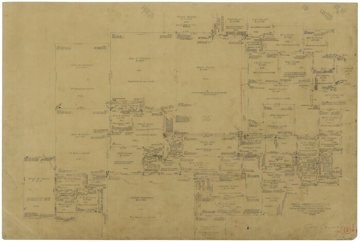
Cass County Working Sketch 2

Print $20.00
- Digital $50.00
Cass County Working Sketch 2
1935
Size 24.7 x 36.7 inches
Map/Doc 67905
Cass County Rolled Sketch 5A


Print $20.00
- Digital $50.00
Cass County Rolled Sketch 5A
Size 15.4 x 18.0 inches
Map/Doc 5411
