Midland County Rolled Sketch 4


Print $40.00
- Digital $50.00
Midland County Rolled Sketch 4
Size: 43.5 x 85.6 inches
10696
Midland County Rolled Sketch 4B


Print $40.00
- Digital $50.00
Midland County Rolled Sketch 4B
1951
Size: 77.5 x 25.1 inches
10725
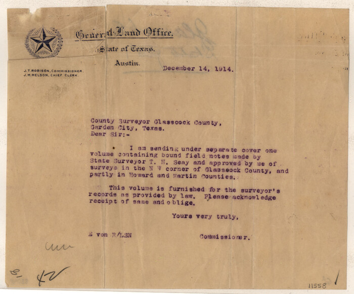
Glasscock County Sketch File 1

Print $46.00
- Digital $50.00
Glasscock County Sketch File 1
Size: 26.1 x 31.8 inches
11558
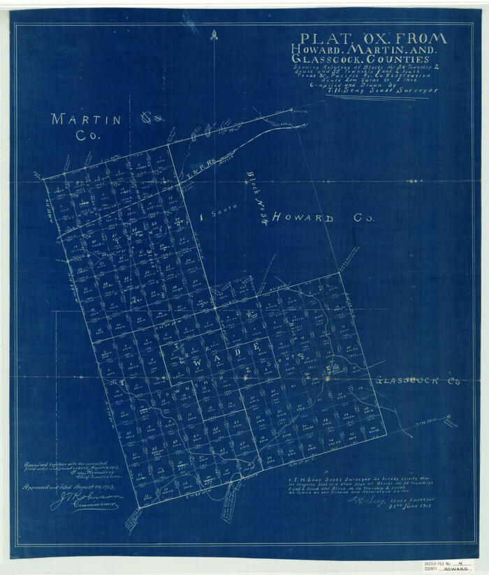
Howard County Sketch File 4

Print $20.00
- Digital $50.00
Howard County Sketch File 4
Size: 25.6 x 21.8 inches
11793
Martin County Sketch File 4


Print $20.00
- Digital $50.00
Martin County Sketch File 4
Size: 26.9 x 19.8 inches
12027
Martin County Sketch File 7


Print $20.00
- Digital $50.00
Martin County Sketch File 7
Size: 20.0 x 13.9 inches
12028
Martin County Sketch File 12


Print $20.00
- Digital $50.00
Martin County Sketch File 12
1937
Size: 22.9 x 19.5 inches
12030
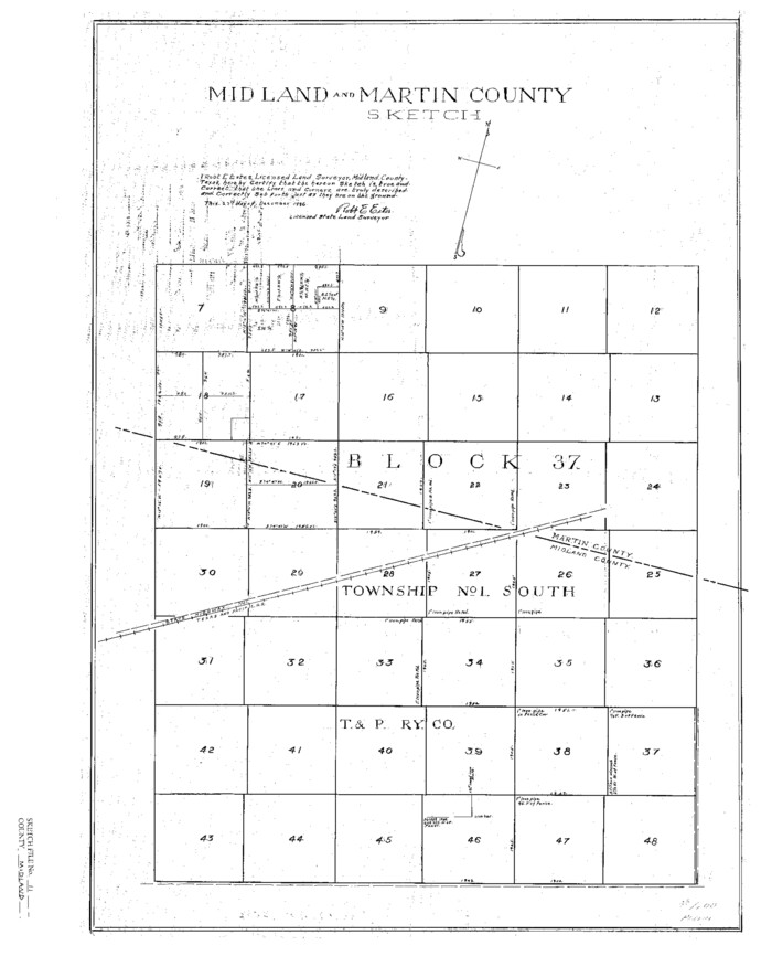
Midland County Sketch File 11

Print $20.00
- Digital $50.00
Midland County Sketch File 11
1936
Size: 21.6 x 17.5 inches
12086
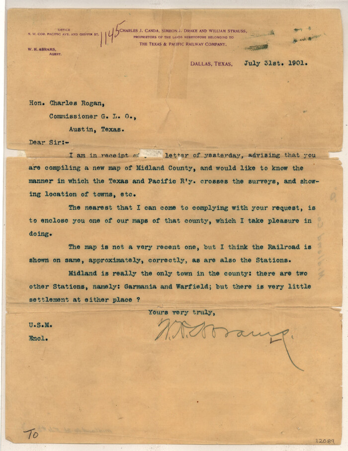
Midland County Sketch File D

Print $42.00
- Digital $50.00
Midland County Sketch File D
1901
Size: 32.6 x 18.4 inches
12089
Dawson County Sketch File B


Print $10.00
- Digital $50.00
Dawson County Sketch File B
1917
Size: 11.5 x 8.8 inches
20465
Dawson County Sketch File 5


Print $38.00
- Digital $50.00
Dawson County Sketch File 5
1924
Size: 13.4 x 8.9 inches
20509
Dawson County Sketch File 15
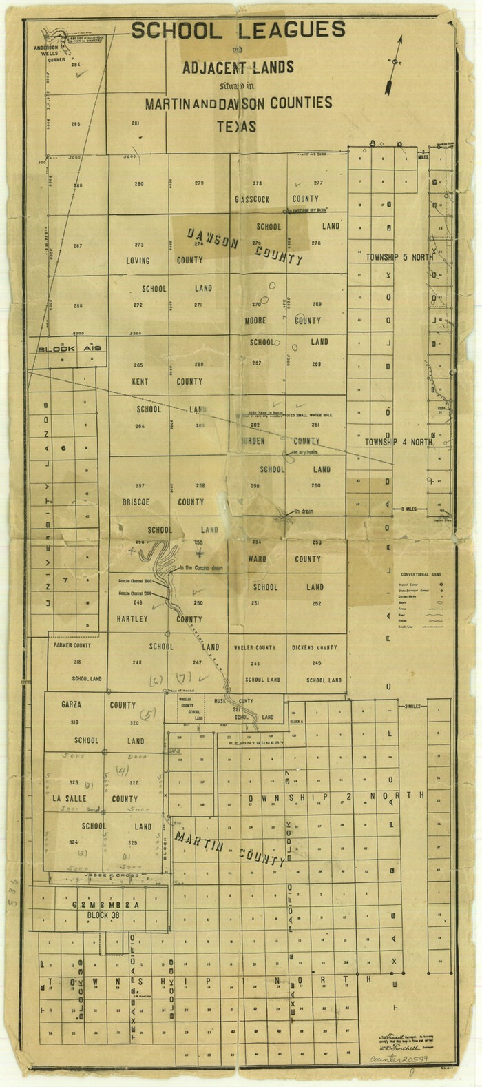

Print $40.00
- Digital $50.00
Dawson County Sketch File 15
Size: 17.8 x 7.9 inches
20549
[T&P Land Reserve, Blocks 33, 34 & 35, Tsps. 2, 3, 4, & 5, Dawson & Martin Counties, Texas


Print $20.00
- Digital $50.00
[T&P Land Reserve, Blocks 33, 34 & 35, Tsps. 2, 3, 4, & 5, Dawson & Martin Counties, Texas
1875
Size: 29.6 x 34.9 inches
2223
Map of Surveys Made for the T&PRR in Martin & Tom Green Counties, Blocks 34-39, Reserve West of the Colorado River
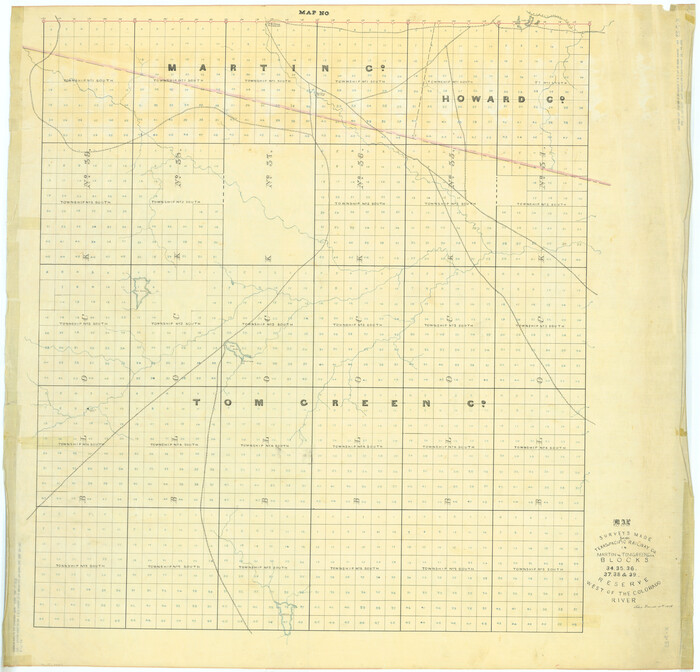

Print $20.00
- Digital $50.00
Map of Surveys Made for the T&PRR in Martin & Tom Green Counties, Blocks 34-39, Reserve West of the Colorado River
1876
Size: 41.9 x 43.7 inches
2226
Map of Surveys Made for the T&PRRCo in Tom Green & Martin Counties, Blocks 40, 41, 42, 43, 44, 45 & 46, Reserve West of the Colorado
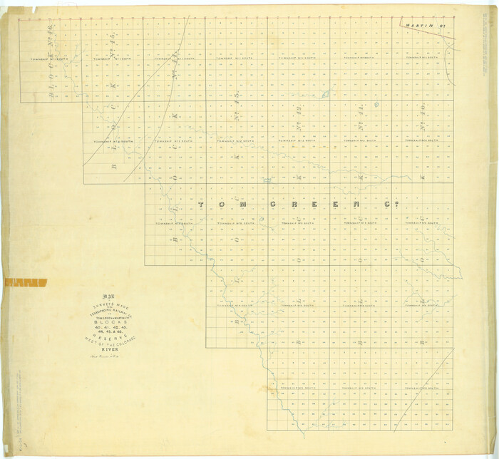

Print $20.00
- Digital $50.00
Map of Surveys Made for the T&PRRCo in Tom Green & Martin Counties, Blocks 40, 41, 42, 43, 44, 45 & 46, Reserve West of the Colorado
1876
Size: 42.3 x 46.0 inches
2227
Map of Surveys Made for the T&PRR in Andrews & Martin Counties, Blocks 37, 38, 39, 40 & 41, Reserve West of the Colorado River
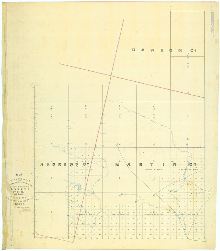

Print $20.00
- Digital $50.00
Map of Surveys Made for the T&PRR in Andrews & Martin Counties, Blocks 37, 38, 39, 40 & 41, Reserve West of the Colorado River
1876
Size: 42.0 x 36.8 inches
2229
Map of Surveys Made for the T&PRR in Borden, Dawson, Howard & Martin Counties, Blocks 32, 33, 34, 35 & 36, Reserve West of the Colorado


Print $20.00
- Digital $50.00
Map of Surveys Made for the T&PRR in Borden, Dawson, Howard & Martin Counties, Blocks 32, 33, 34, 35 & 36, Reserve West of the Colorado
1876
Size: 42.0 x 38.2 inches
2231
University Land, Winkler-Andrews-Gaines-Dawson-Martin Counties
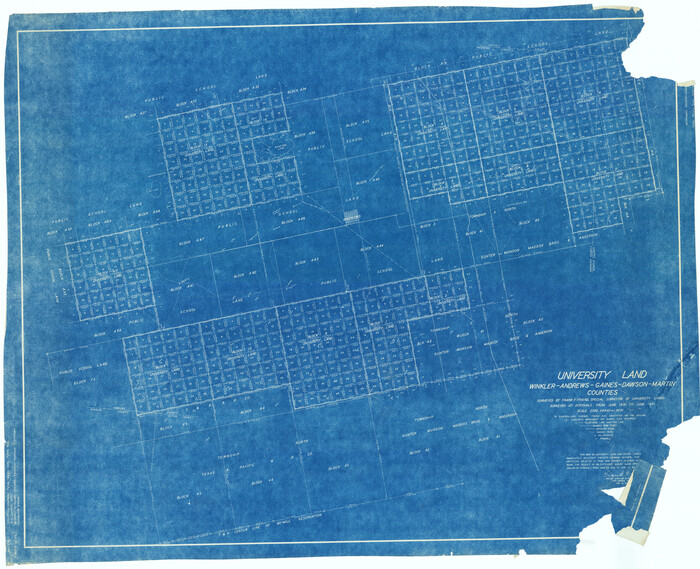

Print $40.00
- Digital $50.00
University Land, Winkler-Andrews-Gaines-Dawson-Martin Counties
1931
Size: 42.3 x 52.1 inches
2419
Howard County Sketch File A


Print $44.00
- Digital $50.00
Howard County Sketch File A
Size: 7.2 x 7.6 inches
26837
Howard County Sketch File 11


Print $40.00
- Digital $50.00
Howard County Sketch File 11
1937
Size: 17.6 x 10.2 inches
26865
Martin County Sketch File 1


Print $66.00
- Digital $50.00
Martin County Sketch File 1
Size: 19.3 x 8.9 inches
30626
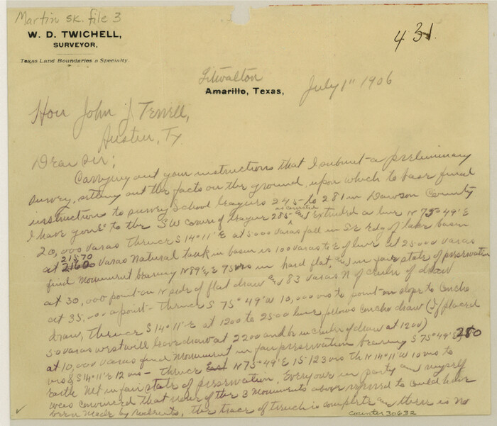
Martin County Sketch File 3

Print $19.00
- Digital $50.00
Martin County Sketch File 3
Size: 7.4 x 8.6 inches
30632
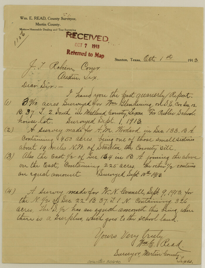
Martin County Sketch File 5

Print $4.00
- Digital $50.00
Martin County Sketch File 5
1913
Size: 11.4 x 8.7 inches
30640
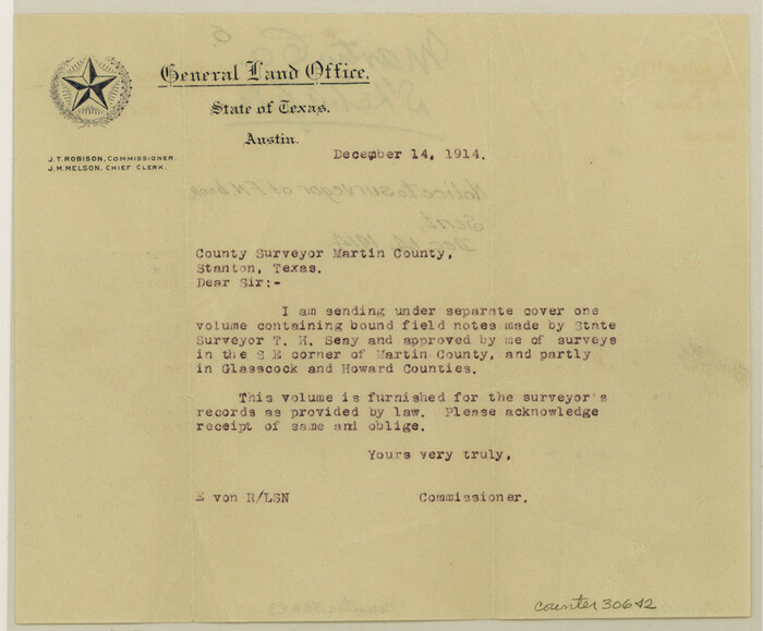
Martin County Sketch File 6

Print $4.00
- Digital $50.00
Martin County Sketch File 6
1914
Size: 7.3 x 8.9 inches
30642
Martin County Sketch File 10
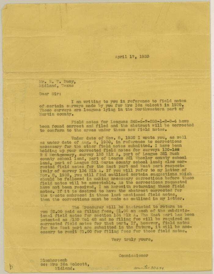

Print $50.00
- Digital $50.00
Martin County Sketch File 10
Size: 11.2 x 8.8 inches
30644
Martin County Sketch File 13
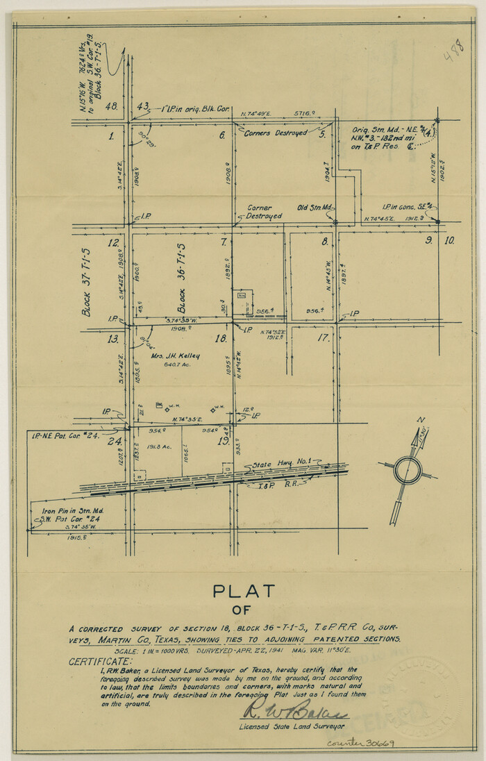

Print $4.00
- Digital $50.00
Martin County Sketch File 13
1941
Size: 14.2 x 9.1 inches
30669
Martin County Sketch File 14


Print $46.00
- Digital $50.00
Martin County Sketch File 14
1937
Size: 11.2 x 8.8 inches
30671
Martin County Sketch File 15


Print $4.00
- Digital $50.00
Martin County Sketch File 15
Size: 11.9 x 8.3 inches
30674
Midland County Rolled Sketch 4


Print $40.00
- Digital $50.00
Midland County Rolled Sketch 4
-
Size
43.5 x 85.6 inches
-
Map/Doc
10696
Midland County Rolled Sketch 4B


Print $40.00
- Digital $50.00
Midland County Rolled Sketch 4B
1951
-
Size
77.5 x 25.1 inches
-
Map/Doc
10725
-
Creation Date
1951
Glasscock County Sketch File 1


Print $46.00
- Digital $50.00
Glasscock County Sketch File 1
-
Size
26.1 x 31.8 inches
-
Map/Doc
11558
Howard County Sketch File 4


Print $20.00
- Digital $50.00
Howard County Sketch File 4
-
Size
25.6 x 21.8 inches
-
Map/Doc
11793
Martin County Sketch File 4


Print $20.00
- Digital $50.00
Martin County Sketch File 4
-
Size
26.9 x 19.8 inches
-
Map/Doc
12027
Martin County Sketch File 7


Print $20.00
- Digital $50.00
Martin County Sketch File 7
-
Size
20.0 x 13.9 inches
-
Map/Doc
12028
Martin County Sketch File 9
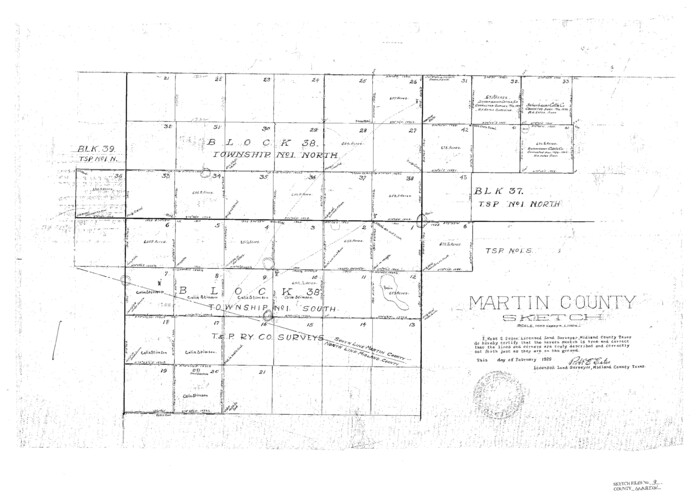

Print $20.00
Martin County Sketch File 9
-
Size
19.7 x 27.4 inches
-
Map/Doc
12029
Martin County Sketch File 12


Print $20.00
- Digital $50.00
Martin County Sketch File 12
1937
-
Size
22.9 x 19.5 inches
-
Map/Doc
12030
-
Creation Date
1937
Midland County Sketch File 11


Print $20.00
- Digital $50.00
Midland County Sketch File 11
1936
-
Size
21.6 x 17.5 inches
-
Map/Doc
12086
-
Creation Date
1936
Midland County Sketch File D


Print $42.00
- Digital $50.00
Midland County Sketch File D
1901
-
Size
32.6 x 18.4 inches
-
Map/Doc
12089
-
Creation Date
1901
Martin County
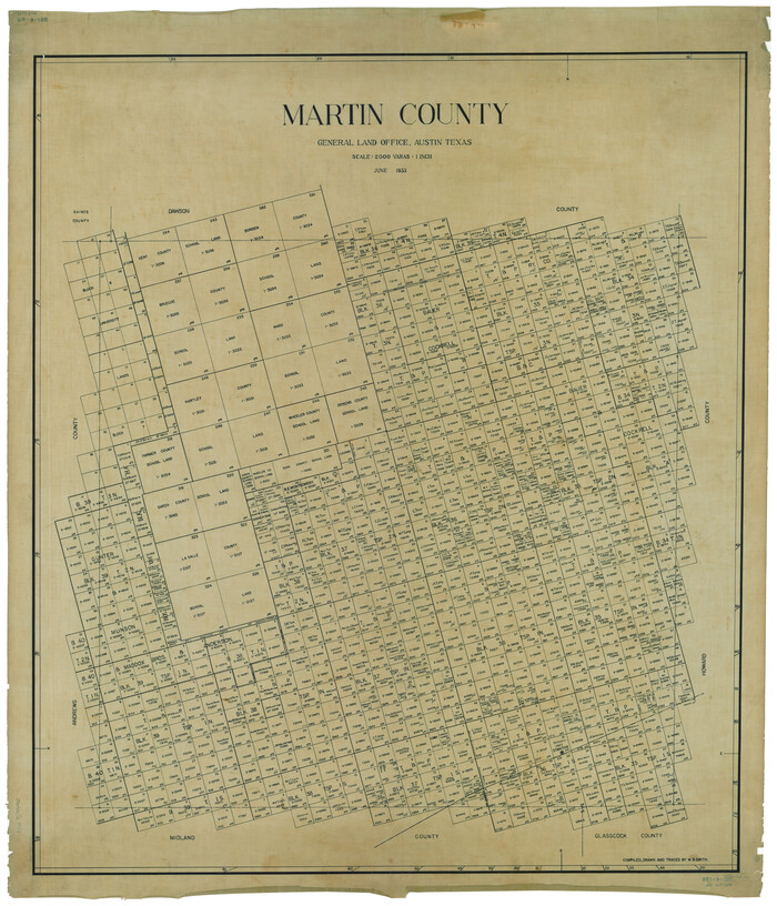

Print $20.00
- Digital $50.00
Martin County
1933
-
Size
45.9 x 39.4 inches
-
Map/Doc
1889
-
Creation Date
1933
Dawson County Sketch File B


Print $10.00
- Digital $50.00
Dawson County Sketch File B
1917
-
Size
11.5 x 8.8 inches
-
Map/Doc
20465
-
Creation Date
1917
Dawson County Sketch File 5


Print $38.00
- Digital $50.00
Dawson County Sketch File 5
1924
-
Size
13.4 x 8.9 inches
-
Map/Doc
20509
-
Creation Date
1924
Dawson County Sketch File 15


Print $40.00
- Digital $50.00
Dawson County Sketch File 15
-
Size
17.8 x 7.9 inches
-
Map/Doc
20549
[T&P Land Reserve, Blocks 33, 34 & 35, Tsps. 2, 3, 4, & 5, Dawson & Martin Counties, Texas


Print $20.00
- Digital $50.00
[T&P Land Reserve, Blocks 33, 34 & 35, Tsps. 2, 3, 4, & 5, Dawson & Martin Counties, Texas
1875
-
Size
29.6 x 34.9 inches
-
Map/Doc
2223
-
Creation Date
1875
Map of Surveys Made for the T&PRR in Martin & Tom Green Counties, Blocks 34-39, Reserve West of the Colorado River


Print $20.00
- Digital $50.00
Map of Surveys Made for the T&PRR in Martin & Tom Green Counties, Blocks 34-39, Reserve West of the Colorado River
1876
-
Size
41.9 x 43.7 inches
-
Map/Doc
2226
-
Creation Date
1876
Map of Surveys Made for the T&PRRCo in Tom Green & Martin Counties, Blocks 40, 41, 42, 43, 44, 45 & 46, Reserve West of the Colorado


Print $20.00
- Digital $50.00
Map of Surveys Made for the T&PRRCo in Tom Green & Martin Counties, Blocks 40, 41, 42, 43, 44, 45 & 46, Reserve West of the Colorado
1876
-
Size
42.3 x 46.0 inches
-
Map/Doc
2227
-
Creation Date
1876
Map of Surveys Made for the T&PRR in Andrews & Martin Counties, Blocks 37, 38, 39, 40 & 41, Reserve West of the Colorado River


Print $20.00
- Digital $50.00
Map of Surveys Made for the T&PRR in Andrews & Martin Counties, Blocks 37, 38, 39, 40 & 41, Reserve West of the Colorado River
1876
-
Size
42.0 x 36.8 inches
-
Map/Doc
2229
-
Creation Date
1876
Map of Surveys Made for the T&PRR in Borden, Dawson, Howard & Martin Counties, Blocks 32, 33, 34, 35 & 36, Reserve West of the Colorado


Print $20.00
- Digital $50.00
Map of Surveys Made for the T&PRR in Borden, Dawson, Howard & Martin Counties, Blocks 32, 33, 34, 35 & 36, Reserve West of the Colorado
1876
-
Size
42.0 x 38.2 inches
-
Map/Doc
2231
-
Creation Date
1876
University Land, Winkler-Andrews-Gaines-Dawson-Martin Counties


Print $40.00
- Digital $50.00
University Land, Winkler-Andrews-Gaines-Dawson-Martin Counties
1931
-
Size
42.3 x 52.1 inches
-
Map/Doc
2419
-
Creation Date
1931
Howard County Sketch File A


Print $44.00
- Digital $50.00
Howard County Sketch File A
-
Size
7.2 x 7.6 inches
-
Map/Doc
26837
Howard County Sketch File 11


Print $40.00
- Digital $50.00
Howard County Sketch File 11
1937
-
Size
17.6 x 10.2 inches
-
Map/Doc
26865
-
Creation Date
1937
Martin County Sketch File 1


Print $66.00
- Digital $50.00
Martin County Sketch File 1
-
Size
19.3 x 8.9 inches
-
Map/Doc
30626
Martin County Sketch File 3


Print $19.00
- Digital $50.00
Martin County Sketch File 3
-
Size
7.4 x 8.6 inches
-
Map/Doc
30632
Martin County Sketch File 5


Print $4.00
- Digital $50.00
Martin County Sketch File 5
1913
-
Size
11.4 x 8.7 inches
-
Map/Doc
30640
-
Creation Date
1913
Martin County Sketch File 6


Print $4.00
- Digital $50.00
Martin County Sketch File 6
1914
-
Size
7.3 x 8.9 inches
-
Map/Doc
30642
-
Creation Date
1914
Martin County Sketch File 10


Print $50.00
- Digital $50.00
Martin County Sketch File 10
-
Size
11.2 x 8.8 inches
-
Map/Doc
30644
Martin County Sketch File 13


Print $4.00
- Digital $50.00
Martin County Sketch File 13
1941
-
Size
14.2 x 9.1 inches
-
Map/Doc
30669
-
Creation Date
1941
Martin County Sketch File 14


Print $46.00
- Digital $50.00
Martin County Sketch File 14
1937
-
Size
11.2 x 8.8 inches
-
Map/Doc
30671
-
Creation Date
1937
Martin County Sketch File 15


Print $4.00
- Digital $50.00
Martin County Sketch File 15
-
Size
11.9 x 8.3 inches
-
Map/Doc
30674