Andrews County Rolled Sketch 11


Print $20.00
- Digital $50.00
Andrews County Rolled Sketch 11
1933
Size: 28.0 x 37.7 inches
77161
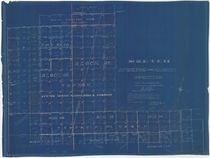
Andrews County Rolled Sketch 11A

Print $20.00
- Digital $50.00
Andrews County Rolled Sketch 11A
1933
Size: 28.1 x 37.4 inches
77162
Andrews County Rolled Sketch 42


Print $20.00
- Digital $50.00
Andrews County Rolled Sketch 42
Size: 27.3 x 36.0 inches
77182
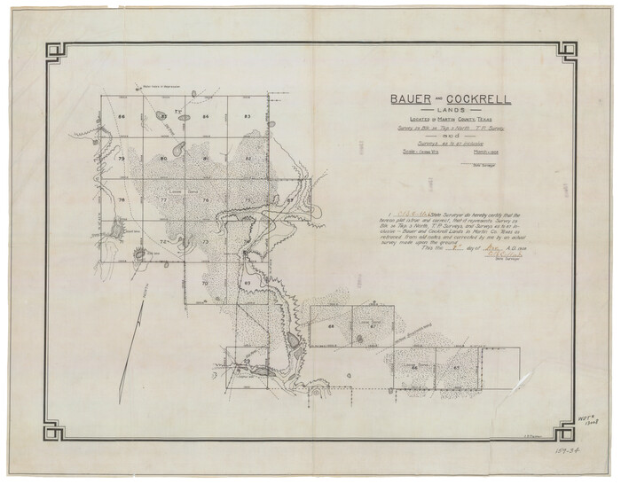
Bauer & Cockrell Lands Located in Martin County, Texas

Print $20.00
- Digital $50.00
Bauer & Cockrell Lands Located in Martin County, Texas
1908
Size: 28.5 x 22.3 inches
91365
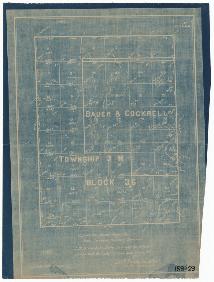
Block 36, Township 3 North

Print $20.00
- Digital $50.00
Block 36, Township 3 North
Size: 12.0 x 15.9 inches
91289
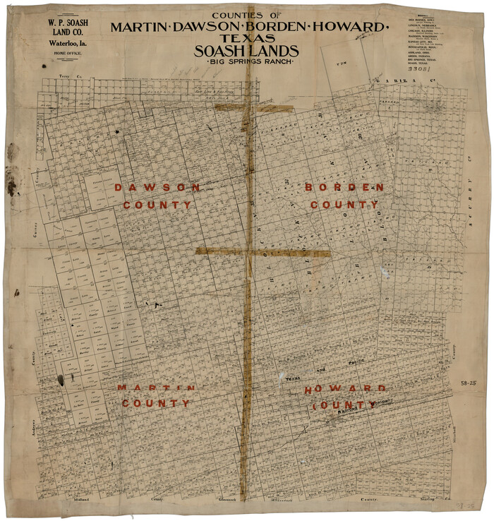
Counties of Martin, Dawson, Borden, Howard, Texas, Soash Lands, Big Spring Ranch

Print $20.00
- Digital $50.00
Counties of Martin, Dawson, Borden, Howard, Texas, Soash Lands, Big Spring Ranch
Size: 34.7 x 36.9 inches
93006
Counties of Martin, Dawson, Borden, and Howard, Texas Soash Lands, Big Springs Ranch


Print $20.00
- Digital $50.00
Counties of Martin, Dawson, Borden, and Howard, Texas Soash Lands, Big Springs Ranch
Size: 35.3 x 39.0 inches
91224
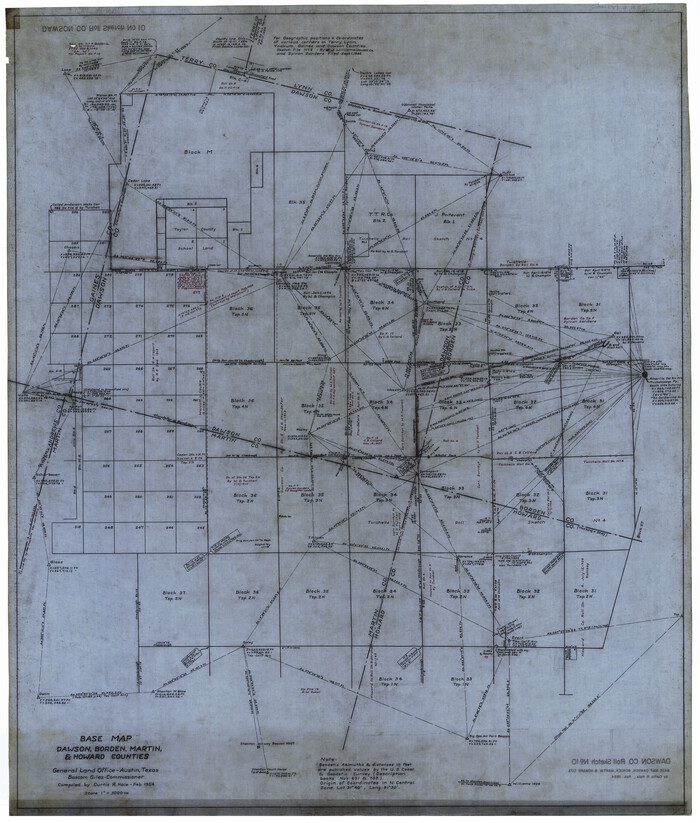
Dawson County Rolled Sketch 10

Print $20.00
- Digital $50.00
Dawson County Rolled Sketch 10
1954
Size: 44.5 x 37.9 inches
8774
Dawson County Rolled Sketch 5


Print $20.00
- Digital $50.00
Dawson County Rolled Sketch 5
1913
Size: 33.6 x 28.0 inches
5691
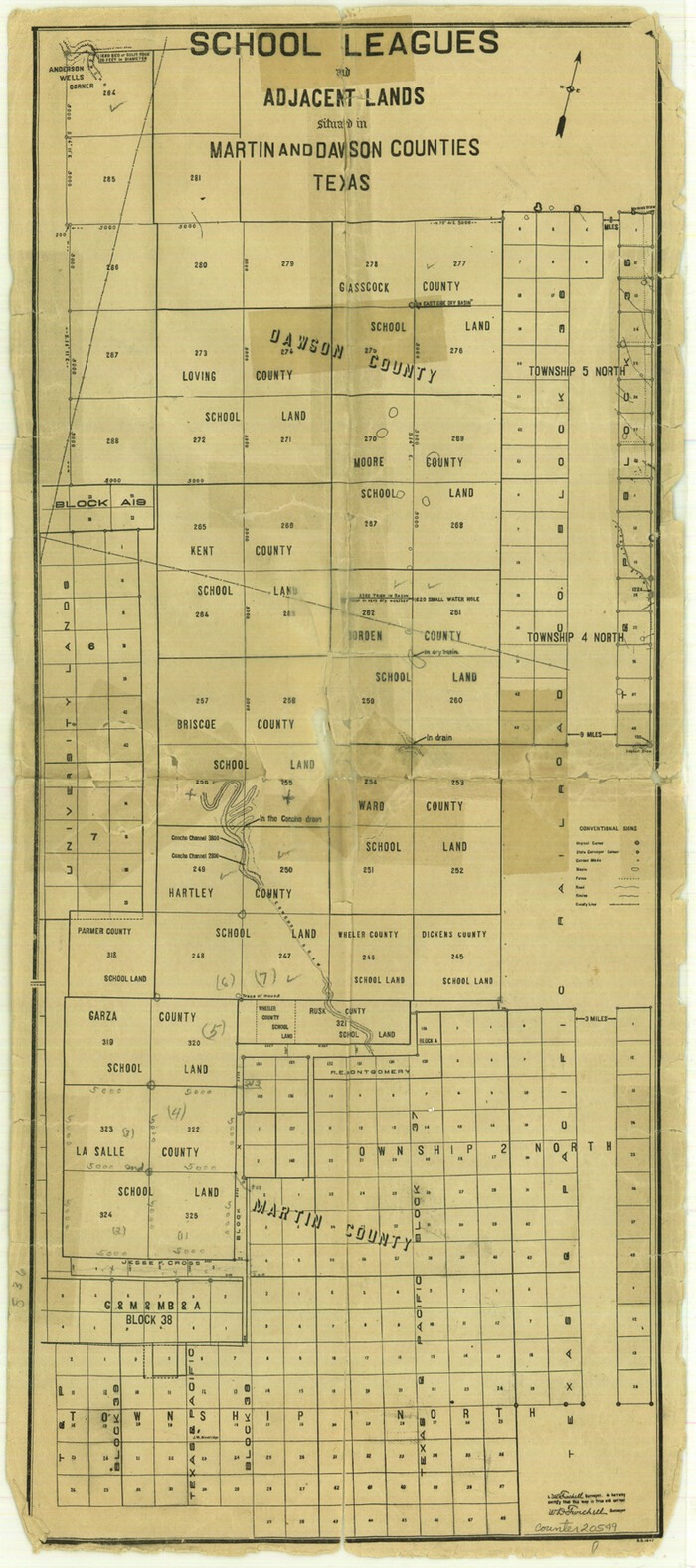
Dawson County Sketch File 15

Print $40.00
- Digital $50.00
Dawson County Sketch File 15
Size: 17.8 x 7.9 inches
20549
Dawson County Sketch File 5


Print $38.00
- Digital $50.00
Dawson County Sketch File 5
1924
Size: 13.4 x 8.9 inches
20509
Dawson County Sketch File B


Print $10.00
- Digital $50.00
Dawson County Sketch File B
1917
Size: 11.5 x 8.8 inches
20465
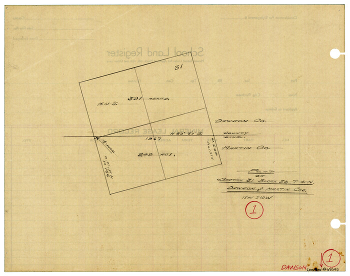
Dawson County Working Sketch 1

Print $20.00
- Digital $50.00
Dawson County Working Sketch 1
Size: 11.1 x 14.1 inches
68545
F. Z. Bishop's Subdivision of C. C. Slaughter Ranch


Print $20.00
- Digital $50.00
F. Z. Bishop's Subdivision of C. C. Slaughter Ranch
Size: 20.6 x 19.2 inches
92305
General Highway Map, Martin County, Texas


Print $20.00
General Highway Map, Martin County, Texas
1940
Size: 18.2 x 24.6 inches
79185
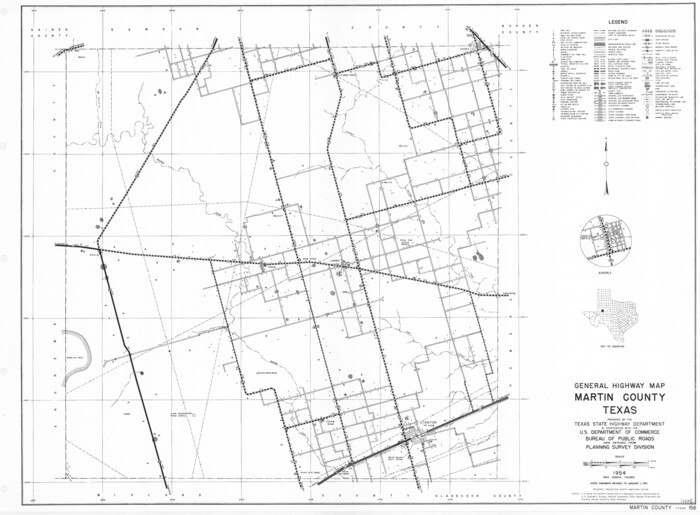
General Highway Map, Martin County, Texas

Print $20.00
General Highway Map, Martin County, Texas
1961
Size: 18.1 x 24.6 inches
79583
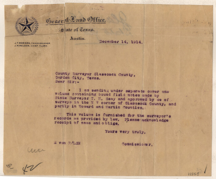
Glasscock County Sketch File 1

Print $46.00
- Digital $50.00
Glasscock County Sketch File 1
Size: 26.1 x 31.8 inches
11558
Howard County Rolled Sketch 6


Print $20.00
- Digital $50.00
Howard County Rolled Sketch 6
Size: 17.3 x 18.1 inches
6235
Howard County Rolled Sketch 8


Print $20.00
- Digital $50.00
Howard County Rolled Sketch 8
Size: 16.8 x 40.2 inches
6237
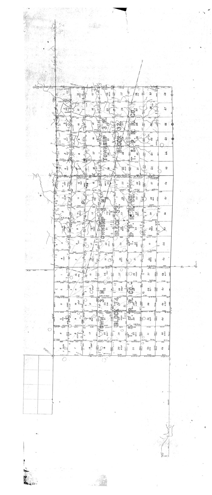
Howard County Rolled Sketch 8

Print $20.00
- Digital $50.00
Howard County Rolled Sketch 8
Size: 43.0 x 18.4 inches
6238
Howard County Sketch File 11


Print $40.00
- Digital $50.00
Howard County Sketch File 11
1937
Size: 17.6 x 10.2 inches
26865
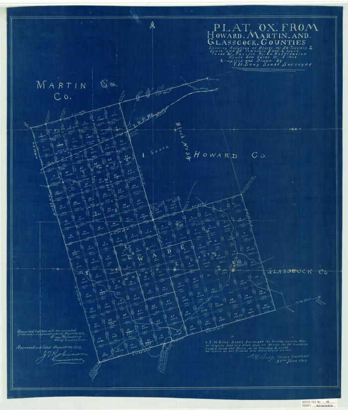
Howard County Sketch File 4

Print $20.00
- Digital $50.00
Howard County Sketch File 4
Size: 25.6 x 21.8 inches
11793
Howard County Sketch File A


Print $44.00
- Digital $50.00
Howard County Sketch File A
Size: 7.2 x 7.6 inches
26837
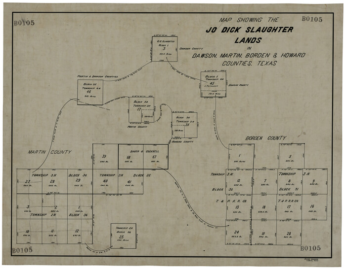
Map Showing the Jo Dick Slaughter Lands in Dawson, Martin, Borden, and Howard Counties, Texas

Print $20.00
- Digital $50.00
Map Showing the Jo Dick Slaughter Lands in Dawson, Martin, Borden, and Howard Counties, Texas
Size: 26.6 x 20.8 inches
92506
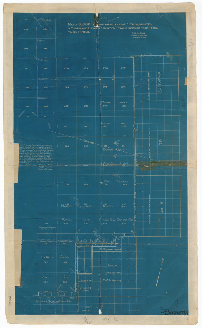
Map of Block X in the Name of Jesse F. Cross, Situated in Martin and Dawson Counties, Texas

Print $20.00
- Digital $50.00
Map of Block X in the Name of Jesse F. Cross, Situated in Martin and Dawson Counties, Texas
1908
Size: 26.2 x 42.4 inches
91356
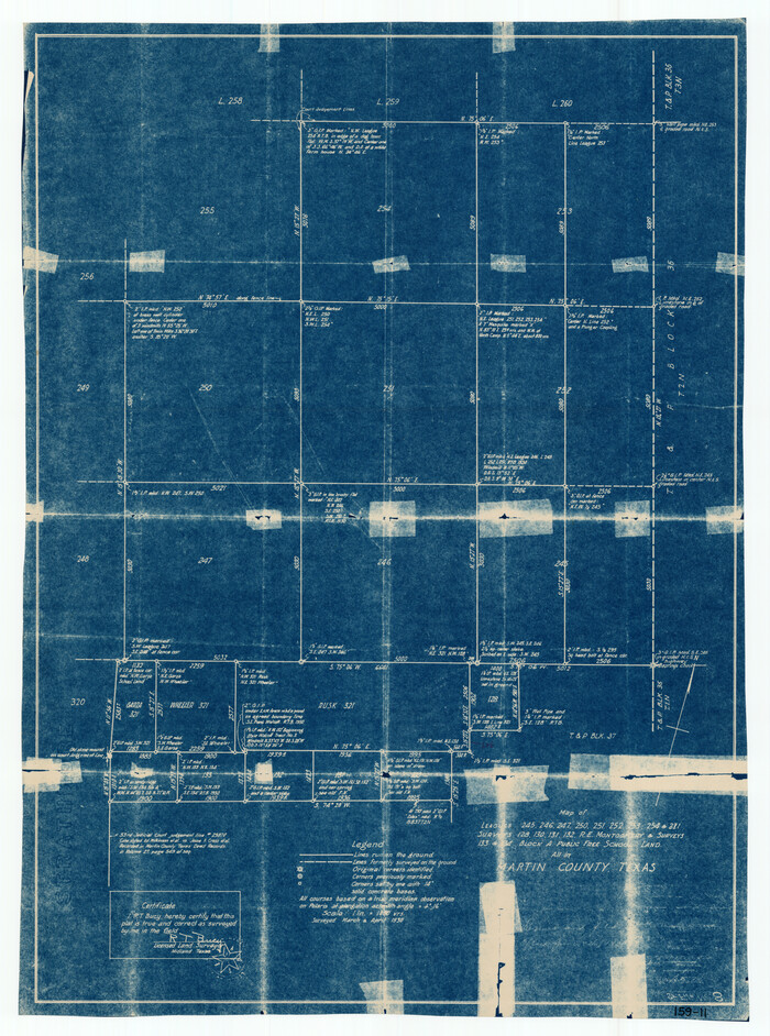
Map of Leagues 245, 246, 247, 250, 251, 252, 253, 254, and 321, Surveys 128, 130, 131, 132, R. E. Montgomery, and Surveys 133 and 134, Block A, Public Free School Land

Print $20.00
- Digital $50.00
Map of Leagues 245, 246, 247, 250, 251, 252, 253, 254, and 321, Surveys 128, 130, 131, 132, R. E. Montgomery, and Surveys 133 and 134, Block A, Public Free School Land
1930
Size: 21.8 x 29.4 inches
91270
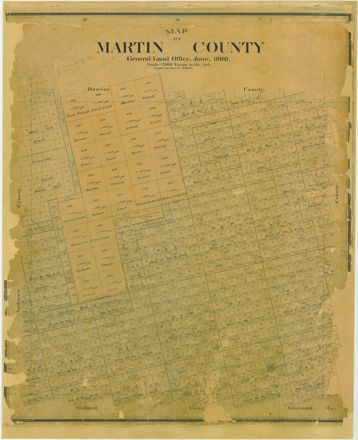
Map of Martin County

Print $20.00
- Digital $50.00
Map of Martin County
1900
Size: 41.9 x 35.0 inches
4789
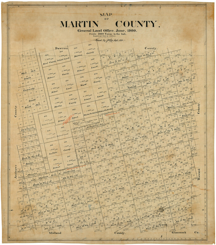
Map of Martin County

Print $20.00
- Digital $50.00
Map of Martin County
1900
Size: 41.4 x 36.5 inches
66918
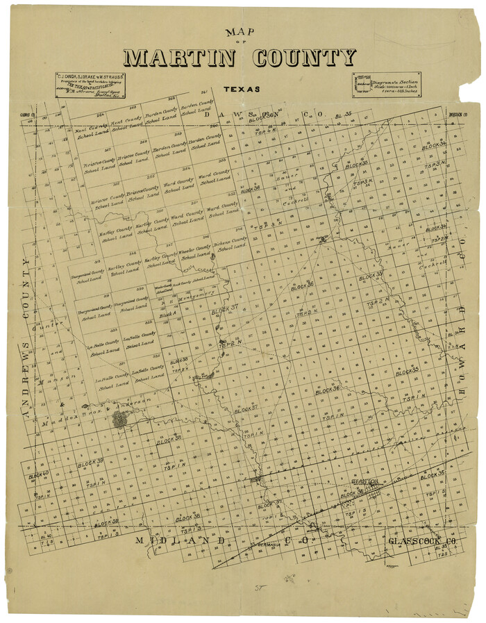
Map of Martin County Texas

Print $20.00
- Digital $50.00
Map of Martin County Texas
1880
Size: 22.6 x 19.0 inches
4592
Andrews County Rolled Sketch 11


Print $20.00
- Digital $50.00
Andrews County Rolled Sketch 11
1933
-
Size
28.0 x 37.7 inches
-
Map/Doc
77161
-
Creation Date
1933
Andrews County Rolled Sketch 11A


Print $20.00
- Digital $50.00
Andrews County Rolled Sketch 11A
1933
-
Size
28.1 x 37.4 inches
-
Map/Doc
77162
-
Creation Date
1933
Andrews County Rolled Sketch 42


Print $20.00
- Digital $50.00
Andrews County Rolled Sketch 42
-
Size
27.3 x 36.0 inches
-
Map/Doc
77182
Bauer & Cockrell Lands Located in Martin County, Texas


Print $20.00
- Digital $50.00
Bauer & Cockrell Lands Located in Martin County, Texas
1908
-
Size
28.5 x 22.3 inches
-
Map/Doc
91365
-
Creation Date
1908
Block 36, Township 3 North


Print $20.00
- Digital $50.00
Block 36, Township 3 North
-
Size
12.0 x 15.9 inches
-
Map/Doc
91289
Counties of Martin, Dawson, Borden, Howard, Texas, Soash Lands, Big Spring Ranch


Print $20.00
- Digital $50.00
Counties of Martin, Dawson, Borden, Howard, Texas, Soash Lands, Big Spring Ranch
-
Size
34.7 x 36.9 inches
-
Map/Doc
93006
Counties of Martin, Dawson, Borden, and Howard, Texas Soash Lands, Big Springs Ranch


Print $20.00
- Digital $50.00
Counties of Martin, Dawson, Borden, and Howard, Texas Soash Lands, Big Springs Ranch
-
Size
35.3 x 39.0 inches
-
Map/Doc
91224
Dawson County Rolled Sketch 10


Print $20.00
- Digital $50.00
Dawson County Rolled Sketch 10
1954
-
Size
44.5 x 37.9 inches
-
Map/Doc
8774
-
Creation Date
1954
Dawson County Rolled Sketch 5


Print $20.00
- Digital $50.00
Dawson County Rolled Sketch 5
1913
-
Size
33.6 x 28.0 inches
-
Map/Doc
5691
-
Creation Date
1913
Dawson County Sketch File 15


Print $40.00
- Digital $50.00
Dawson County Sketch File 15
-
Size
17.8 x 7.9 inches
-
Map/Doc
20549
Dawson County Sketch File 5


Print $38.00
- Digital $50.00
Dawson County Sketch File 5
1924
-
Size
13.4 x 8.9 inches
-
Map/Doc
20509
-
Creation Date
1924
Dawson County Sketch File B


Print $10.00
- Digital $50.00
Dawson County Sketch File B
1917
-
Size
11.5 x 8.8 inches
-
Map/Doc
20465
-
Creation Date
1917
Dawson County Working Sketch 1


Print $20.00
- Digital $50.00
Dawson County Working Sketch 1
-
Size
11.1 x 14.1 inches
-
Map/Doc
68545
F. Z. Bishop's Subdivision of C. C. Slaughter Ranch


Print $20.00
- Digital $50.00
F. Z. Bishop's Subdivision of C. C. Slaughter Ranch
-
Size
20.6 x 19.2 inches
-
Map/Doc
92305
General Highway Map, Martin County, Texas


Print $20.00
General Highway Map, Martin County, Texas
1940
-
Size
18.2 x 24.6 inches
-
Map/Doc
79185
-
Creation Date
1940
General Highway Map, Martin County, Texas


Print $20.00
General Highway Map, Martin County, Texas
1961
-
Size
18.1 x 24.6 inches
-
Map/Doc
79583
-
Creation Date
1961
Glasscock County Sketch File 1


Print $46.00
- Digital $50.00
Glasscock County Sketch File 1
-
Size
26.1 x 31.8 inches
-
Map/Doc
11558
Howard County Rolled Sketch 6


Print $20.00
- Digital $50.00
Howard County Rolled Sketch 6
-
Size
17.3 x 18.1 inches
-
Map/Doc
6235
Howard County Rolled Sketch 8


Print $20.00
- Digital $50.00
Howard County Rolled Sketch 8
-
Size
16.8 x 40.2 inches
-
Map/Doc
6237
Howard County Rolled Sketch 8


Print $20.00
- Digital $50.00
Howard County Rolled Sketch 8
-
Size
43.0 x 18.4 inches
-
Map/Doc
6238
Howard County Sketch File 11


Print $40.00
- Digital $50.00
Howard County Sketch File 11
1937
-
Size
17.6 x 10.2 inches
-
Map/Doc
26865
-
Creation Date
1937
Howard County Sketch File 4


Print $20.00
- Digital $50.00
Howard County Sketch File 4
-
Size
25.6 x 21.8 inches
-
Map/Doc
11793
Howard County Sketch File A


Print $44.00
- Digital $50.00
Howard County Sketch File A
-
Size
7.2 x 7.6 inches
-
Map/Doc
26837
Map Showing the Jo Dick Slaughter Lands in Dawson, Martin, Borden, and Howard Counties, Texas


Print $20.00
- Digital $50.00
Map Showing the Jo Dick Slaughter Lands in Dawson, Martin, Borden, and Howard Counties, Texas
-
Size
26.6 x 20.8 inches
-
Map/Doc
92506
Map of Block X in the Name of Jesse F. Cross, Situated in Martin and Dawson Counties, Texas


Print $20.00
- Digital $50.00
Map of Block X in the Name of Jesse F. Cross, Situated in Martin and Dawson Counties, Texas
1908
-
Size
26.2 x 42.4 inches
-
Map/Doc
91356
-
Creation Date
1908
Map of Leagues 245, 246, 247, 250, 251, 252, 253, 254, and 321, Surveys 128, 130, 131, 132, R. E. Montgomery, and Surveys 133 and 134, Block A, Public Free School Land


Print $20.00
- Digital $50.00
Map of Leagues 245, 246, 247, 250, 251, 252, 253, 254, and 321, Surveys 128, 130, 131, 132, R. E. Montgomery, and Surveys 133 and 134, Block A, Public Free School Land
1930
-
Size
21.8 x 29.4 inches
-
Map/Doc
91270
-
Creation Date
1930
Map of Martin County


Print $20.00
- Digital $50.00
Map of Martin County
1900
-
Size
41.9 x 35.0 inches
-
Map/Doc
4789
-
Creation Date
1900
Map of Martin County


Print $20.00
- Digital $50.00
Map of Martin County
1900
-
Size
41.4 x 36.5 inches
-
Map/Doc
66918
-
Creation Date
1900
Map of Martin County


Print $20.00
Map of Martin County
1894
-
Size
22.3 x 17.3 inches
-
Map/Doc
88977
-
Creation Date
1894
Map of Martin County Texas


Print $20.00
- Digital $50.00
Map of Martin County Texas
1880
-
Size
22.6 x 19.0 inches
-
Map/Doc
4592
-
Creation Date
1880