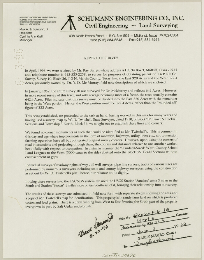
Martin County Sketch File 16
1996
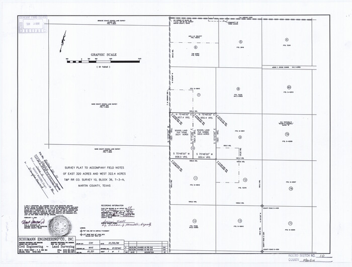
Martin County Rolled Sketch 10
1994

Martin County Rolled Sketch 10A
1994

Martin County Rolled Sketch 9
1990

Martin County Working Sketch 18
1982

Martin County Working Sketch 17
1981
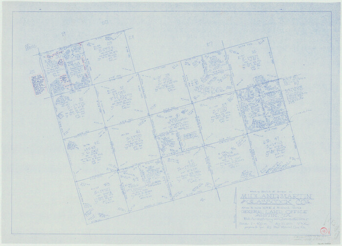
Martin County Working Sketch 16
1979
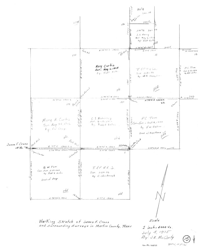
Martin County Working Sketch 15
1975
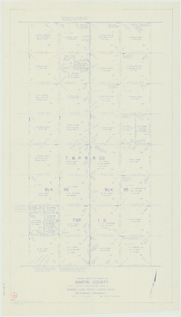
Martin County Working Sketch 14
1972
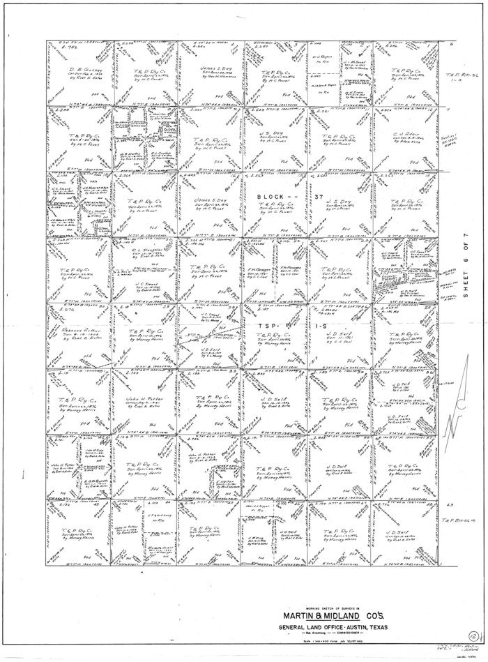
Martin County Working Sketch 12
1971

Martin County Working Sketch 13
1971
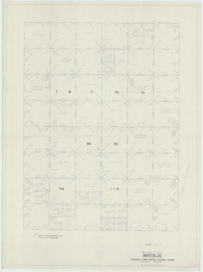
Martin County Working Sketch 10
1971
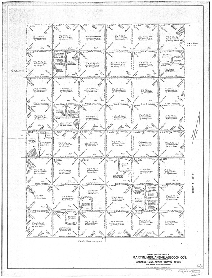
Martin County Working Sketch 11
1971
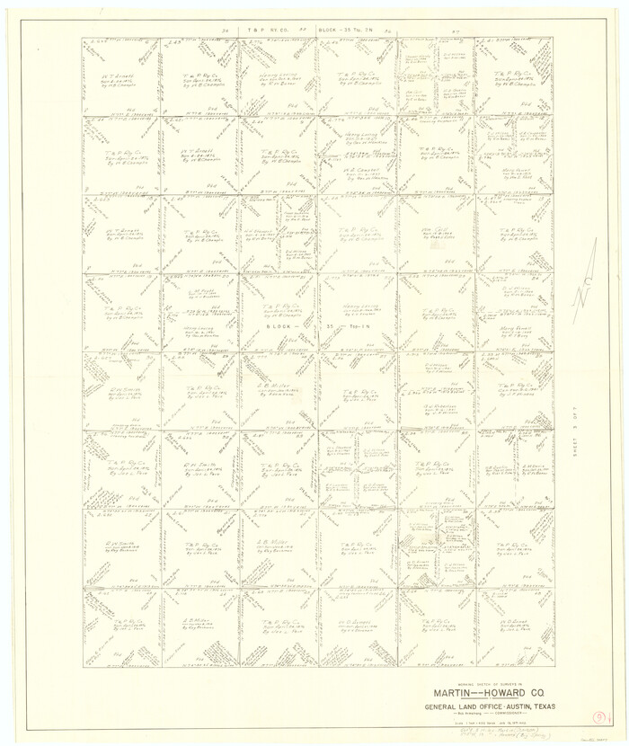
Martin County Working Sketch 9
1971
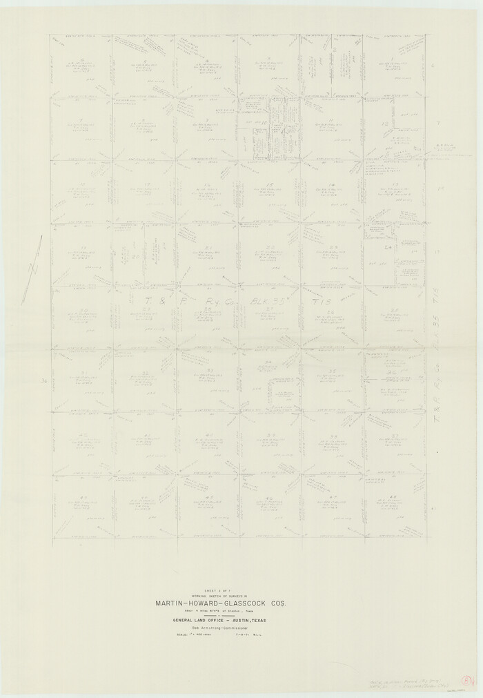
Martin County Working Sketch 8
1971

Martin County Working Sketch 7
1971

Martin County Working Sketch 6
1971
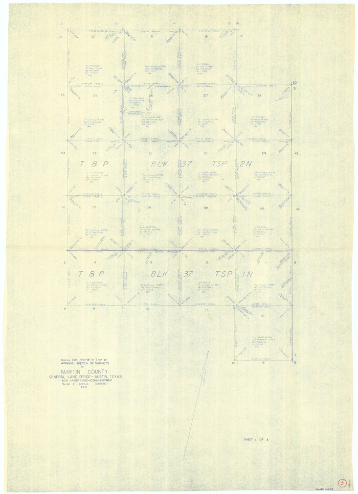
Martin County Working Sketch 5
1971
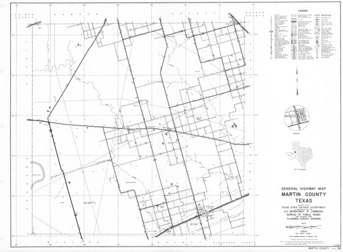
General Highway Map, Martin County, Texas
1961
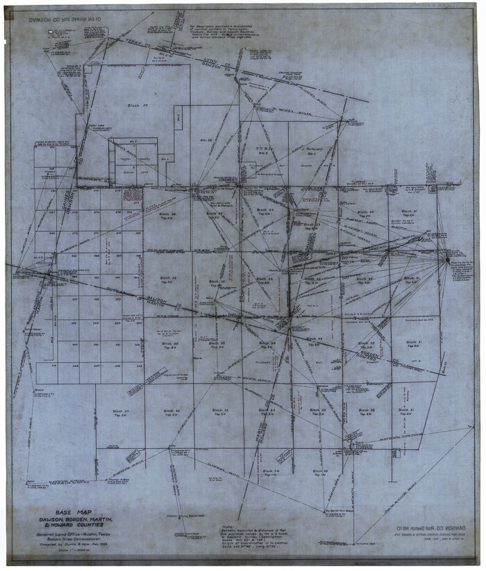
Dawson County Rolled Sketch 10
1954
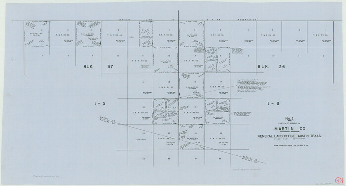
Martin County Working Sketch 4
1953

Midland County Working Sketch 16
1953

Midland County Rolled Sketch 7
1951

Midland County Rolled Sketch 4A
1951

Midland County Rolled Sketch 4B
1951
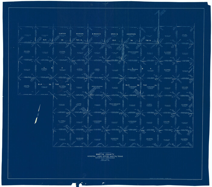
Martin County Working Sketch 3
1950

Martin County Working Sketch 2
1944
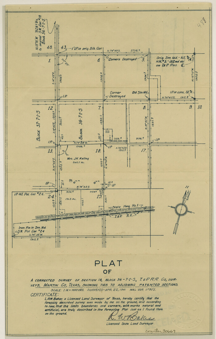
Martin County Sketch File 13
1941

General Highway Map, Martin County, Texas
1940

Martin County Sketch File 12
1937

Martin County Sketch File 16
1996
-
Size
11.2 x 8.8 inches
-
Map/Doc
30676
-
Creation Date
1996

Martin County Rolled Sketch 10
1994
-
Size
18.4 x 24.2 inches
-
Map/Doc
6670
-
Creation Date
1994

Martin County Rolled Sketch 10A
1994
-
Size
18.3 x 24.5 inches
-
Map/Doc
6671
-
Creation Date
1994

Martin County Rolled Sketch 9
1990
-
Size
17.3 x 11.4 inches
-
Map/Doc
6669
-
Creation Date
1990

Martin County Working Sketch 18
1982
-
Size
39.9 x 37.4 inches
-
Map/Doc
70836
-
Creation Date
1982

Martin County Working Sketch 17
1981
-
Size
32.4 x 41.4 inches
-
Map/Doc
70835
-
Creation Date
1981

Martin County Working Sketch 16
1979
-
Size
26.6 x 36.8 inches
-
Map/Doc
70834
-
Creation Date
1979

Martin County Working Sketch 15
1975
-
Size
23.9 x 19.5 inches
-
Map/Doc
70833
-
Creation Date
1975

Martin County Working Sketch 14
1972
-
Size
39.6 x 22.6 inches
-
Map/Doc
70832
-
Creation Date
1972

Martin County Working Sketch 12
1971
-
Size
48.2 x 35.6 inches
-
Map/Doc
70830
-
Creation Date
1971

Martin County Working Sketch 13
1971
-
Size
50.8 x 37.5 inches
-
Map/Doc
70831
-
Creation Date
1971

Martin County Working Sketch 10
1971
-
Size
50.0 x 37.4 inches
-
Map/Doc
70828
-
Creation Date
1971

Martin County Working Sketch 11
1971
-
Size
49.8 x 38.1 inches
-
Map/Doc
70829
-
Creation Date
1971

Martin County Working Sketch 9
1971
-
Size
45.2 x 38.1 inches
-
Map/Doc
70827
-
Creation Date
1971

Martin County Working Sketch 8
1971
-
Size
53.1 x 36.8 inches
-
Map/Doc
70826
-
Creation Date
1971

Martin County Working Sketch 7
1971
-
Size
43.0 x 31.3 inches
-
Map/Doc
70825
-
Creation Date
1971

Martin County Working Sketch 6
1971
-
Size
41.8 x 36.9 inches
-
Map/Doc
70824
-
Creation Date
1971

Martin County Working Sketch 5
1971
-
Size
42.9 x 31.0 inches
-
Map/Doc
70823
-
Creation Date
1971

General Highway Map, Martin County, Texas
1961
-
Size
18.1 x 24.6 inches
-
Map/Doc
79583
-
Creation Date
1961

Dawson County Rolled Sketch 10
1954
-
Size
44.5 x 37.9 inches
-
Map/Doc
8774
-
Creation Date
1954

Martin County Working Sketch 4
1953
-
Size
22.9 x 42.7 inches
-
Map/Doc
70822
-
Creation Date
1953

Midland County Working Sketch 16
1953
-
Size
61.7 x 32.6 inches
-
Map/Doc
70996
-
Creation Date
1953

Midland County Rolled Sketch 7
1951
-
Size
77.3 x 25.2 inches
-
Map/Doc
9519
-
Creation Date
1951

Midland County Rolled Sketch 4A
1951
-
Size
43.0 x 85.3 inches
-
Map/Doc
61735
-
Creation Date
1951

Midland County Rolled Sketch 4B
1951
-
Size
77.5 x 25.1 inches
-
Map/Doc
10725
-
Creation Date
1951

Martin County Working Sketch 3
1950
-
Size
40.9 x 46.2 inches
-
Map/Doc
70821
-
Creation Date
1950

Martin County Working Sketch 2
1944
-
Size
27.5 x 20.9 inches
-
Map/Doc
70820
-
Creation Date
1944

Martin County Sketch File 13
1941
-
Size
14.2 x 9.1 inches
-
Map/Doc
30669
-
Creation Date
1941

General Highway Map, Martin County, Texas
1940
-
Size
18.2 x 24.6 inches
-
Map/Doc
79185
-
Creation Date
1940

Martin County Sketch File 12
1937
-
Size
22.9 x 19.5 inches
-
Map/Doc
12030
-
Creation Date
1937