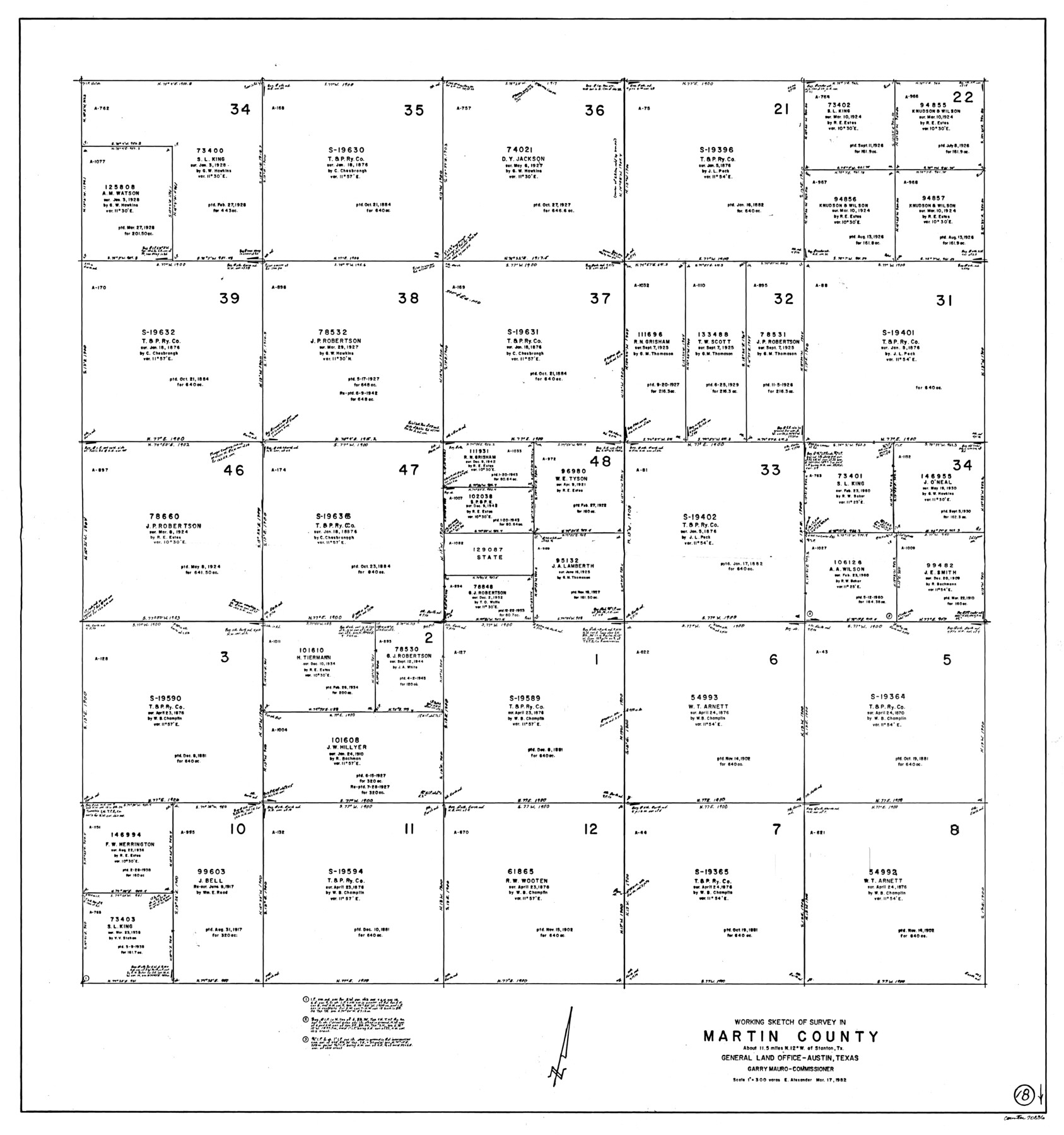
Martin County Working Sketch 18
-
Map/Doc
70836
-
Collection
General Map Collection
-
Object Dates
3/17/1982 (Creation Date)
-
People and Organizations
Earl Alexander (Draftsman)
-
Counties
Martin
-
Subjects
Surveying Working Sketch
-
Height x Width
39.9 x 37.4 inches
101.4 x 95.0 cm
-
Scale
1" = 300 varas
Part of: General Map Collection
Stephens County Working Sketch 27

Print $20.00
- Digital $50.00
Stephens County Working Sketch 27
1976
Size 34.4 x 32.3 inches
Map/Doc 63970
Flight Mission No. DQN-7K, Frame 15, Calhoun County

Print $20.00
- Digital $50.00
Flight Mission No. DQN-7K, Frame 15, Calhoun County
1953
Size 18.4 x 22.1 inches
Map/Doc 84466
Karnes County Rolled Sketch 2

Print $20.00
- Digital $50.00
Karnes County Rolled Sketch 2
1957
Size 35.3 x 30.0 inches
Map/Doc 6453
Kerr County Sketch File 18

Print $20.00
- Digital $50.00
Kerr County Sketch File 18
1950
Size 16.9 x 20.3 inches
Map/Doc 11921
Port Series No. 6 - The Ports of Galveston, Houston, and Texas City, Texas

Port Series No. 6 - The Ports of Galveston, Houston, and Texas City, Texas
1924
Map/Doc 97159
Lampasas County Boundary File 16

Print $14.00
- Digital $50.00
Lampasas County Boundary File 16
Size 8.9 x 8.2 inches
Map/Doc 56216
Flight Mission No. DIX-5P, Frame 105, Aransas County

Print $20.00
- Digital $50.00
Flight Mission No. DIX-5P, Frame 105, Aransas County
1956
Size 17.7 x 17.8 inches
Map/Doc 83783
Flight Mission No. BRA-16M, Frame 143, Jefferson County

Print $20.00
- Digital $50.00
Flight Mission No. BRA-16M, Frame 143, Jefferson County
1953
Size 18.5 x 22.2 inches
Map/Doc 85749
Brazoria County Sketch File 52

Print $6.00
- Digital $50.00
Brazoria County Sketch File 52
Size 14.5 x 8.0 inches
Map/Doc 15313
Map of Lavaca County

Print $20.00
- Digital $50.00
Map of Lavaca County
1853
Size 20.1 x 20.4 inches
Map/Doc 3801
Blanco County Working Sketch 19

Print $20.00
- Digital $50.00
Blanco County Working Sketch 19
1960
Size 24.4 x 29.2 inches
Map/Doc 67379
Crockett County Sketch File 13

Print $22.00
- Digital $50.00
Crockett County Sketch File 13
Size 8.9 x 3.6 inches
Map/Doc 19665
You may also like
Sutton County Working Sketch 9

Print $20.00
- Digital $50.00
Sutton County Working Sketch 9
1972
Size 41.8 x 38.1 inches
Map/Doc 62352
Throckmorton County Sketch File 7

Print $8.00
- Digital $50.00
Throckmorton County Sketch File 7
Size 14.3 x 8.8 inches
Map/Doc 38090
Kinney County Sketch File 16

Print $20.00
- Digital $50.00
Kinney County Sketch File 16
1887
Size 23.2 x 25.4 inches
Map/Doc 11941
Brewster County Rolled Sketch 49B

Print $20.00
- Digital $50.00
Brewster County Rolled Sketch 49B
Size 14.2 x 24.2 inches
Map/Doc 5225
Southern Part of Laguna Madre

Print $20.00
- Digital $50.00
Southern Part of Laguna Madre
1981
Size 45.1 x 35.8 inches
Map/Doc 73546
Map of Tascosa, Oldham County, Texas

Print $20.00
- Digital $50.00
Map of Tascosa, Oldham County, Texas
1886
Size 28.2 x 14.6 inches
Map/Doc 83011
[Surveys along the San Marcos River]
![152, [Surveys along the San Marcos River], General Map Collection](https://historictexasmaps.com/wmedia_w700/maps/152.tif.jpg)
Print $2.00
- Digital $50.00
[Surveys along the San Marcos River]
Size 9.6 x 8.0 inches
Map/Doc 152
Brazoria County Sketch File 44

Print $30.00
- Digital $50.00
Brazoria County Sketch File 44
1946
Size 11.3 x 8.9 inches
Map/Doc 15068

Atascosa County Rolled Sketch 5

Print $20.00
- Digital $50.00
Atascosa County Rolled Sketch 5
1910
Size 22.1 x 15.8 inches
Map/Doc 5088
Flight Mission No. BRA-7M, Frame 142, Jefferson County

Print $20.00
- Digital $50.00
Flight Mission No. BRA-7M, Frame 142, Jefferson County
1953
Size 18.6 x 22.5 inches
Map/Doc 85536
Glasscock County Sketch File 6

Print $6.00
- Digital $50.00
Glasscock County Sketch File 6
1929
Size 14.8 x 10.9 inches
Map/Doc 24164