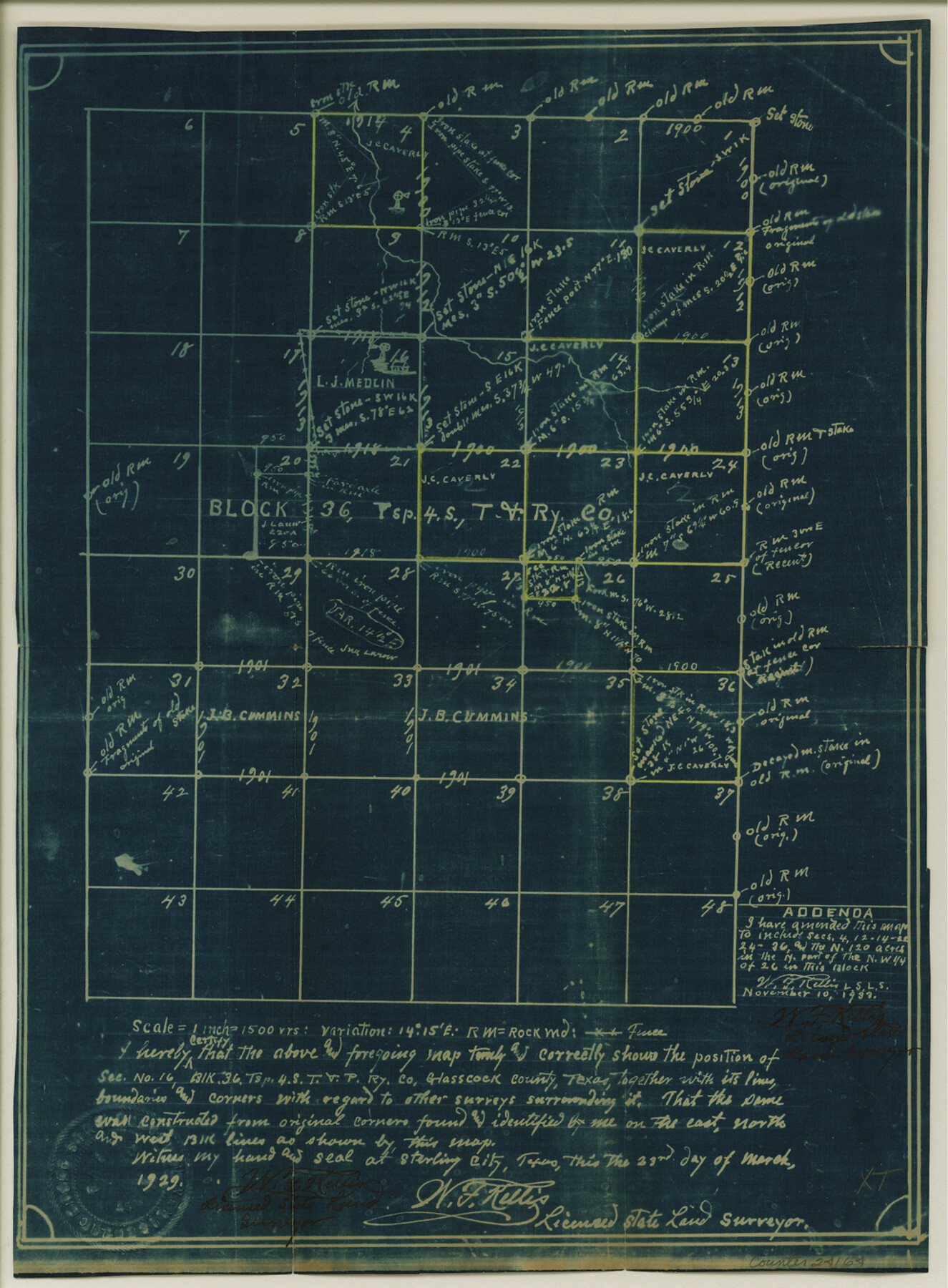
Glasscock County Sketch File 6
[Sketch of Block 36, Township 4S]
-
Map/Doc
24164
-
Collection
General Map Collection
-
Object Dates
1929/3/23 (Creation Date)
1933/11/16 (File Date)
-
People and Organizations
W.F. Kellis (Surveyor/Engineer)
-
Counties
Glasscock
-
Subjects
Surveying Sketch File
-
Height x Width
14.8 x 10.9 inches
37.6 x 27.7 cm
-
Medium
blueprint/diazo
-
Scale
1" = 1500 varas
Part of: General Map Collection
Callahan County Working Sketch 7

Print $20.00
- Digital $50.00
Callahan County Working Sketch 7
1955
Size 25.1 x 12.7 inches
Map/Doc 67889
Flight Mission No. DQO-1K, Frame 41, Galveston County

Print $20.00
- Digital $50.00
Flight Mission No. DQO-1K, Frame 41, Galveston County
1952
Size 18.8 x 22.5 inches
Map/Doc 84984


Cooke County Rolled Sketch 7

Print $20.00
- Digital $50.00
Cooke County Rolled Sketch 7
2002
Size 44.8 x 34.9 inches
Map/Doc 77525
Montgomery County Working Sketch 57

Print $20.00
- Digital $50.00
Montgomery County Working Sketch 57
1961
Size 24.2 x 26.6 inches
Map/Doc 71164
Cottle County Working Sketch 14B

Print $20.00
- Digital $50.00
Cottle County Working Sketch 14B
1963
Size 35.2 x 41.6 inches
Map/Doc 61795
Crockett County Rolled Sketch 51

Print $20.00
- Digital $50.00
Crockett County Rolled Sketch 51
1940
Size 17.1 x 26.6 inches
Map/Doc 5597
Caldwell County Working Sketch 4

Print $20.00
- Digital $50.00
Caldwell County Working Sketch 4
1922
Size 46.1 x 43.5 inches
Map/Doc 67834
Index for Texas Railroad ROW & track maps available on microfilm at THD & Archives and Records

Print $2.00
- Digital $50.00
Index for Texas Railroad ROW & track maps available on microfilm at THD & Archives and Records
1977
Size 11.1 x 8.6 inches
Map/Doc 60763
[Map of Nacogdoches County]
![93369, [Map of Nacogdoches County], General Map Collection](https://historictexasmaps.com/wmedia_w700/maps/93369-1.tif.jpg)
Print $40.00
- Digital $50.00
[Map of Nacogdoches County]
1840
Size 79.3 x 36.8 inches
Map/Doc 93369

You may also like
Hudspeth County Working Sketch 44

Print $20.00
- Digital $50.00
Hudspeth County Working Sketch 44
1982
Size 25.5 x 22.2 inches
Map/Doc 66329
Reagan County Working Sketch 12

Print $20.00
- Digital $50.00
Reagan County Working Sketch 12
1948
Size 24.1 x 44.9 inches
Map/Doc 71852
San Patricio County Working Sketch 8

Print $20.00
- Digital $50.00
San Patricio County Working Sketch 8
1936
Size 26.9 x 21.5 inches
Map/Doc 63770
Val Verde County Rolled Sketch 78

Print $20.00
- Digital $50.00
Val Verde County Rolled Sketch 78
1981
Size 42.9 x 29.6 inches
Map/Doc 8140
Hutchinson County Rolled Sketch 44-17

Print $20.00
- Digital $50.00
Hutchinson County Rolled Sketch 44-17
2002
Size 24.0 x 36.0 inches
Map/Doc 77553
Reagan County Sketch File 11

Print $20.00
- Digital $50.00
Reagan County Sketch File 11
1928
Size 26.7 x 22.2 inches
Map/Doc 12217
Hartley County

Print $40.00
- Digital $50.00
Hartley County
1923
Size 42.1 x 49.5 inches
Map/Doc 95524
Matagorda County Sketch File 35

Print $8.00
- Digital $50.00
Matagorda County Sketch File 35
1951
Size 11.1 x 8.8 inches
Map/Doc 30823
Cochran County Sketch [showing lines run by C. A. Tubbs]
![90435, Cochran County Sketch [showing lines run by C. A. Tubbs], Twichell Survey Records](https://historictexasmaps.com/wmedia_w700/maps/90435-1.tif.jpg)
Print $20.00
- Digital $50.00
Cochran County Sketch [showing lines run by C. A. Tubbs]
Size 10.0 x 23.8 inches
Map/Doc 90435
J.K Gill & Cos Map of Oregon

Print $20.00
- Digital $50.00
J.K Gill & Cos Map of Oregon
1882
Size 29.0 x 32.3 inches
Map/Doc 94055
Dimmit County Rolled Sketch 5

Print $20.00
- Digital $50.00
Dimmit County Rolled Sketch 5
1904
Size 42.7 x 18.2 inches
Map/Doc 5715
Uvalde County Working Sketch 54

Print $20.00
- Digital $50.00
Uvalde County Working Sketch 54
1983
Size 39.6 x 32.3 inches
Map/Doc 72124