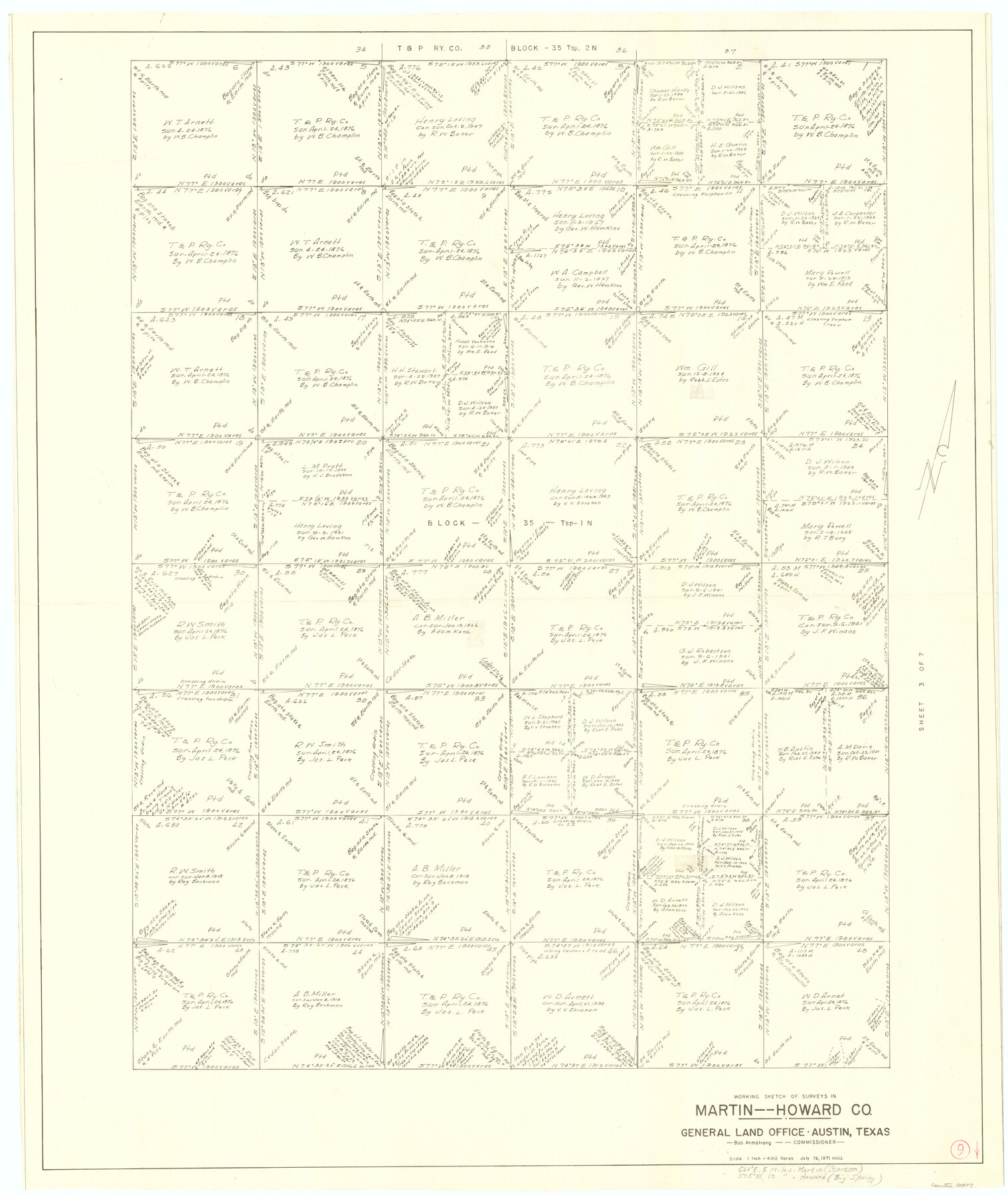
Martin County Working Sketch 9
-
Map/Doc
70827
-
Collection
General Map Collection
-
Object Dates
7/19/1971 (Creation Date)
-
People and Organizations
Herbert H. Ulbricht (Draftsman)
-
Counties
Martin Howard
-
Subjects
Surveying Working Sketch
-
Height x Width
45.2 x 38.1 inches
114.8 x 96.8 cm
-
Scale
1" = 400 varas
Part of: General Map Collection
Midland County Sketch File 11

Print $20.00
- Digital $50.00
Midland County Sketch File 11
1936
Size 21.6 x 17.5 inches
Map/Doc 12086
Andrews County Sketch File 8

Print $36.00
- Digital $50.00
Andrews County Sketch File 8
1943
Size 11.2 x 8.9 inches
Map/Doc 12831
Winkler County Working Sketch 17

Print $20.00
- Digital $50.00
Winkler County Working Sketch 17
1973
Size 36.5 x 36.7 inches
Map/Doc 72611
Freestone County Sketch File 3

Print $4.00
- Digital $50.00
Freestone County Sketch File 3
Size 8.0 x 12.7 inches
Map/Doc 23042
McLennan County Sketch File 14

Print $4.00
- Digital $50.00
McLennan County Sketch File 14
1872
Size 12.4 x 7.9 inches
Map/Doc 31272
Outer Continental Shelf Leasing Maps (Louisiana Offshore Operations)

Print $20.00
- Digital $50.00
Outer Continental Shelf Leasing Maps (Louisiana Offshore Operations)
1955
Size 16.2 x 13.0 inches
Map/Doc 76084
Hartley County Sketch File 14

Print $6.00
- Digital $50.00
Hartley County Sketch File 14
1926
Size 11.2 x 8.7 inches
Map/Doc 26110
El Paso County Working Sketch 52

Print $20.00
- Digital $50.00
El Paso County Working Sketch 52
1992
Size 29.1 x 16.1 inches
Map/Doc 69074
Karnes County Sketch File 7a

Print $4.00
- Digital $50.00
Karnes County Sketch File 7a
1873
Size 10.1 x 8.1 inches
Map/Doc 28563
Mason County Boundary File 3a

Print $12.00
- Digital $50.00
Mason County Boundary File 3a
Size 8.9 x 8.2 inches
Map/Doc 56846
Wharton County Sketch File 2

Print $40.00
- Digital $50.00
Wharton County Sketch File 2
1875
Size 13.6 x 12.6 inches
Map/Doc 39913
Falls County Working Sketch 2

Print $20.00
- Digital $50.00
Falls County Working Sketch 2
1922
Size 19.0 x 30.0 inches
Map/Doc 69177
You may also like
Fort Bend County Working Sketch 28

Print $20.00
- Digital $50.00
Fort Bend County Working Sketch 28
1982
Size 15.8 x 20.1 inches
Map/Doc 69234
Donley County Working Sketch 2

Print $20.00
- Digital $50.00
Donley County Working Sketch 2
1916
Size 15.2 x 17.1 inches
Map/Doc 68735
Controlled Mosaic by Jack Amman Photogrammetric Engineers, Inc - Sheet 29

Print $20.00
- Digital $50.00
Controlled Mosaic by Jack Amman Photogrammetric Engineers, Inc - Sheet 29
1954
Size 20.0 x 24.0 inches
Map/Doc 83482
Travis County

Print $40.00
- Digital $50.00
Travis County
1936
Size 45.6 x 55.8 inches
Map/Doc 63077
Garza County Rolled Sketch 6B

Print $20.00
- Digital $50.00
Garza County Rolled Sketch 6B
Size 27.6 x 36.4 inches
Map/Doc 5996
Terrell County Sketch File 28

Print $20.00
- Digital $50.00
Terrell County Sketch File 28
1939
Size 18.3 x 22.8 inches
Map/Doc 12425
Flight Mission No. DCL-7C, Frame 58, Kenedy County

Print $20.00
- Digital $50.00
Flight Mission No. DCL-7C, Frame 58, Kenedy County
1943
Size 15.3 x 15.1 inches
Map/Doc 86046
Reports of Wm. H. Bourland and James B. Miller, Commissioners to Investigate Land Titles West of the Nueces

Reports of Wm. H. Bourland and James B. Miller, Commissioners to Investigate Land Titles West of the Nueces
1850
Size 17.2 x 12.9 inches
Map/Doc 94259
Duval County Rolled Sketch 51

Print $20.00
- Digital $50.00
Duval County Rolled Sketch 51
Size 19.1 x 16.9 inches
Map/Doc 5765
General Highway Map. Detail of Cities and Towns in Jefferson County, Texas. City Map of Beaumont, Jefferson County, Texas

Print $20.00
General Highway Map. Detail of Cities and Towns in Jefferson County, Texas. City Map of Beaumont, Jefferson County, Texas
1961
Size 25.0 x 18.1 inches
Map/Doc 79539
[East Neches River]
![90420, [East Neches River], Twichell Survey Records](https://historictexasmaps.com/wmedia_w700/maps/90420-1.tif.jpg)
Print $20.00
- Digital $50.00
[East Neches River]
Size 25.8 x 29.3 inches
Map/Doc 90420
Sutton County Working Sketch 18

Print $20.00
- Digital $50.00
Sutton County Working Sketch 18
1978
Size 39.9 x 31.5 inches
Map/Doc 62361