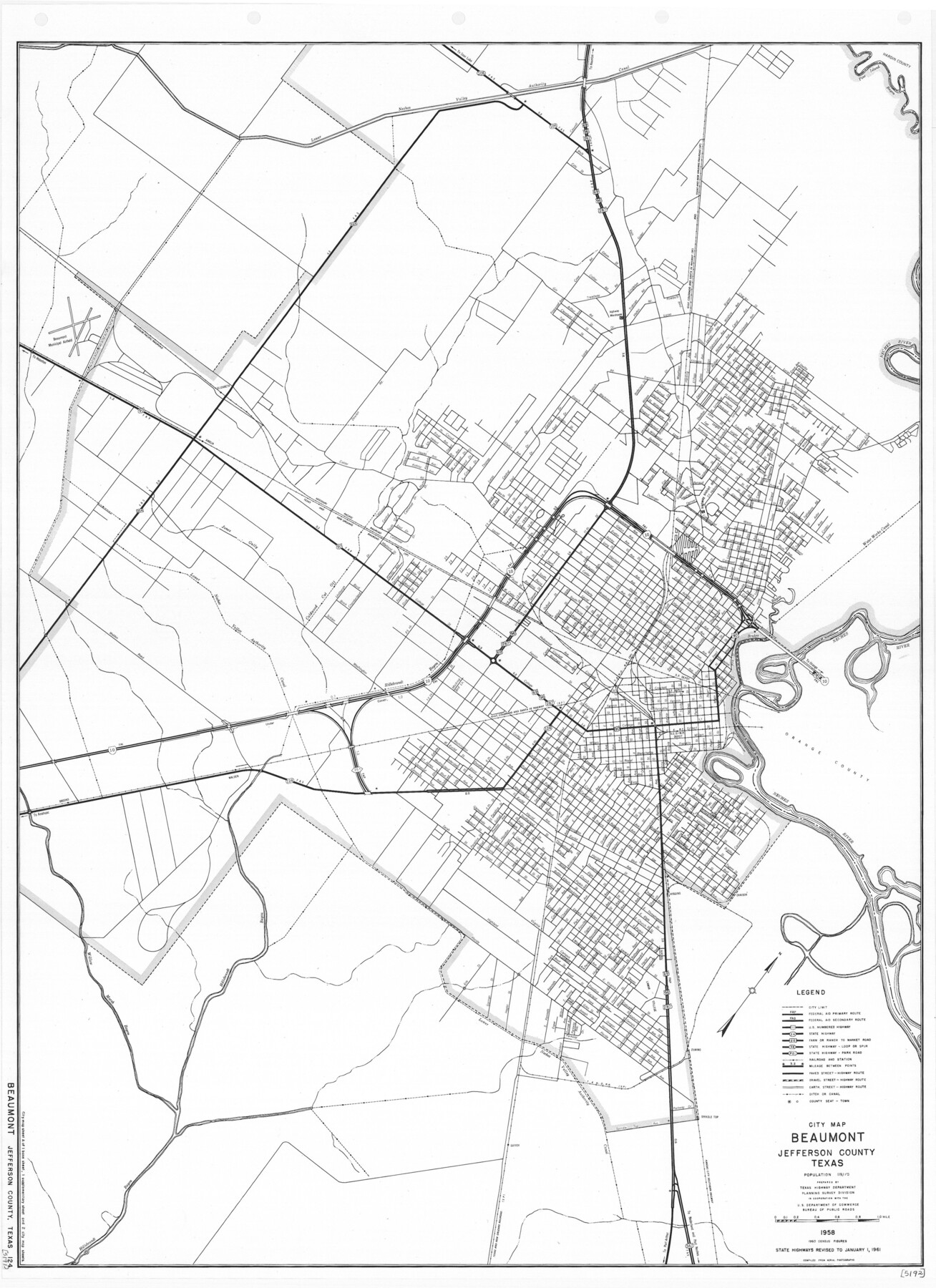
General Highway Map. Detail of Cities and Towns in Jefferson County, Texas. City Map of Beaumont, Jefferson County, Texas
-
Map/Doc
79539
-
Collection
Texas State Library and Archives
-
Object Dates
1961 (Creation Date)
-
People and Organizations
Texas State Highway Department (Publisher)
-
Counties
Jefferson
-
Subjects
City County
-
Height x Width
25.0 x 18.1 inches
63.5 x 46.0 cm
-
Comments
Prints available courtesy of the Texas State Library and Archives.
More info can be found here: TSLAC Map 05191
Part of: Texas State Library and Archives
General Highway Map, Upshur County, Gregg County, Texas

Print $20.00
General Highway Map, Upshur County, Gregg County, Texas
1939
Size 24.9 x 18.6 inches
Map/Doc 79105
General Highway Map, Brazoria County, Texas

Print $20.00
General Highway Map, Brazoria County, Texas
1939
Size 18.4 x 24.9 inches
Map/Doc 79025
Topographic Map of Big Bend Area

Print $20.00
Topographic Map of Big Bend Area
1923
Size 40.1 x 40.3 inches
Map/Doc 79759
General Highway Map, Wheeler County, Texas

Print $20.00
General Highway Map, Wheeler County, Texas
1961
Size 18.1 x 24.9 inches
Map/Doc 79708
General Highway Map, Young County, Texas

Print $20.00
General Highway Map, Young County, Texas
1940
Size 18.4 x 24.8 inches
Map/Doc 79286
General Highway Map. Detail of Cities and Towns in Tarrant County, Texas. City Map, Fort Worth and vicinity, Tarrant County, Texas

Print $20.00
General Highway Map. Detail of Cities and Towns in Tarrant County, Texas. City Map, Fort Worth and vicinity, Tarrant County, Texas
1961
Size 18.4 x 25.1 inches
Map/Doc 79666
Mapa de los Estados Unidos de Méjico, Segun lo organizado y definido por las varias actas del Congreso de dicha Republica: y construido por las mejores autoridades

Print $20.00
Mapa de los Estados Unidos de Méjico, Segun lo organizado y definido por las varias actas del Congreso de dicha Republica: y construido por las mejores autoridades
1847
Size 29.6 x 42.4 inches
Map/Doc 76221
New Map of the State of Texas compiled from the latest authorities

Print $20.00
New Map of the State of Texas compiled from the latest authorities
1877
Size 19.1 x 21.4 inches
Map/Doc 79300
General Highway Map, Wharton County, Texas

Print $20.00
General Highway Map, Wharton County, Texas
1961
Size 18.3 x 24.7 inches
Map/Doc 79706
General Highway Map, Goliad County, Texas

Print $20.00
General Highway Map, Goliad County, Texas
1961
Size 18.2 x 24.7 inches
Map/Doc 79481
Richardsons New Map of the State of Texas Including Part of Mexico Compiled from Government Surveys and other Authentic Documents

Print $20.00
Richardsons New Map of the State of Texas Including Part of Mexico Compiled from Government Surveys and other Authentic Documents
1860
Size 26.7 x 34.5 inches
Map/Doc 79735
General Highway Map, Jackson County, Texas

Print $20.00
General Highway Map, Jackson County, Texas
1940
Size 18.3 x 24.8 inches
Map/Doc 79140
You may also like
[T. & N. O. RR. Co and H. & T. C. RR. Co. Blocks]
![90430, [T. & N. O. RR. Co and H. & T. C. RR. Co. Blocks], Twichell Survey Records](https://historictexasmaps.com/wmedia_w700/maps/90430-1.tif.jpg)
Print $2.00
- Digital $50.00
[T. & N. O. RR. Co and H. & T. C. RR. Co. Blocks]
1924
Size 8.3 x 8.2 inches
Map/Doc 90430
Reeves County Rolled Sketch 21

Print $20.00
- Digital $50.00
Reeves County Rolled Sketch 21
1978
Size 27.6 x 27.6 inches
Map/Doc 7489
General Highway Map Supplementary Sheet Showing Detail of Cities and Towns in Bexar County Texas

Print $20.00
General Highway Map Supplementary Sheet Showing Detail of Cities and Towns in Bexar County Texas
1936
Size 18.5 x 25.0 inches
Map/Doc 76290
Cass County Working Sketch 12

Print $20.00
- Digital $50.00
Cass County Working Sketch 12
1942
Size 27.0 x 22.9 inches
Map/Doc 67915
Hutchinson County Working Sketch 6

Print $20.00
- Digital $50.00
Hutchinson County Working Sketch 6
1914
Size 20.2 x 29.0 inches
Map/Doc 66364
Maps of Gulf Intracoastal Waterway, Texas - Sabine River to the Rio Grande and connecting waterways including ship channels

Print $20.00
- Digital $50.00
Maps of Gulf Intracoastal Waterway, Texas - Sabine River to the Rio Grande and connecting waterways including ship channels
1966
Size 14.5 x 22.2 inches
Map/Doc 61919
Pecos County Working Sketch 40

Print $20.00
- Digital $50.00
Pecos County Working Sketch 40
1941
Size 29.9 x 39.7 inches
Map/Doc 71512
Culberson County Working Sketch 18

Print $20.00
- Digital $50.00
Culberson County Working Sketch 18
1928
Size 42.6 x 19.7 inches
Map/Doc 68470
Gordon Addition to Idalou

Print $20.00
- Digital $50.00
Gordon Addition to Idalou
1954
Size 22.6 x 10.8 inches
Map/Doc 92827
Houston County Sketch File 41

Print $6.00
- Digital $50.00
Houston County Sketch File 41
1845
Size 16.0 x 10.2 inches
Map/Doc 26828
Medina County Sketch File 11

Print $14.00
- Digital $50.00
Medina County Sketch File 11
1907
Size 10.4 x 6.6 inches
Map/Doc 31461
Starr County Working Sketch 1

Print $40.00
- Digital $50.00
Starr County Working Sketch 1
Size 26.7 x 65.5 inches
Map/Doc 63917