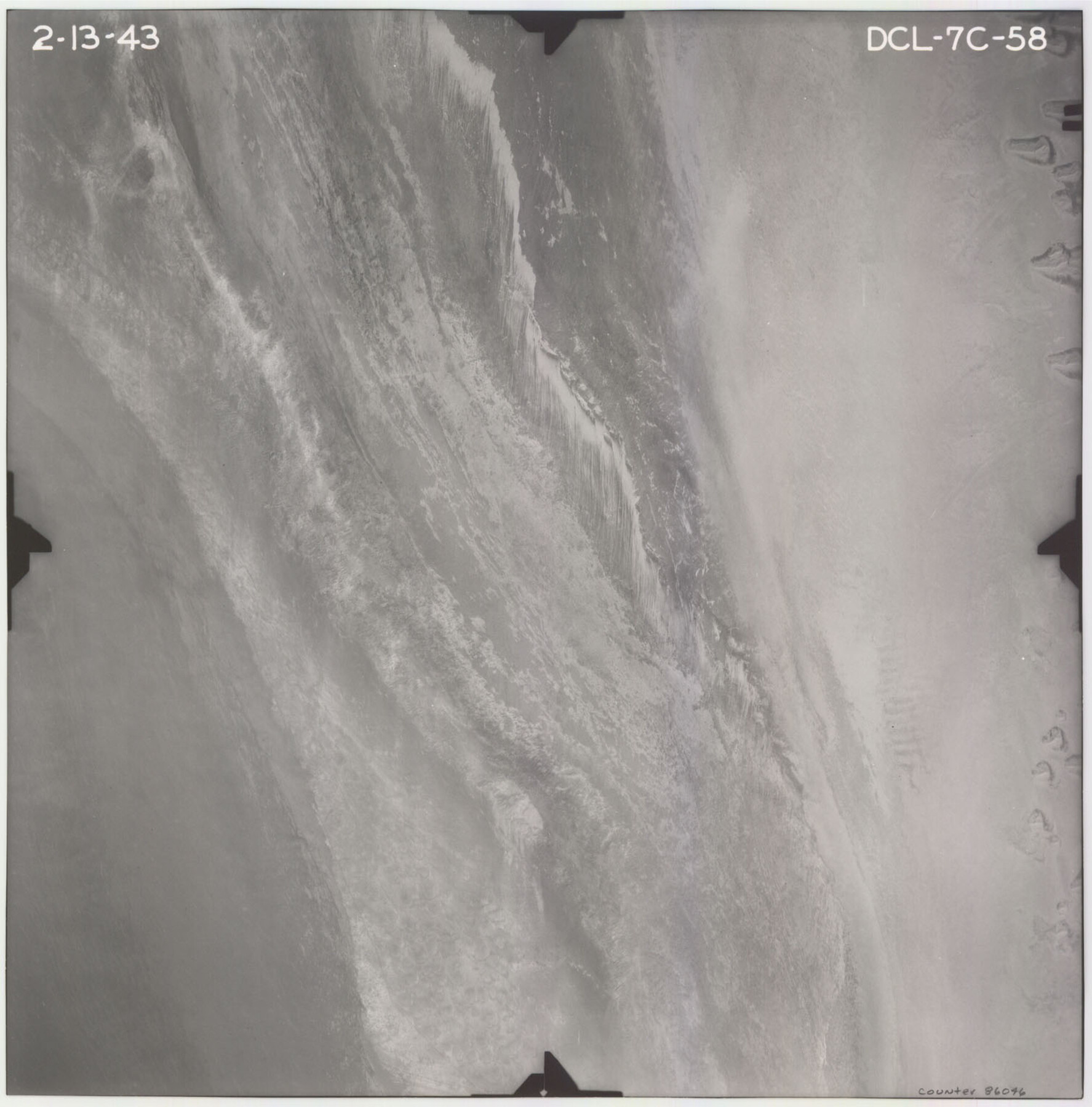
Flight Mission No. DCL-7C, Frame 58, Kenedy County
DCL-7C-58
-
Map/Doc
86046
-
Collection
General Map Collection
-
Object Dates
1943/2/13 (Creation Date)
-
People and Organizations
U. S. Department of Agriculture (Publisher)
-
Counties
Kenedy
-
Subjects
Aerial Photograph
-
Height x Width
15.3 x 15.1 inches
38.9 x 38.4 cm
-
Comments
Flown by Aerial Surveys of Pittsburgh, Inc. of Pittsburgh, Pennsylvania.
Part of: General Map Collection
Wichita County

Print $20.00
- Digital $50.00
Wichita County
1924
Size 32.1 x 39.1 inches
Map/Doc 16924
[Sketch for Mineral Application 26501 - Sabine River, T. A. Oldhausen]
![2847, [Sketch for Mineral Application 26501 - Sabine River, T. A. Oldhausen], General Map Collection](https://historictexasmaps.com/wmedia_w700/maps/2847.tif.jpg)
Print $20.00
- Digital $50.00
[Sketch for Mineral Application 26501 - Sabine River, T. A. Oldhausen]
1931
Size 24.7 x 37.1 inches
Map/Doc 2847
Flight Mission No. CRC-4R, Frame 163, Chambers County

Print $20.00
- Digital $50.00
Flight Mission No. CRC-4R, Frame 163, Chambers County
1956
Size 18.5 x 22.4 inches
Map/Doc 84922
United States - Gulf Coast - Galveston to Rio Grande

Print $20.00
- Digital $50.00
United States - Gulf Coast - Galveston to Rio Grande
1941
Size 27.0 x 18.2 inches
Map/Doc 72754
Gregg County Rolled Sketch 17

Print $20.00
- Digital $50.00
Gregg County Rolled Sketch 17
1933
Size 14.2 x 27.5 inches
Map/Doc 6041
Crockett County Rolled Sketch 88L

Print $20.00
- Digital $50.00
Crockett County Rolled Sketch 88L
1963
Size 19.0 x 24.6 inches
Map/Doc 5628
Flight Mission No. DCL-6C, Frame 92, Kenedy County

Print $20.00
- Digital $50.00
Flight Mission No. DCL-6C, Frame 92, Kenedy County
1943
Size 18.4 x 22.3 inches
Map/Doc 85922
Matagorda County NRC Article 33.136 Sketch 12

Print $32.00
- Digital $50.00
Matagorda County NRC Article 33.136 Sketch 12
2017
Size 22.0 x 34.0 inches
Map/Doc 94780
Upper Galveston Bay, Houston Ship Channel, Dollar Pt. to Atkinson I.

Print $40.00
- Digital $50.00
Upper Galveston Bay, Houston Ship Channel, Dollar Pt. to Atkinson I.
1971
Size 49.3 x 36.4 inches
Map/Doc 69894
Lamb County Rolled Sketch 3

Print $20.00
- Digital $50.00
Lamb County Rolled Sketch 3
1917
Size 23.0 x 42.5 inches
Map/Doc 9413
Flight Mission No. DQO-1K, Frame 93, Galveston County

Print $20.00
- Digital $50.00
Flight Mission No. DQO-1K, Frame 93, Galveston County
1952
Size 18.9 x 22.5 inches
Map/Doc 84989
San Patricio County Working Sketch 5

Print $20.00
- Digital $50.00
San Patricio County Working Sketch 5
1934
Size 31.6 x 35.9 inches
Map/Doc 63767
You may also like
Menard County Sketch File 4

Print $20.00
- Digital $50.00
Menard County Sketch File 4
Size 18.3 x 25.5 inches
Map/Doc 12072
Edwards County Working Sketch 40

Print $20.00
- Digital $50.00
Edwards County Working Sketch 40
1949
Size 19.8 x 18.6 inches
Map/Doc 68916
Caldwell County Working Sketch Graphic Index

Print $20.00
- Digital $50.00
Caldwell County Working Sketch Graphic Index
1935
Size 36.7 x 41.3 inches
Map/Doc 76483
Crosby County Sketch File 13a

Print $44.00
- Digital $50.00
Crosby County Sketch File 13a
1903
Size 8.8 x 4.5 inches
Map/Doc 20036
Hutchinson County Sketch File 41

Print $14.00
- Digital $50.00
Hutchinson County Sketch File 41
1955
Size 9.8 x 8.5 inches
Map/Doc 27298
Upshur County Working Sketch 10

Print $20.00
- Digital $50.00
Upshur County Working Sketch 10
1969
Size 42.1 x 37.0 inches
Map/Doc 69566
Brewster County Working Sketch 108

Print $20.00
- Digital $50.00
Brewster County Working Sketch 108
1981
Size 37.7 x 47.6 inches
Map/Doc 67708
General Highway Map, Galveston County, Texas

Print $20.00
General Highway Map, Galveston County, Texas
1939
Size 18.5 x 25.0 inches
Map/Doc 79096
The Republic County of Colorado. Spring 1842

Print $20.00
The Republic County of Colorado. Spring 1842
2020
Size 18.4 x 21.7 inches
Map/Doc 96126
Terrell County Rolled Sketch 30

Print $40.00
- Digital $50.00
Terrell County Rolled Sketch 30
1931
Size 38.9 x 49.0 inches
Map/Doc 10735
Lamar County Sketch File 1

Print $4.00
- Digital $50.00
Lamar County Sketch File 1
1849
Size 8.0 x 8.2 inches
Map/Doc 29271
Liberty County Rolled Sketch J

Print $20.00
- Digital $50.00
Liberty County Rolled Sketch J
1943
Size 29.1 x 38.0 inches
Map/Doc 10646