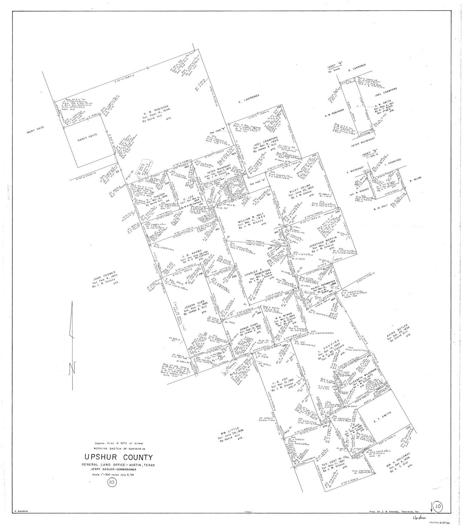
Upshur County Working Sketch 10
-
Map/Doc
69566
-
Collection
General Map Collection
-
Object Dates
7/8/1969 (Creation Date)
-
People and Organizations
Roy Buckholts (Draftsman)
-
Counties
Upshur
-
Subjects
Surveying Working Sketch
-
Height x Width
42.1 x 37.0 inches
106.9 x 94.0 cm
-
Scale
1" = 300 varas
Part of: General Map Collection
Nautical Chart 892-SC - Intracoastal Waterway - Carlos Bay to Redfish Bay including Copano Bay, Texas

Print $40.00
- Digital $50.00
Nautical Chart 892-SC - Intracoastal Waterway - Carlos Bay to Redfish Bay including Copano Bay, Texas
1972
Size 16.8 x 51.8 inches
Map/Doc 73440
Jefferson County Sketch File 8

Print $8.00
- Digital $50.00
Jefferson County Sketch File 8
Size 8.0 x 7.6 inches
Map/Doc 28116
Flight Mission No. DQO-8K, Frame 41, Galveston County

Print $20.00
- Digital $50.00
Flight Mission No. DQO-8K, Frame 41, Galveston County
1952
Size 18.7 x 22.3 inches
Map/Doc 85148
Fisher County Sketch File 19

Print $20.00
- Digital $50.00
Fisher County Sketch File 19
Size 18.8 x 15.7 inches
Map/Doc 11481
Edwards County Working Sketch 44

Print $20.00
- Digital $50.00
Edwards County Working Sketch 44
1950
Size 44.1 x 26.0 inches
Map/Doc 68920
Map of Cameron, Hidalgo and half of Starr County of Texas

Print $20.00
- Digital $50.00
Map of Cameron, Hidalgo and half of Starr County of Texas
1900
Size 42.4 x 30.3 inches
Map/Doc 3150
[Texas & Pacific Railway through Callahan County]
![64232, [Texas & Pacific Railway through Callahan County], General Map Collection](https://historictexasmaps.com/wmedia_w700/maps/64232.tif.jpg)
Print $20.00
- Digital $50.00
[Texas & Pacific Railway through Callahan County]
1918
Size 20.8 x 9.4 inches
Map/Doc 64232
Marion County Working Sketch 33

Print $20.00
- Digital $50.00
Marion County Working Sketch 33
1983
Size 16.0 x 20.7 inches
Map/Doc 70809
Burnet County Rolled Sketch D1

Print $20.00
- Digital $50.00
Burnet County Rolled Sketch D1
1924
Size 22.2 x 18.5 inches
Map/Doc 5358
Nueces River, Water Shed [of the Nueces River]
![65101, Nueces River, Water Shed [of the Nueces River], General Map Collection](https://historictexasmaps.com/wmedia_w700/maps/65101.tif.jpg)
Print $6.00
- Digital $50.00
Nueces River, Water Shed [of the Nueces River]
1925
Size 33.6 x 35.4 inches
Map/Doc 65101
Gregg County Working Sketch 10

Print $20.00
- Digital $50.00
Gregg County Working Sketch 10
1939
Size 34.1 x 26.4 inches
Map/Doc 63276
Flight Mission No. CRC-4R, Frame 93, Chambers County

Print $20.00
- Digital $50.00
Flight Mission No. CRC-4R, Frame 93, Chambers County
1956
Size 18.4 x 22.3 inches
Map/Doc 84890
You may also like
Flight Mission No. DAG-26K, Frame 58, Matagorda County

Print $20.00
- Digital $50.00
Flight Mission No. DAG-26K, Frame 58, Matagorda County
1953
Size 18.5 x 16.1 inches
Map/Doc 86578
Map of T. C. Spearman's Lands in Gaines, Terry and Yoakum Counties, Texas

Print $3.00
- Digital $50.00
Map of T. C. Spearman's Lands in Gaines, Terry and Yoakum Counties, Texas
1917
Size 12.4 x 10.2 inches
Map/Doc 92002
Concho County Sketch File 22

Print $20.00
- Digital $50.00
Concho County Sketch File 22
Size 24.9 x 18.1 inches
Map/Doc 11155
Tarrant's Key and Guide to Dallas

Print $3.00
- Digital $50.00
Tarrant's Key and Guide to Dallas
1922
Size 7.9 x 10.3 inches
Map/Doc 89275
Hood County Sketch File 17

Print $4.00
- Digital $50.00
Hood County Sketch File 17
1860
Size 8.2 x 9.4 inches
Map/Doc 26599
[Sketch showing parts of PSL Bloks Q, L, and P]
![89687, [Sketch showing parts of PSL Bloks Q, L, and P], Twichell Survey Records](https://historictexasmaps.com/wmedia_w700/maps/89687-1.tif.jpg)
Print $40.00
- Digital $50.00
[Sketch showing parts of PSL Bloks Q, L, and P]
Size 62.4 x 23.2 inches
Map/Doc 89687

Jack County Working Sketch 15

Print $20.00
- Digital $50.00
Jack County Working Sketch 15
1982
Size 30.6 x 25.9 inches
Map/Doc 66441
Chambers County Sketch File 41

Print $32.00
- Digital $50.00
Chambers County Sketch File 41
Size 14.7 x 9.1 inches
Map/Doc 17694


Bosque County

Print $20.00
- Digital $50.00
Bosque County
1945
Size 42.6 x 33.0 inches
Map/Doc 77215