158 results

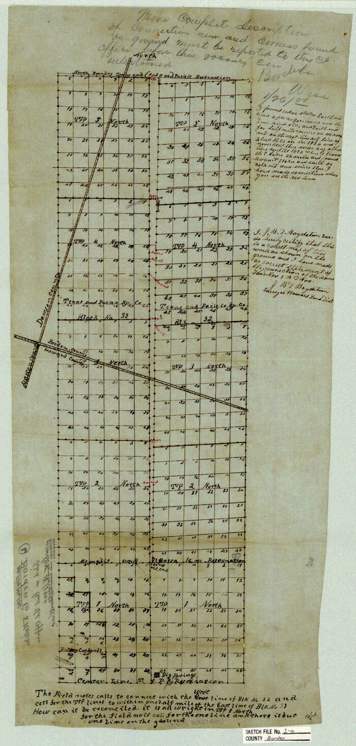
Borden County Sketch File 1a
10931, Borden County Sketch File 1a, General Map Collection
Print $40.00 - Digital $50.00

Borden County Sketch File 1a

1900
Size: 24.6 x 11.7 inches
10931
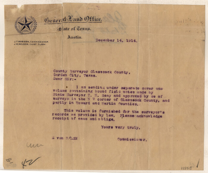
Glasscock County Sketch File 1
11558, Glasscock County Sketch File 1, General Map Collection
Print $46.00 - Digital $50.00

Glasscock County Sketch File 1

Size: 26.1 x 31.8 inches
11558
Howard County Sketch File 2a
11792, Howard County Sketch File 2a, General Map Collection
Print $20.00 - Digital $50.00

Howard County Sketch File 2a

1909

Size: 32.8 x 25.6 inches
11792
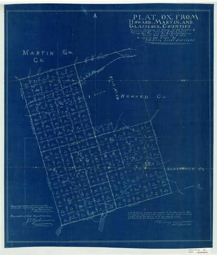
Howard County Sketch File 4
11793, Howard County Sketch File 4, General Map Collection
Print $20.00 - Digital $50.00

Howard County Sketch File 4

Size: 25.6 x 21.8 inches
11793
Howard County Sketch File 5
11794, Howard County Sketch File 5, General Map Collection
Print $3.00 - Digital $50.00

Howard County Sketch File 5

Size: 20.0 x 12.8 inches
11794
Howard County Sketch File 7
11795, Howard County Sketch File 7, General Map Collection
Print $20.00 - Digital $50.00

Howard County Sketch File 7

Size: 21.7 x 13.8 inches
11795
Howard County Sketch File 8
11796, Howard County Sketch File 8, General Map Collection
Print $3.00 - Digital $50.00

Howard County Sketch File 8

Size: 20.8 x 18.7 inches
11796
Howard County Sketch File 9
11797, Howard County Sketch File 9, General Map Collection
Print $20.00 - Digital $50.00

Howard County Sketch File 9

Size: 19.4 x 15.9 inches
11797
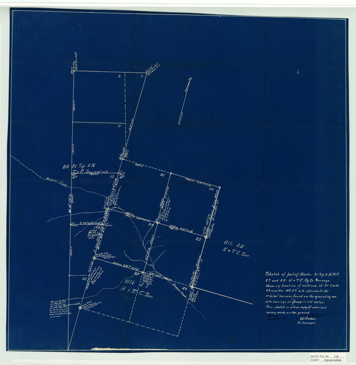
Howard County Sketch File 10
11798, Howard County Sketch File 10, General Map Collection
Print $20.00 - Digital $50.00

Howard County Sketch File 10

Size: 22.5 x 22.0 inches
11798
Howard County Sketch File 12
11799, Howard County Sketch File 12, General Map Collection
Print $20.00 - Digital $50.00

Howard County Sketch File 12

1939

Size: 18.2 x 15.7 inches
11799
Mitchell County Sketch File 12
12099, Mitchell County Sketch File 12, General Map Collection
Print $20.00 - Digital $50.00

Mitchell County Sketch File 12

1912

Size: 25.6 x 14.0 inches
12099
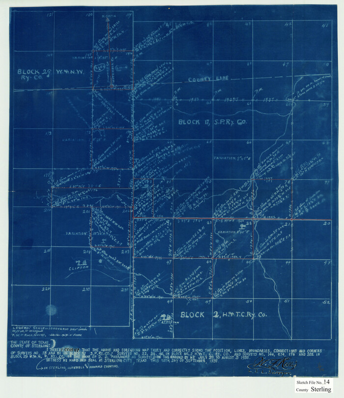
Sterling County Sketch File 14
12360, Sterling County Sketch File 14, General Map Collection
Print $20.00 - Digital $50.00

Sterling County Sketch File 14

Size: 18.9 x 16.4 inches
12360
Borden County Sketch File 3
14703, Borden County Sketch File 3, General Map Collection
Print $4.00 - Digital $50.00

Borden County Sketch File 3

1902

Size: 7.3 x 12.8 inches
14703
Borden County Boundary File 4
1694, Borden County Boundary File 4, General Map Collection
Print $66.00 - Digital $50.00

Borden County Boundary File 4

1908

Size: 23.7 x 125.7 inches
1694
Borden County Boundary File 6
1717, Borden County Boundary File 6, General Map Collection
Print $28.00 - Digital $50.00

Borden County Boundary File 6

1908

Size: 11.3 x 25.1 inches
1717
Howard County
1860.tif
Print $20.00 - Digital $50.00

Howard County

1922

Size: 43.4 x 37.4 inches
1860
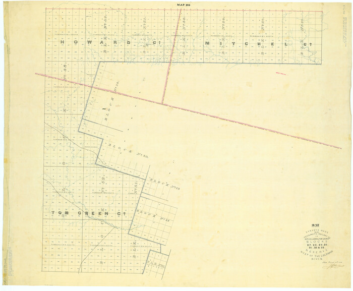
Map of Surveys Made for the T&PRRCo in Howard, Mitchell & Tom Green Counties, Blocks 27, 28, 29, 30, 31, 32 & 33, Reserve West of the Colorado
2228.tif
Print $40.00 - Digital $50.00

Map of Surveys Made for the T&PRRCo in Howard, Mitchell & Tom Green Counties, Blocks 27, 28, 29, 30, 31, 32 & 33, Reserve West of the Colorado

1876
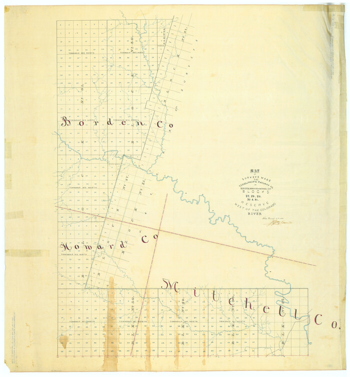
Size: 42.0 x 51.0 inches
2228
Map of Surveys Made for the T&PRR in Borden, Howard & Mitchell Counties, Blocks 27, 28, 29, 30 & 31, Reserve West of the Colorado
2230.tif
Print $20.00 - Digital $50.00

Map of Surveys Made for the T&PRR in Borden, Howard & Mitchell Counties, Blocks 27, 28, 29, 30 & 31, Reserve West of the Colorado

1876

Size: 42.8 x 39.7 inches
2230
Map of Surveys Made for the T&PRR in Borden, Dawson, Howard & Martin Counties, Blocks 32, 33, 34, 35 & 36, Reserve West of the Colorado
2231.tif
Print $20.00 - Digital $50.00

Map of Surveys Made for the T&PRR in Borden, Dawson, Howard & Martin Counties, Blocks 32, 33, 34, 35 & 36, Reserve West of the Colorado

1876
Size: 42.0 x 38.2 inches
2231
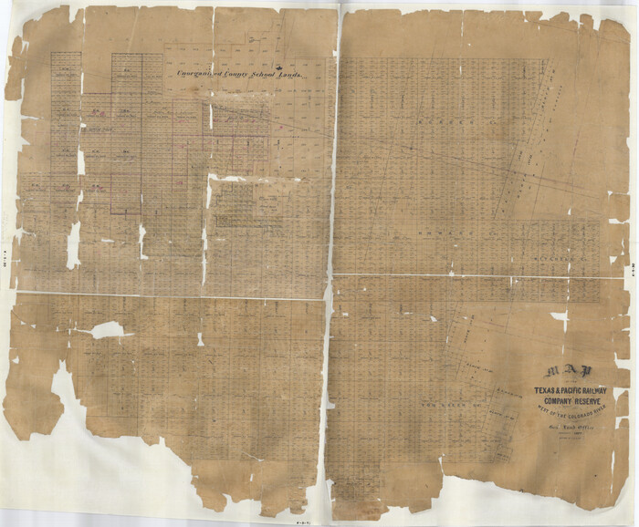
Map of the Texas & Pacific Railway Company Reserve west of the Colorado River
2233.tif
Print $40.00 - Digital $50.00

Map of the Texas & Pacific Railway Company Reserve west of the Colorado River

1877
Size: 48.9 x 59.2 inches
2233
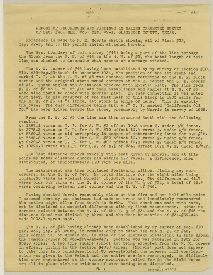
Glasscock County Sketch File 15
24182, Glasscock County Sketch File 15, General Map Collection
Print $8.00 - Digital $50.00

Glasscock County Sketch File 15

1935

Size: 11.3 x 8.8 inches
24182
Howard County Sketch File A
26837, Howard County Sketch File A, General Map Collection
Print $44.00 - Digital $50.00

Howard County Sketch File A

Size: 7.2 x 7.6 inches
26837
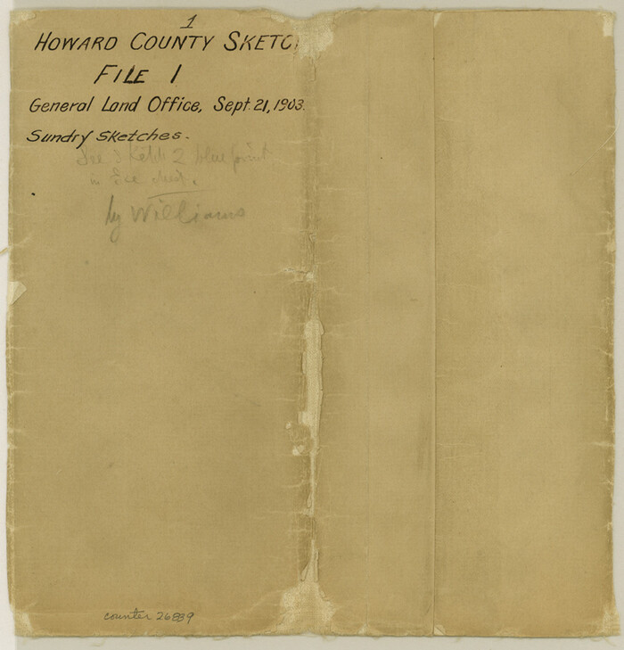
Howard County Sketch File 1
26839, Howard County Sketch File 1, General Map Collection
Print $34.00 - Digital $50.00

Howard County Sketch File 1

1903

Size: 8.9 x 8.6 inches
26839
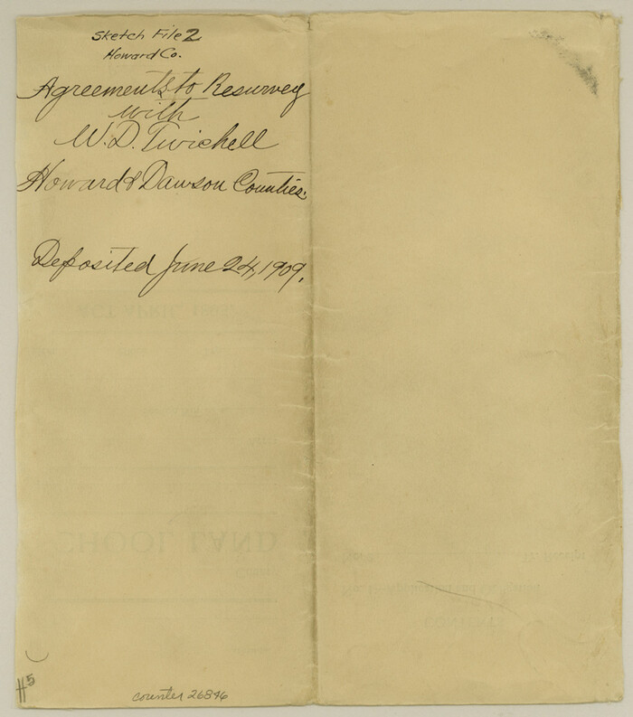
Howard County Sketch File 2
26846, Howard County Sketch File 2, General Map Collection
Print $18.00 - Digital $50.00

Howard County Sketch File 2

1909

Size: 9.3 x 8.2 inches
26846
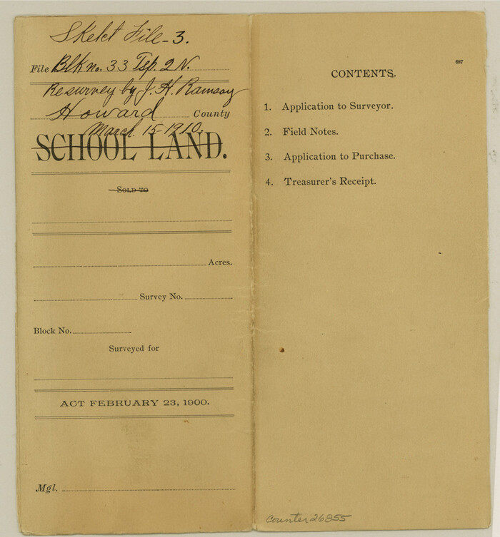
Howard County Sketch File 3
26855, Howard County Sketch File 3, General Map Collection
Print $12.00 - Digital $50.00

Howard County Sketch File 3

1909

Size: 9.0 x 8.3 inches
26855
Howard County Sketch File 6
26861, Howard County Sketch File 6, General Map Collection
Print $44.00 - Digital $50.00

Howard County Sketch File 6

1929

Size: 18.6 x 14.4 inches
26861
Howard County Sketch File 11
26865, Howard County Sketch File 11, General Map Collection
Print $40.00 - Digital $50.00

Howard County Sketch File 11

1937

Size: 17.6 x 10.2 inches
26865
Howard County Sketch File 13
26867, Howard County Sketch File 13, General Map Collection
Print $62.00 - Digital $50.00

Howard County Sketch File 13

1935

Size: 15.0 x 13.3 inches
26867
Howard County Sketch File 14
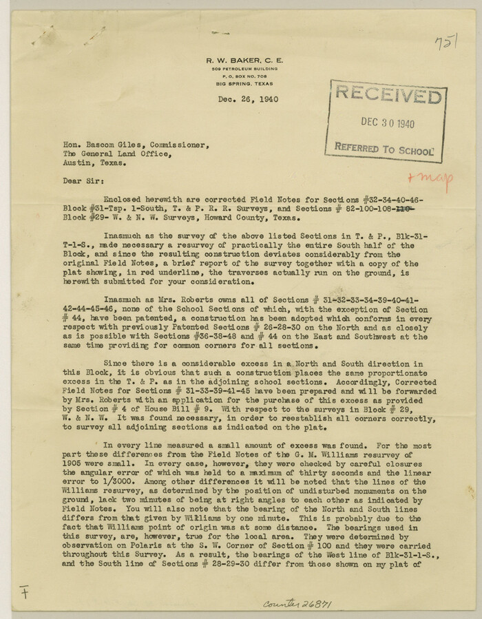
26871, Howard County Sketch File 14, General Map Collection
Print $8.00 - Digital $50.00

Howard County Sketch File 14

1940

Size: 11.3 x 8.8 inches
26871
Howard County Sketch File 15
26875, Howard County Sketch File 15, General Map Collection
Print $6.00 - Digital $50.00

Howard County Sketch File 15

Size: 11.2 x 8.8 inches
26875
Borden County Sketch File 1a
10931, Borden County Sketch File 1a, General Map Collection
Print $40.00 - Digital $50.00

Borden County Sketch File 1a

1900

  • Size

    24.6 x 11.7 inches

  • Map/Doc

    10931

  • Creation Date

    1900

Glasscock County Sketch File 1
11558, Glasscock County Sketch File 1, General Map Collection
Print $46.00 - Digital $50.00

Glasscock County Sketch File 1

  • Size

    26.1 x 31.8 inches

  • Map/Doc

    11558

Howard County Sketch File 2a
11792, Howard County Sketch File 2a, General Map Collection
Print $20.00 - Digital $50.00

Howard County Sketch File 2a

1909

  • Size

    32.8 x 25.6 inches

  • Map/Doc

    11792

  • Creation Date

    1909

Howard County Sketch File 4
11793, Howard County Sketch File 4, General Map Collection
Print $20.00 - Digital $50.00

Howard County Sketch File 4

  • Size

    25.6 x 21.8 inches

  • Map/Doc

    11793

Howard County Sketch File 5
11794, Howard County Sketch File 5, General Map Collection
Print $3.00 - Digital $50.00

Howard County Sketch File 5

  • Size

    20.0 x 12.8 inches

  • Map/Doc

    11794

Howard County Sketch File 7
11795, Howard County Sketch File 7, General Map Collection
Print $20.00 - Digital $50.00

Howard County Sketch File 7

  • Size

    21.7 x 13.8 inches

  • Map/Doc

    11795

Howard County Sketch File 8
11796, Howard County Sketch File 8, General Map Collection
Print $3.00 - Digital $50.00

Howard County Sketch File 8

  • Size

    20.8 x 18.7 inches

  • Map/Doc

    11796

Howard County Sketch File 9
11797, Howard County Sketch File 9, General Map Collection
Print $20.00 - Digital $50.00

Howard County Sketch File 9

  • Size

    19.4 x 15.9 inches

  • Map/Doc

    11797

Howard County Sketch File 10
11798, Howard County Sketch File 10, General Map Collection
Print $20.00 - Digital $50.00

Howard County Sketch File 10

  • Size

    22.5 x 22.0 inches

  • Map/Doc

    11798

Howard County Sketch File 12
11799, Howard County Sketch File 12, General Map Collection
Print $20.00 - Digital $50.00

Howard County Sketch File 12

1939

  • Size

    18.2 x 15.7 inches

  • Map/Doc

    11799

  • Creation Date

    1939

Mitchell County Sketch File 12
12099, Mitchell County Sketch File 12, General Map Collection
Print $20.00 - Digital $50.00

Mitchell County Sketch File 12

1912

  • Size

    25.6 x 14.0 inches

  • Map/Doc

    12099

  • Creation Date

    1912

Sterling County Sketch File 14
12360, Sterling County Sketch File 14, General Map Collection
Print $20.00 - Digital $50.00

Sterling County Sketch File 14

  • Size

    18.9 x 16.4 inches

  • Map/Doc

    12360

Borden County Sketch File 3
14703, Borden County Sketch File 3, General Map Collection
Print $4.00 - Digital $50.00

Borden County Sketch File 3

1902

  • Size

    7.3 x 12.8 inches

  • Map/Doc

    14703

  • Creation Date

    1902

Borden County Boundary File 4
1694, Borden County Boundary File 4, General Map Collection
Print $66.00 - Digital $50.00

Borden County Boundary File 4

1908

  • Size

    23.7 x 125.7 inches

  • Map/Doc

    1694

  • Creation Date

    1908

Borden County Boundary File 6
1717, Borden County Boundary File 6, General Map Collection
Print $28.00 - Digital $50.00

Borden County Boundary File 6

1908

  • Size

    11.3 x 25.1 inches

  • Map/Doc

    1717

  • Creation Date

    1908

Howard County
1860, Howard County, General Map Collection
Print $20.00 - Digital $50.00

Howard County

1922

  • Size

    43.4 x 37.4 inches

  • Map/Doc

    1860

  • Creation Date

    1922

Map of Surveys Made for the T&PRRCo in Howard, Mitchell & Tom Green Counties, Blocks 27, 28, 29, 30, 31, 32 & 33, Reserve West of the Colorado
2228, Map of Surveys Made for the T&PRRCo in Howard, Mitchell & Tom Green Counties, Blocks 27, 28, 29, 30, 31, 32 & 33, Reserve West of the Colorado, General Map Collection
Print $40.00 - Digital $50.00

Map of Surveys Made for the T&PRRCo in Howard, Mitchell & Tom Green Counties, Blocks 27, 28, 29, 30, 31, 32 & 33, Reserve West of the Colorado

1876

  • Size

    42.0 x 51.0 inches

  • Map/Doc

    2228

  • Creation Date

    1876

Map of Surveys Made for the T&PRR in Borden, Howard & Mitchell Counties, Blocks 27, 28, 29, 30 & 31, Reserve West of the Colorado
2230, Map of Surveys Made for the T&PRR in Borden, Howard & Mitchell Counties, Blocks 27, 28, 29, 30 & 31, Reserve West of the Colorado, General Map Collection
Print $20.00 - Digital $50.00

Map of Surveys Made for the T&PRR in Borden, Howard & Mitchell Counties, Blocks 27, 28, 29, 30 & 31, Reserve West of the Colorado

1876

  • Size

    42.8 x 39.7 inches

  • Map/Doc

    2230

  • Creation Date

    1876

Map of Surveys Made for the T&PRR in Borden, Dawson, Howard & Martin Counties, Blocks 32, 33, 34, 35 & 36, Reserve West of the Colorado
2231, Map of Surveys Made for the T&PRR in Borden, Dawson, Howard & Martin Counties, Blocks 32, 33, 34, 35 & 36, Reserve West of the Colorado, General Map Collection
Print $20.00 - Digital $50.00

Map of Surveys Made for the T&PRR in Borden, Dawson, Howard & Martin Counties, Blocks 32, 33, 34, 35 & 36, Reserve West of the Colorado

1876

  • Size

    42.0 x 38.2 inches

  • Map/Doc

    2231

  • Creation Date

    1876

Map of the Texas & Pacific Railway Company Reserve west of the Colorado River
2233, Map of the Texas & Pacific Railway Company Reserve west of the Colorado River, General Map Collection
Print $40.00 - Digital $50.00

Map of the Texas & Pacific Railway Company Reserve west of the Colorado River

1877

  • Size

    48.9 x 59.2 inches

  • Map/Doc

    2233

  • Creation Date

    1877

Glasscock County Sketch File 15
24182, Glasscock County Sketch File 15, General Map Collection
Print $8.00 - Digital $50.00

Glasscock County Sketch File 15

1935

  • Size

    11.3 x 8.8 inches

  • Map/Doc

    24182

  • Creation Date

    1935

Howard County Sketch File A
26837, Howard County Sketch File A, General Map Collection
Print $44.00 - Digital $50.00

Howard County Sketch File A

  • Size

    7.2 x 7.6 inches

  • Map/Doc

    26837

Howard County Sketch File 1
26839, Howard County Sketch File 1, General Map Collection
Print $34.00 - Digital $50.00

Howard County Sketch File 1

1903

  • Size

    8.9 x 8.6 inches

  • Map/Doc

    26839

  • Creation Date

    1903

Howard County Sketch File 2
26846, Howard County Sketch File 2, General Map Collection
Print $18.00 - Digital $50.00

Howard County Sketch File 2

1909

  • Size

    9.3 x 8.2 inches

  • Map/Doc

    26846

  • Creation Date

    1909

Howard County Sketch File 3
26855, Howard County Sketch File 3, General Map Collection
Print $12.00 - Digital $50.00

Howard County Sketch File 3

1909

  • Size

    9.0 x 8.3 inches

  • Map/Doc

    26855

  • Creation Date

    1909

Howard County Sketch File 6
26861, Howard County Sketch File 6, General Map Collection
Print $44.00 - Digital $50.00

Howard County Sketch File 6

1929

  • Size

    18.6 x 14.4 inches

  • Map/Doc

    26861

  • Creation Date

    1929

Howard County Sketch File 11
26865, Howard County Sketch File 11, General Map Collection
Print $40.00 - Digital $50.00

Howard County Sketch File 11

1937

  • Size

    17.6 x 10.2 inches

  • Map/Doc

    26865

  • Creation Date

    1937

Howard County Sketch File 13
26867, Howard County Sketch File 13, General Map Collection
Print $62.00 - Digital $50.00

Howard County Sketch File 13

1935

  • Size

    15.0 x 13.3 inches

  • Map/Doc

    26867

  • Creation Date

    1935

Howard County Sketch File 14
26871, Howard County Sketch File 14, General Map Collection
Print $8.00 - Digital $50.00

Howard County Sketch File 14

1940

  • Size

    11.3 x 8.8 inches

  • Map/Doc

    26871

  • Creation Date

    1940

Howard County Sketch File 15
26875, Howard County Sketch File 15, General Map Collection
Print $6.00 - Digital $50.00

Howard County Sketch File 15

  • Size

    11.2 x 8.8 inches

  • Map/Doc

    26875