A true copy of Peck's field book No. 7 pages 50 to 55, except classfication of lands


Print $40.00
- Digital $50.00
A true copy of Peck's field book No. 7 pages 50 to 55, except classfication of lands
Size: 6.1 x 54.3 inches
89666
A true copy of Peck's field book pages 56 to 63 except classification of lands


Print $40.00
- Digital $50.00
A true copy of Peck's field book pages 56 to 63 except classification of lands
Size: 6.3 x 69.2 inches
89716
Andrews County Rolled Sketch 42


Print $20.00
- Digital $50.00
Andrews County Rolled Sketch 42
Size: 27.3 x 36.0 inches
77182
Borden County Boundary File 4


Print $66.00
- Digital $50.00
Borden County Boundary File 4
1908
Size: 23.7 x 125.7 inches
1694
Borden County Boundary File 6


Print $28.00
- Digital $50.00
Borden County Boundary File 6
1908
Size: 11.3 x 25.1 inches
1717
Borden County Rolled Sketch 10


Print $40.00
- Digital $50.00
Borden County Rolled Sketch 10
1952
Size: 110.6 x 29.8 inches
8449
Borden County Rolled Sketch 3
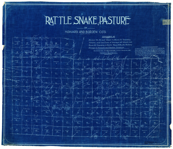

Print $20.00
- Digital $50.00
Borden County Rolled Sketch 3
1908
Size: 29.0 x 33.6 inches
5155
Borden County Rolled Sketch 9


Print $40.00
- Digital $50.00
Borden County Rolled Sketch 9
1951
Size: 114.7 x 29.6 inches
8448
Borden County Sketch File 1a
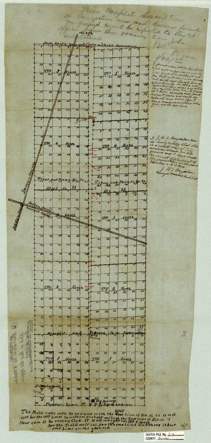

Print $40.00
- Digital $50.00
Borden County Sketch File 1a
1900
Size: 24.6 x 11.7 inches
10931
Borden County Sketch File 3


Print $4.00
- Digital $50.00
Borden County Sketch File 3
1902
Size: 7.3 x 12.8 inches
14703
Borden County Working Sketch 8


Print $20.00
- Digital $50.00
Borden County Working Sketch 8
1951
Size: 24.7 x 34.4 inches
67468
Counties of Martin, Dawson, Borden, Howard, Texas, Soash Lands, Big Spring Ranch
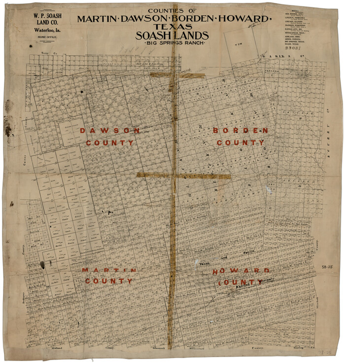

Print $20.00
- Digital $50.00
Counties of Martin, Dawson, Borden, Howard, Texas, Soash Lands, Big Spring Ranch
Size: 34.7 x 36.9 inches
93006
Counties of Martin, Dawson, Borden, and Howard, Texas Soash Lands, Big Springs Ranch


Print $20.00
- Digital $50.00
Counties of Martin, Dawson, Borden, and Howard, Texas Soash Lands, Big Springs Ranch
Size: 35.3 x 39.0 inches
91224
Dawson County Rolled Sketch 10
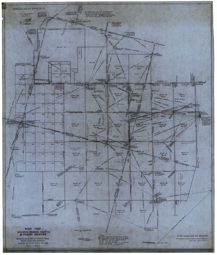

Print $20.00
- Digital $50.00
Dawson County Rolled Sketch 10
1954
Size: 44.5 x 37.9 inches
8774
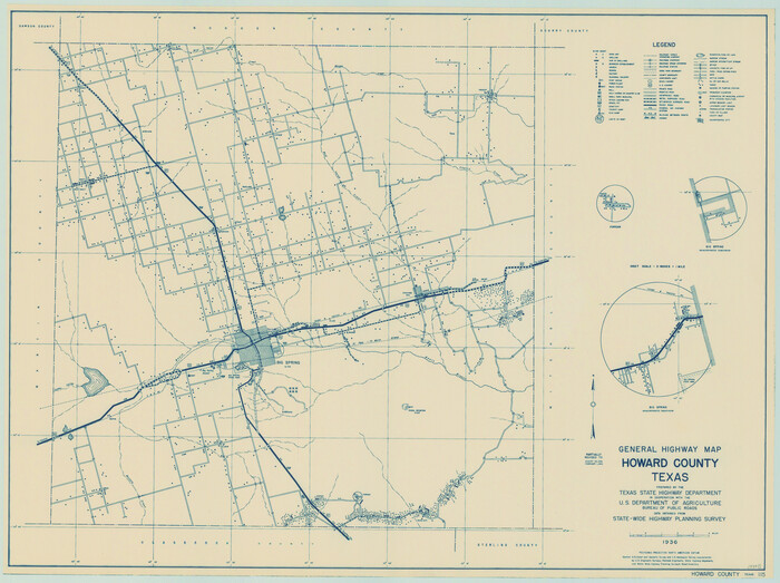
General Highway Map, Howard County, Texas

Print $20.00
General Highway Map, Howard County, Texas
1940
Size: 18.5 x 24.7 inches
79134
General Highway Map, Howard County, Texas


Print $20.00
General Highway Map, Howard County, Texas
1961
Size: 18.1 x 24.6 inches
79526
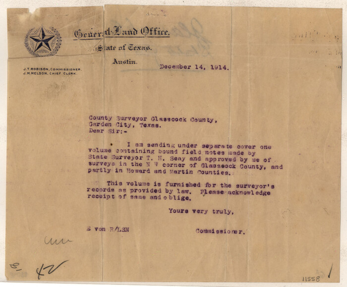
Glasscock County Sketch File 1

Print $46.00
- Digital $50.00
Glasscock County Sketch File 1
Size: 26.1 x 31.8 inches
11558
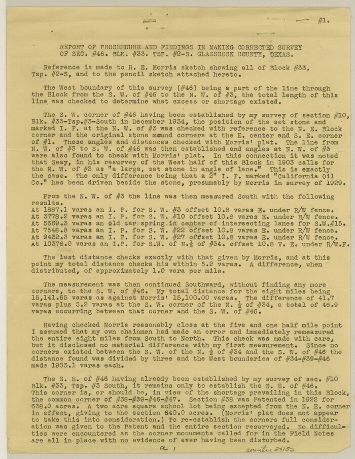
Glasscock County Sketch File 15

Print $8.00
- Digital $50.00
Glasscock County Sketch File 15
1935
Size: 11.3 x 8.8 inches
24182
Howard County Boundary File 1


Print $51.00
- Digital $50.00
Howard County Boundary File 1
Size: 14.4 x 8.8 inches
55086
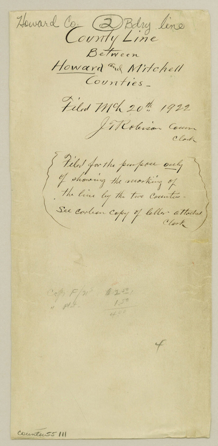
Howard County Boundary File 2

Print $14.00
- Digital $50.00
Howard County Boundary File 2
Size: 9.4 x 4.6 inches
55111
Howard County Boundary File 2a


Print $9.00
- Digital $50.00
Howard County Boundary File 2a
Size: 14.6 x 11.3 inches
55118
A true copy of Peck's field book No. 7 pages 50 to 55, except classfication of lands


Print $40.00
- Digital $50.00
A true copy of Peck's field book No. 7 pages 50 to 55, except classfication of lands
-
Size
6.1 x 54.3 inches
-
Map/Doc
89666
A true copy of Peck's field book pages 56 to 63 except classification of lands


Print $40.00
- Digital $50.00
A true copy of Peck's field book pages 56 to 63 except classification of lands
-
Size
6.3 x 69.2 inches
-
Map/Doc
89716
Andrews County Rolled Sketch 42


Print $20.00
- Digital $50.00
Andrews County Rolled Sketch 42
-
Size
27.3 x 36.0 inches
-
Map/Doc
77182
Borden County Boundary File 4


Print $66.00
- Digital $50.00
Borden County Boundary File 4
1908
-
Size
23.7 x 125.7 inches
-
Map/Doc
1694
-
Creation Date
1908
Borden County Boundary File 6


Print $28.00
- Digital $50.00
Borden County Boundary File 6
1908
-
Size
11.3 x 25.1 inches
-
Map/Doc
1717
-
Creation Date
1908
Borden County Rolled Sketch 10


Print $40.00
- Digital $50.00
Borden County Rolled Sketch 10
1952
-
Size
110.6 x 29.8 inches
-
Map/Doc
8449
-
Creation Date
1952
Borden County Rolled Sketch 3


Print $20.00
- Digital $50.00
Borden County Rolled Sketch 3
1908
-
Size
29.0 x 33.6 inches
-
Map/Doc
5155
-
Creation Date
1908
Borden County Rolled Sketch 9


Print $40.00
- Digital $50.00
Borden County Rolled Sketch 9
1951
-
Size
114.7 x 29.6 inches
-
Map/Doc
8448
-
Creation Date
1951
Borden County Sketch File 1a


Print $40.00
- Digital $50.00
Borden County Sketch File 1a
1900
-
Size
24.6 x 11.7 inches
-
Map/Doc
10931
-
Creation Date
1900
Borden County Sketch File 3


Print $4.00
- Digital $50.00
Borden County Sketch File 3
1902
-
Size
7.3 x 12.8 inches
-
Map/Doc
14703
-
Creation Date
1902
Borden County Working Sketch 8


Print $20.00
- Digital $50.00
Borden County Working Sketch 8
1951
-
Size
24.7 x 34.4 inches
-
Map/Doc
67468
-
Creation Date
1951
Counties of Martin, Dawson, Borden, Howard, Texas, Soash Lands, Big Spring Ranch


Print $20.00
- Digital $50.00
Counties of Martin, Dawson, Borden, Howard, Texas, Soash Lands, Big Spring Ranch
-
Size
34.7 x 36.9 inches
-
Map/Doc
93006
Counties of Martin, Dawson, Borden, and Howard, Texas Soash Lands, Big Springs Ranch


Print $20.00
- Digital $50.00
Counties of Martin, Dawson, Borden, and Howard, Texas Soash Lands, Big Springs Ranch
-
Size
35.3 x 39.0 inches
-
Map/Doc
91224
Dawson County Rolled Sketch 10


Print $20.00
- Digital $50.00
Dawson County Rolled Sketch 10
1954
-
Size
44.5 x 37.9 inches
-
Map/Doc
8774
-
Creation Date
1954
General Highway Map, Howard County, Texas


Print $20.00
General Highway Map, Howard County, Texas
1940
-
Size
18.5 x 24.7 inches
-
Map/Doc
79134
-
Creation Date
1940
General Highway Map, Howard County, Texas


Print $20.00
General Highway Map, Howard County, Texas
1961
-
Size
18.1 x 24.6 inches
-
Map/Doc
79526
-
Creation Date
1961
Glasscock County Sketch File 1


Print $46.00
- Digital $50.00
Glasscock County Sketch File 1
-
Size
26.1 x 31.8 inches
-
Map/Doc
11558
Glasscock County Sketch File 15


Print $8.00
- Digital $50.00
Glasscock County Sketch File 15
1935
-
Size
11.3 x 8.8 inches
-
Map/Doc
24182
-
Creation Date
1935
Howard County


Print $20.00
- Digital $50.00
Howard County
1922
-
Size
43.4 x 37.4 inches
-
Map/Doc
1860
-
Creation Date
1922
Howard County
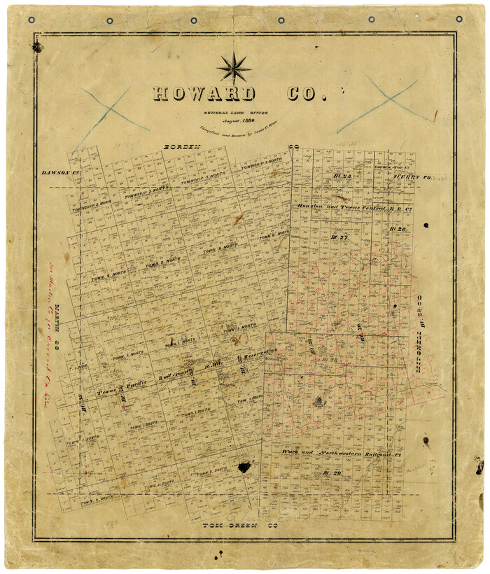

Print $20.00
- Digital $50.00
Howard County
1880
-
Size
26.5 x 22.6 inches
-
Map/Doc
3686
-
Creation Date
1880
Howard County
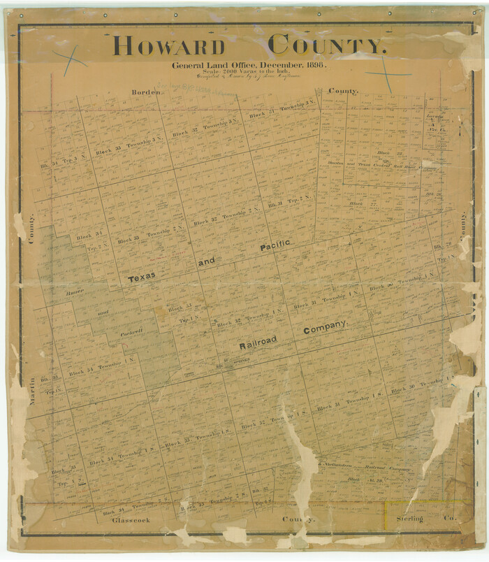

Print $20.00
- Digital $50.00
Howard County
1898
-
Size
41.0 x 35.7 inches
-
Map/Doc
4689
-
Creation Date
1898
Howard County


Print $20.00
- Digital $50.00
Howard County
1898
-
Size
39.8 x 36.2 inches
-
Map/Doc
4983
-
Creation Date
1898
Howard County


Print $20.00
- Digital $50.00
Howard County
1922
-
Size
44.0 x 37.5 inches
-
Map/Doc
66872
-
Creation Date
1922
Howard County


Print $20.00
- Digital $50.00
Howard County
1922
-
Size
41.3 x 35.2 inches
-
Map/Doc
73185
-
Creation Date
1922
Howard County


Print $20.00
- Digital $50.00
Howard County
1922
-
Size
40.3 x 34.6 inches
-
Map/Doc
77318
-
Creation Date
1922
Howard County
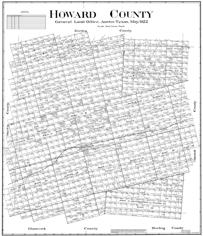

Print $20.00
- Digital $50.00
Howard County
1922
-
Size
42.3 x 36.2 inches
-
Map/Doc
95535
-
Creation Date
1922
Howard County Boundary File 1


Print $51.00
- Digital $50.00
Howard County Boundary File 1
-
Size
14.4 x 8.8 inches
-
Map/Doc
55086
Howard County Boundary File 2


Print $14.00
- Digital $50.00
Howard County Boundary File 2
-
Size
9.4 x 4.6 inches
-
Map/Doc
55111
Howard County Boundary File 2a


Print $9.00
- Digital $50.00
Howard County Boundary File 2a
-
Size
14.6 x 11.3 inches
-
Map/Doc
55118
