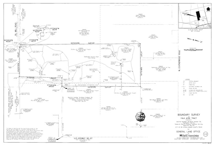
Howard County State Real Property Sketch 1
2007

Howard County Working Sketch 13
1983
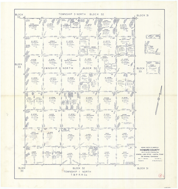
Howard County Working Sketch 12
1980
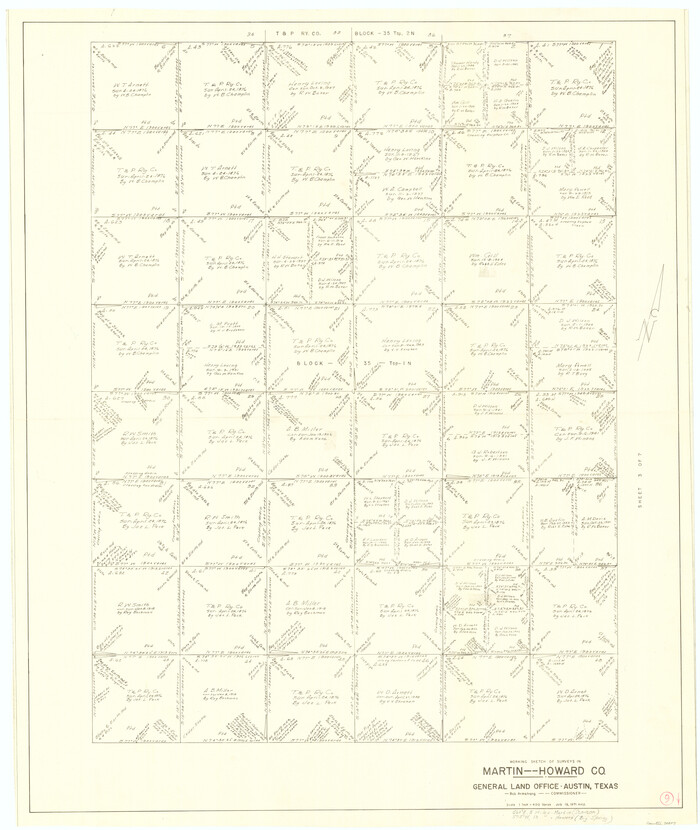
Martin County Working Sketch 9
1971
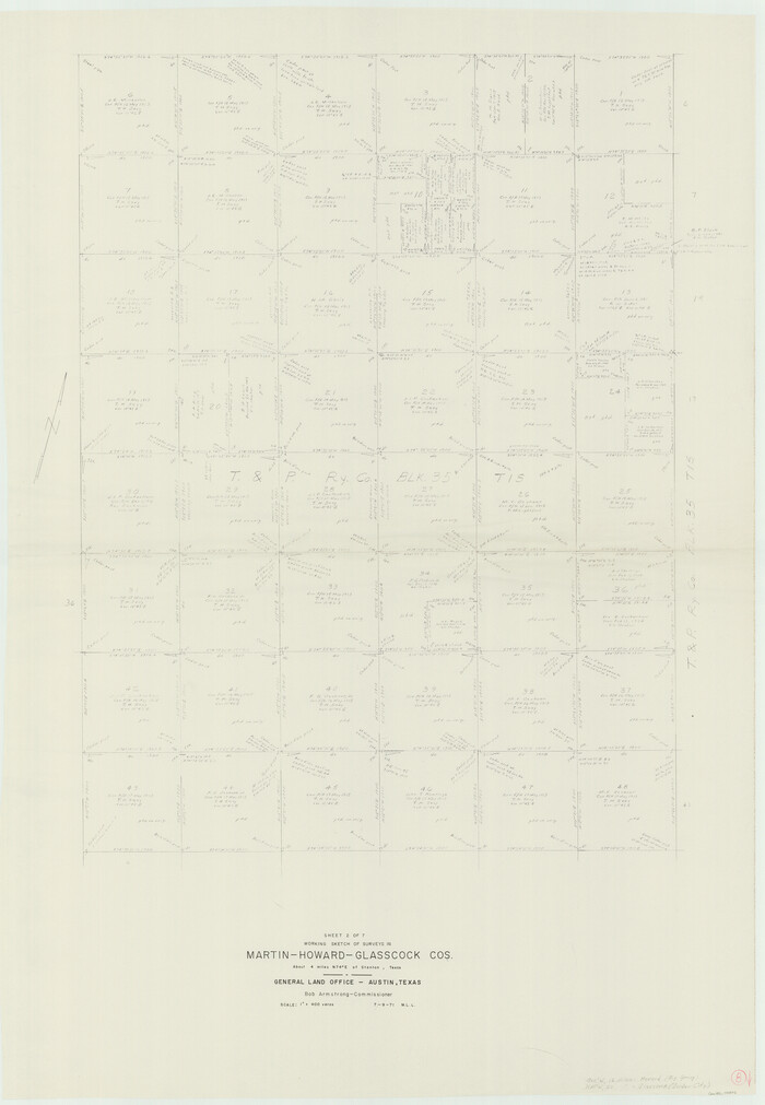
Martin County Working Sketch 8
1971

Howard County Working Sketch 11
1962

Howard County Working Sketch 10
1962
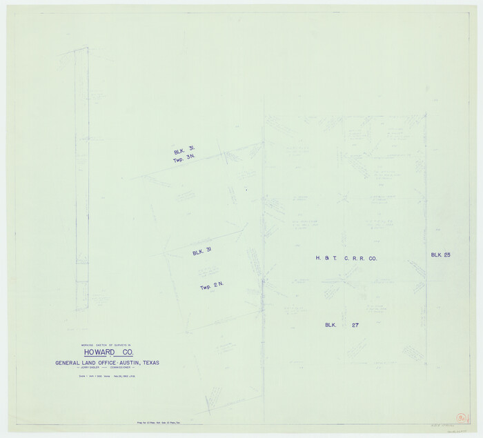
Howard County Working Sketch 9b
1962
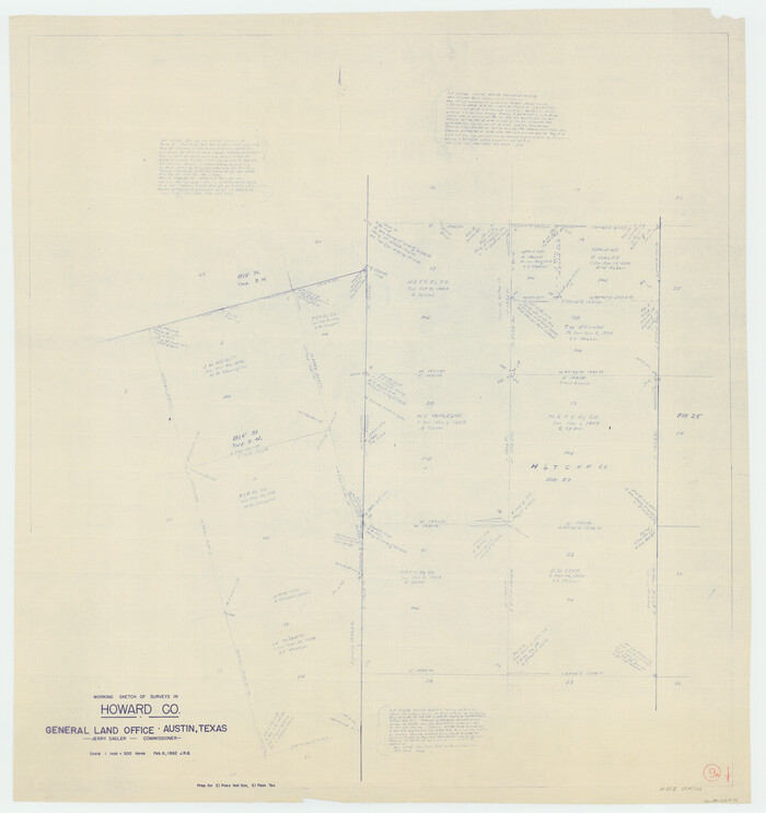
Howard County Working Sketch 9a
1962

General Highway Map, Howard County, Texas
1961

Howard County Working Sketch 8
1956
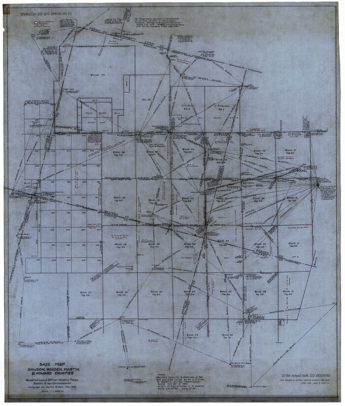
Dawson County Rolled Sketch 10
1954

Thomas Ross Survey
1954

Borden County Rolled Sketch 10
1952

Borden County Rolled Sketch 9
1951

Borden County Working Sketch 8
1951

Howard County Working Sketch 7b
1950

Howard County Working Sketch 7a
1950

Howard County Rolled Sketch 12A
1948

North Half, Harris County, Texas - Ownership Map with Well Data
1948

Howard County Sketch File 16
1947

Howard County Working Sketch 6
1946

Martin County Working Sketch 2
1944

Howard County Working Sketch 5
1944
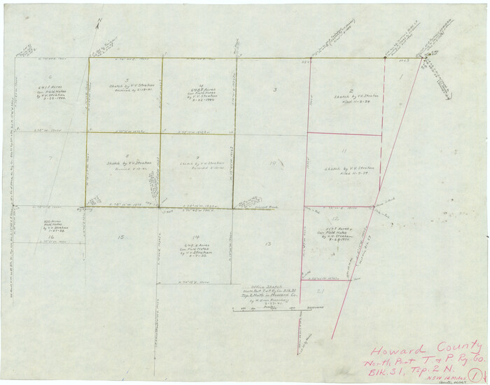
Howard County Working Sketch 1
1941
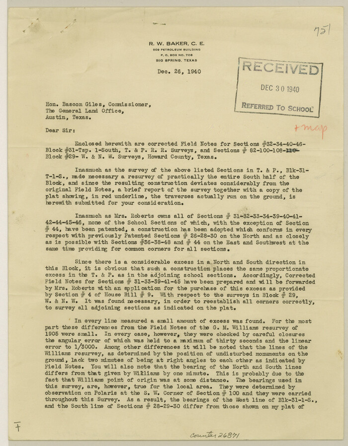
Howard County Sketch File 14
1940
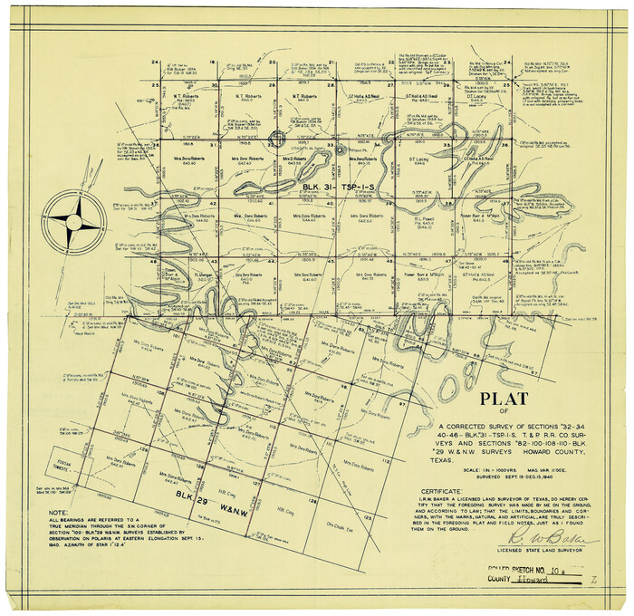
Howard County Rolled Sketch 10A
1940
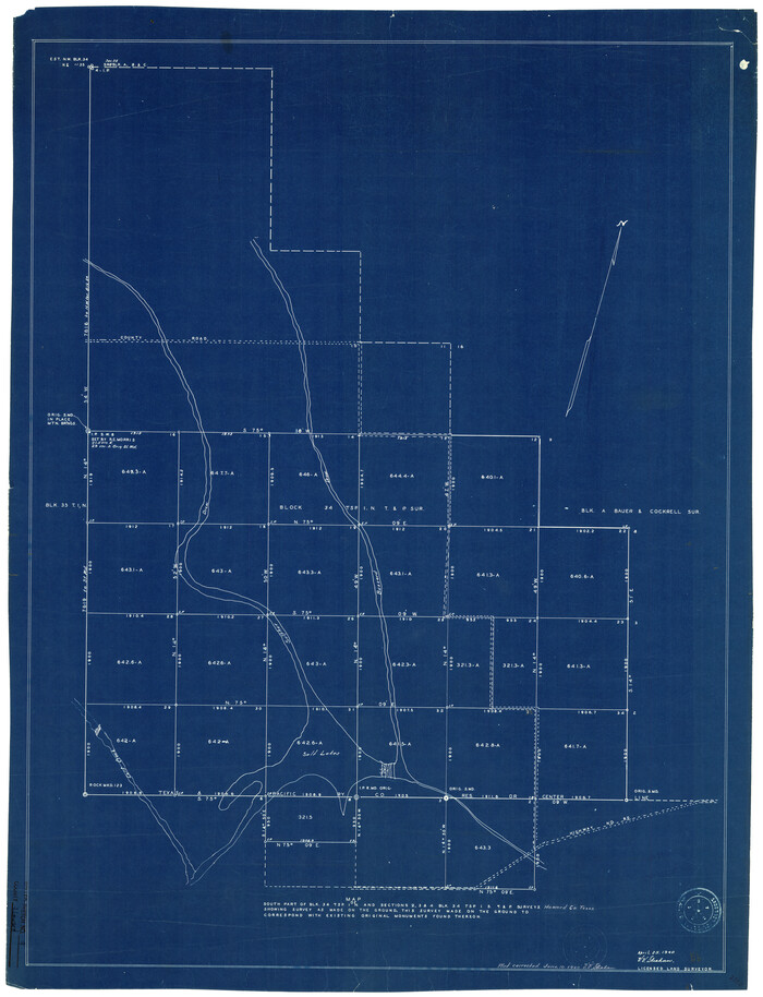
Howard County Rolled Sketch 9
1940
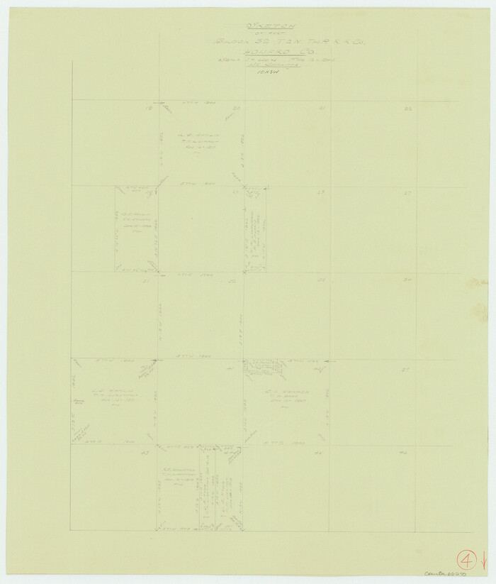
Howard County Working Sketch 4
1940
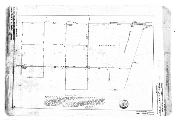
Howard County Rolled Sketch 11
1940

Howard County State Real Property Sketch 1
2007
-
Size
24.3 x 35.2 inches
-
Map/Doc
88673
-
Creation Date
2007

Howard County Working Sketch 13
1983
-
Size
33.3 x 37.3 inches
-
Map/Doc
66281
-
Creation Date
1983

Howard County Working Sketch 12
1980
-
Size
39.2 x 37.0 inches
-
Map/Doc
66280
-
Creation Date
1980

Martin County Working Sketch 9
1971
-
Size
45.2 x 38.1 inches
-
Map/Doc
70827
-
Creation Date
1971

Martin County Working Sketch 8
1971
-
Size
53.1 x 36.8 inches
-
Map/Doc
70826
-
Creation Date
1971

Howard County Working Sketch 11
1962
-
Size
20.5 x 20.3 inches
-
Map/Doc
66279
-
Creation Date
1962

Howard County Working Sketch 10
1962
-
Size
24.4 x 26.1 inches
-
Map/Doc
66278
-
Creation Date
1962

Howard County Working Sketch 9b
1962
-
Size
33.9 x 37.4 inches
-
Map/Doc
66277
-
Creation Date
1962

Howard County Working Sketch 9a
1962
-
Size
34.8 x 32.8 inches
-
Map/Doc
66276
-
Creation Date
1962

General Highway Map, Howard County, Texas
1961
-
Size
18.1 x 24.6 inches
-
Map/Doc
79526
-
Creation Date
1961

Howard County Working Sketch 8
1956
-
Size
25.3 x 31.3 inches
-
Map/Doc
66275
-
Creation Date
1956

Dawson County Rolled Sketch 10
1954
-
Size
44.5 x 37.9 inches
-
Map/Doc
8774
-
Creation Date
1954

Thomas Ross Survey
1954
-
Size
16.8 x 17.6 inches
-
Map/Doc
92181
-
Creation Date
1954

Borden County Rolled Sketch 10
1952
-
Size
110.6 x 29.8 inches
-
Map/Doc
8449
-
Creation Date
1952

Borden County Rolled Sketch 9
1951
-
Size
114.7 x 29.6 inches
-
Map/Doc
8448
-
Creation Date
1951

Borden County Working Sketch 8
1951
-
Size
24.7 x 34.4 inches
-
Map/Doc
67468
-
Creation Date
1951

Howard County Working Sketch 7b
1950
-
Size
83.3 x 25.6 inches
-
Map/Doc
66274
-
Creation Date
1950

Howard County Working Sketch 7a
1950
-
Size
81.9 x 24.7 inches
-
Map/Doc
66273
-
Creation Date
1950

Howard County Rolled Sketch 12A
1948
-
Size
23.3 x 13.9 inches
-
Map/Doc
6244
-
Creation Date
1948

North Half, Harris County, Texas - Ownership Map with Well Data
1948
-
Size
121.9 x 44.3 inches
-
Map/Doc
93206
-
Creation Date
1948

Howard County Sketch File 16
1947
-
Size
19.7 x 9.0 inches
-
Map/Doc
26878
-
Creation Date
1947

Howard County Working Sketch 6
1946
-
Size
17.3 x 19.5 inches
-
Map/Doc
66272
-
Creation Date
1946

Martin County Working Sketch 2
1944
-
Size
27.5 x 20.9 inches
-
Map/Doc
70820
-
Creation Date
1944

Howard County Working Sketch 5
1944
-
Size
23.9 x 32.8 inches
-
Map/Doc
66271
-
Creation Date
1944

Howard County Working Sketch 1
1941
-
Size
19.7 x 25.1 inches
-
Map/Doc
66267
-
Creation Date
1941

Howard County Sketch File 14
1940
-
Size
11.3 x 8.8 inches
-
Map/Doc
26871
-
Creation Date
1940

Howard County Rolled Sketch 10A
1940
-
Size
19.9 x 20.4 inches
-
Map/Doc
6241
-
Creation Date
1940

Howard County Rolled Sketch 9
1940
-
Size
35.2 x 26.9 inches
-
Map/Doc
6239
-
Creation Date
1940

Howard County Working Sketch 4
1940
-
Size
21.5 x 18.3 inches
-
Map/Doc
66270
-
Creation Date
1940

Howard County Rolled Sketch 11
1940
-
Size
21.4 x 30.1 inches
-
Map/Doc
6242
-
Creation Date
1940