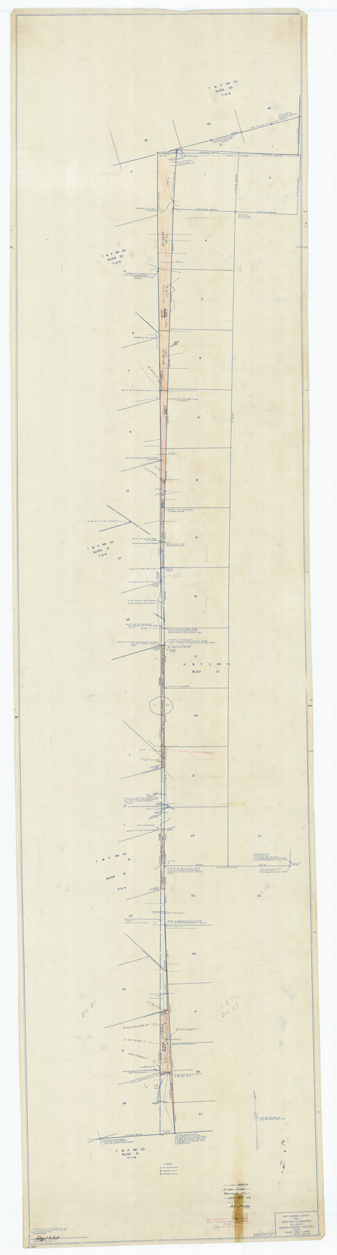
Borden County Rolled Sketch 10
Map showing survey for Chester V. Crawford, M.A. 43573
-
Map/Doc
8449
-
Collection
General Map Collection
-
Object Dates
1952/12/29 (Creation Date)
1953/1/12 (File Date)
-
People and Organizations
Clifford C. Cool (Surveyor/Engineer)
-
Counties
Borden Howard
-
Subjects
Surveying Rolled Sketch
-
Height x Width
110.6 x 29.8 inches
280.9 x 75.7 cm
-
Medium
blueprint/diazo
Part of: General Map Collection
Denton County Working Sketch 3

Print $20.00
- Digital $50.00
Denton County Working Sketch 3
1935
Size 24.6 x 36.4 inches
Map/Doc 68608
Cass County Sketch File 7

Print $4.00
- Digital $50.00
Cass County Sketch File 7
1853
Size 8.0 x 12.6 inches
Map/Doc 17408
Cameron County NRC Article 33.136 Location Key Sheet

Print $20.00
- Digital $50.00
Cameron County NRC Article 33.136 Location Key Sheet
1983
Size 27.0 x 23.0 inches
Map/Doc 89294
Calhoun County Working Sketch Graphic Index

Print $40.00
- Digital $50.00
Calhoun County Working Sketch Graphic Index
1948
Size 48.2 x 40.1 inches
Map/Doc 76484
Liberty County Sketch File 54

Print $54.00
- Digital $50.00
Liberty County Sketch File 54
1889
Size 14.3 x 8.7 inches
Map/Doc 30022
Harrison County

Print $20.00
- Digital $50.00
Harrison County
1920
Size 43.8 x 40.8 inches
Map/Doc 95523
Bell County Sketch File 8

Print $4.00
- Digital $50.00
Bell County Sketch File 8
1852
Size 14.2 x 8.9 inches
Map/Doc 14377
[Surveys in the Liberty District]
![162, [Surveys in the Liberty District], General Map Collection](https://historictexasmaps.com/wmedia_w700/maps/162.tif.jpg)
Print $2.00
- Digital $50.00
[Surveys in the Liberty District]
1841
Size 7.6 x 10.3 inches
Map/Doc 162
Harrison County Working Sketch 3

Print $20.00
- Digital $50.00
Harrison County Working Sketch 3
1942
Size 43.8 x 19.0 inches
Map/Doc 66023
Culberson County Rolled Sketch 55

Print $20.00
- Digital $50.00
Culberson County Rolled Sketch 55
1971
Size 22.6 x 17.4 inches
Map/Doc 5676
[Surveys possibly in Austin County]
![78356, [Surveys possibly in Austin County], General Map Collection](https://historictexasmaps.com/wmedia_w700/maps/78356.tif.jpg)
Print $3.00
- Digital $50.00
[Surveys possibly in Austin County]
Size 17.0 x 9.6 inches
Map/Doc 78356
Kenedy County Working Sketch 1

Print $20.00
- Digital $50.00
Kenedy County Working Sketch 1
Size 31.1 x 22.0 inches
Map/Doc 70002
You may also like
Hood County Working Sketch 21

Print $20.00
- Digital $50.00
Hood County Working Sketch 21
1991
Size 28.4 x 24.9 inches
Map/Doc 66215
Runnels County Sketch File 21

Print $5.00
Runnels County Sketch File 21
Size 11.7 x 15.6 inches
Map/Doc 35488
Fannin County Sketch File 18

Print $20.00
- Digital $50.00
Fannin County Sketch File 18
1879
Size 16.7 x 22.2 inches
Map/Doc 11472
Flight Mission No. DQN-2K, Frame 5, Calhoun County

Print $20.00
- Digital $50.00
Flight Mission No. DQN-2K, Frame 5, Calhoun County
1953
Size 18.5 x 22.2 inches
Map/Doc 84222
Anderson County Working Sketch 43

Print $20.00
- Digital $50.00
Anderson County Working Sketch 43
1988
Size 37.2 x 33.9 inches
Map/Doc 67043
Midland County Working Sketch 15

Print $20.00
- Digital $50.00
Midland County Working Sketch 15
1953
Size 27.2 x 28.6 inches
Map/Doc 70995
Webb County Sketch File 59

Print $8.00
- Digital $50.00
Webb County Sketch File 59
1943
Size 14.4 x 9.0 inches
Map/Doc 39851
Flight Mission No. CGI-3N, Frame 174, Cameron County

Print $20.00
- Digital $50.00
Flight Mission No. CGI-3N, Frame 174, Cameron County
1954
Size 18.5 x 22.1 inches
Map/Doc 84638
Hunt County Sketch File 11

Print $4.00
- Digital $50.00
Hunt County Sketch File 11
1860
Size 12.1 x 7.6 inches
Map/Doc 27102
Cottle County Rolled Sketch D

Print $20.00
- Digital $50.00
Cottle County Rolled Sketch D
1898
Size 29.0 x 20.4 inches
Map/Doc 5572
Brewster County Rolled Sketch 141

Print $20.00
- Digital $50.00
Brewster County Rolled Sketch 141
1983
Size 27.4 x 28.6 inches
Map/Doc 5309
Harris County Sketch File 73

Print $6.00
- Digital $50.00
Harris County Sketch File 73
1942
Size 11.3 x 8.9 inches
Map/Doc 25539