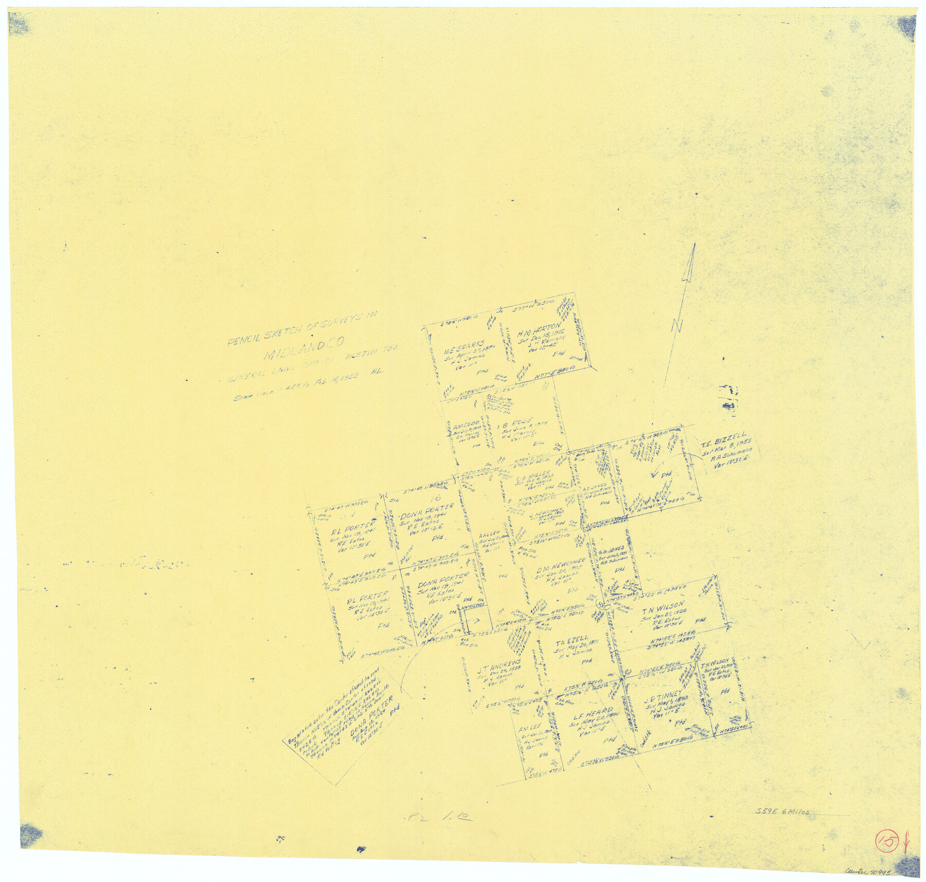
Midland County Working Sketch 15
-
Map/Doc
70995
-
Collection
General Map Collection
-
Object Dates
2/10/1953 (Creation Date)
-
Counties
Midland
-
Subjects
Surveying Working Sketch
-
Height x Width
27.2 x 28.6 inches
69.1 x 72.6 cm
-
Scale
1" = 400 varas
Part of: General Map Collection
Aransas County Rolled Sketch 1

Print $40.00
- Digital $50.00
Aransas County Rolled Sketch 1
1930
Size 54.3 x 17.0 inches
Map/Doc 8914
Coast Chart No. 211 - Padre I. and Laguna Madre, Lat. 27° 12' to Lat. 26° 33', Texas

Print $20.00
- Digital $50.00
Coast Chart No. 211 - Padre I. and Laguna Madre, Lat. 27° 12' to Lat. 26° 33', Texas
1890
Size 40.1 x 33.7 inches
Map/Doc 73500
Upton County Rolled Sketch 56

Print $158.00
- Digital $50.00
Upton County Rolled Sketch 56
1934
Size 10.0 x 15.1 inches
Map/Doc 49413
Brewster County Sketch File N-27

Print $40.00
- Digital $50.00
Brewster County Sketch File N-27
Size 16.0 x 17.9 inches
Map/Doc 10972
Jeff Davis County Sketch File 31

Print $34.00
- Digital $50.00
Jeff Davis County Sketch File 31
Size 10.6 x 8.4 inches
Map/Doc 28023
Tarrant's Key and Guide to Dallas

Print $3.00
- Digital $50.00
Tarrant's Key and Guide to Dallas
1922
Size 7.9 x 10.4 inches
Map/Doc 89257
Oldham County Boundary File 1d

Print $68.00
- Digital $50.00
Oldham County Boundary File 1d
Size 14.0 x 8.5 inches
Map/Doc 57759
Flight Mission No. CGI-4N, Frame 26, Cameron County

Print $20.00
- Digital $50.00
Flight Mission No. CGI-4N, Frame 26, Cameron County
1954
Size 18.8 x 22.3 inches
Map/Doc 84659
Garza County Sketch File X

Print $22.00
- Digital $50.00
Garza County Sketch File X
Size 17.1 x 12.3 inches
Map/Doc 24042
Crockett County Sketch File 6

Print $20.00
- Digital $50.00
Crockett County Sketch File 6
1877
Size 22.2 x 17.2 inches
Map/Doc 3457
Matagorda County Sketch File 33

Print $6.00
- Digital $50.00
Matagorda County Sketch File 33
1938
Size 14.2 x 8.8 inches
Map/Doc 30817
Childress County Rolled Sketch 10

Print $20.00
- Digital $50.00
Childress County Rolled Sketch 10
1940
Size 43.6 x 12.0 inches
Map/Doc 8601
You may also like
Flight Mission No. BRA-8M, Frame 114, Jefferson County

Print $20.00
- Digital $50.00
Flight Mission No. BRA-8M, Frame 114, Jefferson County
1953
Size 18.6 x 22.2 inches
Map/Doc 85610
Bow compass with ruling pen attachment

Bow compass with ruling pen attachment
Size 6.5 x 3.3 inches
Map/Doc 97316
Rockwall County Boundary File 52a

Print $22.00
- Digital $50.00
Rockwall County Boundary File 52a
Size 12.9 x 8.3 inches
Map/Doc 58461
Colorado County Sketch File 8

Print $4.00
- Digital $50.00
Colorado County Sketch File 8
1861
Size 12.4 x 8.5 inches
Map/Doc 18927

Menard County Boundary File 2b

Print $6.00
- Digital $50.00
Menard County Boundary File 2b
Size 13.3 x 8.2 inches
Map/Doc 57069
Sutton County Rolled Sketch 56

Print $20.00
- Digital $50.00
Sutton County Rolled Sketch 56
Size 23.6 x 28.0 inches
Map/Doc 7895
Sherman County Rolled Sketch 14

Print $20.00
- Digital $50.00
Sherman County Rolled Sketch 14
1975
Size 17.4 x 17.7 inches
Map/Doc 7795
Travis County Appraisal District Plat Map 2_2204

Print $20.00
- Digital $50.00
Travis County Appraisal District Plat Map 2_2204
Size 21.6 x 26.4 inches
Map/Doc 94201
Jeff Davis County Sketch File R

Print $12.00
- Digital $50.00
Jeff Davis County Sketch File R
Size 6.0 x 8.7 inches
Map/Doc 28017
Bowie County Rolled Sketch 6A

Print $20.00
- Digital $50.00
Bowie County Rolled Sketch 6A
1992
Size 11.3 x 17.8 inches
Map/Doc 5162
Lavaca County

Print $40.00
- Digital $50.00
Lavaca County
1946
Size 50.9 x 40.6 inches
Map/Doc 77349