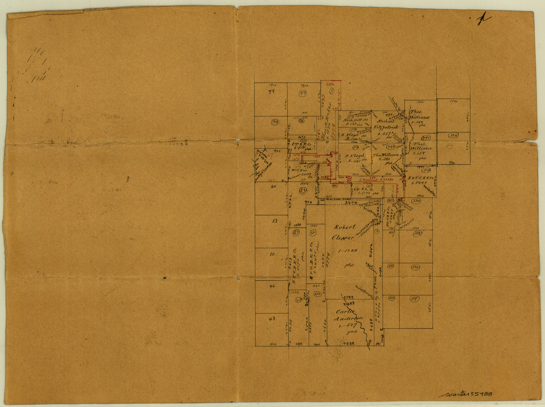
Runnels County Sketch File 21
[Sketch of surveys around the Robert Clever survey in the central part of the county]
-
Map/Doc
35488
-
Collection
General Map Collection
-
Counties
Runnels
-
Subjects
Surveying Sketch File
-
Height x Width
11.7 x 15.6 inches
29.7 x 39.6 cm
-
Medium
paper, manuscript
-
Features
Coyote Creek
Part of: General Map Collection
Chocolate Bayou, Texas showing proposed connection from its mouth to West Galveston Bay for a Light Draft Navigation

Print $20.00
- Digital $50.00
Chocolate Bayou, Texas showing proposed connection from its mouth to West Galveston Bay for a Light Draft Navigation
Size 13.2 x 20.4 inches
Map/Doc 96557
Knox County Sketch File 1-1a

Print $30.00
- Digital $50.00
Knox County Sketch File 1-1a
1872
Size 8.2 x 12.4 inches
Map/Doc 29212
Cochran County Working Sketch 5

Print $20.00
- Digital $50.00
Cochran County Working Sketch 5
Size 23.8 x 24.9 inches
Map/Doc 68016
Houston County Working Sketch 11

Print $20.00
- Digital $50.00
Houston County Working Sketch 11
1953
Size 28.5 x 24.5 inches
Map/Doc 66241
Duval County Working Sketch 3

Print $40.00
- Digital $50.00
Duval County Working Sketch 3
1925
Size 59.1 x 45.0 inches
Map/Doc 76444
Red River County Working Sketch 77

Print $20.00
- Digital $50.00
Red River County Working Sketch 77
1981
Size 34.9 x 23.8 inches
Map/Doc 72060
Map of Nacogdoches County

Print $40.00
- Digital $50.00
Map of Nacogdoches County
1839
Size 83.6 x 43.2 inches
Map/Doc 93370
Lampasas County Working Sketch 7

Print $20.00
- Digital $50.00
Lampasas County Working Sketch 7
1951
Size 30.7 x 36.3 inches
Map/Doc 70284

Val Verde County Sketch File 20

Print $20.00
- Digital $50.00
Val Verde County Sketch File 20
1881
Size 26.5 x 37.2 inches
Map/Doc 12569
Flight Mission No. DQN-2K, Frame 48, Calhoun County

Print $20.00
- Digital $50.00
Flight Mission No. DQN-2K, Frame 48, Calhoun County
1953
Size 17.1 x 22.2 inches
Map/Doc 84253
Nueces County Rolled Sketch 54

Print $67.00
- Digital $50.00
Nueces County Rolled Sketch 54
1978
Size 9.8 x 15.0 inches
Map/Doc 47875
You may also like
Hardeman County

Print $20.00
- Digital $50.00
Hardeman County
1935
Size 42.8 x 40.0 inches
Map/Doc 77302
Flight Mission No. DQN-5K, Frame 27, Calhoun County

Print $20.00
- Digital $50.00
Flight Mission No. DQN-5K, Frame 27, Calhoun County
1953
Size 18.4 x 22.1 inches
Map/Doc 84378
The Republic County of Harrison. February 1, 1842

Print $20.00
The Republic County of Harrison. February 1, 1842
2020
Size 18.6 x 21.7 inches
Map/Doc 96172
Childress County Rolled Sketch 16A

Print $20.00
- Digital $50.00
Childress County Rolled Sketch 16A
Size 44.3 x 36.9 inches
Map/Doc 8599
Wichita County Rolled Sketch 18

Print $20.00
- Digital $50.00
Wichita County Rolled Sketch 18
1923
Size 25.7 x 38.0 inches
Map/Doc 8254
History Salvaged from the Sea

History Salvaged from the Sea
1977
Size 23.0 x 30.4 inches
Map/Doc 96836
Official Copy of the Map of Milam County made for the International and G. N. R. R. Co.

Print $20.00
- Digital $50.00
Official Copy of the Map of Milam County made for the International and G. N. R. R. Co.
1877
Size 23.9 x 22.5 inches
Map/Doc 581
Jones County Boundary File 2

Print $6.00
- Digital $50.00
Jones County Boundary File 2
Size 12.4 x 8.3 inches
Map/Doc 55676
Greer County Sketch File 10

Print $4.00
- Digital $50.00
Greer County Sketch File 10
1929
Size 8.6 x 13.4 inches
Map/Doc 24530
Val Verde County Working Sketch 48

Print $20.00
- Digital $50.00
Val Verde County Working Sketch 48
1949
Size 32.6 x 17.6 inches
Map/Doc 72183
[Sketch showing B. S. & F. survey 9, sections 162, 163, 178, 179 in town of Bush]
![91728, [Sketch showing B. S. & F. survey 9, sections 162, 163, 178, 179 in town of Bush], Twichell Survey Records](https://historictexasmaps.com/wmedia_w700/maps/91728-1.tif.jpg)
Print $20.00
- Digital $50.00
[Sketch showing B. S. & F. survey 9, sections 162, 163, 178, 179 in town of Bush]
Size 12.0 x 16.1 inches
Map/Doc 91728
Map of Gregg County

Print $20.00
- Digital $50.00
Map of Gregg County
1874
Size 14.0 x 13.9 inches
Map/Doc 3604