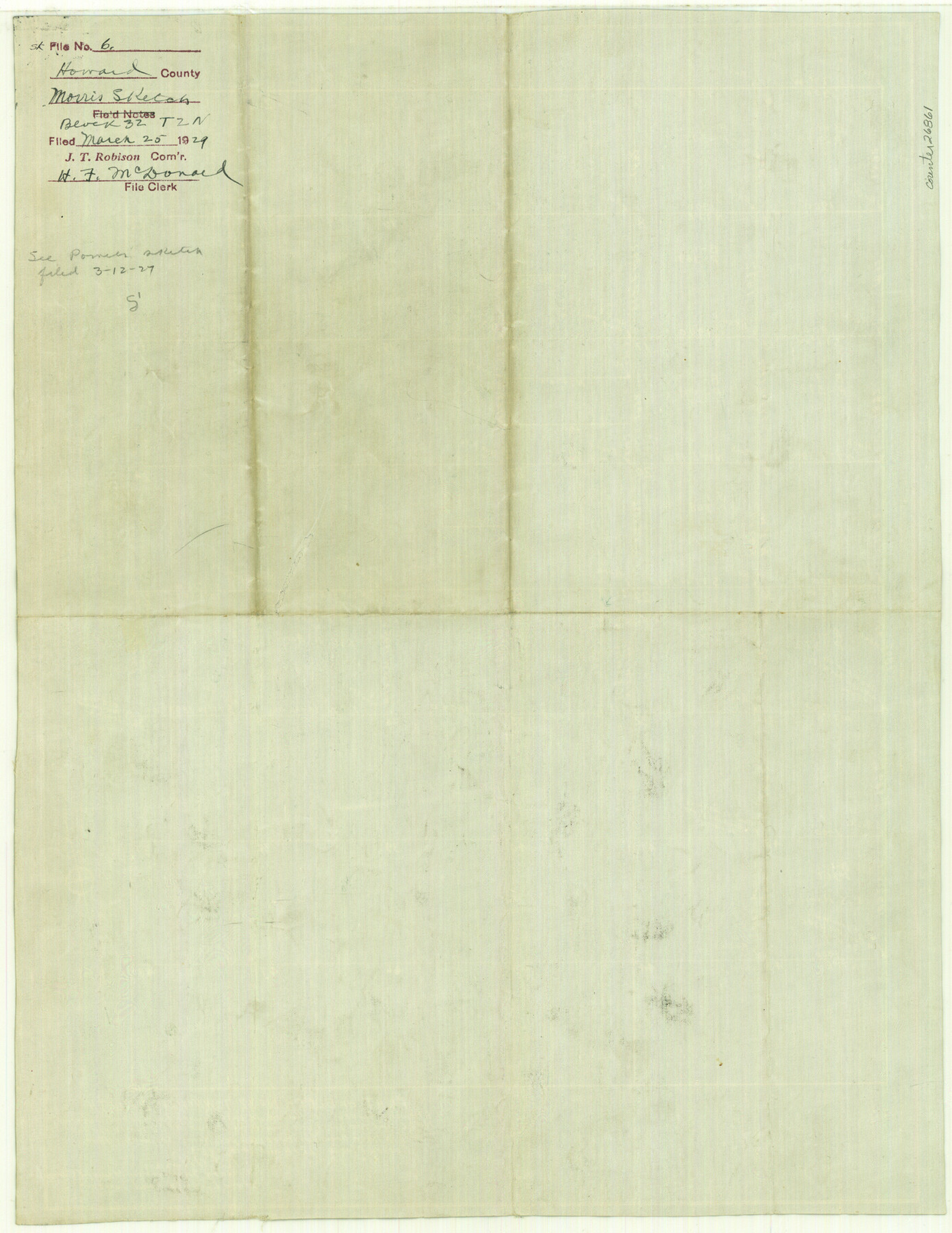
Howard County Sketch File 6
Plat of Block 32, Township 2 North
-
Map/Doc
26861
-
Collection
General Map Collection
-
Object Dates
3/20/1929 (Creation Date)
3/25/1929 (File Date)
3/14/1929 (Survey Date)
3/20/1929 (Correspondence Date)
-
People and Organizations
R.E. Morris (Surveyor/Engineer)
-
Counties
Howard
-
Subjects
Surveying Sketch File
-
Height x Width
18.6 x 14.4 inches
47.2 x 36.6 cm
-
Medium
multi-page, multi-format
-
Features
Gail Road
Part of: General Map Collection
Flight Mission No. DQN-2K, Frame 9, Calhoun County

Print $20.00
- Digital $50.00
Flight Mission No. DQN-2K, Frame 9, Calhoun County
1953
Size 15.7 x 15.6 inches
Map/Doc 84226
Controlled Mosaic by Jack Amman Photogrammetric Engineers, Inc - Sheet 51

Print $20.00
- Digital $50.00
Controlled Mosaic by Jack Amman Photogrammetric Engineers, Inc - Sheet 51
1954
Size 20.0 x 24.0 inches
Map/Doc 83510
Jeff Davis County Sketch File 4

Print $42.00
- Digital $50.00
Jeff Davis County Sketch File 4
1889
Size 12.5 x 14.7 inches
Map/Doc 27893
Kendall County Sketch File 16a

Print $40.00
- Digital $50.00
Kendall County Sketch File 16a
1891
Size 15.3 x 13.7 inches
Map/Doc 28707
Henderson County Rolled Sketch 12

Print $20.00
- Digital $50.00
Henderson County Rolled Sketch 12
1980
Size 22.8 x 19.1 inches
Map/Doc 6204
Flight Mission No. BRE-2P, Frame 14, Nueces County

Print $20.00
- Digital $50.00
Flight Mission No. BRE-2P, Frame 14, Nueces County
1956
Size 18.5 x 22.6 inches
Map/Doc 86723
Throckmorton County Boundary File 4

Print $6.00
- Digital $50.00
Throckmorton County Boundary File 4
Size 14.3 x 8.8 inches
Map/Doc 59283
Lubbock County Working Sketch Graphic Index

Print $20.00
- Digital $50.00
Lubbock County Working Sketch Graphic Index
1968
Size 41.3 x 33.7 inches
Map/Doc 76626
Flight Mission No. CRC-4R, Frame 74, Chambers County

Print $20.00
- Digital $50.00
Flight Mission No. CRC-4R, Frame 74, Chambers County
1956
Size 18.7 x 22.5 inches
Map/Doc 84878
Duval County Working Sketch 35

Print $20.00
- Digital $50.00
Duval County Working Sketch 35
1956
Size 17.2 x 16.5 inches
Map/Doc 68759
Borden County Rolled Sketch 4

Print $40.00
- Digital $50.00
Borden County Rolled Sketch 4
Size 57.4 x 55.0 inches
Map/Doc 8447
Map of Upshur County Texas

Print $20.00
- Digital $50.00
Map of Upshur County Texas
1873
Size 20.4 x 15.2 inches
Map/Doc 4635
You may also like
Gregg County Rolled Sketch TMB

Print $20.00
- Digital $50.00
Gregg County Rolled Sketch TMB
1931
Size 20.9 x 20.8 inches
Map/Doc 6042
[Sketch of expeditions, trails in Jones, Taylor, Shackelford, Callahan, Buchanan/Stephens and Eastland Counties]
![65405, [Sketch of expeditions, trails in Jones, Taylor, Shackelford, Callahan, Buchanan/Stephens and Eastland Counties], General Map Collection](https://historictexasmaps.com/wmedia_w700/maps/65405.tif.jpg)
Print $4.00
- Digital $50.00
[Sketch of expeditions, trails in Jones, Taylor, Shackelford, Callahan, Buchanan/Stephens and Eastland Counties]
1873
Size 10.8 x 18.3 inches
Map/Doc 65405
[Maps of surveys in Reeves & Culberson Cos]
![61129, [Maps of surveys in Reeves & Culberson Cos], General Map Collection](https://historictexasmaps.com/wmedia_w700/maps/61129.tif.jpg)
Print $20.00
- Digital $50.00
[Maps of surveys in Reeves & Culberson Cos]
1937
Size 30.7 x 25.0 inches
Map/Doc 61129
Amistad International Reservoir on Rio Grande 89a

Print $20.00
- Digital $50.00
Amistad International Reservoir on Rio Grande 89a
1949
Size 28.6 x 40.1 inches
Map/Doc 75518
Crockett County Rolled Sketch 88J

Print $40.00
- Digital $50.00
Crockett County Rolled Sketch 88J
1973
Size 42.7 x 57.4 inches
Map/Doc 8734
Comanche County Working Sketch 3

Print $20.00
- Digital $50.00
Comanche County Working Sketch 3
1919
Size 21.9 x 12.6 inches
Map/Doc 68137
Plan of the City of Washington the Capitol of the United States of America

Print $20.00
- Digital $50.00
Plan of the City of Washington the Capitol of the United States of America
1863
Size 12.7 x 15.8 inches
Map/Doc 94475
Flight Mission No. CGI-4N, Frame 185, Cameron County

Print $20.00
- Digital $50.00
Flight Mission No. CGI-4N, Frame 185, Cameron County
1955
Size 18.6 x 22.3 inches
Map/Doc 84688
Briscoe County Boundary File 1

Print $90.00
- Digital $50.00
Briscoe County Boundary File 1
Size 8.6 x 6.8 inches
Map/Doc 50758
Hydrographic Survey H-6396 of Outer Coast of Padre Island; Gulf of Mexico

Print $40.00
- Digital $50.00
Hydrographic Survey H-6396 of Outer Coast of Padre Island; Gulf of Mexico
1938
Size 54.4 x 33.5 inches
Map/Doc 2699
Duval County Rolled Sketch 37

Print $20.00
- Digital $50.00
Duval County Rolled Sketch 37
1952
Size 29.2 x 24.6 inches
Map/Doc 5753
Brewster County Sketch File FN-31

Print $4.00
- Digital $50.00
Brewster County Sketch File FN-31
1975
Size 11.3 x 8.8 inches
Map/Doc 15852