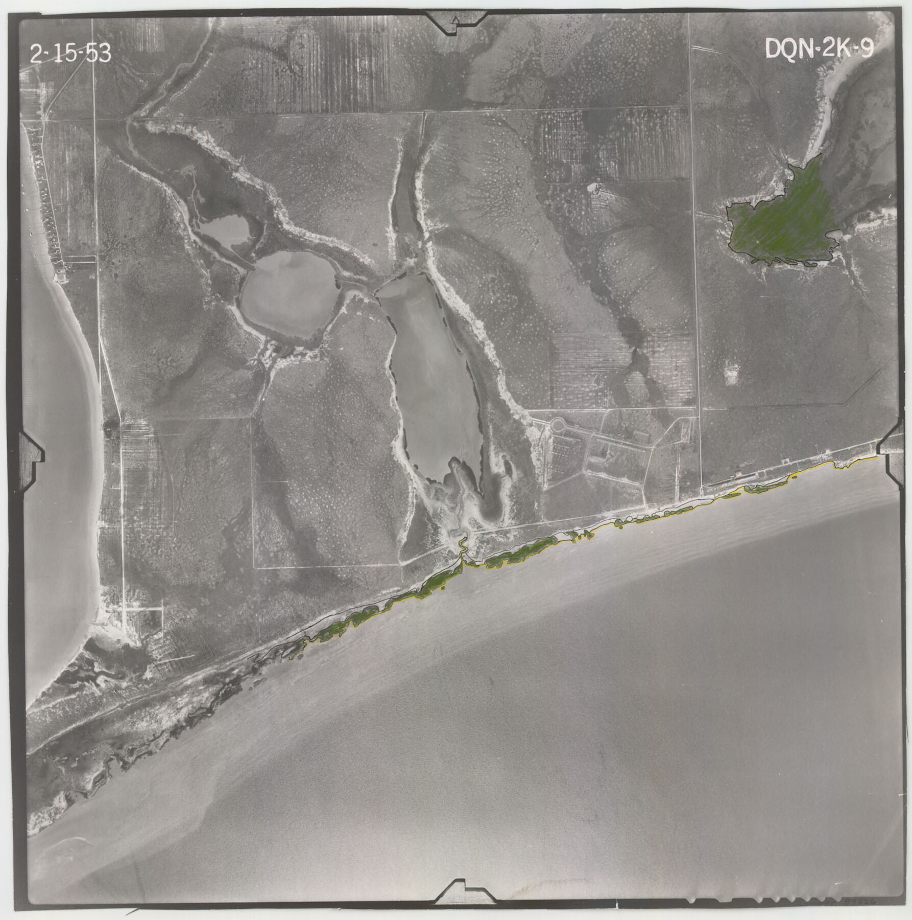
Flight Mission No. DQN-2K, Frame 9, Calhoun County
DQN-2K-9
-
Map/Doc
84226
-
Collection
General Map Collection
-
Object Dates
1953/2/15 (Creation Date)
-
People and Organizations
U. S. Department of Agriculture (Publisher)
-
Counties
Calhoun
-
Subjects
Aerial Photograph
-
Height x Width
15.7 x 15.6 inches
39.9 x 39.6 cm
-
Comments
Flown by Aero Exploration Company of Tulsa, Oklahoma.
Part of: General Map Collection
Flight Mission No. BRA-6M, Frame 144, Jefferson County

Print $20.00
- Digital $50.00
Flight Mission No. BRA-6M, Frame 144, Jefferson County
1953
Size 18.5 x 22.3 inches
Map/Doc 85445
Edwards County Working Sketch Graphic Index - east part - sheet 2

Print $40.00
- Digital $50.00
Edwards County Working Sketch Graphic Index - east part - sheet 2
1975
Size 54.7 x 39.8 inches
Map/Doc 76534
Revised Map of Matagorda Bay and Vicinity in Matagorda and Calhoun Counties, showing Subdivision for Mineral Development

Print $40.00
- Digital $50.00
Revised Map of Matagorda Bay and Vicinity in Matagorda and Calhoun Counties, showing Subdivision for Mineral Development
1959
Size 43.8 x 57.0 inches
Map/Doc 1910
Flight Mission No. DCL-6C, Frame 130, Kenedy County

Print $20.00
- Digital $50.00
Flight Mission No. DCL-6C, Frame 130, Kenedy County
1943
Size 18.6 x 22.3 inches
Map/Doc 85960
Presidio County Sketch File A

Print $20.00
- Digital $50.00
Presidio County Sketch File A
Size 25.6 x 21.4 inches
Map/Doc 11700

Flight Mission No. BRA-7M, Frame 118, Jefferson County

Print $20.00
- Digital $50.00
Flight Mission No. BRA-7M, Frame 118, Jefferson County
1953
Size 18.6 x 22.2 inches
Map/Doc 85512
Brewster County Rolled Sketch 114

Print $20.00
- Digital $50.00
Brewster County Rolled Sketch 114
1964
Size 11.5 x 18.5 inches
Map/Doc 5271
Louisiana and Texas Intracoastal Waterway

Print $20.00
- Digital $50.00
Louisiana and Texas Intracoastal Waterway
1929
Size 13.8 x 19.7 inches
Map/Doc 83340

Medina County Working Sketch 26

Print $20.00
- Digital $50.00
Medina County Working Sketch 26
1985
Size 30.6 x 30.5 inches
Map/Doc 70941
Tom Green County Rolled Sketch 3

Print $20.00
- Digital $50.00
Tom Green County Rolled Sketch 3
Size 26.8 x 32.8 inches
Map/Doc 7993
You may also like
Palo Pinto County Working Sketch 15

Print $20.00
- Digital $50.00
Palo Pinto County Working Sketch 15
1971
Size 26.4 x 30.8 inches
Map/Doc 71398
Motley County Boundary File 2

Print $10.00
- Digital $50.00
Motley County Boundary File 2
Size 7.1 x 4.3 inches
Map/Doc 57506
[Map of Polk County]
![4613, [Map of Polk County], General Map Collection](https://historictexasmaps.com/wmedia_w700/maps/4613-1.tif.jpg)
Print $20.00
- Digital $50.00
[Map of Polk County]
1855
Size 21.2 x 31.0 inches
Map/Doc 4613
Potter County Sketch File 2

Print $20.00
- Digital $50.00
Potter County Sketch File 2
1887
Size 29.3 x 39.4 inches
Map/Doc 10573
Grayson County

Print $20.00
- Digital $50.00
Grayson County
1935
Size 42.4 x 39.5 inches
Map/Doc 73162
[Surveys on the San Marcos River]
![149, [Surveys on the San Marcos River], General Map Collection](https://historictexasmaps.com/wmedia_w700/maps/149.tif.jpg)
Print $20.00
- Digital $50.00
[Surveys on the San Marcos River]
Size 14.1 x 12.4 inches
Map/Doc 149
The Republic County of Gonzales. Boundaries Defined, December 14, 1837

Print $20.00
The Republic County of Gonzales. Boundaries Defined, December 14, 1837
2020
Size 14.7 x 21.7 inches
Map/Doc 96153
Flight Mission No. CUG-2P, Frame 80, Kleberg County

Print $20.00
- Digital $50.00
Flight Mission No. CUG-2P, Frame 80, Kleberg County
1956
Size 18.5 x 22.1 inches
Map/Doc 86212
Nueces County Rolled Sketch 121

Print $32.00
Nueces County Rolled Sketch 121
1994
Size 18.2 x 24.5 inches
Map/Doc 7152
Angelina County Sketch File 16

Print $11.00
- Digital $50.00
Angelina County Sketch File 16
Size 7.9 x 3.8 inches
Map/Doc 13004
General Highway Map, Hudspeth County, Texas

Print $20.00
General Highway Map, Hudspeth County, Texas
1961
Size 25.1 x 18.2 inches
Map/Doc 79527
[Sketch of Surveys on Big Sandy Creek]
![179, [Sketch of Surveys on Big Sandy Creek], General Map Collection](https://historictexasmaps.com/wmedia_w700/maps/179.tif.jpg)
Print $2.00
- Digital $50.00
[Sketch of Surveys on Big Sandy Creek]
1841
Size 8.2 x 9.2 inches
Map/Doc 179