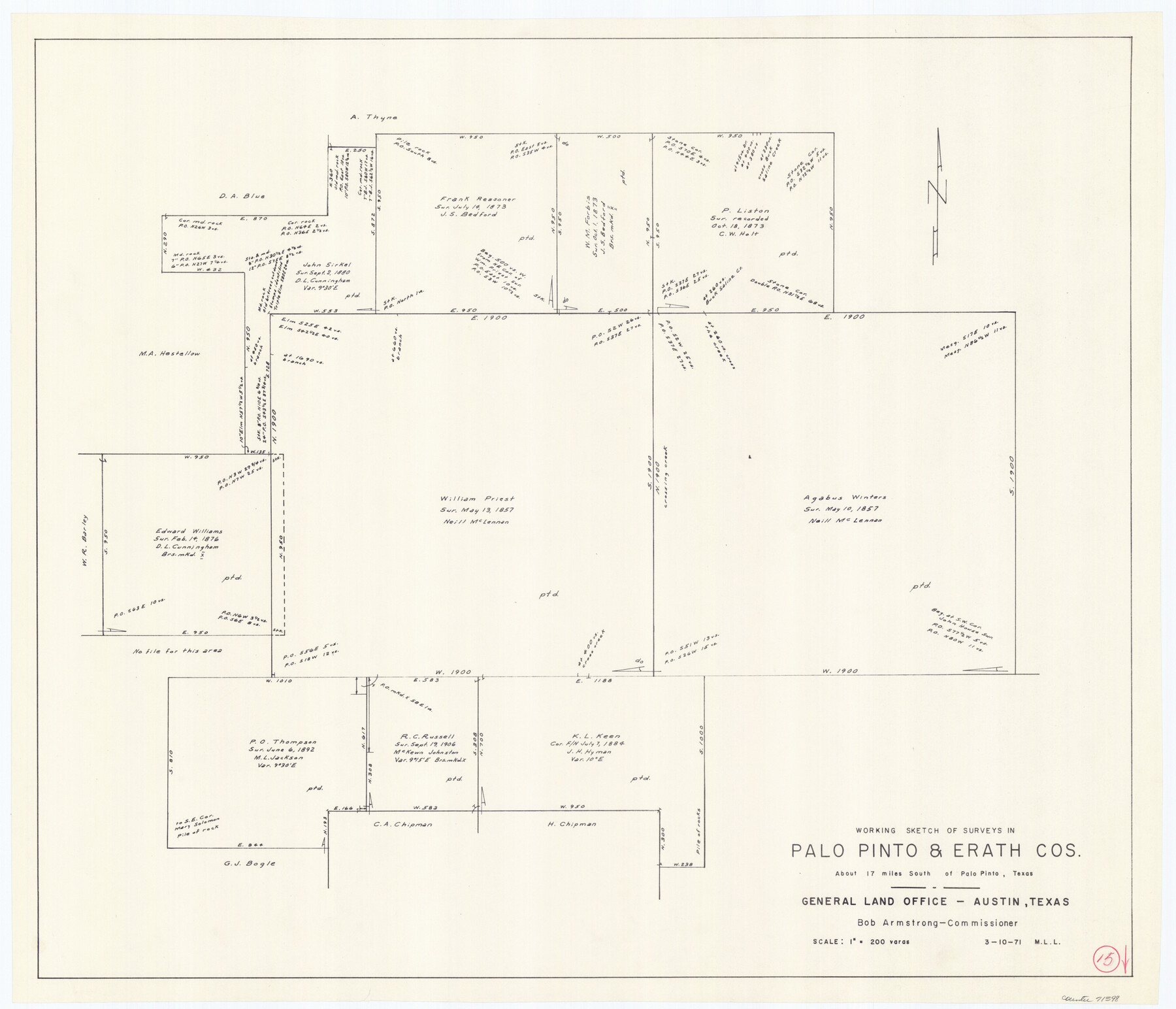
Palo Pinto County Working Sketch 15
-
Map/Doc
71398
-
Collection
General Map Collection
-
Object Dates
3/10/1971 (Creation Date)
-
People and Organizations
M. L. Liles (Draftsman)
-
Counties
Palo Pinto Erath
-
Subjects
Surveying Working Sketch
-
Height x Width
26.4 x 30.8 inches
67.1 x 78.2 cm
-
Scale
1" = 200 varas
Part of: General Map Collection
Hardin County Sketch File 61

Print $20.00
- Digital $50.00
Hardin County Sketch File 61
1933
Size 18.9 x 24.6 inches
Map/Doc 11636
Baylor County Sketch File A

Print $6.00
- Digital $50.00
Baylor County Sketch File A
Size 7.5 x 9.2 inches
Map/Doc 14072
Howard County Sketch File A

Print $44.00
- Digital $50.00
Howard County Sketch File A
Size 7.2 x 7.6 inches
Map/Doc 26837
Fractional Township No. 8 South Range No. 19 East of the Indian Meridian, Indian Territory

Print $20.00
- Digital $50.00
Fractional Township No. 8 South Range No. 19 East of the Indian Meridian, Indian Territory
1897
Size 19.1 x 24.2 inches
Map/Doc 75234
Right of Way & Track Map, St. Louis, Brownsville & Mexico Ry. operated by St. Louis, Brownsville & Mexico Ry. Co.

Print $40.00
- Digital $50.00
Right of Way & Track Map, St. Louis, Brownsville & Mexico Ry. operated by St. Louis, Brownsville & Mexico Ry. Co.
1919
Size 25.5 x 57.1 inches
Map/Doc 64615
Sutton County Sketch File 50

Print $20.00
- Digital $50.00
Sutton County Sketch File 50
1941
Size 18.6 x 18.4 inches
Map/Doc 12392
Austin Old and New, a Mapguide to the Heart of the City including Capitol Complex & Government Buildings, Downtown Streets and Buildings, the University of Texas, Historical Sites, Parks & Trails, Sixth Street, Town Lake, Museums

Austin Old and New, a Mapguide to the Heart of the City including Capitol Complex & Government Buildings, Downtown Streets and Buildings, the University of Texas, Historical Sites, Parks & Trails, Sixth Street, Town Lake, Museums
Size 25.4 x 31.2 inches
Map/Doc 94380
Lynn County Boundary File 14

Print $6.00
- Digital $50.00
Lynn County Boundary File 14
Size 8.9 x 14.2 inches
Map/Doc 56754
Kent County Working Sketch 14

Print $20.00
- Digital $50.00
Kent County Working Sketch 14
1965
Size 28.2 x 35.4 inches
Map/Doc 70021
Galveston County

Print $20.00
- Digital $50.00
Galveston County
1860
Size 20.2 x 31.4 inches
Map/Doc 3575
Railroad Track Map, H&TCRRCo., Falls County, Texas

Print $4.00
- Digital $50.00
Railroad Track Map, H&TCRRCo., Falls County, Texas
1918
Size 11.7 x 18.5 inches
Map/Doc 62842
Culberson County Rolled Sketch 59

Print $40.00
- Digital $50.00
Culberson County Rolled Sketch 59
1974
Size 37.3 x 78.1 inches
Map/Doc 8760
You may also like
Culberson County Rolled Sketch 9

Print $20.00
- Digital $50.00
Culberson County Rolled Sketch 9
1886
Size 28.3 x 41.9 inches
Map/Doc 5646
Van Zandt County Sketch File 29a

Print $4.00
- Digital $50.00
Van Zandt County Sketch File 29a
1859
Size 14.2 x 6.6 inches
Map/Doc 39455
Pecos County Working Sketch 73

Print $40.00
- Digital $50.00
Pecos County Working Sketch 73
1957
Size 110.6 x 38.7 inches
Map/Doc 71545
Brewster County Sketch File S-29

Print $44.00
- Digital $50.00
Brewster County Sketch File S-29
1971
Size 11.1 x 8.7 inches
Map/Doc 15846
Roberts County Rolled Sketch 3

Print $40.00
- Digital $50.00
Roberts County Rolled Sketch 3
Size 38.0 x 49.7 inches
Map/Doc 8356
Newton County Working Sketch 40

Print $20.00
- Digital $50.00
Newton County Working Sketch 40
1970
Size 43.6 x 39.7 inches
Map/Doc 71286
Smith County Working Sketch 18

Print $40.00
- Digital $50.00
Smith County Working Sketch 18
1996
Size 50.4 x 37.1 inches
Map/Doc 63903
Brooks County Boundary File Index

Print $2.00
- Digital $50.00
Brooks County Boundary File Index
Size 8.6 x 3.1 inches
Map/Doc 50808
Culberson County Rolled Sketch 40

Print $20.00
- Digital $50.00
Culberson County Rolled Sketch 40
Size 32.1 x 25.0 inches
Map/Doc 8751
General Highway Map. Detail of Cities and Towns in Bexar County, Texas [San Antonio and vicinity]
![79018, General Highway Map. Detail of Cities and Towns in Bexar County, Texas [San Antonio and vicinity], Texas State Library and Archives](https://historictexasmaps.com/wmedia_w700/maps/79018.tif.jpg)
Print $20.00
General Highway Map. Detail of Cities and Towns in Bexar County, Texas [San Antonio and vicinity]
1940
Size 18.6 x 25.2 inches
Map/Doc 79018
Bexar County Working Sketch 23

Print $20.00
- Digital $50.00
Bexar County Working Sketch 23
1987
Size 27.7 x 34.3 inches
Map/Doc 67339
Brazoria County Sketch File 32

Print $60.00
- Digital $50.00
Brazoria County Sketch File 32
1896
Size 14.1 x 16.2 inches
Map/Doc 10955