General Highway Map. Detail of Cities and Towns in Bexar County, Texas [San Antonio and vicinity]
-
Map/Doc
79018
-
Collection
Texas State Library and Archives
-
Object Dates
1940 (Creation Date)
-
People and Organizations
Texas State Highway Department (Publisher)
-
Counties
Bexar
-
Subjects
City County
-
Height x Width
18.6 x 25.2 inches
47.2 x 64.0 cm
-
Comments
Prints available courtesy of the Texas State Library and Archives.
More info can be found here: TSLAC Map 04796
Part of: Texas State Library and Archives
General Highway Map, Jeff Davis County, Texas
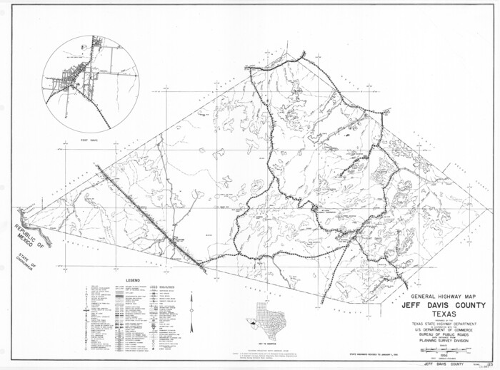

Print $20.00
General Highway Map, Jeff Davis County, Texas
1961
Size 18.3 x 24.6 inches
Map/Doc 79536
General Highway Map, Andrews County, Texas


Print $20.00
General Highway Map, Andrews County, Texas
1961
Size 25.1 x 18.3 inches
Map/Doc 79347
General Highway Map, Montague County, Texas
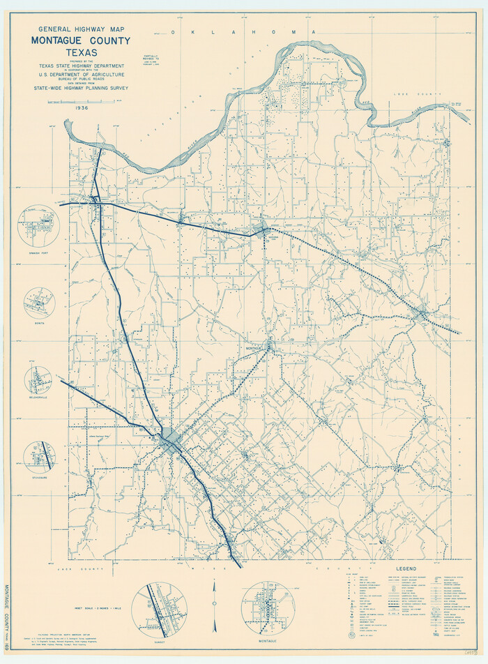

Print $20.00
General Highway Map, Montague County, Texas
1940
Size 24.9 x 18.3 inches
Map/Doc 79201
General Highway Map. Detail of Cities and Towns in Henderson County, Texas
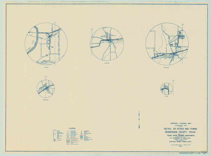

Print $20.00
General Highway Map. Detail of Cities and Towns in Henderson County, Texas
1939
Size 18.6 x 25.0 inches
Map/Doc 79126
General Highway Map, Wood County, Texas


Print $20.00
General Highway Map, Wood County, Texas
1961
Size 18.1 x 24.8 inches
Map/Doc 79718
Texas Oil and Gas Fields and Truck Pipe Line Systems


Print $20.00
Texas Oil and Gas Fields and Truck Pipe Line Systems
1926
Size 21.7 x 30.8 inches
Map/Doc 79327
General Highway Map, Brewster County, Texas


Print $20.00
General Highway Map, Brewster County, Texas
1961
Size 18.3 x 24.9 inches
Map/Doc 79386
Map of the Republic of Mexico


Print $20.00
Map of the Republic of Mexico
1882
Size 33.0 x 47.4 inches
Map/Doc 76220
Denver to Ft. Worth and the Gulf. Panhandle Route
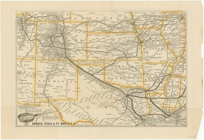

Print $20.00
Denver to Ft. Worth and the Gulf. Panhandle Route
1888
Size 7.5 x 10.9 inches
Map/Doc 76297
General Highway Map, Erath County, Texas
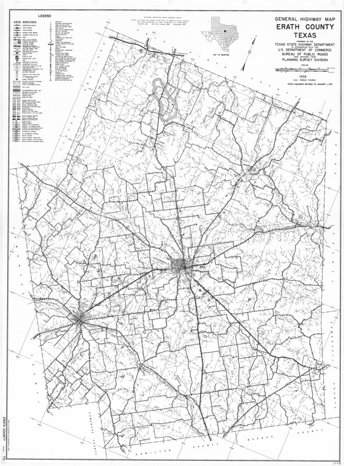

Print $20.00
General Highway Map, Erath County, Texas
1961
Size 24.6 x 18.2 inches
Map/Doc 79460
General Highway Map. Detail of Cities and Towns in Walker County, Texas [Huntsville and vicinity]
![79699, General Highway Map. Detail of Cities and Towns in Walker County, Texas [Huntsville and vicinity], Texas State Library and Archives](https://historictexasmaps.com/wmedia_w700/maps/79699.tif.jpg)
![79699, General Highway Map. Detail of Cities and Towns in Walker County, Texas [Huntsville and vicinity], Texas State Library and Archives](https://historictexasmaps.com/wmedia_w700/maps/79699.tif.jpg)
Print $20.00
General Highway Map. Detail of Cities and Towns in Walker County, Texas [Huntsville and vicinity]
1961
Size 18.1 x 24.8 inches
Map/Doc 79699
Pressler's Map of the State of Texas


Print $40.00
Pressler's Map of the State of Texas
1858
Size 48.0 x 52.5 inches
Map/Doc 76232
You may also like
Concho, San Saba & Llano Valley Railway, Sterling City Branch, Texas. Right of Way and Track Map


Print $40.00
- Digital $50.00
Concho, San Saba & Llano Valley Railway, Sterling City Branch, Texas. Right of Way and Track Map
1910
Size 17.7 x 57.8 inches
Map/Doc 64437
Trails made and routes used by the Fourth U.S. Cavalry under command of General R.S. Mackenzie in its operations against hostile indians in Texas, Indian-Territory (now Oklahoma), New Mexico and Old Mexico during the period of 1871-2-3-4 and 5
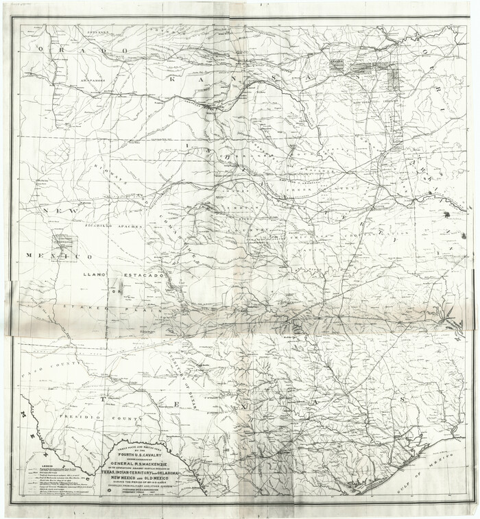

Print $20.00
- Digital $50.00
Trails made and routes used by the Fourth U.S. Cavalry under command of General R.S. Mackenzie in its operations against hostile indians in Texas, Indian-Territory (now Oklahoma), New Mexico and Old Mexico during the period of 1871-2-3-4 and 5
1927
Size 37.0 x 34.2 inches
Map/Doc 62973
McMullen County Working Sketch 21
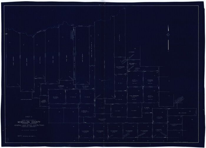

Print $40.00
- Digital $50.00
McMullen County Working Sketch 21
1947
Size 38.3 x 53.4 inches
Map/Doc 70722
Wood County Sketch File 15
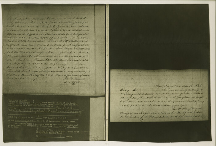

Print $5.00
- Digital $50.00
Wood County Sketch File 15
1835
Size 11.0 x 16.3 inches
Map/Doc 40694
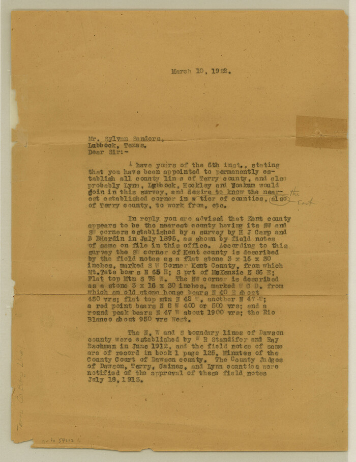
Terry County Boundary File 1

Print $4.00
- Digital $50.00
Terry County Boundary File 1
Size 11.6 x 9.0 inches
Map/Doc 59202
[Copy of a portion of] The Coast & Bays of Western Texas, St. Joseph's and Mustang Islands from Actual Survey, the Remainder from County Maps, Etc.
![72770, [Copy of a portion of] The Coast & Bays of Western Texas, St. Joseph's and Mustang Islands from Actual Survey, the Remainder from County Maps, Etc., General Map Collection](https://historictexasmaps.com/wmedia_w700/maps/72770.tif.jpg)
![72770, [Copy of a portion of] The Coast & Bays of Western Texas, St. Joseph's and Mustang Islands from Actual Survey, the Remainder from County Maps, Etc., General Map Collection](https://historictexasmaps.com/wmedia_w700/maps/72770.tif.jpg)
Print $20.00
- Digital $50.00
[Copy of a portion of] The Coast & Bays of Western Texas, St. Joseph's and Mustang Islands from Actual Survey, the Remainder from County Maps, Etc.
1857
Size 25.7 x 18.3 inches
Map/Doc 72770
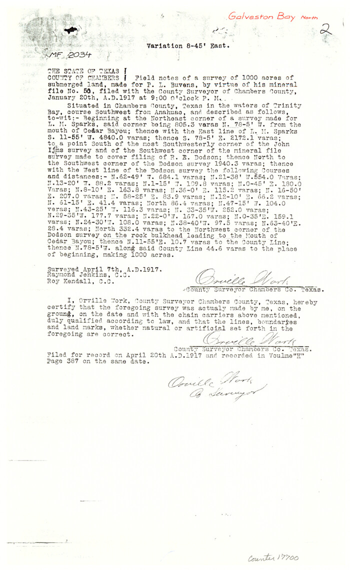
Chambers County Sketch File 42

Print $149.00
- Digital $50.00
Chambers County Sketch File 42
1917
Size 14.3 x 8.8 inches
Map/Doc 17700
Runnels County Sketch File 14


Print $20.00
Runnels County Sketch File 14
1884
Size 16.3 x 20.4 inches
Map/Doc 12252
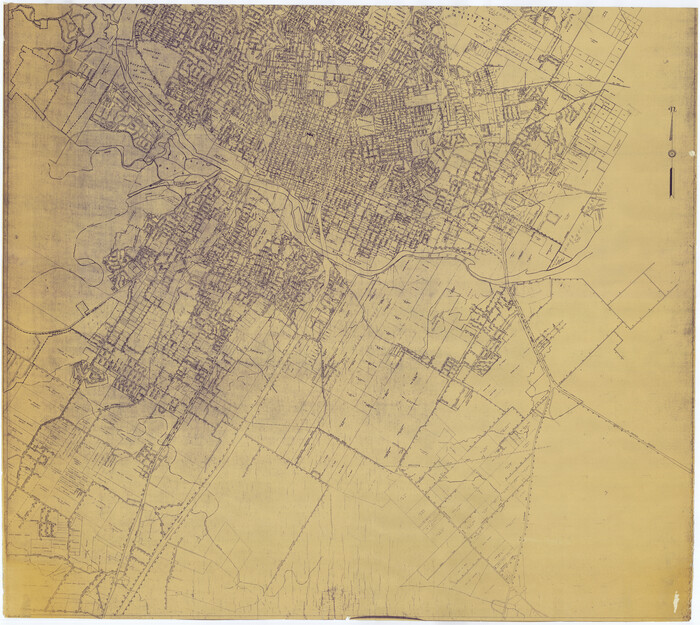
City of Austin, Texas and Suburban Territory

Print $40.00
- Digital $50.00
City of Austin, Texas and Suburban Territory
1952
Size 52.9 x 47.2 inches
Map/Doc 73582
Shackelford County Working Sketch Graphic Index


Print $20.00
- Digital $50.00
Shackelford County Working Sketch Graphic Index
1972
Size 42.2 x 36.1 inches
Map/Doc 76696
Lubbock County Sketch File 9


Print $4.00
- Digital $50.00
Lubbock County Sketch File 9
1907
Size 5.7 x 8.7 inches
Map/Doc 30430
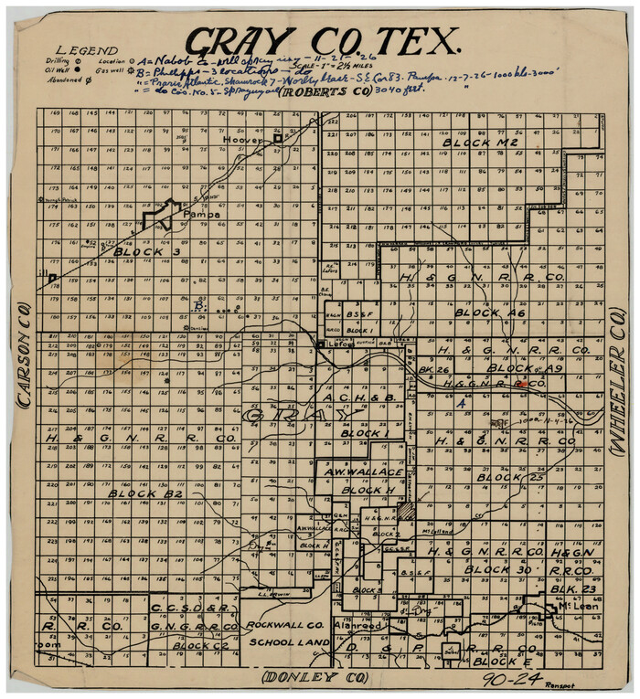
Gray County, Texas

Print $20.00
- Digital $50.00
Gray County, Texas
Size 13.4 x 14.9 inches
Map/Doc 90722
![79018, General Highway Map. Detail of Cities and Towns in Bexar County, Texas [San Antonio and vicinity], Texas State Library and Archives](https://historictexasmaps.com/wmedia_w1800h1800/maps/79018.tif.jpg)