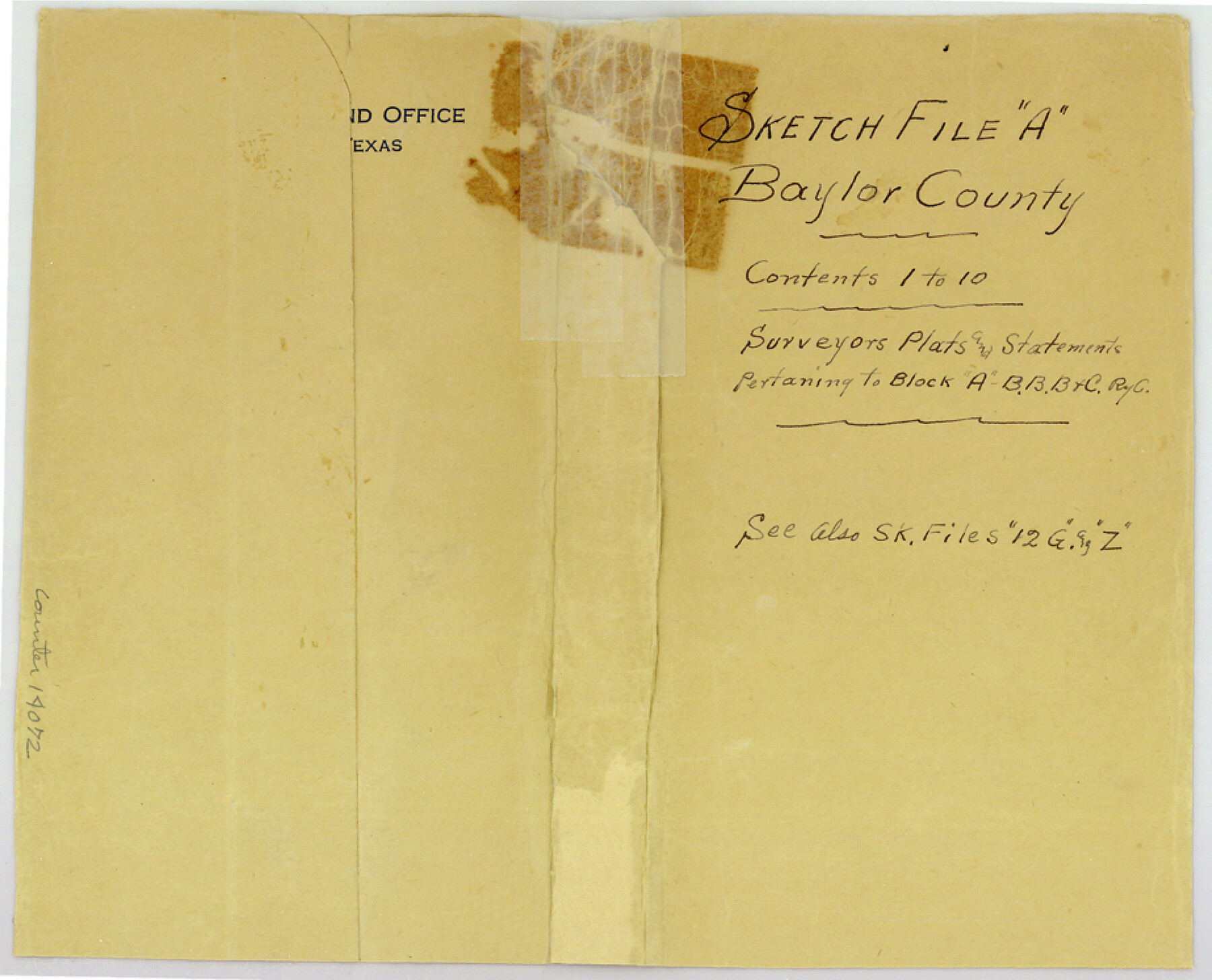
Baylor County Sketch File A
[Office sketch of surveys on the Brazos River southeast of Seymour]
-
Map/Doc
14072
-
Collection
General Map Collection
-
Counties
Baylor
-
Subjects
Surveying Sketch File
-
Height x Width
7.5 x 9.2 inches
19.1 x 23.4 cm
-
Medium
paper, manuscript
-
Features
Brazos River
Part of: General Map Collection
Flight Mission No. DIX-6P, Frame 182, Aransas County

Print $20.00
- Digital $50.00
Flight Mission No. DIX-6P, Frame 182, Aransas County
1956
Size 19.1 x 22.8 inches
Map/Doc 83844
Montgomery Co.

Print $40.00
- Digital $50.00
Montgomery Co.
1943
Size 45.1 x 53.3 inches
Map/Doc 66940
Flight Mission No. CRC-4R, Frame 150, Chambers County

Print $20.00
- Digital $50.00
Flight Mission No. CRC-4R, Frame 150, Chambers County
1956
Size 18.6 x 22.4 inches
Map/Doc 84913
South Part Presidio County

Print $20.00
- Digital $50.00
South Part Presidio County
1975
Size 34.0 x 39.3 inches
Map/Doc 73266
Map of Anderson County

Print $20.00
- Digital $50.00
Map of Anderson County
1895
Size 46.7 x 37.5 inches
Map/Doc 4866
Gonzales County

Print $40.00
- Digital $50.00
Gonzales County
1920
Size 48.4 x 44.2 inches
Map/Doc 4706
Val Verde County Rolled Sketch 36

Print $40.00
- Digital $50.00
Val Verde County Rolled Sketch 36
Size 49.6 x 43.7 inches
Map/Doc 10072
Hutchinson County Sketch File 51

Print $18.00
- Digital $50.00
Hutchinson County Sketch File 51
1993
Size 14.2 x 8.6 inches
Map/Doc 27440
Photo Index of Texas Coast - Sheet 2 of 6

Print $20.00
- Digital $50.00
Photo Index of Texas Coast - Sheet 2 of 6
1954
Size 20.0 x 24.0 inches
Map/Doc 83440
Flight Mission No. CRK-3P, Frame 69, Refugio County

Print $20.00
- Digital $50.00
Flight Mission No. CRK-3P, Frame 69, Refugio County
1956
Size 18.5 x 22.2 inches
Map/Doc 86911
Shackelford County Sketch File 2

Print $4.00
- Digital $50.00
Shackelford County Sketch File 2
1870
Size 9.3 x 9.0 inches
Map/Doc 36572
Gaines County Sketch File 9

Print $20.00
- Digital $50.00
Gaines County Sketch File 9
Size 34.1 x 17.1 inches
Map/Doc 11524
You may also like
Tarrant County Working Sketch 27

Print $20.00
- Digital $50.00
Tarrant County Working Sketch 27
2010
Size 19.4 x 35.9 inches
Map/Doc 89261
Knox County Rolled Sketch 25

Print $20.00
- Digital $50.00
Knox County Rolled Sketch 25
2007
Size 11.4 x 10.8 inches
Map/Doc 88749
Schleicher County Working Sketch Graphic Index

Print $40.00
- Digital $50.00
Schleicher County Working Sketch Graphic Index
1940
Size 37.8 x 54.2 inches
Map/Doc 76694
Clay County Boundary File 18a

Print $80.00
- Digital $50.00
Clay County Boundary File 18a
Size 65.3 x 17.3 inches
Map/Doc 51443
Lamar County Boundary File 56

Print $60.00
- Digital $50.00
Lamar County Boundary File 56
Size 8.7 x 6.4 inches
Map/Doc 56000
[W. T. Brewer: M. McDonald, Ralph Gilpin, A. Vanhooser, John Baker, John R. Taylor Surveys]
![90963, [W. T. Brewer: M. McDonald, Ralph Gilpin, A. Vanhooser, John Baker, John R. Taylor Surveys], Twichell Survey Records](https://historictexasmaps.com/wmedia_w700/maps/90963-1.tif.jpg)
Print $2.00
- Digital $50.00
[W. T. Brewer: M. McDonald, Ralph Gilpin, A. Vanhooser, John Baker, John R. Taylor Surveys]
Size 8.8 x 11.3 inches
Map/Doc 90963
Houston County Working Sketch 30

Print $20.00
- Digital $50.00
Houston County Working Sketch 30
1990
Size 36.9 x 37.0 inches
Map/Doc 66260
Agua Fria Quadrangle

Print $20.00
- Digital $50.00
Agua Fria Quadrangle
1917
Size 17.2 x 21.1 inches
Map/Doc 90136
Liberty County Working Sketch 89

Print $20.00
- Digital $50.00
Liberty County Working Sketch 89
1993
Size 45.0 x 26.2 inches
Map/Doc 70549
No. 2 Chart of Corpus Christi Pass, Texas

Print $20.00
- Digital $50.00
No. 2 Chart of Corpus Christi Pass, Texas
1878
Size 18.3 x 27.4 inches
Map/Doc 73018
Flight Mission No. DQN-2K, Frame 31, Calhoun County

Print $20.00
- Digital $50.00
Flight Mission No. DQN-2K, Frame 31, Calhoun County
1953
Size 18.7 x 22.3 inches
Map/Doc 84238
Duval County Sketch File 21

Print $42.00
- Digital $50.00
Duval County Sketch File 21
1879
Size 17.0 x 28.8 inches
Map/Doc 11385