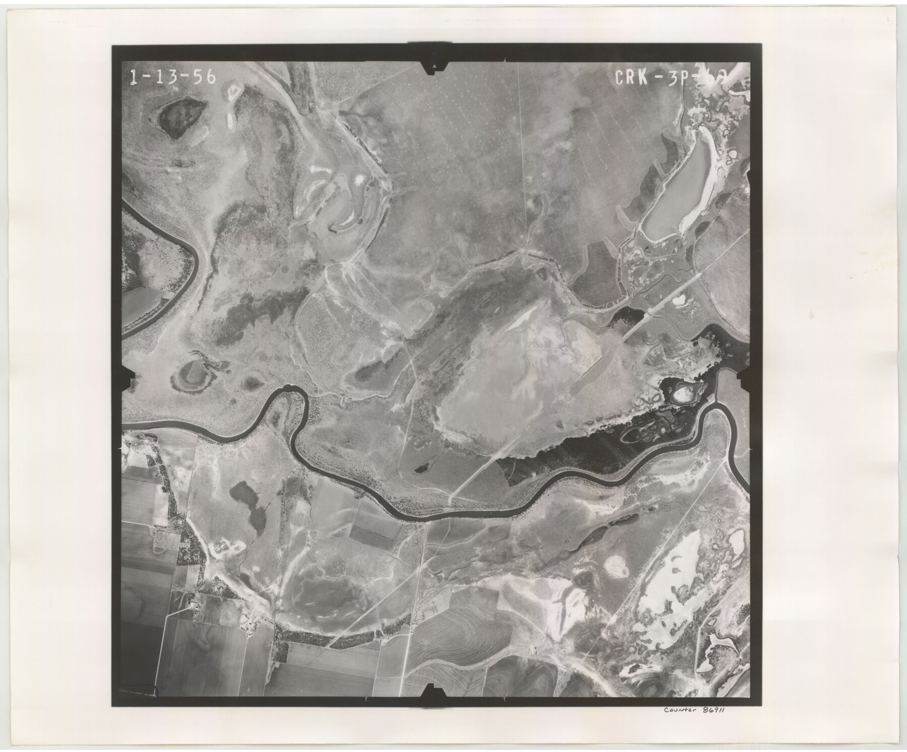
Flight Mission No. CRK-3P, Frame 69, Refugio County
CRK-3P-69
-
Map/Doc
86911
-
Collection
General Map Collection
-
Object Dates
1956/1/13 (Creation Date)
-
People and Organizations
U. S. Department of Agriculture (Publisher)
-
Counties
Refugio
-
Subjects
Aerial Photograph
-
Height x Width
18.5 x 22.2 inches
47.0 x 56.4 cm
-
Comments
Flown by V. L. Beavers and Associates of San Antonio, Texas.
Part of: General Map Collection
Flight Mission No. CRC-1R, Frame 95, Chambers County

Print $20.00
- Digital $50.00
Flight Mission No. CRC-1R, Frame 95, Chambers County
1956
Size 18.7 x 22.3 inches
Map/Doc 84710
Crosby County Sketch File 27

Print $20.00
- Digital $50.00
Crosby County Sketch File 27
Size 8.8 x 23.0 inches
Map/Doc 11256
Yoakum County Rolled Sketch 7

Print $20.00
- Digital $50.00
Yoakum County Rolled Sketch 7
2012
Size 25.9 x 18.7 inches
Map/Doc 93291
Palo Pinto County Working Sketch 21

Print $20.00
- Digital $50.00
Palo Pinto County Working Sketch 21
1984
Size 37.9 x 39.9 inches
Map/Doc 71404
Hemphill County Working Sketch 21

Print $40.00
- Digital $50.00
Hemphill County Working Sketch 21
1973
Size 79.0 x 32.6 inches
Map/Doc 66116
Bosque County

Print $40.00
- Digital $50.00
Bosque County
1945
Size 48.8 x 38.7 inches
Map/Doc 95432
Webb County Boundary File 4

Print $8.00
- Digital $50.00
Webb County Boundary File 4
Size 11.2 x 8.8 inches
Map/Doc 59761
Flight Mission No. CRC-3R, Frame 35, Chambers County

Print $20.00
- Digital $50.00
Flight Mission No. CRC-3R, Frame 35, Chambers County
1956
Size 18.5 x 22.2 inches
Map/Doc 84808
Tom Green County Sketch File 83

Print $20.00
- Digital $50.00
Tom Green County Sketch File 83
1889
Size 20.5 x 22.2 inches
Map/Doc 12455
Orange County Working Sketch 41

Print $20.00
- Digital $50.00
Orange County Working Sketch 41
1979
Size 28.0 x 18.2 inches
Map/Doc 71373
Chambers County Sketch File 23

Print $2.00
- Digital $50.00
Chambers County Sketch File 23
1878
Size 10.0 x 7.9 inches
Map/Doc 17597
Dickens County Rolled Sketch 11

Print $21.00
- Digital $50.00
Dickens County Rolled Sketch 11
1918
Size 10.6 x 15.6 inches
Map/Doc 44285
You may also like
Irion County Working Sketch 16

Print $20.00
- Digital $50.00
Irion County Working Sketch 16
1973
Size 37.8 x 36.7 inches
Map/Doc 66425
Crosby County Working Sketch 9

Print $20.00
- Digital $50.00
Crosby County Working Sketch 9
1943
Size 19.8 x 35.2 inches
Map/Doc 68443
Wilson County Working Sketch 13

Print $40.00
- Digital $50.00
Wilson County Working Sketch 13
1985
Size 23.9 x 53.5 inches
Map/Doc 72593
Briscoe County Sketch File 14a

Print $6.00
- Digital $50.00
Briscoe County Sketch File 14a
Size 14.3 x 8.6 inches
Map/Doc 16519
Howard County Sketch File 4

Print $20.00
- Digital $50.00
Howard County Sketch File 4
Size 25.6 x 21.8 inches
Map/Doc 11793
Atascosa County Rolled Sketch 13

Print $20.00
- Digital $50.00
Atascosa County Rolled Sketch 13
1944
Size 34.8 x 27.7 inches
Map/Doc 5095
Real County Rolled Sketch 12

Print $40.00
- Digital $50.00
Real County Rolled Sketch 12
Size 42.7 x 54.6 inches
Map/Doc 9836
Winkler County

Print $20.00
- Digital $50.00
Winkler County
1932
Size 39.4 x 39.5 inches
Map/Doc 63132
Packery Channel

Print $20.00
- Digital $50.00
Packery Channel
1950
Size 17.2 x 17.1 inches
Map/Doc 2996

Polk County Sketch File 35

Print $8.00
- Digital $50.00
Polk County Sketch File 35
1891
Size 14.2 x 8.7 inches
Map/Doc 34232
Llano County Sketch File 6

Print $8.00
- Digital $50.00
Llano County Sketch File 6
1877
Size 9.4 x 7.9 inches
Map/Doc 30358