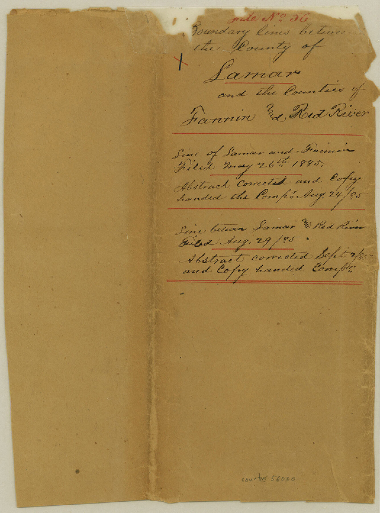
Lamar County Boundary File 56
Boundary lines between the County of Lamar and the Counties of Fannin and Red River
-
Map/Doc
56000
-
Collection
General Map Collection
-
Counties
Lamar
-
Subjects
County Boundaries
-
Height x Width
8.7 x 6.4 inches
22.1 x 16.3 cm
Part of: General Map Collection
Johnson County Boundary File 51d

Print $6.00
- Digital $50.00
Johnson County Boundary File 51d
Size 7.9 x 17.8 inches
Map/Doc 55631
Hutchinson County Rolled Sketch 40

Print $20.00
- Digital $50.00
Hutchinson County Rolled Sketch 40
1981
Size 26.0 x 37.5 inches
Map/Doc 6302
[Surveys in the Jefferson District on the Sabine River]
![325, [Surveys in the Jefferson District on the Sabine River], General Map Collection](https://historictexasmaps.com/wmedia_w700/maps/325.tif.jpg)
Print $2.00
- Digital $50.00
[Surveys in the Jefferson District on the Sabine River]
1841
Size 8.7 x 7.8 inches
Map/Doc 325
[Map of Jackson County]
![78359, [Map of Jackson County], General Map Collection](https://historictexasmaps.com/wmedia_w700/maps/78359.tif.jpg)
Print $20.00
- Digital $50.00
[Map of Jackson County]
1836
Size 32.8 x 21.1 inches
Map/Doc 78359
Jackson County Working Sketch 11

Print $40.00
- Digital $50.00
Jackson County Working Sketch 11
1994
Size 33.8 x 48.4 inches
Map/Doc 66459
Haskell County Sketch File 22

Print $6.00
- Digital $50.00
Haskell County Sketch File 22
Size 14.3 x 8.8 inches
Map/Doc 26179
Chambers County Working Sketch 29

Print $20.00
- Digital $50.00
Chambers County Working Sketch 29
2009
Size 25.2 x 18.6 inches
Map/Doc 89232
Outer Continental Shelf Leasing Maps (Louisiana Offshore Operations)

Print $20.00
- Digital $50.00
Outer Continental Shelf Leasing Maps (Louisiana Offshore Operations)
1955
Size 19.9 x 13.4 inches
Map/Doc 75860
Matagorda Light to Aransas Pass

Print $20.00
- Digital $50.00
Matagorda Light to Aransas Pass
1961
Size 35.9 x 44.7 inches
Map/Doc 73396
Lamar County Rolled Sketch 1

Print $40.00
- Digital $50.00
Lamar County Rolled Sketch 1
1989
Size 50.3 x 39.1 inches
Map/Doc 9553
Houston County Rolled Sketch 4

Print $40.00
- Digital $50.00
Houston County Rolled Sketch 4
Size 42.2 x 52.1 inches
Map/Doc 9181
Gregg County Rolled Sketch MHH1

Print $40.00
- Digital $50.00
Gregg County Rolled Sketch MHH1
1935
Size 167.4 x 23.1 inches
Map/Doc 9064
You may also like
Yellow House Ranch Lamb County, Texas

Print $20.00
- Digital $50.00
Yellow House Ranch Lamb County, Texas
Size 24.0 x 26.2 inches
Map/Doc 92178
Hamilton County

Print $20.00
- Digital $50.00
Hamilton County
1898
Size 35.3 x 42.5 inches
Map/Doc 66849
Pecos County Rolled Sketch 26

Print $20.00
- Digital $50.00
Pecos County Rolled Sketch 26
1899
Size 19.9 x 23.6 inches
Map/Doc 7211
Reagan County Sketch File 2

Print $2.00
- Digital $50.00
Reagan County Sketch File 2
Size 10.8 x 6.6 inches
Map/Doc 34979
Fayette County Sketch File 6

Print $114.00
- Digital $50.00
Fayette County Sketch File 6
1981
Size 14.9 x 9.5 inches
Map/Doc 22508
General Land Office and State Reclamation Department - An Index Map

Print $20.00
- Digital $50.00
General Land Office and State Reclamation Department - An Index Map
1930
Size 25.8 x 16.4 inches
Map/Doc 3027
Aransas County, Texas

Print $20.00
- Digital $50.00
Aransas County, Texas
1880
Size 19.3 x 20.2 inches
Map/Doc 665
Starr County Sketch File 31B

Print $14.00
- Digital $50.00
Starr County Sketch File 31B
1936
Size 14.2 x 8.8 inches
Map/Doc 36960
Colorado County Sketch File 16a

Print $4.00
- Digital $50.00
Colorado County Sketch File 16a
Size 12.7 x 8.1 inches
Map/Doc 18947
Marion County

Print $20.00
- Digital $50.00
Marion County
1943
Size 30.3 x 47.9 inches
Map/Doc 95579
Shelby County Working Sketch 19

Print $20.00
- Digital $50.00
Shelby County Working Sketch 19
1969
Size 36.9 x 30.2 inches
Map/Doc 63872
Archer County Working Sketch 1a

Print $20.00
- Digital $50.00
Archer County Working Sketch 1a
Size 42.8 x 42.5 inches
Map/Doc 83096