[Map of Jackson County]
Atlas E, Sketch 24a (E-24a)
E-24a
-
Map/Doc
78359
-
Collection
General Map Collection
-
Object Dates
1836 (Creation Date)
-
Counties
Jackson
-
Subjects
Atlas
-
Height x Width
32.8 x 21.1 inches
83.3 x 53.6 cm
-
Medium
paper, manuscript
-
Comments
Conserved in 2003.
-
Features
West Mustang Creek
East Mustang Creek
Rio Navidad
Sandy Creek
Middle Mustang Creek
Mustang Creek
West Carancahua Creek
East Carancahua Creek
Labaca [sic] River
Cox's Creek
Keller's Creek
Carancahua Bay
Matagorda Bay
Part of: General Map Collection
Reeves County
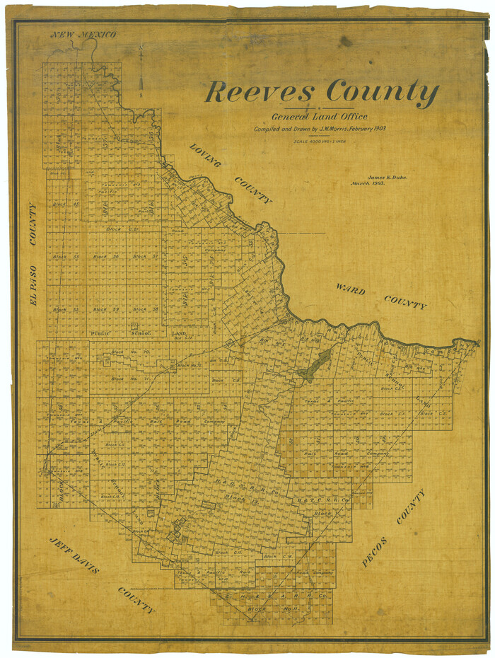

Print $20.00
- Digital $50.00
Reeves County
1903
Size 47.3 x 35.6 inches
Map/Doc 66997
Hamilton County Sketch File 4


Print $16.00
- Digital $50.00
Hamilton County Sketch File 4
Size 14.5 x 9.1 inches
Map/Doc 24903
Jeff Davis County Working Sketch 47
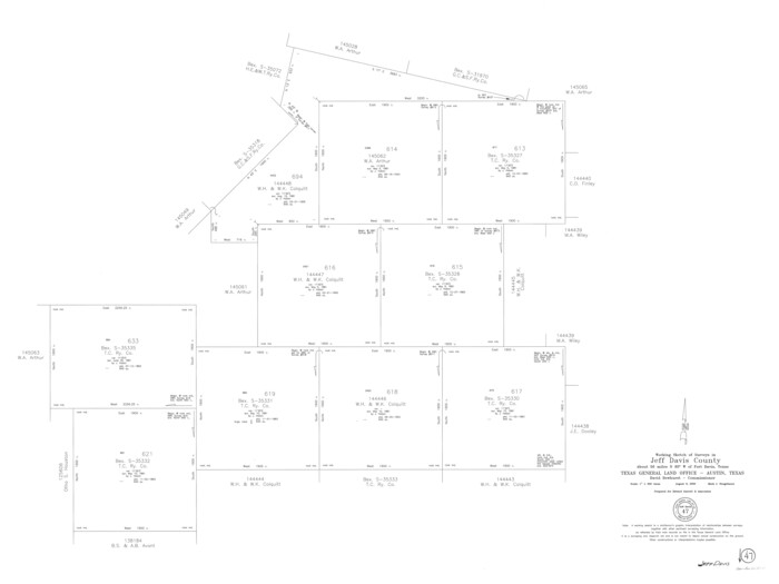

Print $20.00
- Digital $50.00
Jeff Davis County Working Sketch 47
2000
Size 30.1 x 40.1 inches
Map/Doc 66542
Map of Haskell County


Print $20.00
- Digital $50.00
Map of Haskell County
1899
Size 40.1 x 35.3 inches
Map/Doc 16847
Map of the River Sabine from its mouth on the Gulf of Mexico in the sea to Logan's Ferry in latitude 31° 58' 24" north


Print $20.00
- Digital $50.00
Map of the River Sabine from its mouth on the Gulf of Mexico in the sea to Logan's Ferry in latitude 31° 58' 24" north
1842
Size 18.3 x 9.3 inches
Map/Doc 65383
Hardeman County Sketch File 17


Print $2.00
- Digital $50.00
Hardeman County Sketch File 17
Size 7.8 x 6.7 inches
Map/Doc 25025
Houston County Rolled Sketch 4
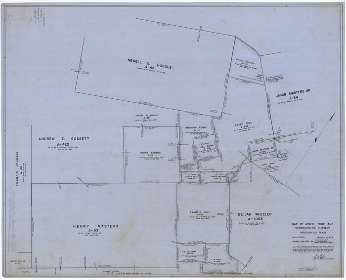

Print $40.00
- Digital $50.00
Houston County Rolled Sketch 4
Size 42.2 x 52.1 inches
Map/Doc 9181
Jim Wells County Rolled Sketch 1
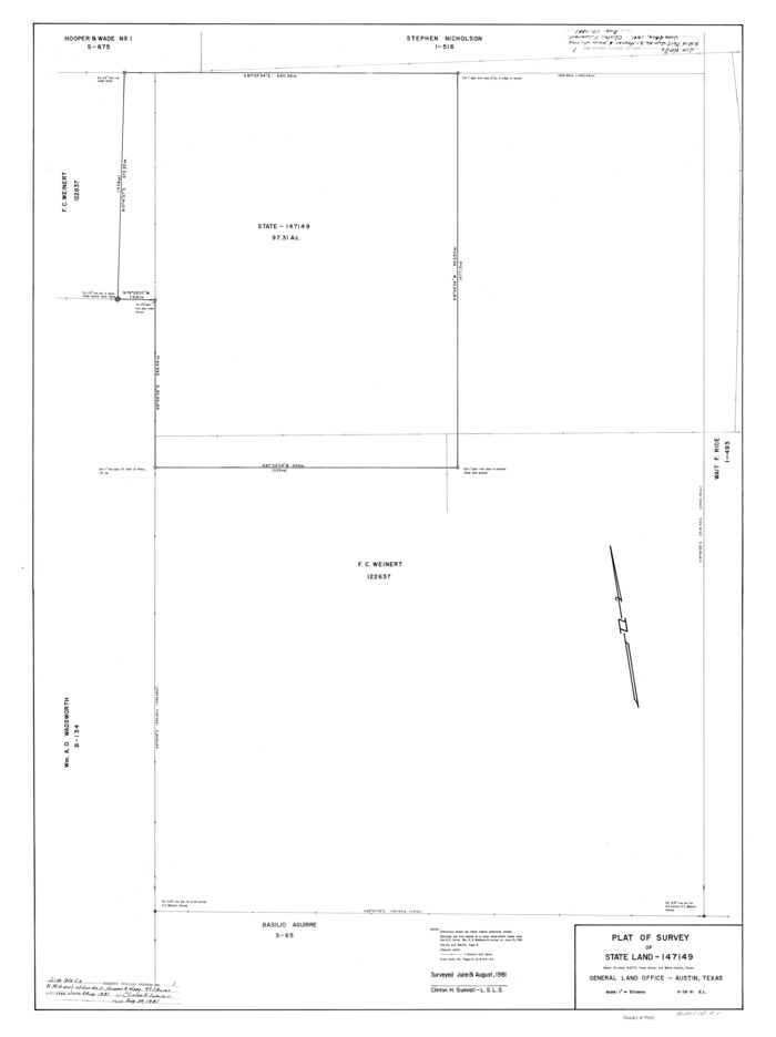

Print $20.00
- Digital $50.00
Jim Wells County Rolled Sketch 1
1981
Size 43.2 x 32.4 inches
Map/Doc 9324
Flight Mission No. CGI-1N, Frame 142, Cameron County


Print $20.00
- Digital $50.00
Flight Mission No. CGI-1N, Frame 142, Cameron County
1955
Size 18.5 x 22.2 inches
Map/Doc 84498
Crockett County Rolled Sketch 46


Print $20.00
- Digital $50.00
Crockett County Rolled Sketch 46
1938
Size 46.0 x 43.0 inches
Map/Doc 8711
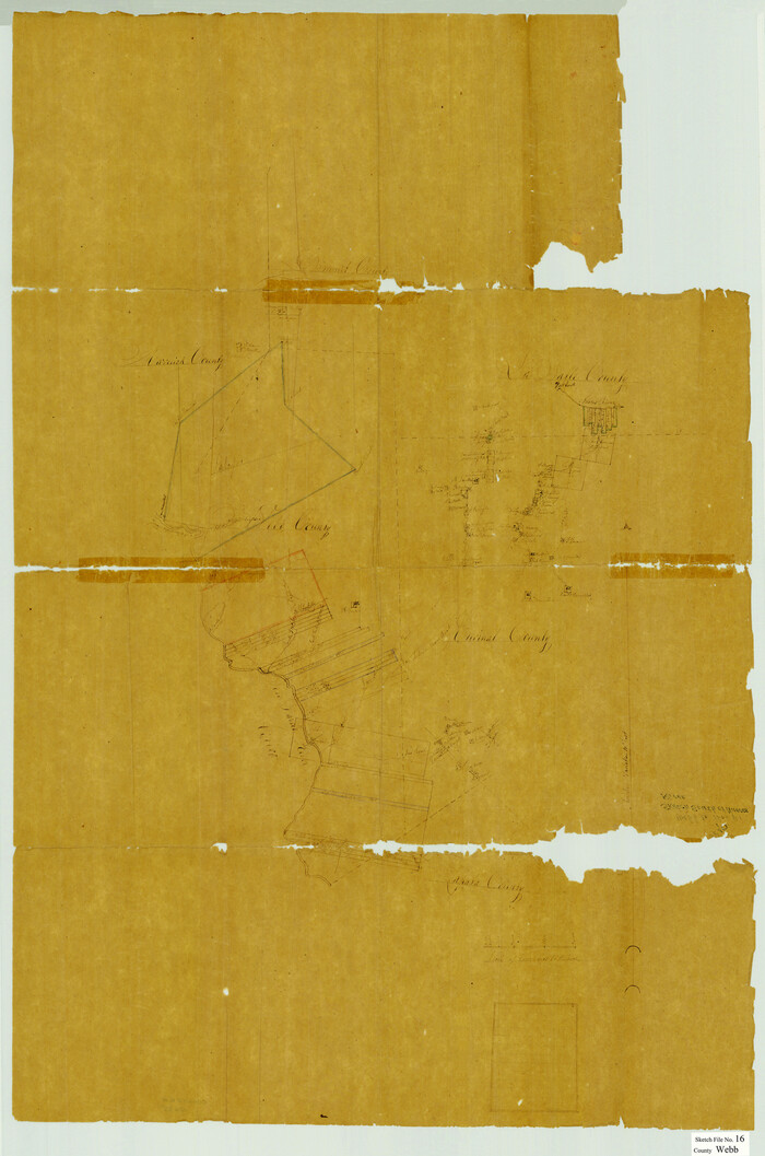
Webb County Sketch File 16

Print $20.00
- Digital $50.00
Webb County Sketch File 16
Size 37.1 x 24.5 inches
Map/Doc 12635
Hopkins County Sketch File 26


Print $4.00
- Digital $50.00
Hopkins County Sketch File 26
Size 8.4 x 6.1 inches
Map/Doc 26736
You may also like
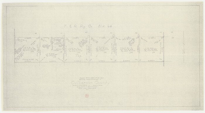
Culberson County Working Sketch 37

Print $20.00
- Digital $50.00
Culberson County Working Sketch 37
1966
Size 22.4 x 40.5 inches
Map/Doc 68490
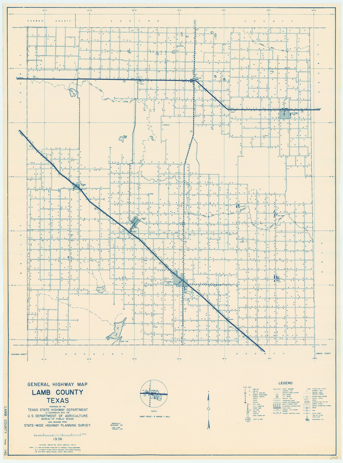
General Highway Map, Lamb County, Texas

Print $20.00
General Highway Map, Lamb County, Texas
1940
Size 24.7 x 18.3 inches
Map/Doc 79168
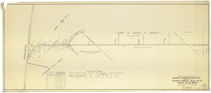
Right of Way & Track Map Houston & Brazos Valley Ry. operated by Houston & Brazos Valley Ry. Co., Hoskins Mound Branch

Print $40.00
- Digital $50.00
Right of Way & Track Map Houston & Brazos Valley Ry. operated by Houston & Brazos Valley Ry. Co., Hoskins Mound Branch
1924
Size 25.0 x 56.7 inches
Map/Doc 66713
Archer County Sketch File 21


Print $40.00
- Digital $50.00
Archer County Sketch File 21
Size 30.3 x 19.8 inches
Map/Doc 10830
Flight Mission No. BRA-8M, Frame 132, Jefferson County
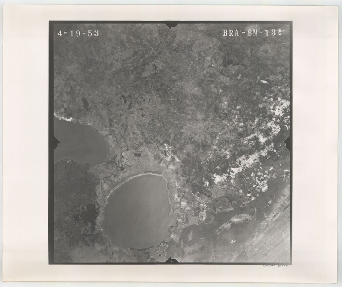

Print $20.00
- Digital $50.00
Flight Mission No. BRA-8M, Frame 132, Jefferson County
1953
Size 18.7 x 22.3 inches
Map/Doc 85628
Colorado County
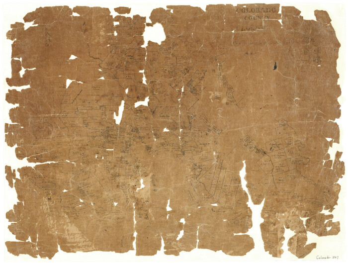

Print $20.00
- Digital $50.00
Colorado County
1847
Size 23.7 x 31.4 inches
Map/Doc 3424
Titus County Sketch File 6
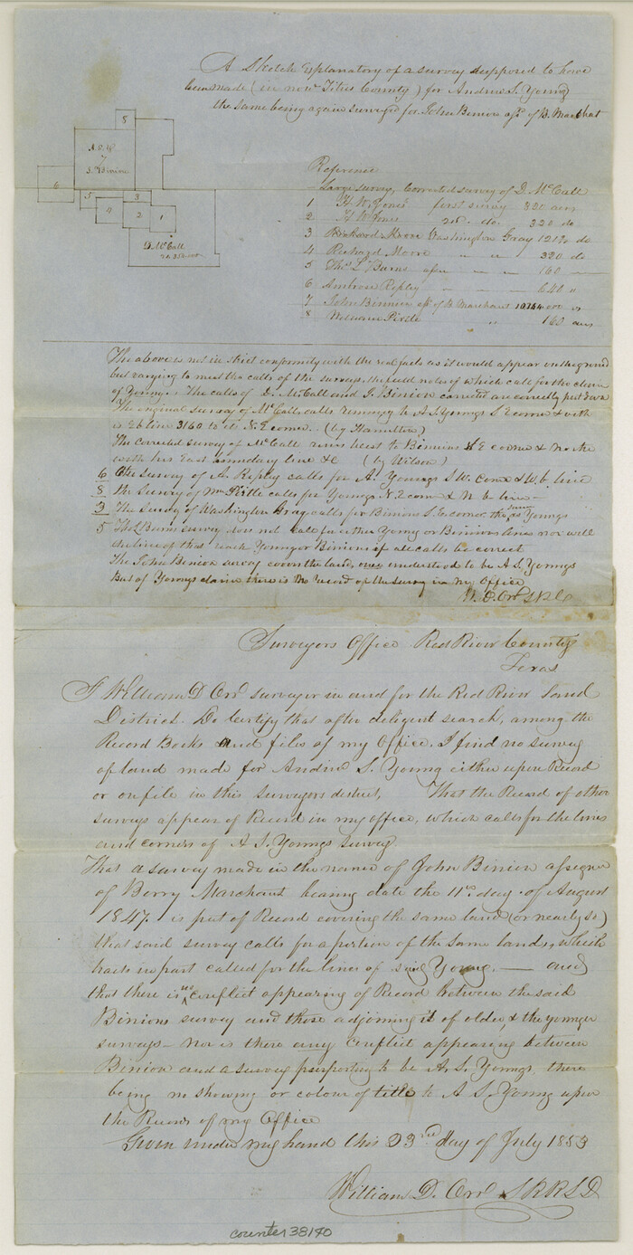

Print $6.00
- Digital $50.00
Titus County Sketch File 6
1853
Size 16.5 x 8.3 inches
Map/Doc 38140
Andrews County


Print $40.00
- Digital $50.00
Andrews County
1951
Size 43.7 x 55.4 inches
Map/Doc 95416
Armstrong County Sketch File A-8
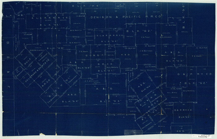

Print $80.00
- Digital $50.00
Armstrong County Sketch File A-8
Size 21.3 x 33.2 inches
Map/Doc 10850
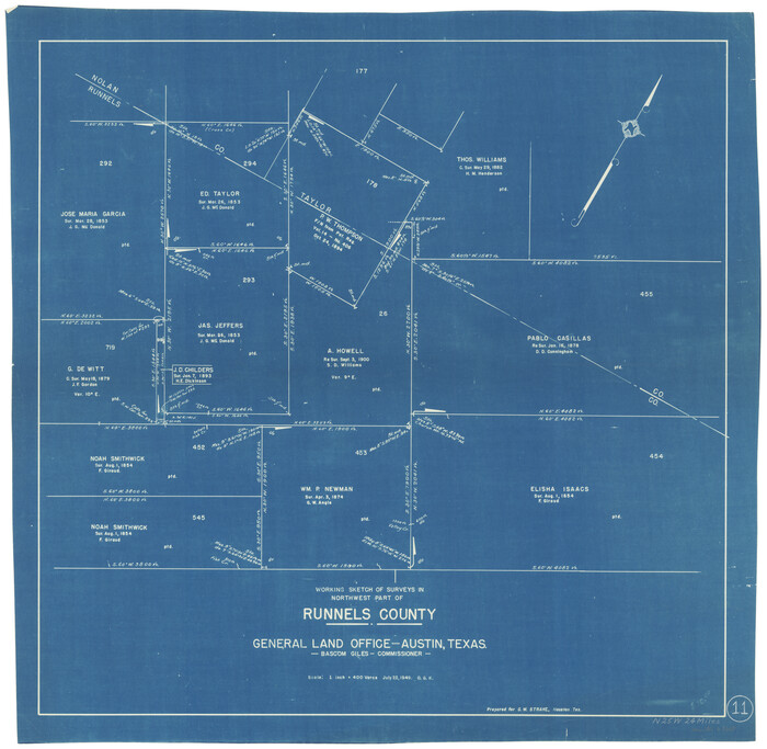
Runnels County Working Sketch 11

Print $20.00
- Digital $50.00
Runnels County Working Sketch 11
1949
Size 24.6 x 25.2 inches
Map/Doc 63607
Red River County Working Sketch 29


Print $20.00
- Digital $50.00
Red River County Working Sketch 29
1961
Size 29.5 x 33.3 inches
Map/Doc 72012
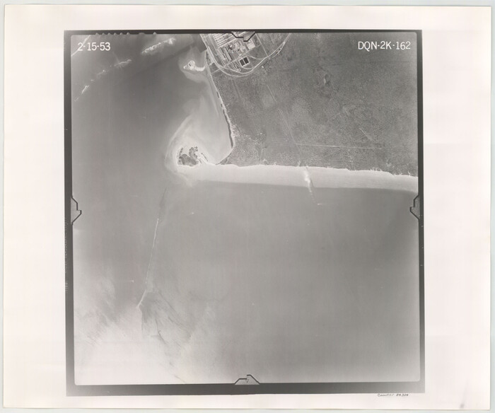
Flight Mission No. DQN-2K, Frame 162, Calhoun County

Print $20.00
- Digital $50.00
Flight Mission No. DQN-2K, Frame 162, Calhoun County
1953
Size 18.5 x 22.2 inches
Map/Doc 84324
![78359, [Map of Jackson County], General Map Collection](https://historictexasmaps.com/wmedia_w1800h1800/maps/78359.tif.jpg)