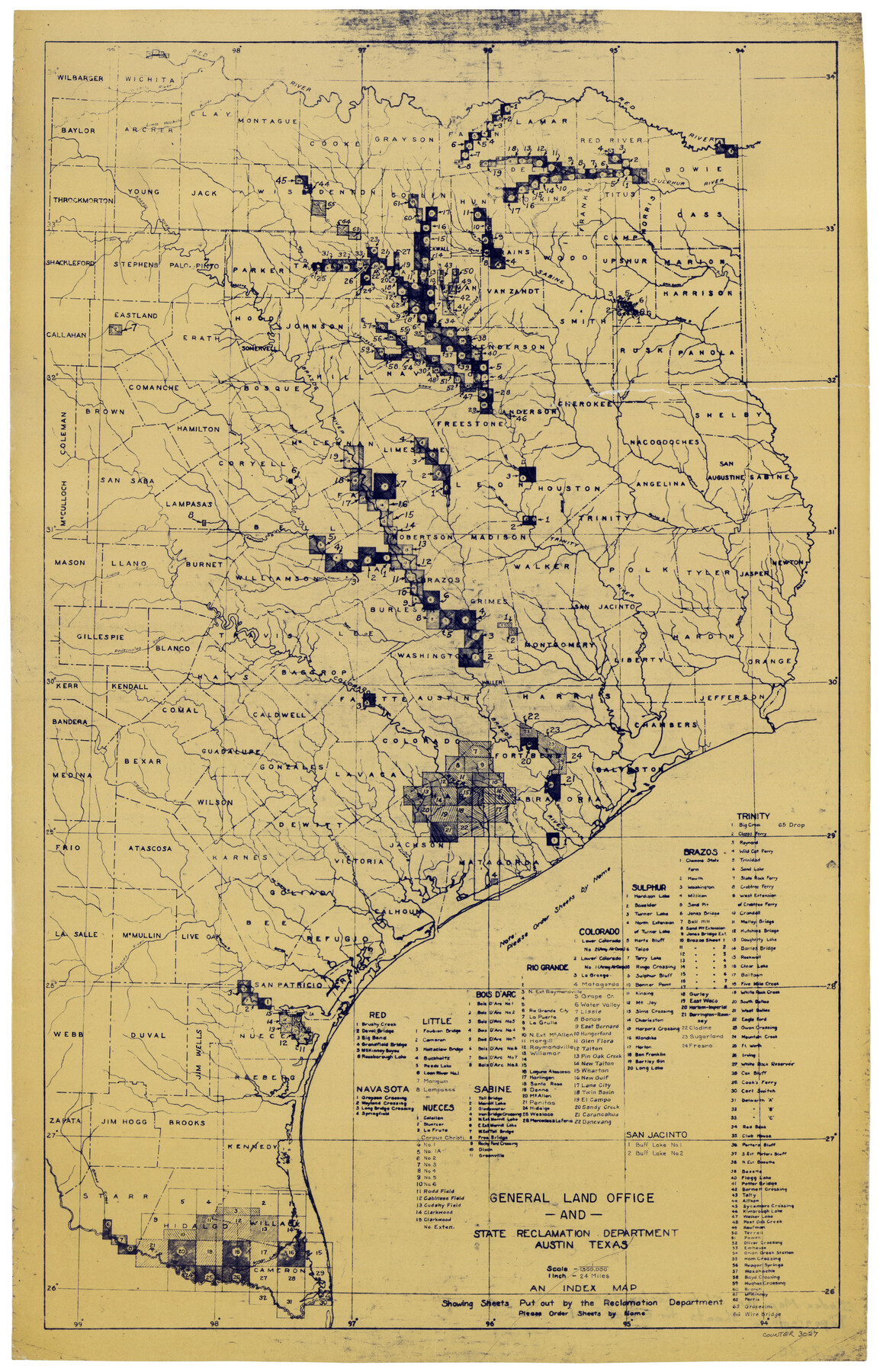
General Land Office and State Reclamation Department - An Index Map
K-7-36
-
Map/Doc
3027
-
Collection
General Map Collection
-
Object Dates
1930 (Creation Date)
-
People and Organizations
State Reclamation Department (Author)
-
Subjects
River Surveys Topographic
-
Height x Width
25.8 x 16.4 inches
65.5 x 41.7 cm
Part of: General Map Collection
Map of Harris County

Print $20.00
- Digital $50.00
Map of Harris County
1893
Size 29.7 x 33.8 inches
Map/Doc 3632
San Antonio & Surrounding Area

San Antonio & Surrounding Area
1997
Size 36.4 x 46.3 inches
Map/Doc 96867
Current Miscellaneous File 99

Print $32.00
- Digital $50.00
Current Miscellaneous File 99
1984
Size 11.2 x 8.7 inches
Map/Doc 74340
Flight Mission No. BRE-1P, Frame 50, Nueces County

Print $20.00
- Digital $50.00
Flight Mission No. BRE-1P, Frame 50, Nueces County
1956
Size 18.5 x 22.3 inches
Map/Doc 86639
Van Zandt County

Print $20.00
- Digital $50.00
Van Zandt County
1870
Size 22.8 x 21.1 inches
Map/Doc 4638
Kent County Boundary File 1

Print $54.00
- Digital $50.00
Kent County Boundary File 1
Size 14.2 x 8.5 inches
Map/Doc 55795
Blanco County Working Sketch 16

Print $20.00
- Digital $50.00
Blanco County Working Sketch 16
1951
Size 22.2 x 19.5 inches
Map/Doc 67376
Stonewall County

Print $20.00
- Digital $50.00
Stonewall County
1902
Size 39.6 x 38.5 inches
Map/Doc 63049
Mills County Sketch File 1A

Print $20.00
- Digital $50.00
Mills County Sketch File 1A
1852
Size 33.6 x 20.1 inches
Map/Doc 12092
Stonewall County Working Sketch 28

Print $20.00
- Digital $50.00
Stonewall County Working Sketch 28
1976
Size 34.5 x 39.2 inches
Map/Doc 62335
Bowie County Working Sketch 22

Print $40.00
- Digital $50.00
Bowie County Working Sketch 22
1968
Size 49.0 x 37.8 inches
Map/Doc 67426
Polk County Sketch File 29a

Print $4.00
- Digital $50.00
Polk County Sketch File 29a
Size 12.1 x 8.2 inches
Map/Doc 34202
You may also like
Fisher County Sketch File 15a

Print $10.00
- Digital $50.00
Fisher County Sketch File 15a
1901
Size 7.6 x 9.0 inches
Map/Doc 22578
America Septentrionalis

Print $20.00
- Digital $50.00
America Septentrionalis
1646
Size 20.0 x 23.4 inches
Map/Doc 93817
Galveston County NRC Article 33.136 Sketch 36

Print $28.00
- Digital $50.00
Galveston County NRC Article 33.136 Sketch 36
2005
Size 24.5 x 36.6 inches
Map/Doc 83409
Laneer vs. Bivins, Potter County, Texas

Print $20.00
- Digital $50.00
Laneer vs. Bivins, Potter County, Texas
Size 21.2 x 18.8 inches
Map/Doc 93100
Flight Mission No. CUG-1P, Frame 81, Kleberg County

Print $20.00
- Digital $50.00
Flight Mission No. CUG-1P, Frame 81, Kleberg County
1956
Size 18.5 x 22.2 inches
Map/Doc 86146
General Highway Map, Edwards County, Real County, Texas

Print $20.00
General Highway Map, Edwards County, Real County, Texas
1961
Size 18.1 x 24.7 inches
Map/Doc 79452
Terrell County Rolled Sketch 37

Print $20.00
- Digital $50.00
Terrell County Rolled Sketch 37
1940
Size 23.8 x 33.3 inches
Map/Doc 7941
Hamilton County Rolled Sketch 11

Print $20.00
- Digital $50.00
Hamilton County Rolled Sketch 11
Size 20.1 x 14.1 inches
Map/Doc 6060
Current Miscellaneous File 118

Print $214.00
- Digital $50.00
Current Miscellaneous File 118
Map/Doc 87238
Duval County Sketch File 41

Print $20.00
- Digital $50.00
Duval County Sketch File 41
1936
Size 19.6 x 17.2 inches
Map/Doc 11397
[West Half of Potter County, South of River and West Half of Randall County]
![91828, [West Half of Potter County, South of River and West Half of Randall County], Twichell Survey Records](https://historictexasmaps.com/wmedia_w700/maps/91828.tif.jpg)
Print $20.00
- Digital $50.00
[West Half of Potter County, South of River and West Half of Randall County]
Size 25.9 x 43.0 inches
Map/Doc 91828
Map of Tom Green County

Print $40.00
- Digital $50.00
Map of Tom Green County
1892
Size 43.2 x 48.3 inches
Map/Doc 63070