Austin Old and New, a Mapguide to the Heart of the City including Capitol Complex & Government Buildings, Downtown Streets and Buildings, the University of Texas, Historical Sites, Parks & Trails, Sixth Street, Town Lake, Museums
[Verso - directory of places]
-
Map/Doc
94380
-
Collection
General Map Collection
-
Object Dates
1984 (Copyright Date)
-
People and Organizations
Treaty Oak Press (Publisher)
-
Counties
Travis
-
Subjects
City
-
Height x Width
25.4 x 31.2 inches
64.5 x 79.3 cm
-
Medium
paper, etching/engraving/lithograph
-
Comments
For map of Austin on recto, see 94379. For research only.
Related maps
Austin Old and New, a Mapguide to the Heart of the City including Capitol Complex & Government Buildings, Downtown Streets and Buildings, the University of Texas, Historical Sites, Parks & Trails, Sixth Street, Town Lake, Museums


Austin Old and New, a Mapguide to the Heart of the City including Capitol Complex & Government Buildings, Downtown Streets and Buildings, the University of Texas, Historical Sites, Parks & Trails, Sixth Street, Town Lake, Museums
Size 25.4 x 31.3 inches
Map/Doc 94379
Part of: General Map Collection
Kendall County Working Sketch 9
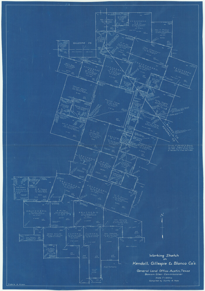

Print $40.00
- Digital $50.00
Kendall County Working Sketch 9
1953
Size 52.8 x 37.2 inches
Map/Doc 66681
Val Verde County Rolled Sketch 80
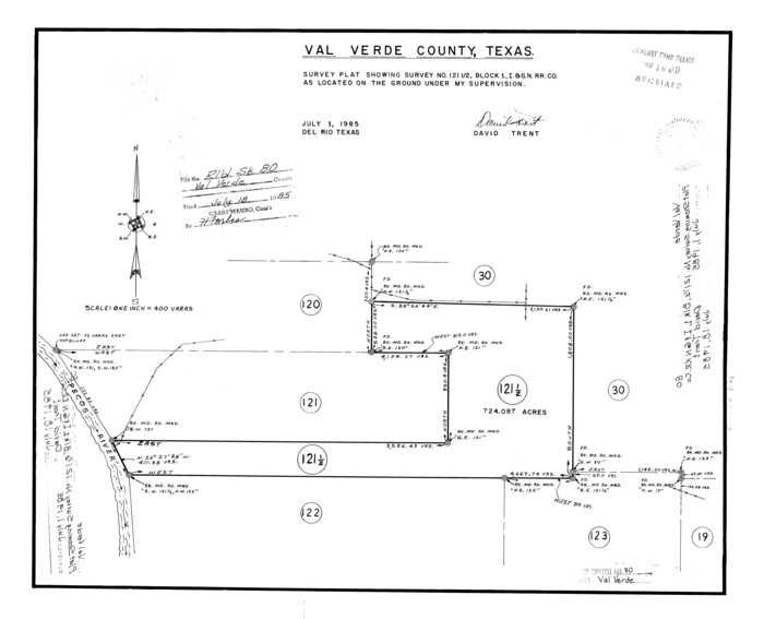

Print $20.00
- Digital $50.00
Val Verde County Rolled Sketch 80
1985
Size 16.3 x 20.1 inches
Map/Doc 8142
Calhoun County Sketch File 10
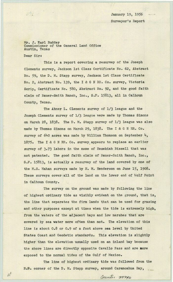

Print $11.00
- Digital $50.00
Calhoun County Sketch File 10
1956
Size 14.3 x 8.8 inches
Map/Doc 35940
Nueces County Rolled Sketch 75
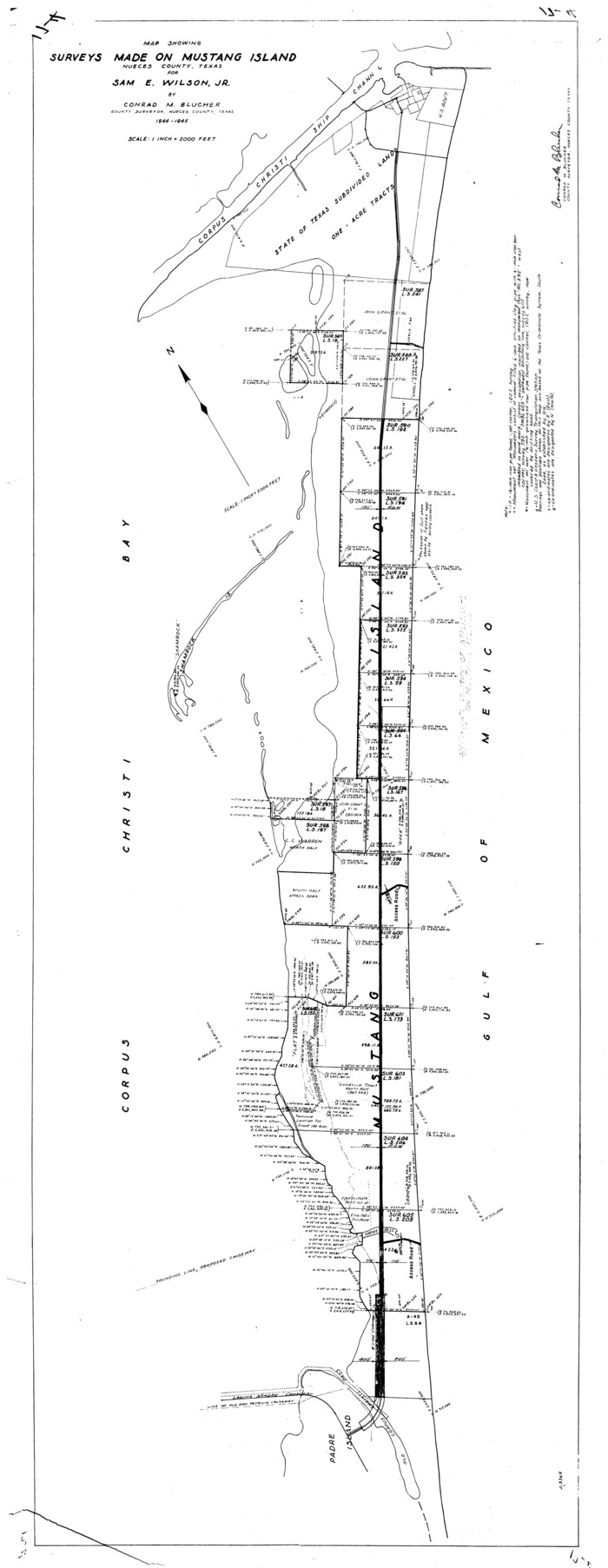

Print $40.00
- Digital $50.00
Nueces County Rolled Sketch 75
1945
Size 56.0 x 24.0 inches
Map/Doc 9618
Terrell County Working Sketch 84a


Print $20.00
- Digital $50.00
Terrell County Working Sketch 84a
1992
Size 34.5 x 37.0 inches
Map/Doc 69605
Titus County Working Sketch Graphic Index
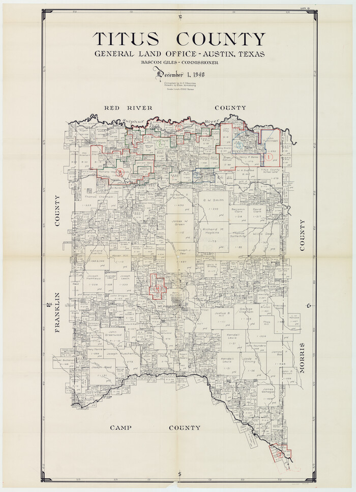

Print $20.00
- Digital $50.00
Titus County Working Sketch Graphic Index
1948
Size 40.2 x 29.0 inches
Map/Doc 76714
Rusk County Sketch File 27B
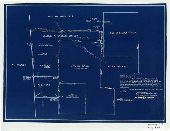

Print $20.00
Rusk County Sketch File 27B
1936
Size 15.4 x 19.9 inches
Map/Doc 12273
Pecos County Rolled Sketch 30
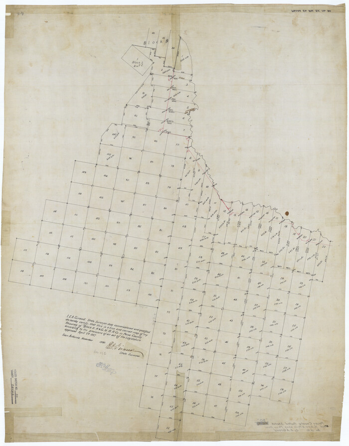

Print $20.00
- Digital $50.00
Pecos County Rolled Sketch 30
1890
Size 39.2 x 30.7 inches
Map/Doc 9691
Flight Mission No. DCL-7C, Frame 29, Kenedy County

Print $20.00
- Digital $50.00
Flight Mission No. DCL-7C, Frame 29, Kenedy County
1943
Size 15.3 x 15.2 inches
Map/Doc 86021
Map of Starr County Texas


Print $20.00
- Digital $50.00
Map of Starr County Texas
1935
Size 20.2 x 26.8 inches
Map/Doc 4047
Railroad Track Map, H&TCRRCo., Falls County, Texas
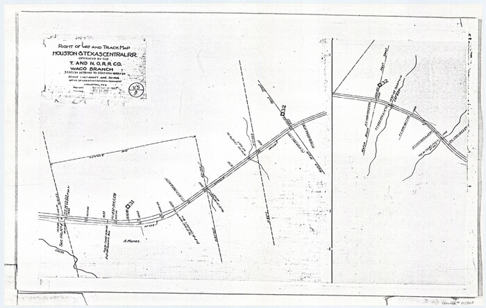

Print $4.00
- Digital $50.00
Railroad Track Map, H&TCRRCo., Falls County, Texas
1918
Size 11.7 x 18.5 inches
Map/Doc 62843
Live Oak County Sketch File 8


Print $4.00
- Digital $50.00
Live Oak County Sketch File 8
1875
Size 7.6 x 7.9 inches
Map/Doc 30261
You may also like
Clay County Sketch File 12


Print $4.00
- Digital $50.00
Clay County Sketch File 12
1873
Size 13.0 x 8.2 inches
Map/Doc 18411
Runnels County Sketch File 29


Print $20.00
Runnels County Sketch File 29
1950
Size 23.8 x 18.0 inches
Map/Doc 12261
Starr County Sketch File 47
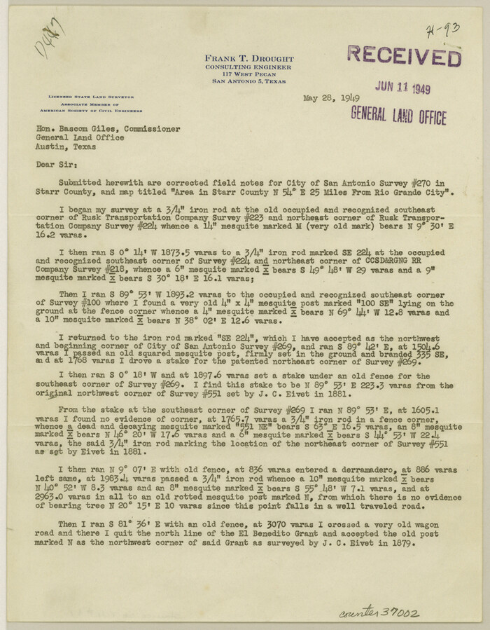

Print $6.00
- Digital $50.00
Starr County Sketch File 47
1949
Size 11.2 x 8.8 inches
Map/Doc 37002
Collin County Sketch File 9


Print $4.00
- Digital $50.00
Collin County Sketch File 9
1878
Size 8.3 x 10.1 inches
Map/Doc 18870
Flight Mission No. CGN-3P, Frame 24, San Patricio County


Print $20.00
- Digital $50.00
Flight Mission No. CGN-3P, Frame 24, San Patricio County
1956
Size 18.5 x 22.3 inches
Map/Doc 86982
Pecos County Rolled Sketch 146A

Print $37.00
- Digital $50.00
Pecos County Rolled Sketch 146A
1957
Size 10.4 x 15.2 inches
Map/Doc 48396
Caney Cr. of East San Jacinto


Print $2.00
- Digital $50.00
Caney Cr. of East San Jacinto
Size 5.3 x 6.7 inches
Map/Doc 69745
United States of America corrected & improved from the best authorities
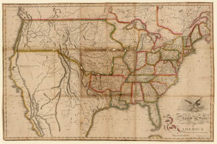

Print $20.00
- Digital $50.00
United States of America corrected & improved from the best authorities
1820
Size 17.5 x 26.3 inches
Map/Doc 93953
Edwards County Rolled Sketch 24
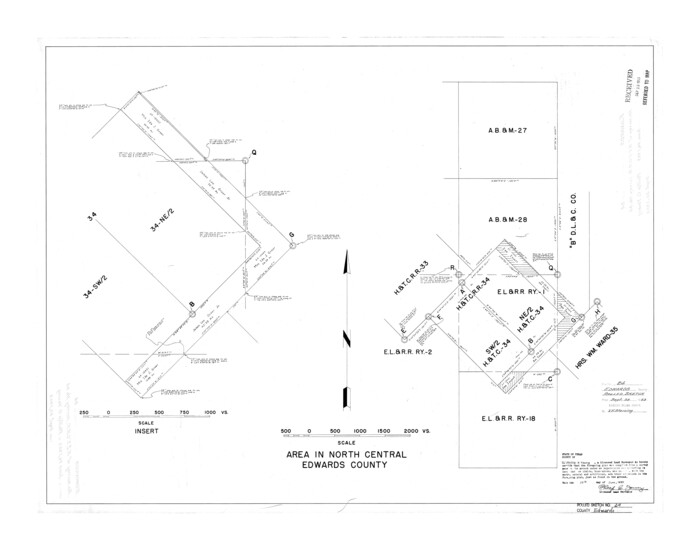

Print $20.00
- Digital $50.00
Edwards County Rolled Sketch 24
1953
Size 29.9 x 38.0 inches
Map/Doc 5810
Plot of land tracts situated in Austin Co. west of Mill Creek opposite and above the fork of the same


Print $2.00
- Digital $50.00
Plot of land tracts situated in Austin Co. west of Mill Creek opposite and above the fork of the same
1845
Size 7.7 x 8.1 inches
Map/Doc 224
Leon County Sketch File 9a
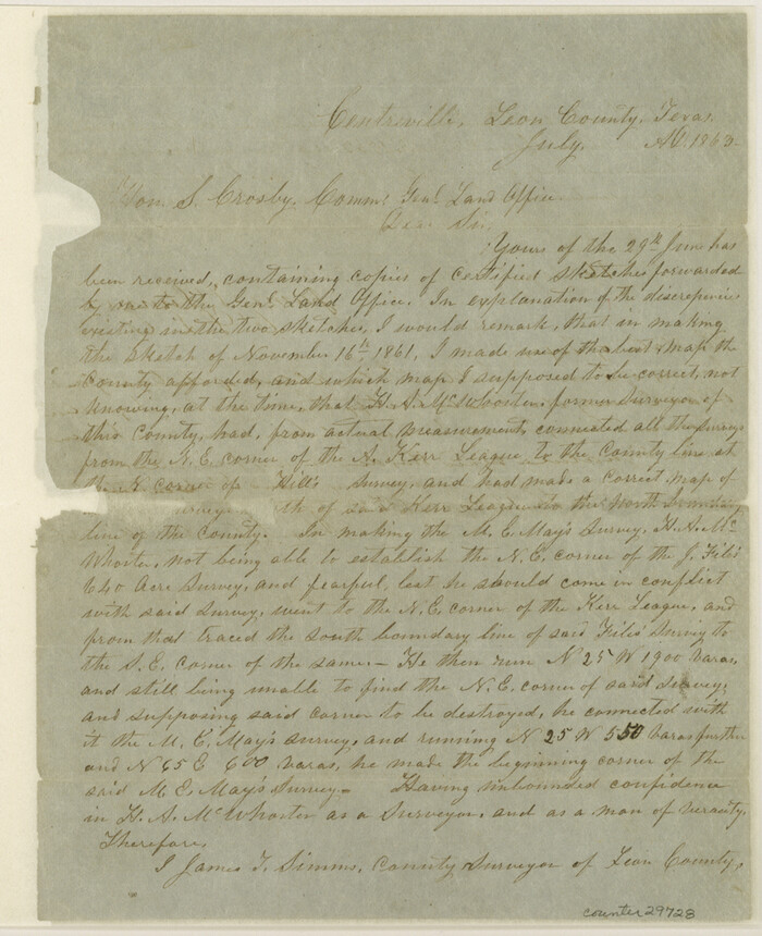

Print $6.00
- Digital $50.00
Leon County Sketch File 9a
1863
Size 10.5 x 8.6 inches
Map/Doc 29728
Briscoe County Working Sketch Graphic Index
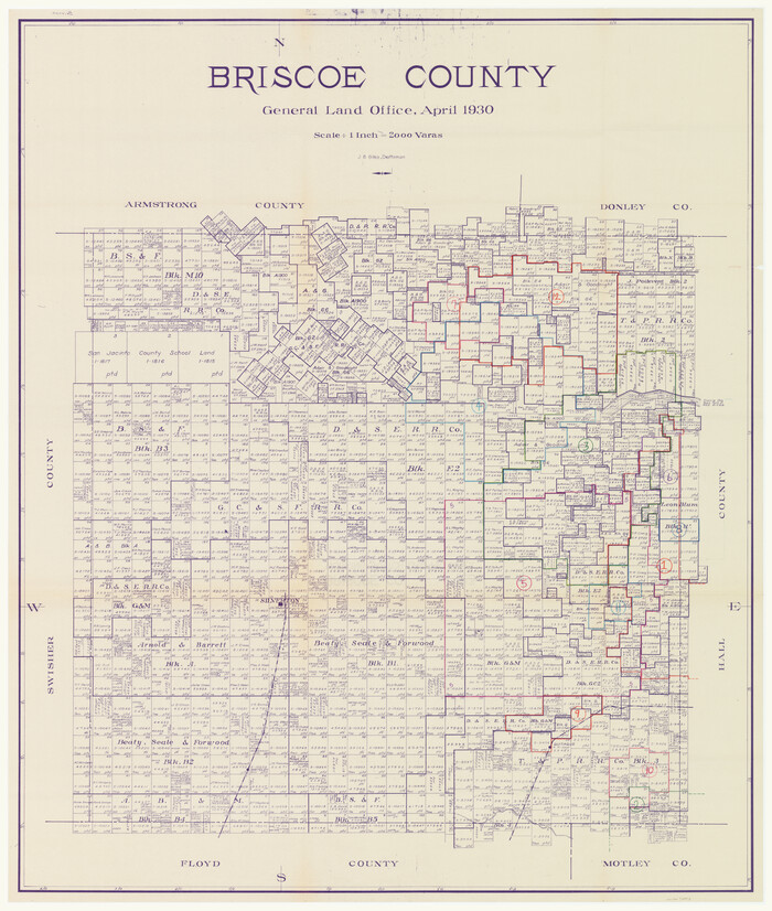

Print $20.00
- Digital $50.00
Briscoe County Working Sketch Graphic Index
1930
Size 43.8 x 37.4 inches
Map/Doc 76478
