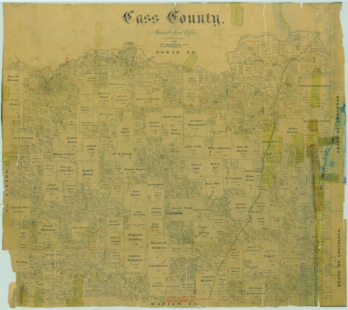
Fractional Township No. 8 South Range No. 19 East of the Indian Meridian, Indian Territory
-
Map/Doc
75234
-
Collection
General Map Collection
-
Object Dates
1897/2/5 (Creation Date)
-
Subjects
Texas Boundaries
-
Height x Width
19.1 x 24.2 inches
48.5 x 61.5 cm
Part of: General Map Collection
Travis County Sketch File 24

Print $4.00
- Digital $50.00
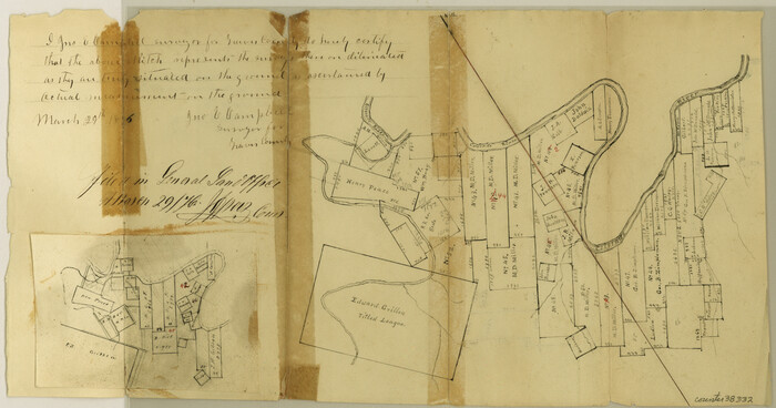
Travis County Sketch File 24
1876
Size 8.1 x 15.4 inches
Map/Doc 38332
Hall County Rolled Sketch C

Print $20.00
- Digital $50.00
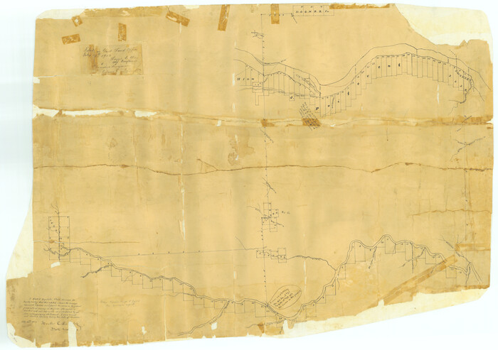
Hall County Rolled Sketch C
1902
Size 32.7 x 46.4 inches
Map/Doc 76023
Bosque County Working Sketch 14

Print $20.00
- Digital $50.00
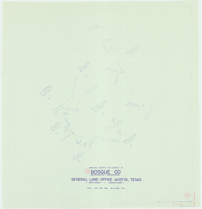
Bosque County Working Sketch 14
1962
Size 24.1 x 23.3 inches
Map/Doc 67447
Guadalupe County Sketch File 2
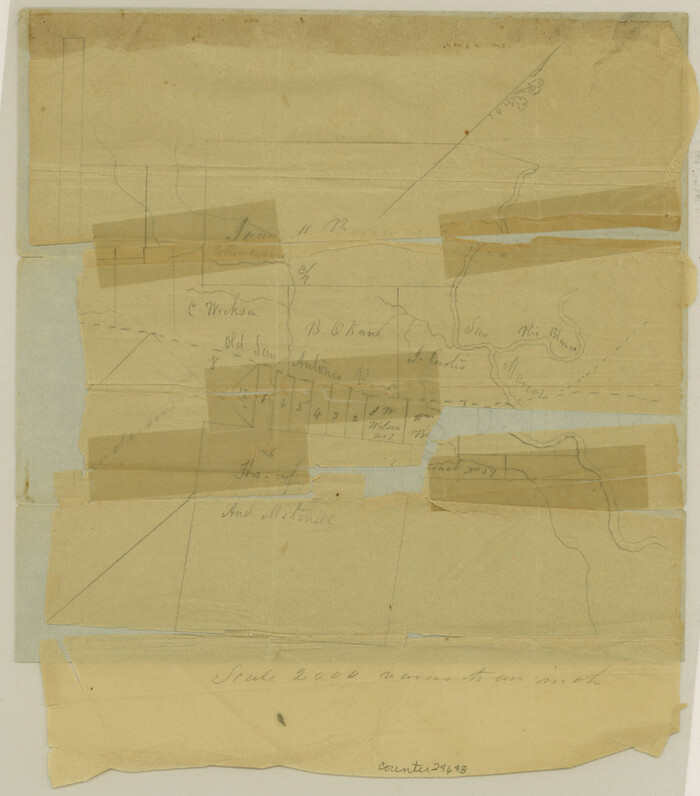

Print $4.00
- Digital $50.00
Guadalupe County Sketch File 2
1848
Size 9.4 x 8.3 inches
Map/Doc 24648
Goliad County Working Sketch 19
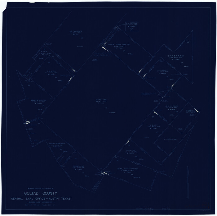

Print $20.00
- Digital $50.00
Goliad County Working Sketch 19
1954
Size 31.5 x 31.8 inches
Map/Doc 63209
Angelina County Sketch File 2


Print $2.00
- Digital $50.00
Angelina County Sketch File 2
Size 8.6 x 6.0 inches
Map/Doc 12921
Armstrong County Sketch File A-8
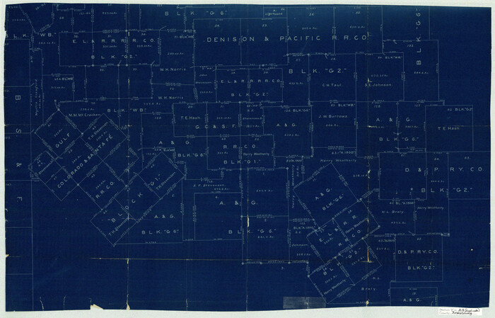

Print $80.00
- Digital $50.00
Armstrong County Sketch File A-8
Size 21.3 x 33.2 inches
Map/Doc 10850
Live Oak County Sketch File 15


Print $4.00
- Digital $50.00
Live Oak County Sketch File 15
Size 12.6 x 8.1 inches
Map/Doc 30280
Dawson County Sketch File 1


Print $6.00
- Digital $50.00
Dawson County Sketch File 1
Size 7.5 x 3.9 inches
Map/Doc 20495
Falls County Sketch File 22
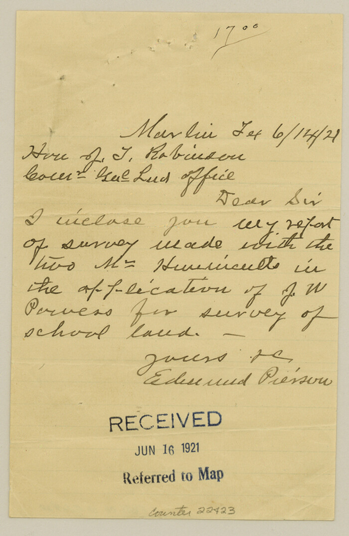

Print $10.00
- Digital $50.00
Falls County Sketch File 22
1921
Size 8.3 x 5.4 inches
Map/Doc 22423
Flight Mission No. CUG-3P, Frame 18, Kleberg County
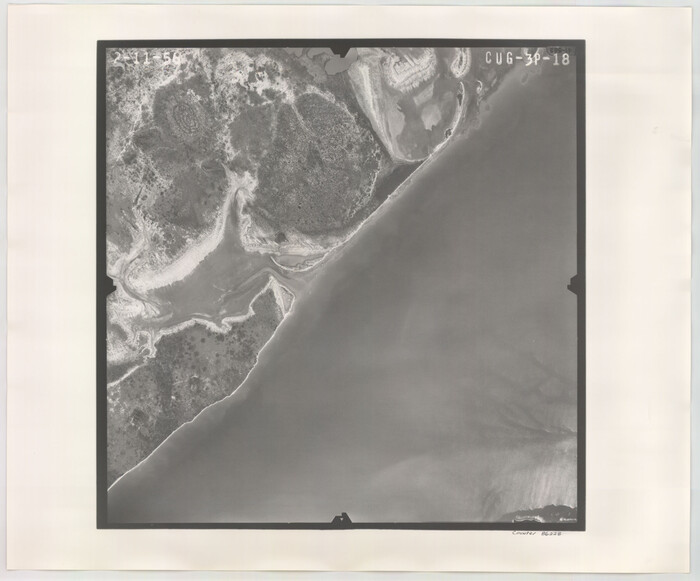

Print $20.00
- Digital $50.00
Flight Mission No. CUG-3P, Frame 18, Kleberg County
1956
Size 18.5 x 22.3 inches
Map/Doc 86228
You may also like
Map of the United States of America for Goddard's "Where to Emigrate and Why"
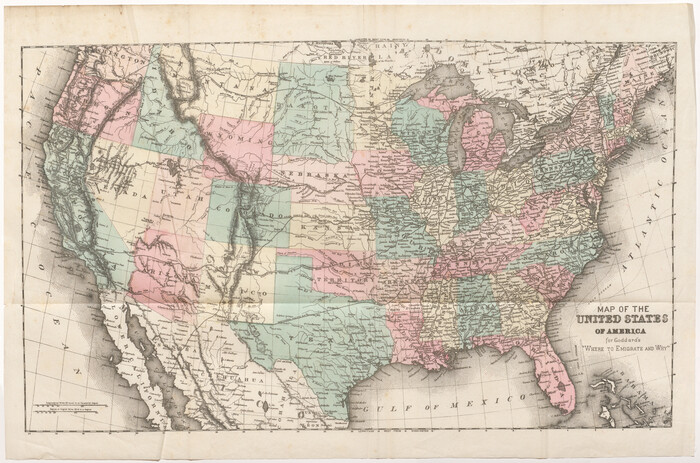

Print $20.00
- Digital $50.00
Map of the United States of America for Goddard's "Where to Emigrate and Why"
1869
Size 12.4 x 18.8 inches
Map/Doc 96619
Menard County Working Sketch 8
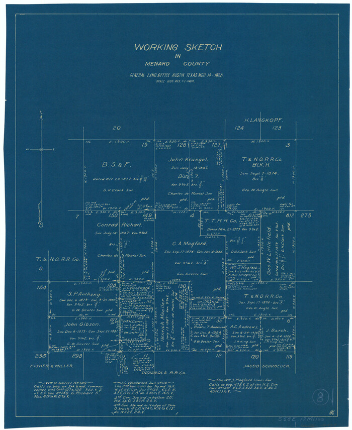

Print $20.00
- Digital $50.00
Menard County Working Sketch 8
1928
Size 19.2 x 15.7 inches
Map/Doc 70955
Concho County Working Sketch 4
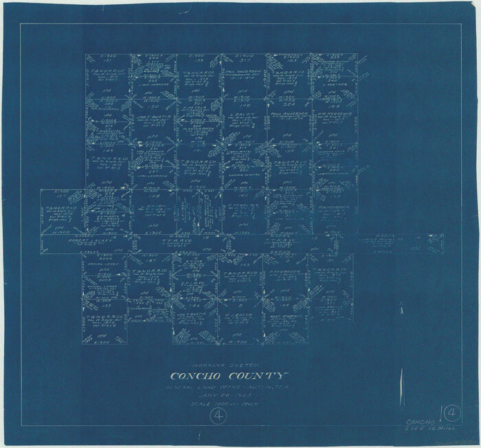

Print $20.00
- Digital $50.00
Concho County Working Sketch 4
1925
Size 18.8 x 20.2 inches
Map/Doc 68186
Harris County Working Sketch 92


Print $40.00
- Digital $50.00
Harris County Working Sketch 92
1974
Size 31.7 x 55.4 inches
Map/Doc 65984
Brewster County Rolled Sketch 81
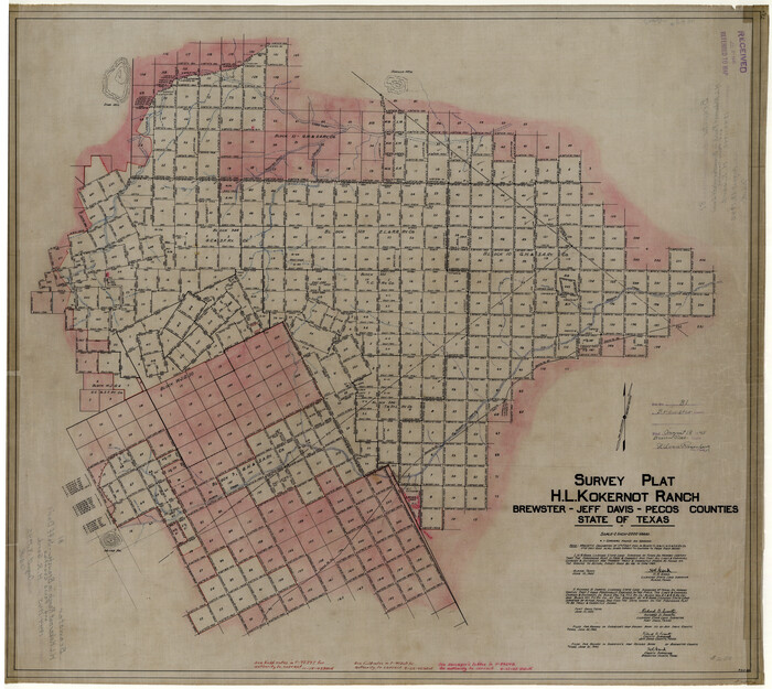

Print $20.00
- Digital $50.00
Brewster County Rolled Sketch 81
1945
Size 30.8 x 33.9 inches
Map/Doc 8494
Uvalde County Working Sketch 1
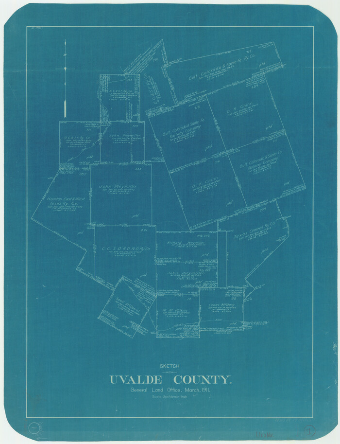

Print $20.00
- Digital $50.00
Uvalde County Working Sketch 1
1911
Size 27.3 x 21.0 inches
Map/Doc 72071
Brazoria County Sketch File 36
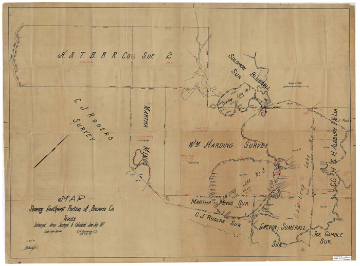

Print $40.00
- Digital $50.00
Brazoria County Sketch File 36
1933
Size 34.6 x 45.6 inches
Map/Doc 10325
Carta Agricola


Print $20.00
- Digital $50.00
Carta Agricola
1897
Size 26.0 x 34.3 inches
Map/Doc 96804
Hays County Rolled Sketch 20A
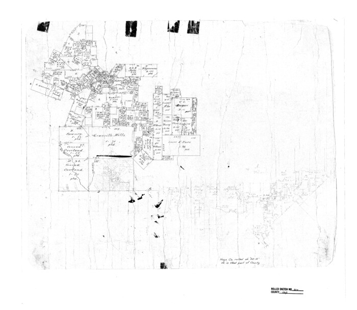

Print $20.00
- Digital $50.00
Hays County Rolled Sketch 20A
Size 20.7 x 23.9 inches
Map/Doc 6177
Sterling County Sketch File 7
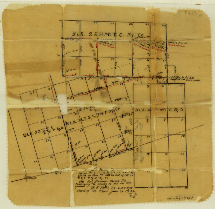

Print $25.00
- Digital $50.00
Sterling County Sketch File 7
1926
Size 11.7 x 12.1 inches
Map/Doc 37121
Parker County Working Sketch 7
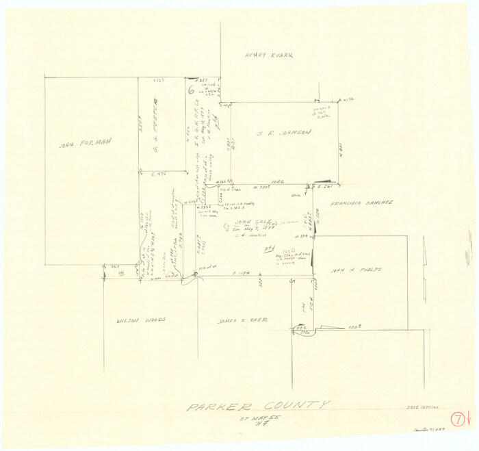

Print $20.00
- Digital $50.00
Parker County Working Sketch 7
1955
Map/Doc 71457
Wilson County Working Sketch 11


Print $20.00
- Digital $50.00
Wilson County Working Sketch 11
1980
Size 14.4 x 13.1 inches
Map/Doc 72591

