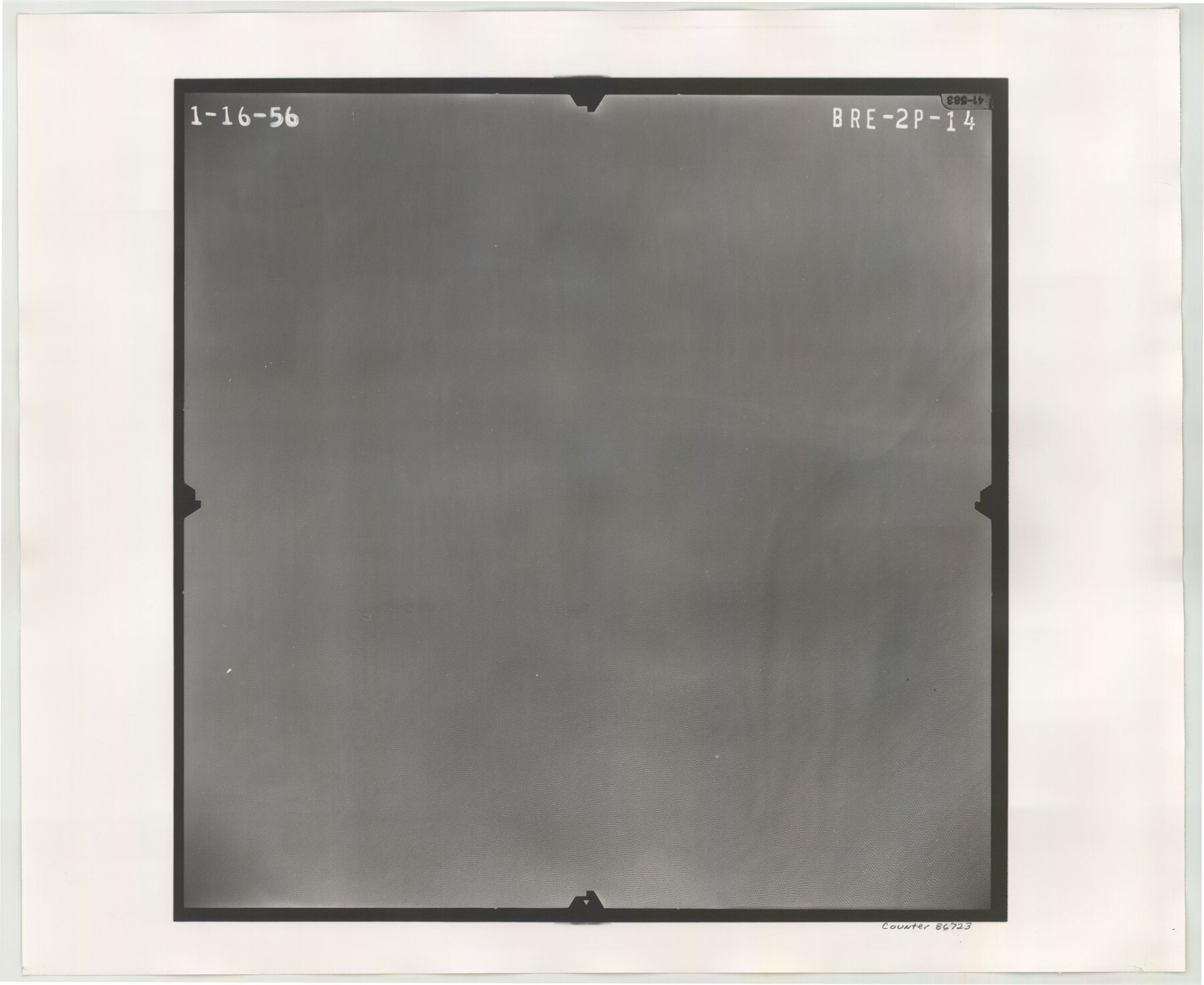
Flight Mission No. BRE-2P, Frame 14, Nueces County
BRE-2P-14
-
Map/Doc
86723
-
Collection
General Map Collection
-
Object Dates
1956/1/16 (Creation Date)
-
People and Organizations
U. S. Department of Agriculture (Publisher)
-
Counties
Nueces
-
Subjects
Aerial Photograph
-
Height x Width
18.5 x 22.6 inches
47.0 x 57.4 cm
-
Comments
Flown by V. L. Beavers and Associates of San Antonio, Texas.
Part of: General Map Collection
Crane County Working Sketch 29


Print $20.00
- Digital $50.00
Crane County Working Sketch 29
1976
Size 45.4 x 36.5 inches
Map/Doc 68306
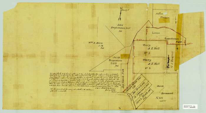
Orange County Sketch File 16

Print $20.00
- Digital $50.00
Orange County Sketch File 16
Size 18.1 x 32.8 inches
Map/Doc 12119
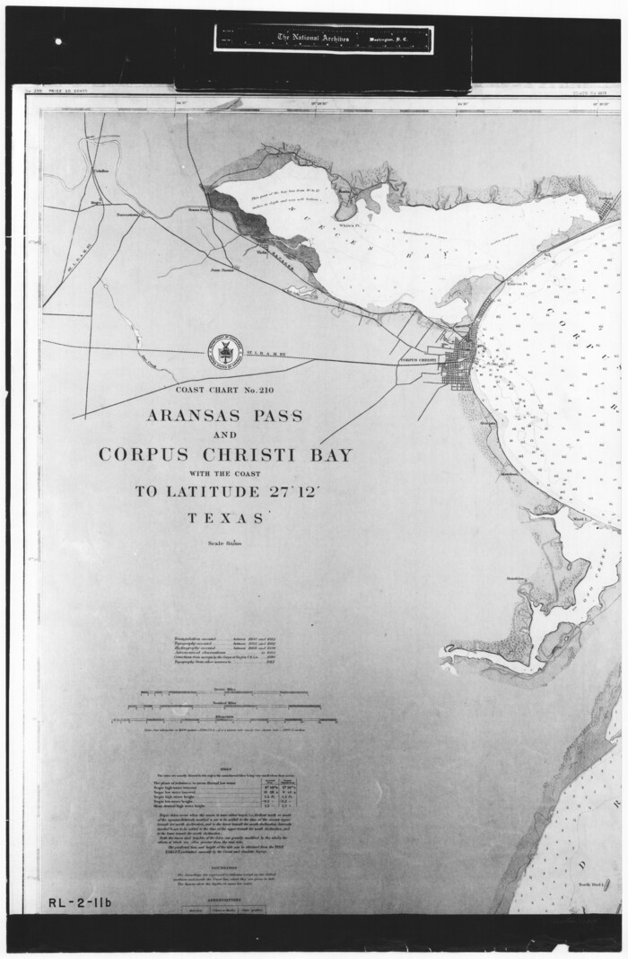
Coast Chart No. 210 Aransas Pass and Corpus Christi Bay with the coast to latitude 27° 12' Texas

Print $20.00
- Digital $50.00
Coast Chart No. 210 Aransas Pass and Corpus Christi Bay with the coast to latitude 27° 12' Texas
1913
Size 27.9 x 18.3 inches
Map/Doc 72805
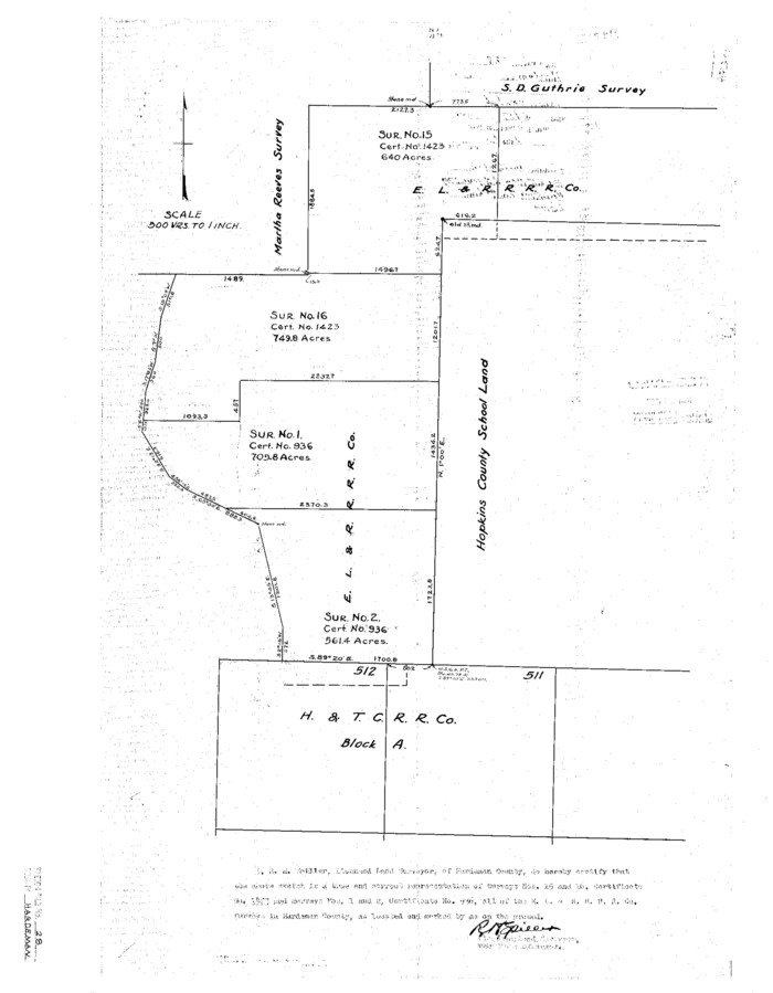
Hardeman County Sketch File 28

Print $20.00
- Digital $50.00
Hardeman County Sketch File 28
Size 22.2 x 17.3 inches
Map/Doc 11629
Flight Mission No. DQN-7K, Frame 15, Calhoun County


Print $20.00
- Digital $50.00
Flight Mission No. DQN-7K, Frame 15, Calhoun County
1953
Size 18.4 x 22.1 inches
Map/Doc 84466
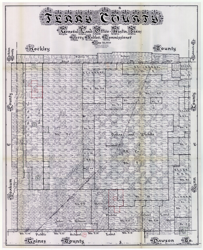
Terry County Working Sketch Graphic Index

Print $20.00
- Digital $50.00
Terry County Working Sketch Graphic Index
1970
Size 41.2 x 33.8 inches
Map/Doc 76712
Crockett County Sketch File 53


Print $10.00
- Digital $50.00
Crockett County Sketch File 53
1903
Size 11.4 x 8.9 inches
Map/Doc 19819
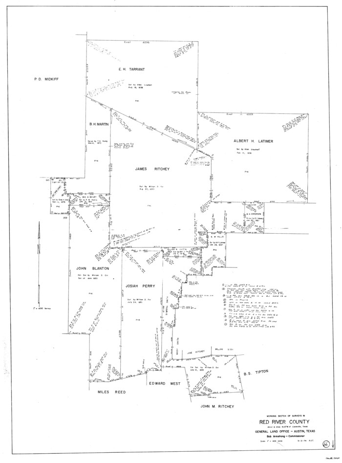
Red River County Working Sketch 66

Print $20.00
- Digital $50.00
Red River County Working Sketch 66
1974
Size 44.0 x 32.5 inches
Map/Doc 72049
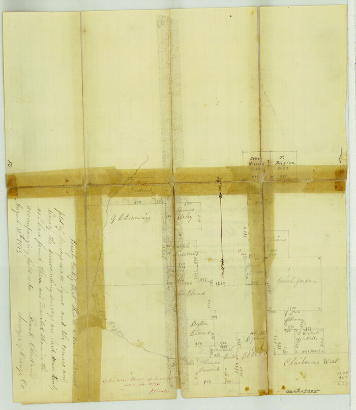
Orange County Sketch File 9b

Print $22.00
- Digital $50.00
Orange County Sketch File 9b
1873
Size 14.6 x 12.6 inches
Map/Doc 33315
Pecos County Rolled Sketch 168


Print $40.00
- Digital $50.00
Pecos County Rolled Sketch 168
Size 73.5 x 44.7 inches
Map/Doc 9748
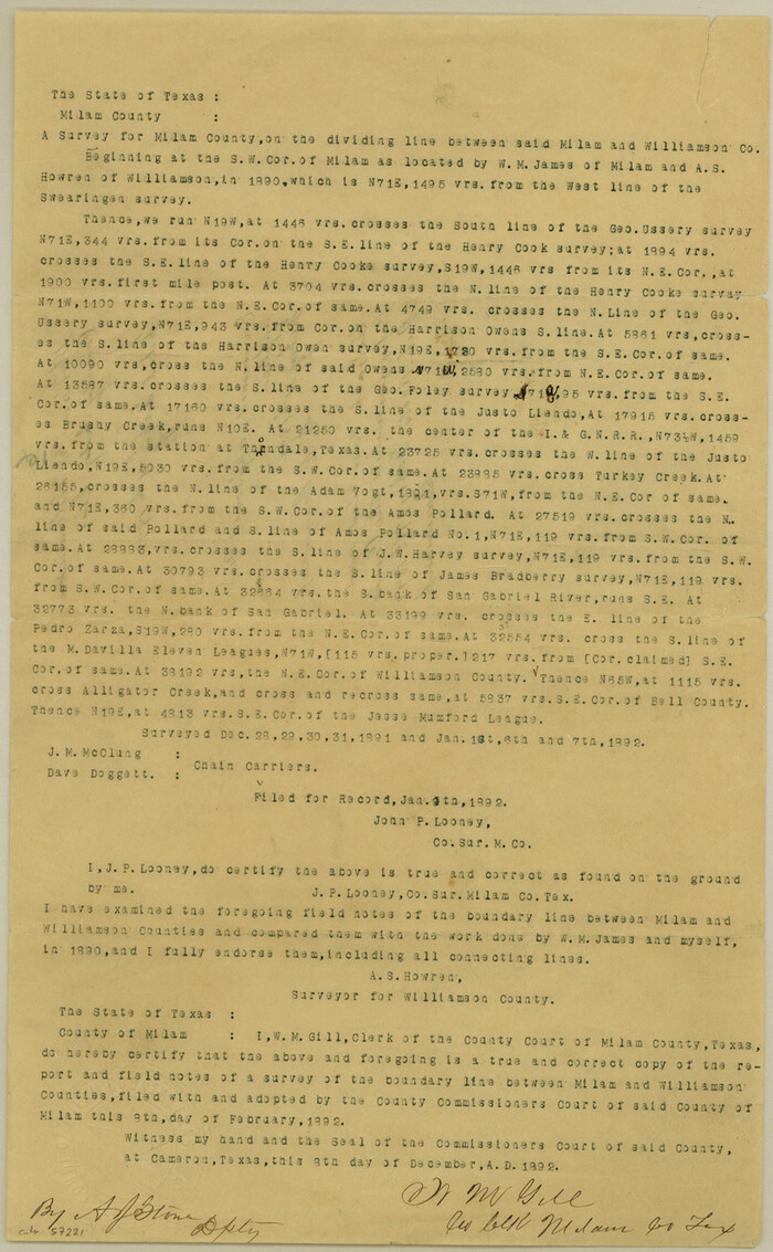
Milam County Boundary File 4

Print $4.00
- Digital $50.00
Milam County Boundary File 4
Size 13.3 x 8.2 inches
Map/Doc 57221
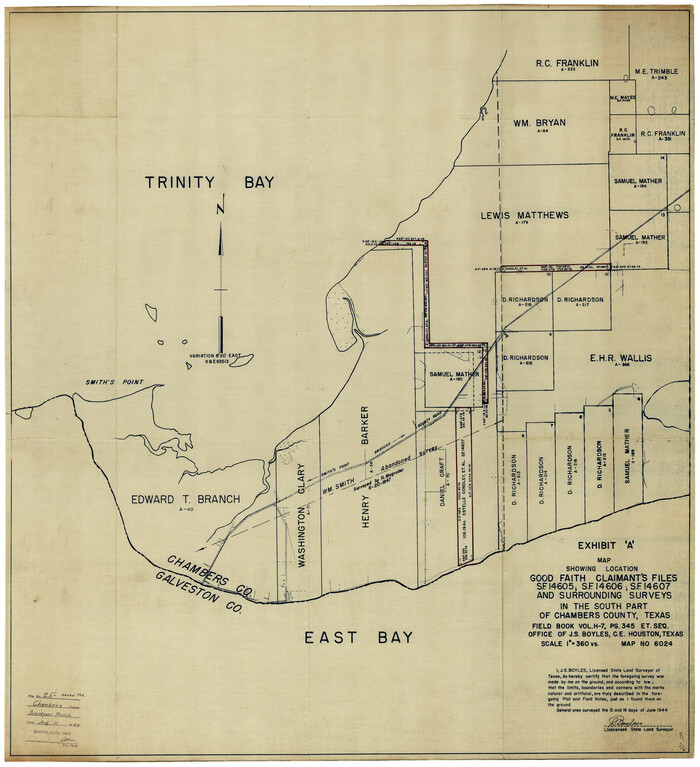
Chambers County Rolled Sketch 25

Print $20.00
- Digital $50.00
Chambers County Rolled Sketch 25
1944
Size 33.9 x 31.5 inches
Map/Doc 8618
You may also like
Atascosa County Sketch File 3

Print $14.00
- Digital $50.00
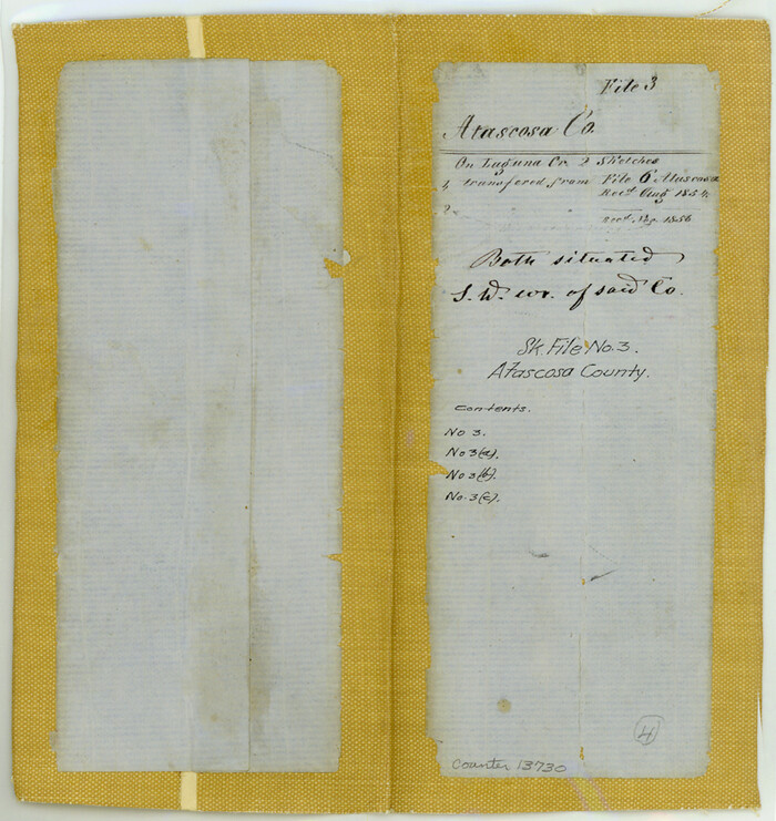
Atascosa County Sketch File 3
1854
Size 9.1 x 8.6 inches
Map/Doc 13730
Mills County Sketch File 9


Print $20.00
- Digital $50.00
Mills County Sketch File 9
Size 36.0 x 29.5 inches
Map/Doc 10544
Pecos County Rolled Sketch 56

Print $20.00
- Digital $50.00
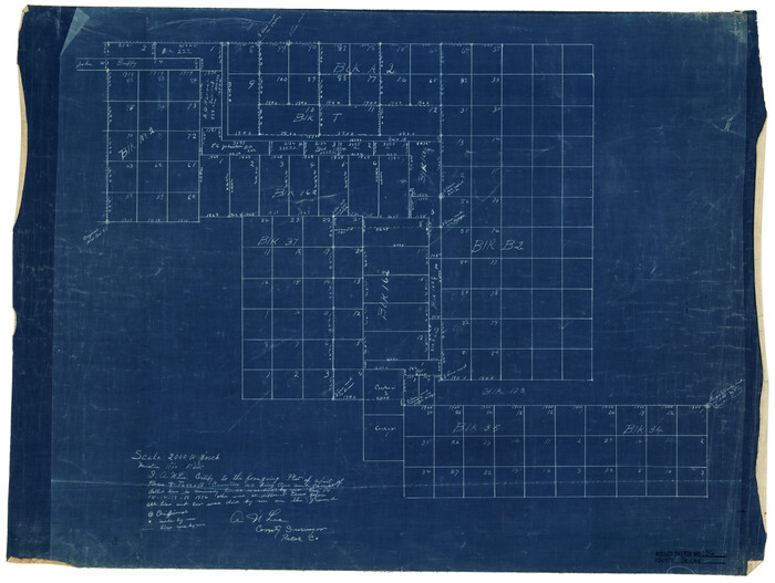
Pecos County Rolled Sketch 56
1916
Size 18.1 x 24.2 inches
Map/Doc 5229
[I. & G. N. Blocks 1 and 2]
![90333, [I. & G. N. Blocks 1 and 2], Twichell Survey Records](https://historictexasmaps.com/wmedia_w700/maps/90333-1.tif.jpg)
![90333, [I. & G. N. Blocks 1 and 2], Twichell Survey Records](https://historictexasmaps.com/wmedia_w700/maps/90333-1.tif.jpg)
Print $20.00
- Digital $50.00
[I. & G. N. Blocks 1 and 2]
Size 21.2 x 37.5 inches
Map/Doc 90333
Brooks County Sketch File 4


Print $4.00
- Digital $50.00
Brooks County Sketch File 4
Size 14.3 x 8.7 inches
Map/Doc 16549
Harris County Working Sketch 20

Print $20.00
- Digital $50.00
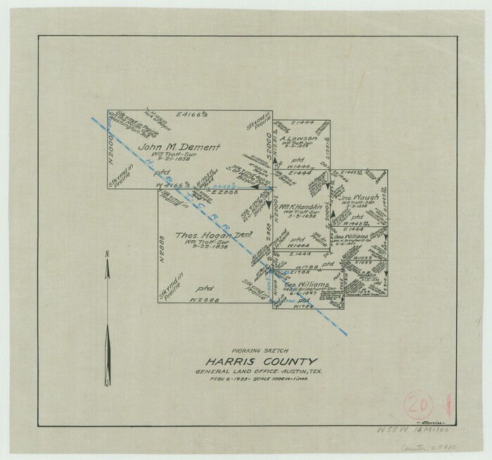
Harris County Working Sketch 20
1923
Size 11.7 x 12.4 inches
Map/Doc 65912
Hamilton County Sketch File 7


Print $40.00
- Digital $50.00
Hamilton County Sketch File 7
1860
Size 12.2 x 15.3 inches
Map/Doc 24912
Bell County Sketch File 26b
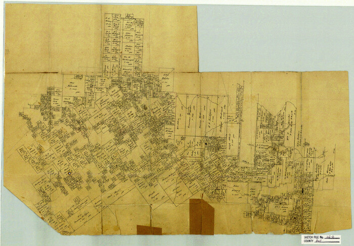

Print $40.00
- Digital $50.00
Bell County Sketch File 26b
Size 14.7 x 21.1 inches
Map/Doc 10917
Baylor County Rolled Sketch BHK
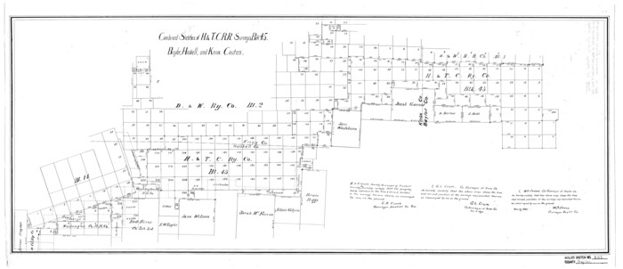

Print $20.00
- Digital $50.00
Baylor County Rolled Sketch BHK
1892
Size 18.8 x 43.5 inches
Map/Doc 5130
Flight Mission No. BRE-4P, Frame 166, Nueces County


Print $20.00
- Digital $50.00
Flight Mission No. BRE-4P, Frame 166, Nueces County
1956
Size 18.5 x 22.4 inches
Map/Doc 86829
[Surveys in Austin's Colony on the east side of the Colorado River]
![167, [Surveys in Austin's Colony on the east side of the Colorado River], General Map Collection](https://historictexasmaps.com/wmedia_w700/maps/167.tif.jpg)
![167, [Surveys in Austin's Colony on the east side of the Colorado River], General Map Collection](https://historictexasmaps.com/wmedia_w700/maps/167.tif.jpg)
Print $20.00
- Digital $50.00
[Surveys in Austin's Colony on the east side of the Colorado River]
1830
Size 30.9 x 25.1 inches
Map/Doc 167
Red River County Working Sketch 26
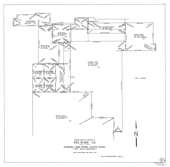

Print $20.00
- Digital $50.00
Red River County Working Sketch 26
1961
Size 30.9 x 31.6 inches
Map/Doc 72009
