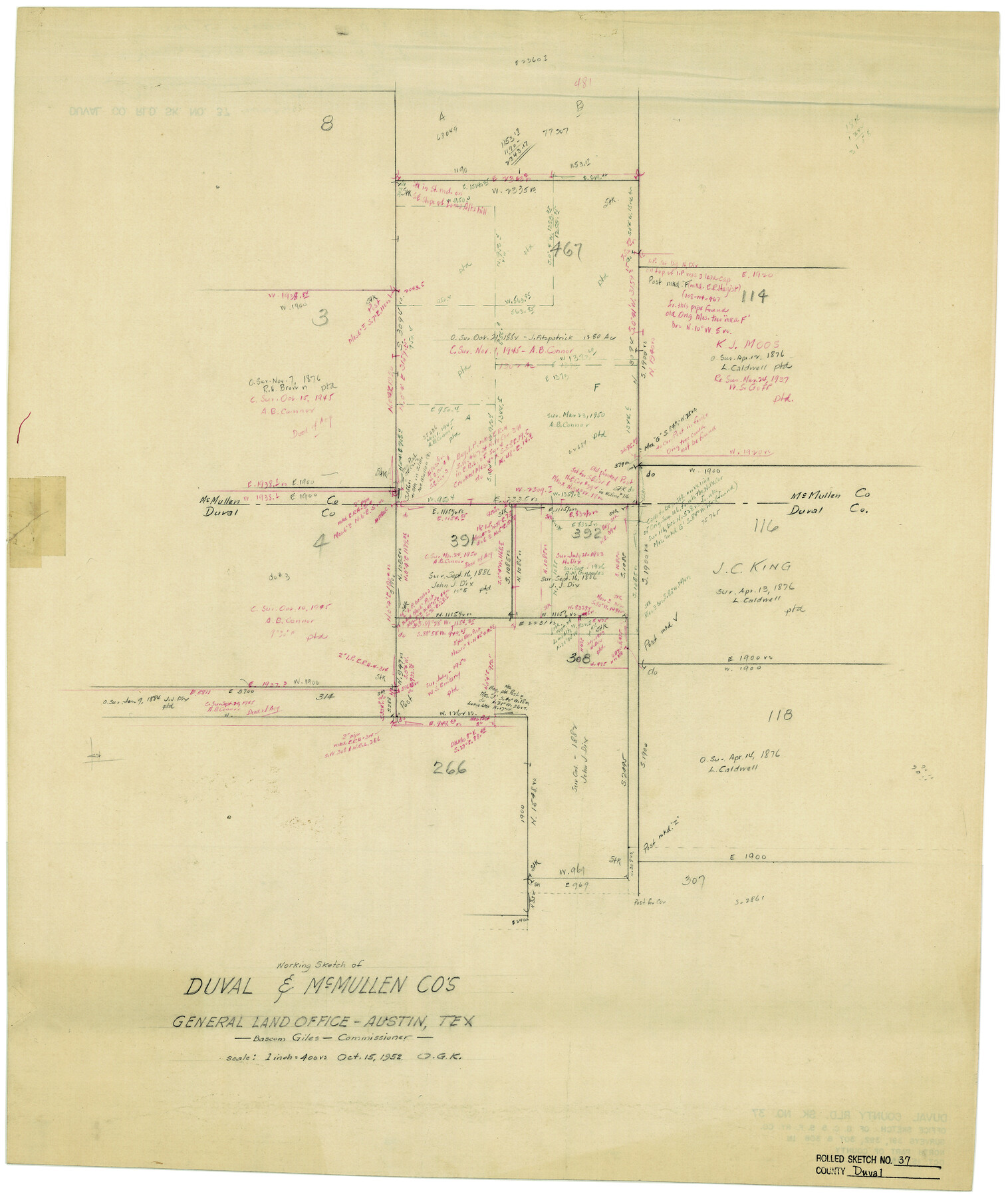
Duval County Rolled Sketch 37
Working Sketch of Duval & McMullen Cos.
-
Map/Doc
5753
-
Collection
General Map Collection
-
Object Dates
10/15/1952 (Creation Date)
-
Counties
Duval McMullen
-
Subjects
Surveying Rolled Sketch
-
Height x Width
29.2 x 24.6 inches
74.2 x 62.5 cm
-
Medium
paper, manuscript
-
Scale
1" = 400 varas
Part of: General Map Collection
Shackelford County Working Sketch 2

Print $20.00
- Digital $50.00
Shackelford County Working Sketch 2
1914
Size 17.2 x 17.3 inches
Map/Doc 63842
Part of Laguna Madre in Nueces and Kleberg Counties, showing Subdivision for Mineral Development

Print $20.00
- Digital $50.00
Part of Laguna Madre in Nueces and Kleberg Counties, showing Subdivision for Mineral Development
1948
Size 36.9 x 26.6 inches
Map/Doc 1922
Roberts County Working Sketch 8

Print $20.00
- Digital $50.00
Roberts County Working Sketch 8
1963
Size 21.9 x 26.0 inches
Map/Doc 63534
Marion County Rolled Sketch 2

Print $40.00
- Digital $50.00
Marion County Rolled Sketch 2
1954
Size 82.7 x 43.2 inches
Map/Doc 76446
Panola County Sketch File 27

Print $8.00
- Digital $50.00
Panola County Sketch File 27
1850
Size 5.4 x 7.7 inches
Map/Doc 33498
Gray County Sketch File 6

Print $20.00
- Digital $50.00
Gray County Sketch File 6
1882
Size 26.3 x 21.4 inches
Map/Doc 11575
Uvalde County Working Sketch 68

Print $20.00
- Digital $50.00
Uvalde County Working Sketch 68
1971
Size 30.3 x 32.0 inches
Map/Doc 75974
Jasper County Working Sketch 3

Print $20.00
- Digital $50.00
Jasper County Working Sketch 3
Size 17.8 x 14.1 inches
Map/Doc 66465
Supreme Court of the United States, October Term, 1923, No. 15, Original - The State of Oklahoma, Complainant vs. The State of Texas, Defendant, The United States, Intervener; Report of the Boundary Commissioners

Print $98.00
- Digital $50.00
Supreme Court of the United States, October Term, 1923, No. 15, Original - The State of Oklahoma, Complainant vs. The State of Texas, Defendant, The United States, Intervener; Report of the Boundary Commissioners
1924
Size 6.1 x 9.2 inches
Map/Doc 3058
Flight Mission No. DAG-24K, Frame 149, Matagorda County

Print $20.00
- Digital $50.00
Flight Mission No. DAG-24K, Frame 149, Matagorda County
1953
Size 18.4 x 16.2 inches
Map/Doc 86563
Map of the City of Aransas Pass

Print $20.00
- Digital $50.00
Map of the City of Aransas Pass
1905
Size 28.3 x 21.4 inches
Map/Doc 97266
Flight Mission No. CGI-1N, Frame 138, Cameron County

Print $20.00
- Digital $50.00
Flight Mission No. CGI-1N, Frame 138, Cameron County
1955
Size 15.5 x 18.7 inches
Map/Doc 84494
You may also like
Johnson County Working Sketch 30

Print $20.00
- Digital $50.00
Johnson County Working Sketch 30
2007
Size 40.9 x 42.0 inches
Map/Doc 83807
Texas Pacific Land Trust, Preliminary Plat Blocks 64-65-66 Tsp. 7 & 8 T&P RR Co. Surveys

Print $40.00
- Digital $50.00
Texas Pacific Land Trust, Preliminary Plat Blocks 64-65-66 Tsp. 7 & 8 T&P RR Co. Surveys
1962
Size 54.6 x 43.0 inches
Map/Doc 87210
Taylor County Working Sketch 14

Print $20.00
- Digital $50.00
Taylor County Working Sketch 14
1959
Size 26.8 x 21.4 inches
Map/Doc 69624
Texas Gulf Coast Map from the Sabine River to the Rio Grande as subdivided for mineral development

Print $40.00
- Digital $50.00
Texas Gulf Coast Map from the Sabine River to the Rio Grande as subdivided for mineral development
1948
Size 49.2 x 73.7 inches
Map/Doc 2905
Sutton County Sketch File 53

Print $6.00
- Digital $50.00
Sutton County Sketch File 53
1948
Size 11.5 x 10.2 inches
Map/Doc 37532
Webb County Rolled Sketch 23

Print $40.00
- Digital $50.00
Webb County Rolled Sketch 23
Size 138.8 x 38.2 inches
Map/Doc 10121
Dimmit County Working Sketch 13

Print $20.00
- Digital $50.00
Dimmit County Working Sketch 13
1941
Size 14.3 x 16.3 inches
Map/Doc 68674
Wise County Sketch File 8

Print $4.00
- Digital $50.00
Wise County Sketch File 8
1855
Size 12.2 x 7.8 inches
Map/Doc 40537
Webb County Working Sketch 97

Print $20.00
- Digital $50.00
Webb County Working Sketch 97
1994
Size 27.1 x 30.6 inches
Map/Doc 72464
Hunt County Boundary File 2

Print $6.00
- Digital $50.00
Hunt County Boundary File 2
Size 13.0 x 8.1 inches
Map/Doc 55189
Morris County Rolled Sketch 2A

Print $20.00
- Digital $50.00
Morris County Rolled Sketch 2A
Size 24.4 x 19.3 inches
Map/Doc 10262
Red River Co.

Print $20.00
- Digital $50.00
Red River Co.
1897
Size 46.8 x 36.0 inches
Map/Doc 16796