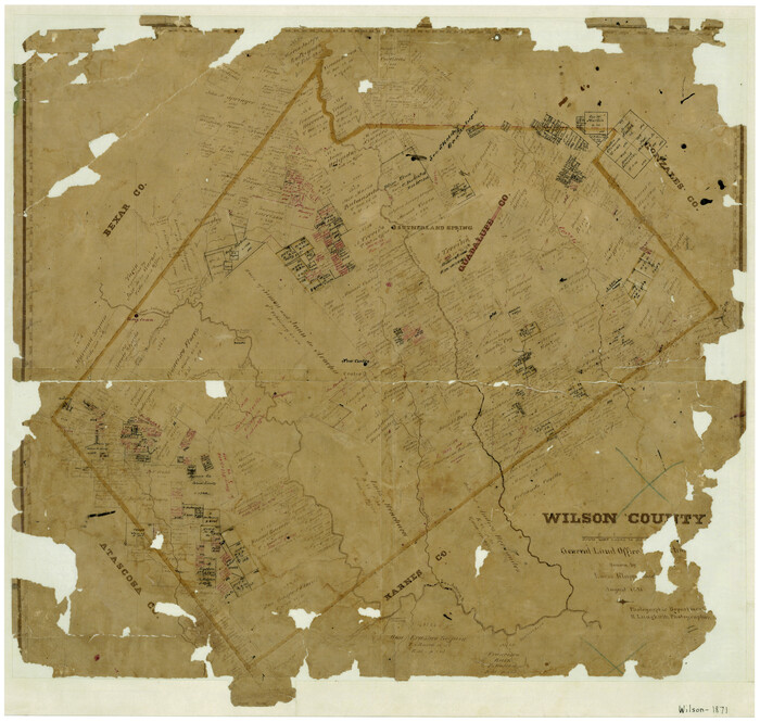
Gregg County Rolled Sketch TMB
Plat of unsurveyed Public School Land in Gregg Co., Tex. south of the Francis W. Johnson and north of Sabine River
-
Map/Doc
6042
-
Collection
General Map Collection
-
Object Dates
8/1931 (Creation Date)
12/24/1931 (File Date)
-
People and Organizations
T.M. Brayley (Surveyor/Engineer)
-
Counties
Gregg
-
Subjects
Surveying Rolled Sketch
-
Height x Width
20.9 x 20.8 inches
53.1 x 52.8 cm
-
Medium
paper, manuscript
-
Scale
1" = 300 varas
Part of: General Map Collection
Nueces County NRC Article 33.136 Sketch 22
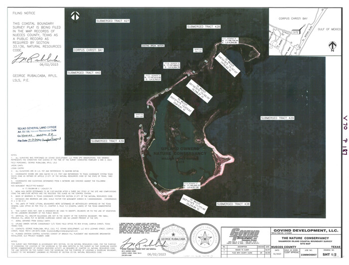

Print $42.00
Nueces County NRC Article 33.136 Sketch 22
2023
Map/Doc 97180
Upton County Working Sketch 45


Print $20.00
- Digital $50.00
Upton County Working Sketch 45
1968
Size 44.2 x 38.2 inches
Map/Doc 69541
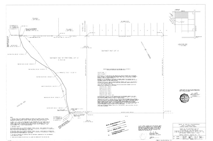
Nueces County Rolled Sketch 131

Print $20.00
- Digital $50.00
Nueces County Rolled Sketch 131
2000
Size 24.2 x 36.6 inches
Map/Doc 7166
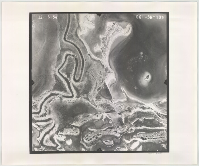
Flight Mission No. CGI-3N, Frame 103, Cameron County

Print $20.00
- Digital $50.00
Flight Mission No. CGI-3N, Frame 103, Cameron County
1954
Size 18.4 x 22.2 inches
Map/Doc 84583
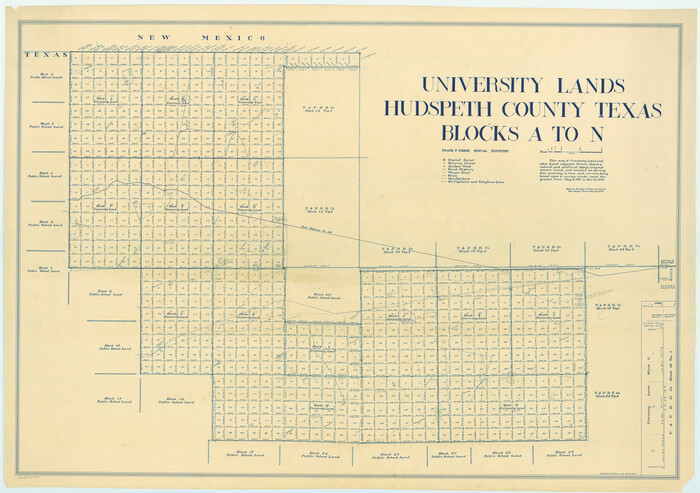
University Lands Hudspeth County, Texas, Blocks A to N

Print $40.00
- Digital $50.00
University Lands Hudspeth County, Texas, Blocks A to N
Size 38.9 x 55.2 inches
Map/Doc 62952
Harris County Sketch File 61


Print $20.00
- Digital $50.00
Harris County Sketch File 61
1927
Size 19.4 x 16.7 inches
Map/Doc 11659
Kinney County Boundary File 1b


Print $8.00
- Digital $50.00
Kinney County Boundary File 1b
Size 14.3 x 8.7 inches
Map/Doc 64955
Map of Hays County Travis District


Print $20.00
- Digital $50.00
Map of Hays County Travis District
1861
Size 18.6 x 26.0 inches
Map/Doc 3648
Hardeman County Working Sketch 11


Print $40.00
- Digital $50.00
Hardeman County Working Sketch 11
1960
Size 40.0 x 58.1 inches
Map/Doc 63392
Visitor's Guide to Mexico City, D.F. [and Index to Cities and Villages and Route Summaries]
![96822, Visitor's Guide to Mexico City, D.F. [and Index to Cities and Villages and Route Summaries], General Map Collection](https://historictexasmaps.com/wmedia_w700/maps/96822.tif.jpg)
![96822, Visitor's Guide to Mexico City, D.F. [and Index to Cities and Villages and Route Summaries], General Map Collection](https://historictexasmaps.com/wmedia_w700/maps/96822.tif.jpg)
Visitor's Guide to Mexico City, D.F. [and Index to Cities and Villages and Route Summaries]
1999
Size 33.7 x 25.1 inches
Map/Doc 96822
You may also like
Limestone County Boundary File 1


Print $9.00
- Digital $50.00
Limestone County Boundary File 1
Size 8.8 x 14.5 inches
Map/Doc 56296
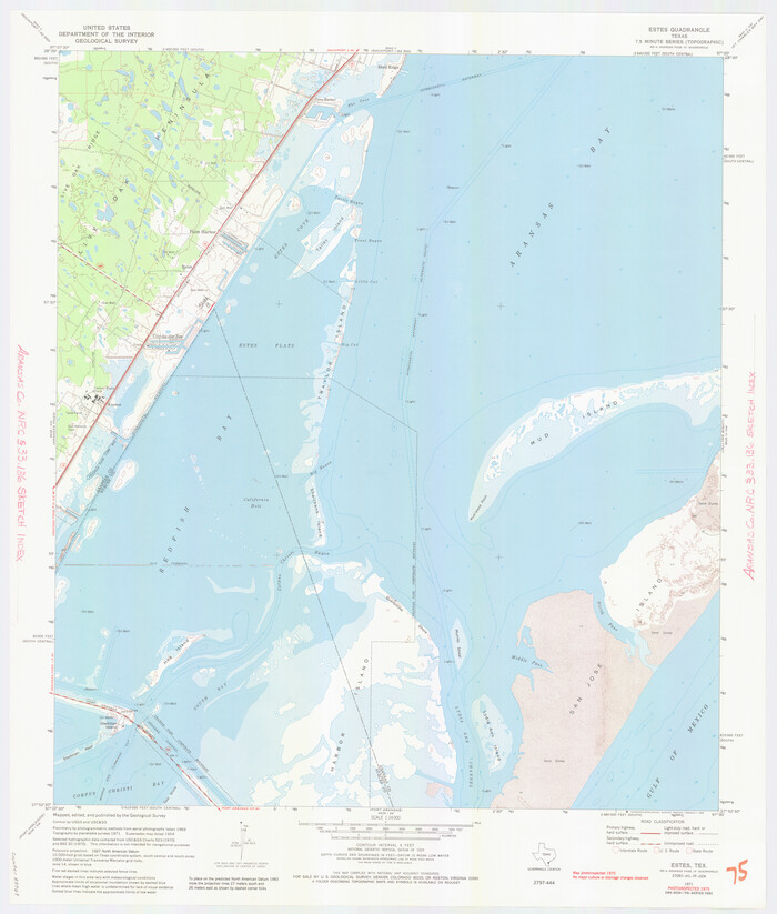
Aransas County NRC Article 33.136 Location Key Sheet

Print $20.00
- Digital $50.00
Aransas County NRC Article 33.136 Location Key Sheet
1971
Size 27.0 x 23.0 inches
Map/Doc 88769
Harris County Historic Topographic 2


Print $20.00
- Digital $50.00
Harris County Historic Topographic 2
1916
Size 29.5 x 22.7 inches
Map/Doc 65812
Flight Mission No. CUG-2P, Frame 79, Kleberg County


Print $20.00
- Digital $50.00
Flight Mission No. CUG-2P, Frame 79, Kleberg County
1956
Size 18.4 x 22.1 inches
Map/Doc 86211
Deaf Smith County


Print $40.00
- Digital $50.00
Deaf Smith County
1922
Size 55.0 x 43.9 inches
Map/Doc 89768
Hemphill County Working Sketch 25
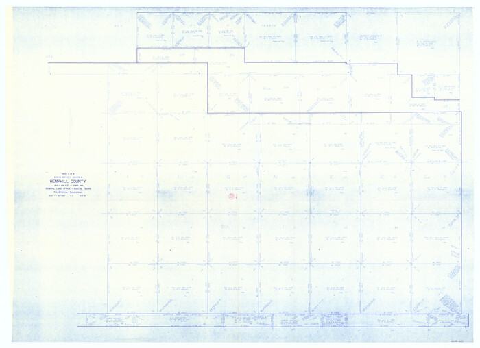

Print $40.00
- Digital $50.00
Hemphill County Working Sketch 25
1974
Size 44.0 x 60.7 inches
Map/Doc 66120
Tom Green County Sketch File 58
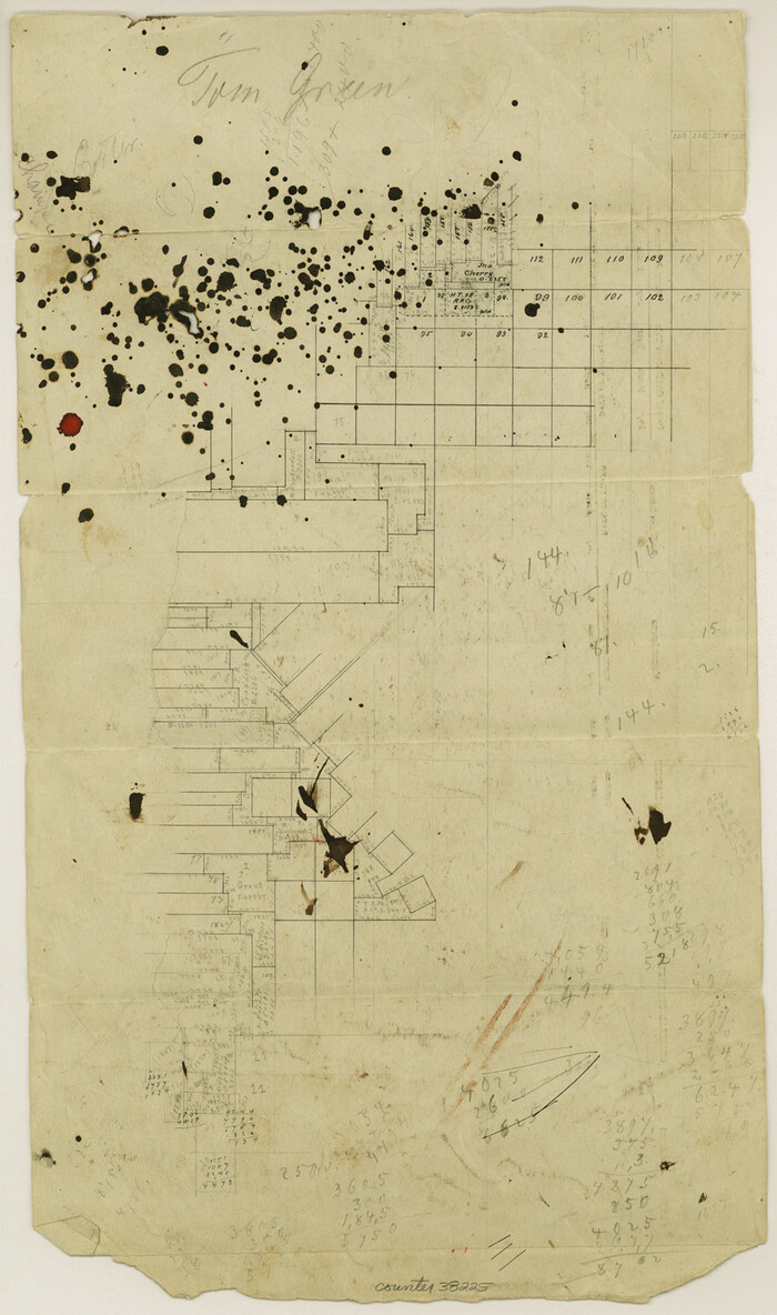

Print $6.00
- Digital $50.00
Tom Green County Sketch File 58
Size 15.9 x 9.4 inches
Map/Doc 38225
Presidio County
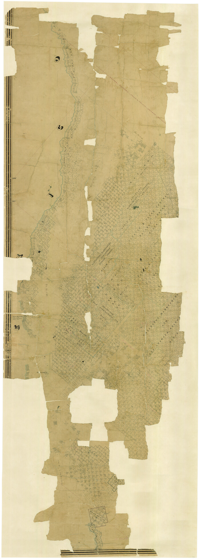

Print $40.00
- Digital $50.00
Presidio County
1875
Size 98.1 x 36.4 inches
Map/Doc 88866
[Sketch of Blks. 2, 2B, 3B]
![89638, [Sketch of Blks. 2, 2B, 3B], Twichell Survey Records](https://historictexasmaps.com/wmedia_w700/maps/89638-1.tif.jpg)
![89638, [Sketch of Blks. 2, 2B, 3B], Twichell Survey Records](https://historictexasmaps.com/wmedia_w700/maps/89638-1.tif.jpg)
Print $20.00
- Digital $50.00
[Sketch of Blks. 2, 2B, 3B]
1918
Size 38.0 x 33.2 inches
Map/Doc 89638
Gillespie County Boundary File 3a


Print $20.00
- Digital $50.00
Gillespie County Boundary File 3a
Size 24.6 x 37.6 inches
Map/Doc 53753
Schleicher County Sketch File 4
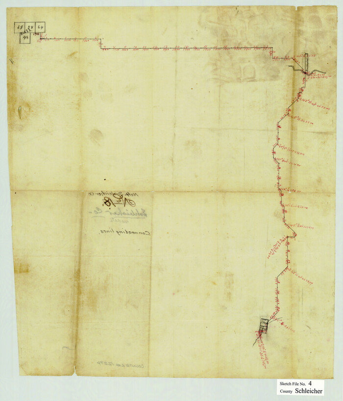

Print $20.00
- Digital $50.00
Schleicher County Sketch File 4
Size 18.8 x 16.1 inches
Map/Doc 12296

