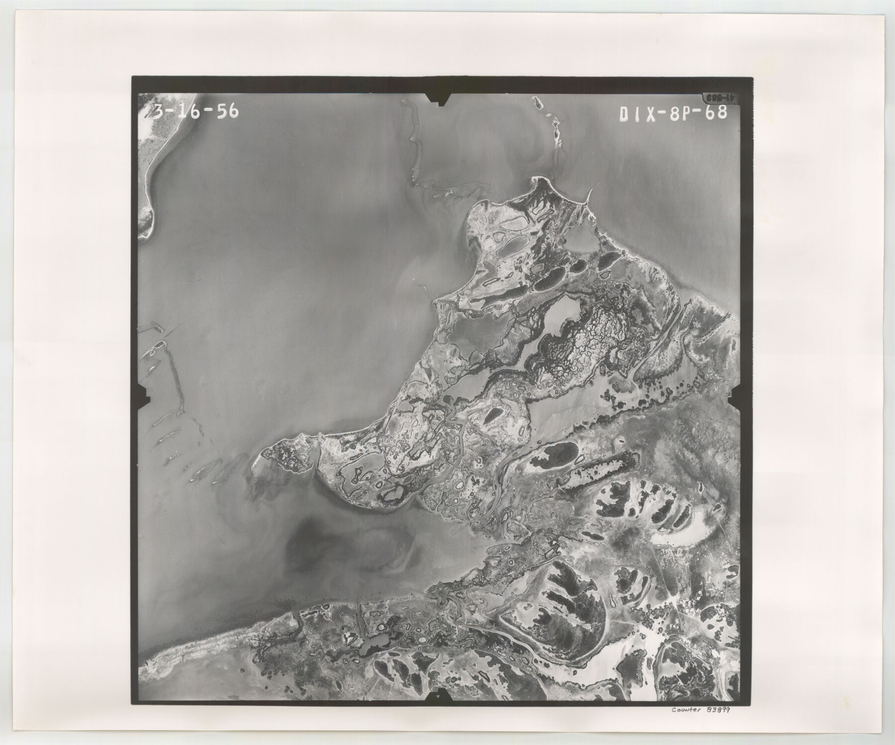
Flight Mission No. DIX-8P, Frame 68, Aransas County
DIX-8P-68
-
Map/Doc
83899
-
Collection
General Map Collection
-
Object Dates
1956/3/16 (Creation Date)
-
People and Organizations
U. S. Department of Agriculture (Publisher)
-
Counties
Aransas
-
Subjects
Aerial Photograph
-
Height x Width
18.7 x 22.5 inches
47.5 x 57.2 cm
-
Comments
Flown by V. L. Beavers and Associates of San Antonio, Texas.
Part of: General Map Collection
Map of Limestone County

Print $20.00
- Digital $50.00
Map of Limestone County
1858
Size 23.2 x 23.8 inches
Map/Doc 3819
Flight Mission No. BQR-13K, Frame 26, Brazoria County

Print $20.00
- Digital $50.00
Flight Mission No. BQR-13K, Frame 26, Brazoria County
1952
Size 18.7 x 22.4 inches
Map/Doc 84074
Pecos County Sketch File 64

Print $12.00
- Digital $50.00
Pecos County Sketch File 64
1919
Size 11.1 x 8.8 inches
Map/Doc 33818
Matagorda County NRC Article 33.136 Sketch 20

Print $106.00
Matagorda County NRC Article 33.136 Sketch 20
2024
Map/Doc 97425

Flight Mission No. DQN-1K, Frame 119, Calhoun County

Print $20.00
- Digital $50.00
Flight Mission No. DQN-1K, Frame 119, Calhoun County
1953
Size 18.6 x 22.1 inches
Map/Doc 84185
Webb County Working Sketch 35

Print $40.00
- Digital $50.00
Webb County Working Sketch 35
1939
Size 54.5 x 36.2 inches
Map/Doc 72400
Colorado County Sketch File 13

Print $4.00
- Digital $50.00
Colorado County Sketch File 13
Size 12.5 x 8.3 inches
Map/Doc 18937
Cooke County Working Sketch 10

Print $20.00
- Digital $50.00
Cooke County Working Sketch 10
1940
Size 40.5 x 27.8 inches
Map/Doc 68247
Wharton County Rolled Sketch 7

Print $20.00
- Digital $50.00
Wharton County Rolled Sketch 7
Size 38.0 x 26.9 inches
Map/Doc 8231
Jefferson County Rolled Sketch 60

Print $20.00
- Digital $50.00
Jefferson County Rolled Sketch 60
1885
Size 31.0 x 35.6 inches
Map/Doc 9315
Flight Mission No. BQR-3K, Frame 155, Brazoria County

Print $20.00
- Digital $50.00
Flight Mission No. BQR-3K, Frame 155, Brazoria County
1952
Size 18.7 x 22.4 inches
Map/Doc 83982
You may also like
Galveston County Working Sketch 3

Print $20.00
- Digital $50.00
Galveston County Working Sketch 3
1915
Size 21.4 x 19.5 inches
Map/Doc 69340
Galveston County Sketch File 34a

Print $20.00
- Digital $50.00
Galveston County Sketch File 34a
Size 11.4 x 20.3 inches
Map/Doc 11537
Terrell County Rolled Sketch 44

Print $20.00
- Digital $50.00
Terrell County Rolled Sketch 44
1952
Size 18.3 x 22.9 inches
Map/Doc 7947
Map of Hidalgo County

Print $20.00
- Digital $50.00
Map of Hidalgo County
1896
Size 44.9 x 25.5 inches
Map/Doc 4684
General Highway Map, Harrison County, Texas

Print $20.00
General Highway Map, Harrison County, Texas
1940
Size 18.2 x 24.8 inches
Map/Doc 79121
[G. H. & H. RR. Co. Block 5 and surrounding surveys]
![90877, [G. H. & H. RR. Co. Block 5 and surrounding surveys], Twichell Survey Records](https://historictexasmaps.com/wmedia_w700/maps/90877-2.tif.jpg)
Print $20.00
- Digital $50.00
[G. H. & H. RR. Co. Block 5 and surrounding surveys]
1901
Size 28.0 x 15.2 inches
Map/Doc 90877
Newton County Sketch File 44

Print $8.00
- Digital $50.00
Newton County Sketch File 44
1945
Size 11.2 x 8.6 inches
Map/Doc 32441
Liberty County Working Sketch 83

Print $40.00
- Digital $50.00
Liberty County Working Sketch 83
1981
Size 68.4 x 37.8 inches
Map/Doc 70543
Jackson County

Print $40.00
- Digital $50.00
Jackson County
1920
Size 49.5 x 41.8 inches
Map/Doc 66878
Runnels County Rolled Sketch C

Print $20.00
- Digital $50.00
Runnels County Rolled Sketch C
1892
Size 16.0 x 21.0 inches
Map/Doc 7541
Mills County Working Sketch 7

Print $20.00
- Digital $50.00
Mills County Working Sketch 7
1914
Size 12.8 x 13.0 inches
Map/Doc 71037
