[G. H. & H. RR. Co. Block 5 and surrounding surveys]
85-52
-
Map/Doc
90877
-
Collection
Twichell Survey Records
-
Object Dates
12/14/1901 (Creation Date)
-
People and Organizations
F.M. German (Surveyor/Engineer)
-
Counties
Garza
-
Height x Width
28.0 x 15.2 inches
71.1 x 38.6 cm
Part of: Twichell Survey Records
[H. & G. N. RR. Company, Block 7]
![91018, [H. & G. N. RR. Company, Block 7], Twichell Survey Records](https://historictexasmaps.com/wmedia_w700/maps/91018-1.tif.jpg)
![91018, [H. & G. N. RR. Company, Block 7], Twichell Survey Records](https://historictexasmaps.com/wmedia_w700/maps/91018-1.tif.jpg)
Print $20.00
- Digital $50.00
[H. & G. N. RR. Company, Block 7]
Size 14.7 x 21.4 inches
Map/Doc 91018
[Blocks M17, M18, M23, XO2, L, Z, and Block 47, Sections 18-25]
![91241, [Blocks M17, M18, M23, XO2, L, Z, and Block 47, Sections 18-25], Twichell Survey Records](https://historictexasmaps.com/wmedia_w700/maps/91241-1.tif.jpg)
![91241, [Blocks M17, M18, M23, XO2, L, Z, and Block 47, Sections 18-25], Twichell Survey Records](https://historictexasmaps.com/wmedia_w700/maps/91241-1.tif.jpg)
Print $20.00
- Digital $50.00
[Blocks M17, M18, M23, XO2, L, Z, and Block 47, Sections 18-25]
Size 32.3 x 26.2 inches
Map/Doc 91241
[County School Land Leagues]
![90280, [County School Land Leagues], Twichell Survey Records](https://historictexasmaps.com/wmedia_w700/maps/90280-1.tif.jpg)
![90280, [County School Land Leagues], Twichell Survey Records](https://historictexasmaps.com/wmedia_w700/maps/90280-1.tif.jpg)
Print $20.00
- Digital $50.00
[County School Land Leagues]
1913
Size 21.2 x 25.4 inches
Map/Doc 90280
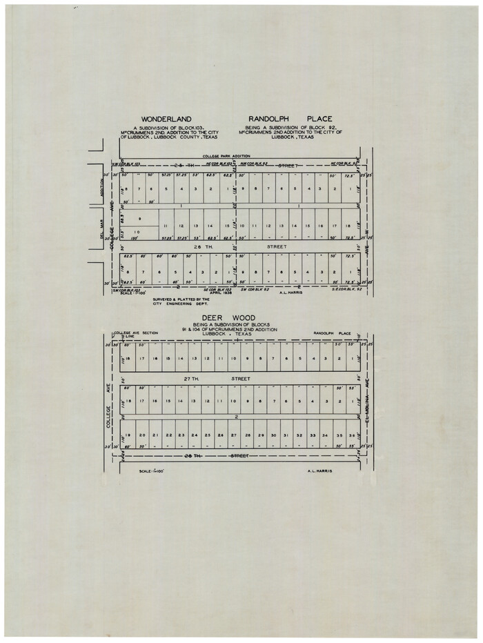
Wonderland, Randolph Place, and Deer Wood

Print $20.00
- Digital $50.00
Wonderland, Randolph Place, and Deer Wood
Size 18.9 x 24.8 inches
Map/Doc 92742
[Blocks T1, T2, T3, and Vicinity]
![90983, [Blocks T1, T2, T3, and Vicinity], Twichell Survey Records](https://historictexasmaps.com/wmedia_w700/maps/90983-1.tif.jpg)
![90983, [Blocks T1, T2, T3, and Vicinity], Twichell Survey Records](https://historictexasmaps.com/wmedia_w700/maps/90983-1.tif.jpg)
Print $20.00
- Digital $50.00
[Blocks T1, T2, T3, and Vicinity]
Size 30.3 x 33.6 inches
Map/Doc 90983
[Block T, Sabine County School Land, and vicinity]
![92250, [Block T, Sabine County School Land, and vicinity], Twichell Survey Records](https://historictexasmaps.com/wmedia_w700/maps/92250-1.tif.jpg)
![92250, [Block T, Sabine County School Land, and vicinity], Twichell Survey Records](https://historictexasmaps.com/wmedia_w700/maps/92250-1.tif.jpg)
Print $20.00
- Digital $50.00
[Block T, Sabine County School Land, and vicinity]
Size 35.7 x 32.0 inches
Map/Doc 92250
Ownership Map Lamb County


Print $20.00
- Digital $50.00
Ownership Map Lamb County
1934
Size 37.6 x 45.0 inches
Map/Doc 89847
[Blocks D and P]
![92490, [Blocks D and P], Twichell Survey Records](https://historictexasmaps.com/wmedia_w700/maps/92490-1.tif.jpg)
![92490, [Blocks D and P], Twichell Survey Records](https://historictexasmaps.com/wmedia_w700/maps/92490-1.tif.jpg)
Print $20.00
- Digital $50.00
[Blocks D and P]
Size 41.8 x 29.1 inches
Map/Doc 92490
Cochran County Sketch [showing lines run by C. A. Tubbs]
![90435, Cochran County Sketch [showing lines run by C. A. Tubbs], Twichell Survey Records](https://historictexasmaps.com/wmedia_w700/maps/90435-1.tif.jpg)
![90435, Cochran County Sketch [showing lines run by C. A. Tubbs], Twichell Survey Records](https://historictexasmaps.com/wmedia_w700/maps/90435-1.tif.jpg)
Print $20.00
- Digital $50.00
Cochran County Sketch [showing lines run by C. A. Tubbs]
Size 10.0 x 23.8 inches
Map/Doc 90435
Correct Map of Lamb County, Texas


Print $40.00
- Digital $50.00
Correct Map of Lamb County, Texas
1914
Size 47.1 x 57.1 inches
Map/Doc 89954
Working Sketch in Moore County


Print $2.00
- Digital $50.00
Working Sketch in Moore County
1909
Size 7.0 x 8.6 inches
Map/Doc 91518
You may also like
Jones County Rolled Sketch 4


Print $20.00
- Digital $50.00
Jones County Rolled Sketch 4
2022
Size 31.9 x 24.0 inches
Map/Doc 97150
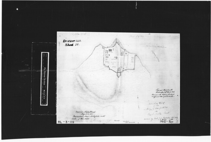
Intrenched depot of the army of occupation at Point Isabel, Texas

Print $20.00
- Digital $50.00
Intrenched depot of the army of occupation at Point Isabel, Texas
1846
Size 17.0 x 25.2 inches
Map/Doc 72922
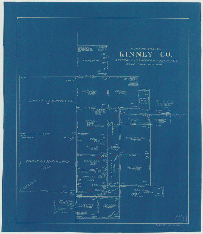
Kinney County Working Sketch 3

Print $20.00
- Digital $50.00
Kinney County Working Sketch 3
Size 20.3 x 17.6 inches
Map/Doc 70185
Township No. 5 South Range No. 9 West of the Indian Meridian


Print $20.00
- Digital $50.00
Township No. 5 South Range No. 9 West of the Indian Meridian
1874
Size 19.2 x 24.5 inches
Map/Doc 75135
Dickens County Sketch File 14a


Print $20.00
- Digital $50.00
Dickens County Sketch File 14a
Size 18.2 x 16.5 inches
Map/Doc 11321
Pecos County Working Sketch 62


Print $40.00
- Digital $50.00
Pecos County Working Sketch 62
1952
Size 32.3 x 59.1 inches
Map/Doc 71534
[CTRR Co. Block T, Cottle County, Texas]
![10777, [CTRR Co. Block T, Cottle County, Texas], Maddox Collection](https://historictexasmaps.com/wmedia_w700/maps/10777.tif.jpg)
![10777, [CTRR Co. Block T, Cottle County, Texas], Maddox Collection](https://historictexasmaps.com/wmedia_w700/maps/10777.tif.jpg)
Print $20.00
- Digital $50.00
[CTRR Co. Block T, Cottle County, Texas]
Size 21.5 x 14.0 inches
Map/Doc 10777
Young County Working Sketch 28
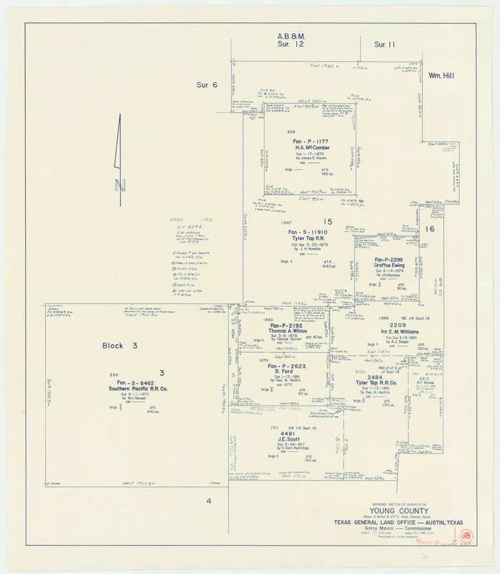

Print $20.00
- Digital $50.00
Young County Working Sketch 28
1985
Size 29.9 x 26.0 inches
Map/Doc 62051
Morris County Rolled Sketch 2A


Print $20.00
- Digital $50.00
Morris County Rolled Sketch 2A
Size 22.7 x 17.6 inches
Map/Doc 10268
Loving County
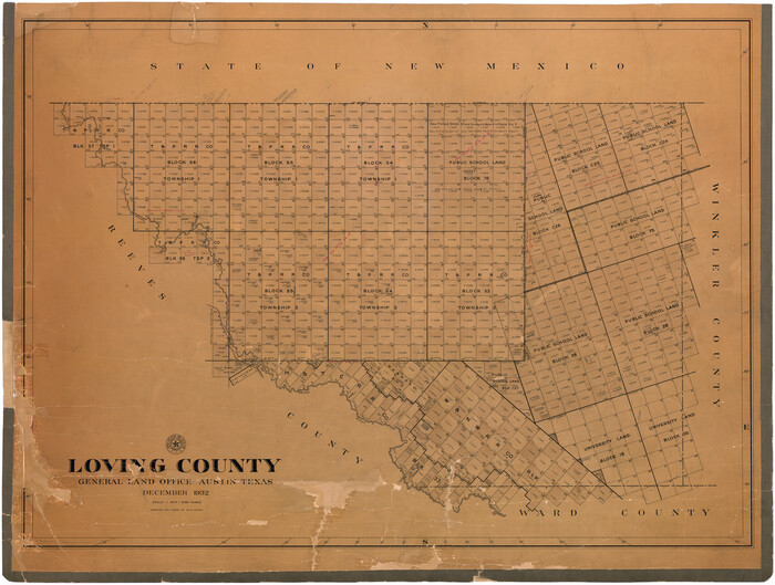

Print $20.00
- Digital $50.00
Loving County
1932
Size 35.0 x 45.6 inches
Map/Doc 73225
Dimmit County Sketch File 11
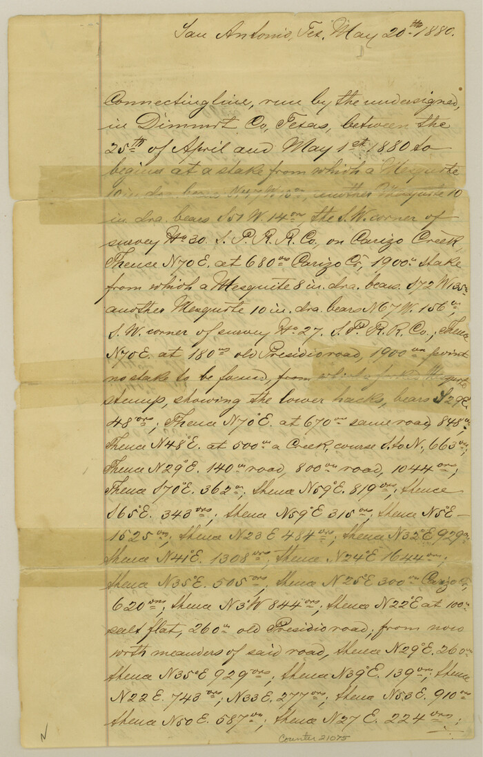

Print $12.00
- Digital $50.00
Dimmit County Sketch File 11
1880
Size 12.9 x 8.2 inches
Map/Doc 21075
![90877, [G. H. & H. RR. Co. Block 5 and surrounding surveys], Twichell Survey Records](https://historictexasmaps.com/wmedia_w1800h1800/maps/90877-2.tif.jpg)

