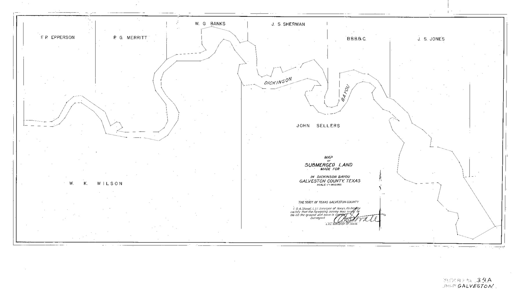
Galveston County Sketch File 34a
Map of Submerged Land in Dickenson Bayou Galveston County, Texas
-
Map/Doc
11537
-
Collection
General Map Collection
-
People and Organizations
O.A. Stovall (Surveyor/Engineer)
-
Counties
Galveston
-
Subjects
Surveying Sketch File
-
Height x Width
11.4 x 20.3 inches
29.0 x 51.6 cm
-
Medium
paper, photocopy
-
Scale
1:300
-
Features
Dickinson Bayou
Part of: General Map Collection
Freestone County Working Sketch 12

Print $40.00
- Digital $50.00
Freestone County Working Sketch 12
1980
Size 54.5 x 38.6 inches
Map/Doc 69254
Presidio County Working Sketch 116

Print $20.00
- Digital $50.00
Presidio County Working Sketch 116
1982
Size 27.8 x 42.4 inches
Map/Doc 71793
Runnels County Rolled Sketch 40

Print $20.00
- Digital $50.00
Runnels County Rolled Sketch 40
Size 32.3 x 38.9 inches
Map/Doc 7528
Upton County Rolled Sketch 21

Print $20.00
- Digital $50.00
Upton County Rolled Sketch 21
1939
Size 21.5 x 37.9 inches
Map/Doc 8072
West Part Presidio Co.

Print $20.00
- Digital $50.00
West Part Presidio Co.
1974
Size 43.2 x 34.3 inches
Map/Doc 95618
Starr County Rolled Sketch 39

Print $20.00
- Digital $50.00
Starr County Rolled Sketch 39
1954
Size 24.9 x 27.7 inches
Map/Doc 7833

Crockett County Sketch File 64

Print $20.00
- Digital $50.00
Crockett County Sketch File 64
1927
Size 17.0 x 21.3 inches
Map/Doc 11229
Jeff Davis County Boundary File 1a

Print $8.00
- Digital $50.00
Jeff Davis County Boundary File 1a
Size 14.3 x 8.8 inches
Map/Doc 55501
Reeves County Working Sketch 61

Print $20.00
- Digital $50.00
Reeves County Working Sketch 61
1982
Size 32.1 x 31.4 inches
Map/Doc 63504
Galveston County Aerial Photograph Index Sheet 2

Print $20.00
- Digital $50.00
Galveston County Aerial Photograph Index Sheet 2
1953
Size 21.2 x 19.5 inches
Map/Doc 83693
Presidio County Sketch File 32

Print $8.00
- Digital $50.00
Presidio County Sketch File 32
1885
Size 11.2 x 8.7 inches
Map/Doc 34472
You may also like
Map of San Patricio County

Print $40.00
- Digital $50.00
Map of San Patricio County
1840
Size 48.7 x 57.2 inches
Map/Doc 77095
Harris County Sketch File 32

Print $14.00
- Digital $50.00
Harris County Sketch File 32
1900
Size 6.7 x 8.8 inches
Map/Doc 25429
Gray County Boundary File 11

Print $80.00
- Digital $50.00
Gray County Boundary File 11
Size 20.7 x 19.7 inches
Map/Doc 53912
St. Louis Southwestern Railway of Texas

Print $20.00
- Digital $50.00
St. Louis Southwestern Railway of Texas
1900
Size 21.6 x 29.9 inches
Map/Doc 64446
Borden County Boundary File 4

Print $66.00
- Digital $50.00
Borden County Boundary File 4
1908
Size 23.7 x 125.7 inches
Map/Doc 1694
Matagorda Light to Aransas Pass

Print $20.00
- Digital $50.00
Matagorda Light to Aransas Pass
1924
Size 35.9 x 44.6 inches
Map/Doc 73391
Motley County Sketch File 23 (S)

Print $2.00
- Digital $50.00
Motley County Sketch File 23 (S)
Size 4.2 x 8.4 inches
Map/Doc 32203
Brazoria County Working Sketch 13

Print $20.00
- Digital $50.00
Brazoria County Working Sketch 13
1936
Size 21.5 x 33.1 inches
Map/Doc 78194
San Patricio County Working Sketch 7

Print $20.00
- Digital $50.00
San Patricio County Working Sketch 7
1936
Size 18.3 x 15.9 inches
Map/Doc 63769
Presidio County Rolled Sketch 91

Print $20.00
- Digital $50.00
Presidio County Rolled Sketch 91
Size 15.1 x 29.4 inches
Map/Doc 7376
Sketch in Parmer County

Print $20.00
- Digital $50.00
Sketch in Parmer County
1901
Size 15.1 x 23.8 inches
Map/Doc 91644
Zapata County

Print $40.00
- Digital $50.00
Zapata County
1935
Size 56.2 x 41.9 inches
Map/Doc 95683