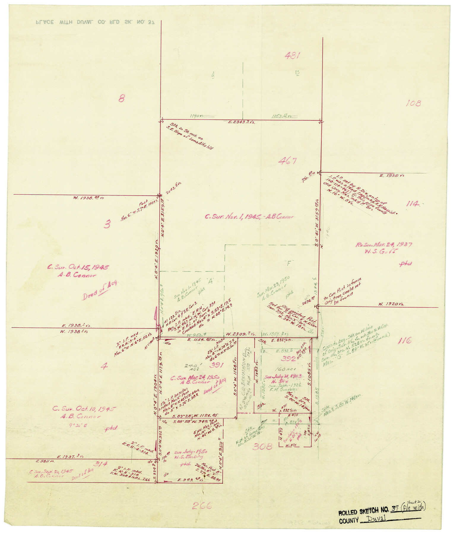
Duval County Rolled Sketch 37
[Working Sketch of Duval & McMullen Cos.]
-
Map/Doc
5754
-
Collection
General Map Collection
-
Counties
Duval McMullen
-
Subjects
Surveying Rolled Sketch
-
Height x Width
19.8 x 16.5 inches
50.3 x 41.9 cm
-
Medium
paper, manuscript
Part of: General Map Collection
Reeves County Sketch File 7

Print $20.00
- Digital $50.00
Reeves County Sketch File 7
Size 18.3 x 19.9 inches
Map/Doc 12243
Baylor County Rolled Sketch 10

Print $20.00
- Digital $50.00
Baylor County Rolled Sketch 10
Size 28.0 x 14.0 inches
Map/Doc 5127
Knox County Boundary File 1a

Print $16.00
- Digital $50.00
Knox County Boundary File 1a
Size 9.7 x 13.8 inches
Map/Doc 65010
Hardin County Working Sketch 3

Print $3.00
- Digital $50.00
Hardin County Working Sketch 3
1906
Size 9.1 x 11.0 inches
Map/Doc 63401
Sutton County Sketch File 26

Print $20.00
- Digital $50.00
Sutton County Sketch File 26
1929
Size 19.6 x 14.8 inches
Map/Doc 12383
Menard County Boundary File 3a

Print $4.00
- Digital $50.00
Menard County Boundary File 3a
Size 10.6 x 8.1 inches
Map/Doc 57074
Hunt County Working Sketch Graphic Index

Print $40.00
- Digital $50.00
Hunt County Working Sketch Graphic Index
1944
Size 50.5 x 37.0 inches
Map/Doc 76585
Hamilton County Sketch File C

Print $6.00
- Digital $50.00
Hamilton County Sketch File C
Size 12.4 x 11.0 inches
Map/Doc 24950
Matagorda County NRC Article 33.136 Sketch 10

Print $46.00
- Digital $50.00
Matagorda County NRC Article 33.136 Sketch 10
2013
Size 24.0 x 36.0 inches
Map/Doc 94519
Sutton County Sketch File 33a-b

Print $7.00
- Digital $50.00
Sutton County Sketch File 33a-b
1934
Size 8.4 x 8.4 inches
Map/Doc 37469
Sabine County Sketch File 6

Print $6.00
Sabine County Sketch File 6
Size 3.4 x 5.8 inches
Map/Doc 35612
Harris County Rolled Sketch 83

Print $20.00
- Digital $50.00
Harris County Rolled Sketch 83
1958
Size 28.2 x 45.6 inches
Map/Doc 9139
You may also like
Knox County Rolled Sketch 14

Print $40.00
- Digital $50.00
Knox County Rolled Sketch 14
1892
Size 21.8 x 54.9 inches
Map/Doc 10666
Madison County Working Sketch 5

Print $20.00
- Digital $50.00
Madison County Working Sketch 5
1981
Size 24.0 x 24.1 inches
Map/Doc 70767
Cottle County Sketch File 8

Print $20.00
- Digital $50.00
Cottle County Sketch File 8
1894
Size 37.6 x 17.6 inches
Map/Doc 11192
Brewster County Rolled Sketch 101

Print $40.00
- Digital $50.00
Brewster County Rolled Sketch 101
1927
Size 74.2 x 42.3 inches
Map/Doc 9192
Presidio County Rolled Sketch 2

Print $20.00
- Digital $50.00
Presidio County Rolled Sketch 2
Size 30.2 x 18.6 inches
Map/Doc 7326
Brazos River Conservation and Reclamation District Official Boundary Line Survey

Print $20.00
- Digital $50.00
Brazos River Conservation and Reclamation District Official Boundary Line Survey
Size 25.0 x 37.0 inches
Map/Doc 90182
Starr County Working Sketch 17

Print $20.00
- Digital $50.00
Starr County Working Sketch 17
1982
Size 46.1 x 42.7 inches
Map/Doc 63933
Freestone County Working Sketch 1

Print $20.00
- Digital $50.00
Freestone County Working Sketch 1
1913
Size 20.2 x 27.2 inches
Map/Doc 69243
Map of Red River Division of International & Great Northern Railroad

Print $40.00
- Digital $50.00
Map of Red River Division of International & Great Northern Railroad
Size 23.5 x 103.4 inches
Map/Doc 64475
Brewster County Sketch File C

Print $40.00
- Digital $50.00
Brewster County Sketch File C
1911
Size 18.6 x 26.6 inches
Map/Doc 10976
Sketch Showing Original Corners Affecting Block I and Adjacent Surveys from Actual Connections by W. D. Twichell

Print $20.00
- Digital $50.00
Sketch Showing Original Corners Affecting Block I and Adjacent Surveys from Actual Connections by W. D. Twichell
Size 23.6 x 24.5 inches
Map/Doc 90156
Hartley County Rolled Sketch 4

Print $20.00
- Digital $50.00
Hartley County Rolled Sketch 4
1902
Size 25.4 x 36.7 inches
Map/Doc 6159