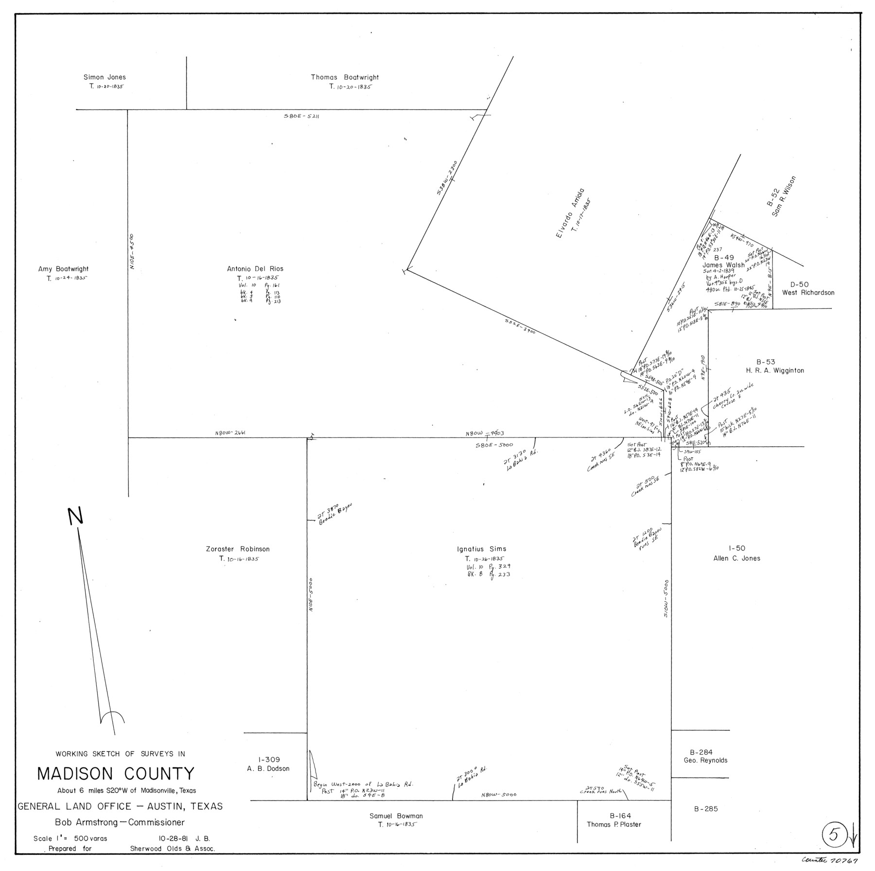
Madison County Working Sketch 5
-
Map/Doc
70767
-
Collection
General Map Collection
-
Object Dates
10/28/1981 (Creation Date)
-
People and Organizations
Jana Brod (Draftsman)
-
Counties
Madison
-
Subjects
Surveying Working Sketch
-
Height x Width
24.0 x 24.1 inches
61.0 x 61.2 cm
-
Scale
1" = 500 varas
Part of: General Map Collection
Newton County Rolled Sketch 25

Print $20.00
- Digital $50.00
Newton County Rolled Sketch 25
1893
Size 17.0 x 21.3 inches
Map/Doc 6855
Travis County Rolled Sketch 44

Print $20.00
- Digital $50.00
Travis County Rolled Sketch 44
Size 34.2 x 35.6 inches
Map/Doc 10052
Presidio County Rolled Sketch 62

Print $20.00
- Digital $50.00
Presidio County Rolled Sketch 62
1916
Size 39.5 x 21.7 inches
Map/Doc 78468
San Antonio & Aransas Pass

Print $40.00
- Digital $50.00
San Antonio & Aransas Pass
Size 30.4 x 81.6 inches
Map/Doc 64634
Morris County Rolled Sketch 2A

Print $20.00
- Digital $50.00
Morris County Rolled Sketch 2A
Size 24.0 x 18.7 inches
Map/Doc 10272
Trinity River, Barnes Bridge Sheet/East Fork of Trinity River

Print $4.00
- Digital $50.00
Trinity River, Barnes Bridge Sheet/East Fork of Trinity River
1936
Size 29.5 x 22.7 inches
Map/Doc 65192
Midland County

Print $20.00
- Digital $50.00
Midland County
1930
Size 44.9 x 38.5 inches
Map/Doc 73239
Anderson County Working Sketch 25

Print $20.00
- Digital $50.00
Anderson County Working Sketch 25
1958
Size 33.1 x 36.6 inches
Map/Doc 67025

Map of the country adjacent to the left bank of the Rio Grande below Matamoros surveyed under instructions of Col. J.J. Abert, Corps. Top. Engrs.

Print $20.00
- Digital $50.00
Map of the country adjacent to the left bank of the Rio Grande below Matamoros surveyed under instructions of Col. J.J. Abert, Corps. Top. Engrs.
Size 27.0 x 20.9 inches
Map/Doc 95177
Hutchinson County Working Sketch 37

Print $20.00
- Digital $50.00
Hutchinson County Working Sketch 37
1978
Size 27.5 x 23.0 inches
Map/Doc 66397
Coke County Working Sketch 15

Print $20.00
- Digital $50.00
Coke County Working Sketch 15
1948
Size 25.7 x 21.7 inches
Map/Doc 68052
You may also like
Reagan County Rolled Sketch 34

Print $40.00
- Digital $50.00
Reagan County Rolled Sketch 34
1956
Size 53.2 x 40.3 inches
Map/Doc 9829
Coryell County Boundary File 3

Print $14.00
- Digital $50.00
Coryell County Boundary File 3
Size 13.2 x 8.2 inches
Map/Doc 51907
Karnes County Working Sketch 10

Print $20.00
- Digital $50.00
Karnes County Working Sketch 10
1970
Size 35.5 x 26.3 inches
Map/Doc 66658
Jack County Working Sketch 22

Print $20.00
- Digital $50.00
Jack County Working Sketch 22
1995
Size 23.9 x 36.7 inches
Map/Doc 66448
Kenedy County Boundary File 2

Print $22.00
- Digital $50.00
Kenedy County Boundary File 2
Size 11.2 x 8.6 inches
Map/Doc 55782
Aransas Pass to Baffin Bay

Print $20.00
- Digital $50.00
Aransas Pass to Baffin Bay
1949
Size 42.6 x 34.7 inches
Map/Doc 73413
Falls County Sketch File 29

Print $40.00
- Digital $50.00
Falls County Sketch File 29
Size 19.9 x 23.5 inches
Map/Doc 75994
Aransas County Sketch File 9

Print $40.00
- Digital $50.00
Aransas County Sketch File 9
Size 17.5 x 19.8 inches
Map/Doc 10819
Mills County Sketch File 23

Print $4.00
- Digital $50.00
Mills County Sketch File 23
Size 12.4 x 9.2 inches
Map/Doc 31672
Robertson County Sketch File 4

Print $12.00
Robertson County Sketch File 4
1862
Size 11.0 x 8.0 inches
Map/Doc 35352
Terry County Working Sketch 4

Print $20.00
- Digital $50.00
Terry County Working Sketch 4
Size 24.9 x 29.6 inches
Map/Doc 62109
Hutchinson County Working Sketch 17

Print $20.00
- Digital $50.00
Hutchinson County Working Sketch 17
Size 45.8 x 44.2 inches
Map/Doc 66376