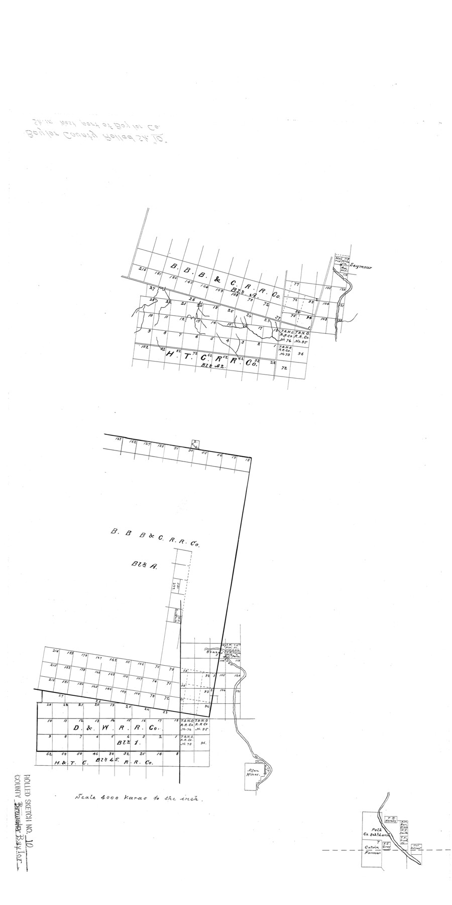
Baylor County Rolled Sketch 10
[Sketch in west part of Baylor Co.]
-
Map/Doc
5127
-
Collection
General Map Collection
-
Counties
Baylor
-
Subjects
Surveying Rolled Sketch
-
Height x Width
28.0 x 14.0 inches
71.1 x 35.6 cm
-
Scale
1" = 4000 varas
Part of: General Map Collection
Harris County Boundary File 39

Print $40.00
- Digital $50.00
Harris County Boundary File 39
Size 9.1 x 3.9 inches
Map/Doc 54306
Fannin County

Print $20.00
- Digital $50.00
Fannin County
1946
Size 40.6 x 35.4 inches
Map/Doc 77277
Hudspeth County Sketch File 38

Print $20.00
- Digital $50.00
Hudspeth County Sketch File 38
Size 27.5 x 24.1 inches
Map/Doc 11806
Shelby County Working Sketch 19

Print $20.00
- Digital $50.00
Shelby County Working Sketch 19
1969
Size 36.9 x 30.2 inches
Map/Doc 63872
Webb County Sketch File 10

Print $20.00
- Digital $50.00
Webb County Sketch File 10
1878
Size 18.9 x 13.0 inches
Map/Doc 12624

Nueces County Rolled Sketch 9

Print $20.00
- Digital $50.00
Nueces County Rolled Sketch 9
1909
Size 30.4 x 21.7 inches
Map/Doc 6868
Flight Mission No. BRA-17M, Frame 3, Jefferson County

Print $20.00
- Digital $50.00
Flight Mission No. BRA-17M, Frame 3, Jefferson County
1953
Size 18.7 x 22.3 inches
Map/Doc 85783
Geographical, Statistical, and Historical Map of the District of Columbia

Print $20.00
- Digital $50.00
Geographical, Statistical, and Historical Map of the District of Columbia
Size 18.0 x 22.4 inches
Map/Doc 97102
Brewster County Rolled Sketch 114

Print $20.00
- Digital $50.00
Brewster County Rolled Sketch 114
1964
Size 11.5 x 17.5 inches
Map/Doc 5287
Liberty County Sketch File 58

Print $2.00
- Digital $50.00
Liberty County Sketch File 58
Size 8.9 x 7.7 inches
Map/Doc 30060
Anderson County Working Sketch 42

Print $40.00
- Digital $50.00
Anderson County Working Sketch 42
1987
Size 34.4 x 51.1 inches
Map/Doc 67042
You may also like
Flight Mission No. DQN-1K, Frame 79, Calhoun County

Print $20.00
- Digital $50.00
Flight Mission No. DQN-1K, Frame 79, Calhoun County
1953
Size 18.5 x 22.2 inches
Map/Doc 84164
Eastland County Boundary File 1

Print $10.00
- Digital $50.00
Eastland County Boundary File 1
Size 11.1 x 8.5 inches
Map/Doc 52780
Brazoria County Rolled Sketch 23

Print $20.00
- Digital $50.00
Brazoria County Rolled Sketch 23
1931
Size 39.2 x 37.3 inches
Map/Doc 10691
Flight Mission No. DIX-5P, Frame 106, Aransas County

Print $20.00
- Digital $50.00
Flight Mission No. DIX-5P, Frame 106, Aransas County
1956
Size 17.8 x 18.0 inches
Map/Doc 83784
La Salle County Sketch File 19

Print $32.00
- Digital $50.00
La Salle County Sketch File 19
1885
Size 14.2 x 8.7 inches
Map/Doc 29509
Galveston - The Playground of the Nation

Galveston - The Playground of the Nation
1913
Size 6.1 x 8.3 inches
Map/Doc 97060
Kerr County Rolled Sketch 17

Print $20.00
- Digital $50.00
Kerr County Rolled Sketch 17
1953
Size 37.0 x 23.0 inches
Map/Doc 6499
Angelina County Sketch File 15c

Print $16.00
- Digital $50.00
Angelina County Sketch File 15c
1838
Size 12.2 x 8.0 inches
Map/Doc 12972
Brazos River, Brazos River Sheet 3

Print $20.00
- Digital $50.00
Brazos River, Brazos River Sheet 3
1926
Size 21.3 x 36.0 inches
Map/Doc 78266
[County lines and corners]
![90801, [County lines and corners], Twichell Survey Records](https://historictexasmaps.com/wmedia_w700/maps/90801-1.tif.jpg)
Print $20.00
- Digital $50.00
[County lines and corners]
Size 22.8 x 17.8 inches
Map/Doc 90801
Val Verde County Working Sketch 107

Print $20.00
- Digital $50.00
Val Verde County Working Sketch 107
Size 32.8 x 43.5 inches
Map/Doc 72242
Duval County Rolled Sketch 37

Print $20.00
- Digital $50.00
Duval County Rolled Sketch 37
1952
Size 29.2 x 24.6 inches
Map/Doc 5753