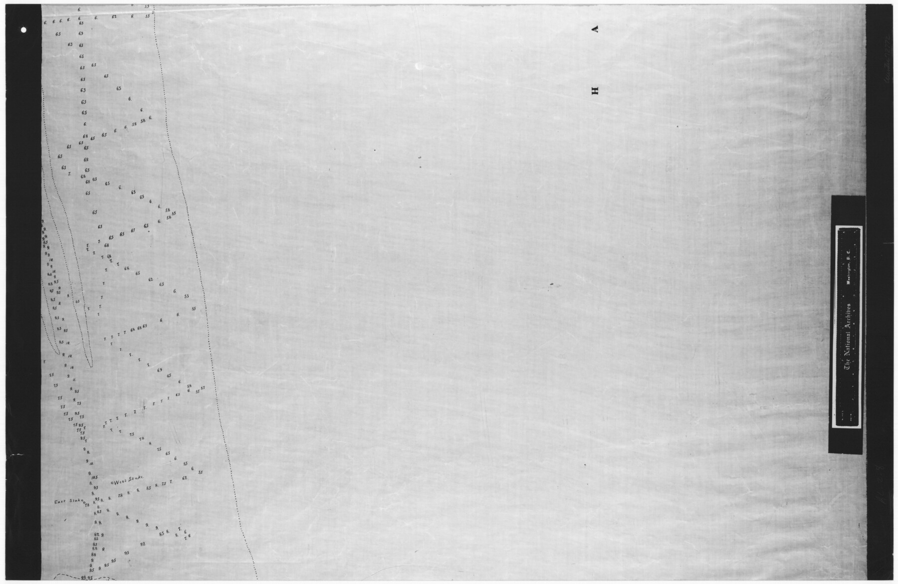
No. 3 Chart of Channel connecting Corpus Christi Bay with Aransas Bay, Texas
RL-2-8
-
Map/Doc
72772
-
Collection
General Map Collection
-
Object Dates
1878/9/17 (Creation Date)
-
People and Organizations
Corps of Engineers (Author)
W.H. Hoffman (Surveyor/Engineer)
H.S. Douglas (Surveyor/Engineer)
H.C. Collins (Surveyor/Engineer)
-
Counties
Nueces
-
Subjects
Nautical Charts
-
Height x Width
18.2 x 28.0 inches
46.2 x 71.1 cm
-
Comments
B/W photostat copy from National Archives in multiple pieces.
Part of: General Map Collection

Brazoria County Rolled Sketch 25B

Print $261.00
- Digital $50.00
Brazoria County Rolled Sketch 25B
Size 28.0 x 15.8 inches
Map/Doc 42752
Flight Mission No. BQR-9K, Frame 54, Brazoria County

Print $20.00
- Digital $50.00
Flight Mission No. BQR-9K, Frame 54, Brazoria County
1952
Size 18.5 x 22.3 inches
Map/Doc 84058

Railroad Track Map, H&TCRRCo., Falls County, Texas

Print $4.00
- Digital $50.00
Railroad Track Map, H&TCRRCo., Falls County, Texas
1918
Size 11.7 x 18.3 inches
Map/Doc 62853
Treaty to Resolve Pending Boundary Differences and Maintain the Rio Grande and Colorado River as the International Boundary Between the United States of American and Mexico

Print $4.00
- Digital $50.00
Treaty to Resolve Pending Boundary Differences and Maintain the Rio Grande and Colorado River as the International Boundary Between the United States of American and Mexico
1970
Size 12.2 x 19.0 inches
Map/Doc 83100

Bee County Sketch File 2a

Print $6.00
- Digital $50.00
Bee County Sketch File 2a
1847
Size 7.9 x 13.0 inches
Map/Doc 14356
Angelina County Sketch File 15g

Print $4.00
- Digital $50.00
Angelina County Sketch File 15g
1882
Size 10.9 x 8.4 inches
Map/Doc 12996
Flight Mission No. DIX-6P, Frame 194, Aransas County

Print $20.00
- Digital $50.00
Flight Mission No. DIX-6P, Frame 194, Aransas County
1956
Size 19.2 x 22.7 inches
Map/Doc 83856
Crockett County Rolled Sketch 64

Print $20.00
- Digital $50.00
Crockett County Rolled Sketch 64
1947
Size 19.8 x 41.2 inches
Map/Doc 5607
Bastrop County Working Sketch 15

Print $20.00
- Digital $50.00
Bastrop County Working Sketch 15
1993
Size 23.5 x 21.1 inches
Map/Doc 67315
You may also like
Harris County Boundary File 40

Print $8.00
- Digital $50.00
Harris County Boundary File 40
Size 14.2 x 8.7 inches
Map/Doc 54370
Northwest Part Pecos County

Print $20.00
- Digital $50.00
Northwest Part Pecos County
1975
Size 42.2 x 42.2 inches
Map/Doc 77395
Real County Working Sketch 78

Print $20.00
- Digital $50.00
Real County Working Sketch 78
1980
Size 33.9 x 35.5 inches
Map/Doc 71970
[Texas Gulf Coast from Rio Grande to Sabine Lake]
![72687, [Texas Gulf Coast from Rio Grande to Sabine Lake], General Map Collection](https://historictexasmaps.com/wmedia_w700/maps/72687.tif.jpg)
Print $20.00
- Digital $50.00
[Texas Gulf Coast from Rio Grande to Sabine Lake]
Size 28.1 x 18.3 inches
Map/Doc 72687
Grimes County Sketch File 3

Print $20.00
- Digital $50.00
Grimes County Sketch File 3
1871
Size 10.6 x 12.1 inches
Map/Doc 24626
Mason County Sketch File 4

Print $6.00
- Digital $50.00
Mason County Sketch File 4
1875
Size 12.9 x 8.0 inches
Map/Doc 30684
Leon County Working Sketch 30

Print $20.00
- Digital $50.00
Leon County Working Sketch 30
1972
Size 33.1 x 45.1 inches
Map/Doc 70429
Atascosa County Working Sketch 34

Print $20.00
- Digital $50.00
Atascosa County Working Sketch 34
1958
Size 13.3 x 25.5 inches
Map/Doc 67230
Map of Collin County

Print $20.00
- Digital $50.00
Map of Collin County
1850
Size 18.1 x 22.5 inches
Map/Doc 4519
General Highway Map, Jones County, Texas

Print $20.00
General Highway Map, Jones County, Texas
1961
Size 18.2 x 24.5 inches
Map/Doc 79546
Stephens County Working Sketch 22

Print $40.00
- Digital $50.00
Stephens County Working Sketch 22
1975
Size 32.9 x 49.0 inches
Map/Doc 63965
Matagorda County Working Sketch 8

Print $20.00
- Digital $50.00
Matagorda County Working Sketch 8
1953
Size 22.3 x 29.0 inches
Map/Doc 70866