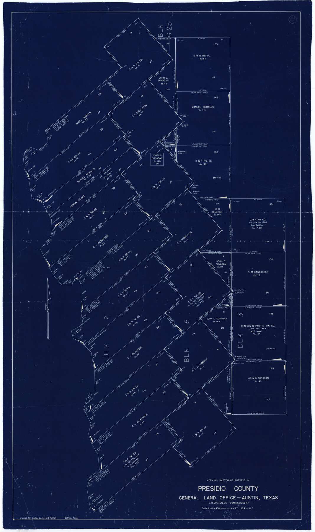
Presidio County Working Sketch 52
-
Map/Doc
71729
-
Collection
General Map Collection
-
Object Dates
5/27/1954 (Creation Date)
-
People and Organizations
Herman Forbes (Draftsman)
-
Counties
Presidio
-
Subjects
Surveying Working Sketch
-
Height x Width
46.5 x 27.6 inches
118.1 x 70.1 cm
-
Scale
1" = 400 varas
Part of: General Map Collection
Terry County Sketch File 14

Print $20.00
- Digital $50.00
Terry County Sketch File 14
Size 11.1 x 42.4 inches
Map/Doc 10398
Reeves County Sketch File 11

Print $20.00
- Digital $50.00
Reeves County Sketch File 11
1891
Size 20.1 x 17.9 inches
Map/Doc 12245
Map of Cherokee County

Print $20.00
- Digital $50.00
Map of Cherokee County
1848
Size 27.1 x 20.6 inches
Map/Doc 3390
Map of Fort Worth

Print $40.00
- Digital $50.00
Map of Fort Worth
1902
Size 61.3 x 34.8 inches
Map/Doc 93274
Copy of Surveyor's Field Book, Morris Browning - In Blocks 7, 5 & 4, I&GNRRCo., Hutchinson and Carson Counties, Texas

Print $3.00
- Digital $50.00
Copy of Surveyor's Field Book, Morris Browning - In Blocks 7, 5 & 4, I&GNRRCo., Hutchinson and Carson Counties, Texas
1888
Size 12.7 x 9.7 inches
Map/Doc 62258
Reeves County Working Sketch Graphic Index

Print $20.00
- Digital $50.00
Reeves County Working Sketch Graphic Index
1945
Size 47.3 x 38.1 inches
Map/Doc 76682
Flight Mission No. DQN-1K, Frame 44, Calhoun County

Print $20.00
- Digital $50.00
Flight Mission No. DQN-1K, Frame 44, Calhoun County
1953
Size 18.6 x 22.3 inches
Map/Doc 84144
Collin County Working Sketch 2

Print $20.00
- Digital $50.00
Collin County Working Sketch 2
1926
Size 15.2 x 17.7 inches
Map/Doc 68096
Flight Mission No. BRA-17M, Frame 17, Jefferson County

Print $20.00
- Digital $50.00
Flight Mission No. BRA-17M, Frame 17, Jefferson County
1953
Size 18.5 x 22.3 inches
Map/Doc 85798
Flight Mission No. CUG-1P, Frame 44, Kleberg County

Print $20.00
- Digital $50.00
Flight Mission No. CUG-1P, Frame 44, Kleberg County
1956
Size 18.7 x 22.3 inches
Map/Doc 86122
Duval County Rolled Sketch 29

Print $20.00
- Digital $50.00
Duval County Rolled Sketch 29
1947
Size 16.2 x 25.8 inches
Map/Doc 5746
Gillespie County Working Sketch 4

Print $20.00
- Digital $50.00
Gillespie County Working Sketch 4
1969
Size 32.5 x 35.3 inches
Map/Doc 63167
You may also like
Flight Mission No. BQR-7K, Frame 25, Brazoria County

Print $20.00
- Digital $50.00
Flight Mission No. BQR-7K, Frame 25, Brazoria County
1952
Size 18.8 x 22.3 inches
Map/Doc 84023
Upton County Rolled Sketch 18

Print $40.00
- Digital $50.00
Upton County Rolled Sketch 18
1933
Size 38.3 x 55.5 inches
Map/Doc 10039
Culberson County Sketch File 30

Print $22.00
- Digital $50.00
Culberson County Sketch File 30
1950
Size 14.2 x 8.7 inches
Map/Doc 20282
General Highway Map, Refugio County, Texas

Print $20.00
General Highway Map, Refugio County, Texas
1940
Size 18.3 x 25.0 inches
Map/Doc 79228
Sutton County Rolled Sketch 54

Print $20.00
- Digital $50.00
Sutton County Rolled Sketch 54
Size 32.4 x 27.7 inches
Map/Doc 7894
Eastland County Working Sketch 66

Print $20.00
- Digital $50.00
Eastland County Working Sketch 66
2014
Size 27.2 x 20.1 inches
Map/Doc 93708
Ector County Working Sketch 10

Print $20.00
- Digital $50.00
Ector County Working Sketch 10
1953
Size 25.4 x 39.0 inches
Map/Doc 68853
State Highway System of Texas Showing Condition of Improvement

Print $5.00
- Digital $50.00
State Highway System of Texas Showing Condition of Improvement
1929
Size 28.5 x 30.9 inches
Map/Doc 93720
Mills County Working Sketch 13

Print $20.00
- Digital $50.00
Mills County Working Sketch 13
1943
Size 27.4 x 28.7 inches
Map/Doc 71043
Real County Rolled Sketch 18

Print $20.00
- Digital $50.00
Real County Rolled Sketch 18
Size 18.5 x 24.3 inches
Map/Doc 7462
King County Rolled Sketch 8

Print $20.00
- Digital $50.00
King County Rolled Sketch 8
1902
Size 34.8 x 29.8 inches
Map/Doc 6531
Victoria County Sketch File 7

Print $6.00
- Digital $50.00
Victoria County Sketch File 7
1908
Size 11.4 x 17.4 inches
Map/Doc 12596