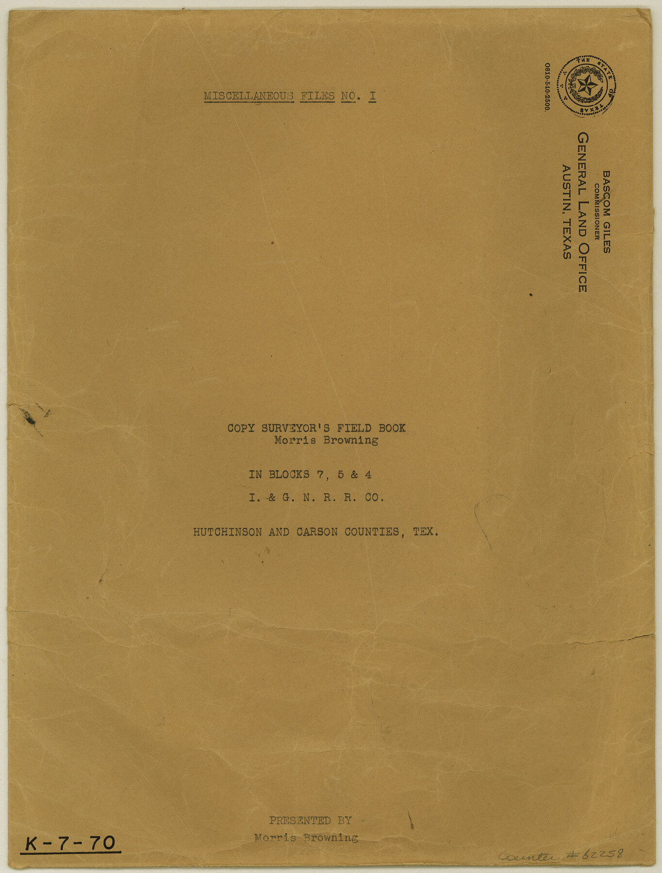
Copy of Surveyor's Field Book, Morris Browning - In Blocks 7, 5 & 4, I&GNRRCo., Hutchinson and Carson Counties, Texas
K-7-70
-
Map/Doc
62258
-
Collection
General Map Collection
-
Object Dates
1888/10/22 (Creation Date)
-
People and Organizations
Morris Browning (Surveyor/Engineer)
-
Counties
Hutchinson Carson
-
Height x Width
12.7 x 9.7 inches
32.3 x 24.6 cm
-
Comments
Copy of Surveyor's field book presented to the General Land Office by Morris Browning on February 3, 1941.
Surveyed from September 14, 1888 to October 22, 1888.
Part of: General Map Collection
Intracoastal Waterway in Texas - Corpus Christi to Point Isabel including Arroyo Colorado to Mo. Pac. R.R. Bridge Near Harlingen

Print $20.00
- Digital $50.00
Intracoastal Waterway in Texas - Corpus Christi to Point Isabel including Arroyo Colorado to Mo. Pac. R.R. Bridge Near Harlingen
1933
Size 40.6 x 28.0 inches
Map/Doc 61877
Gaines County Rolled Sketch 21

Print $20.00
- Digital $50.00
Gaines County Rolled Sketch 21
Size 29.0 x 24.9 inches
Map/Doc 5937
Oldham County Rolled Sketch 2A

Print $40.00
- Digital $50.00
Oldham County Rolled Sketch 2A
1886
Size 35.9 x 55.6 inches
Map/Doc 9640
Travis County Sketch File 73

Print $8.00
- Digital $50.00
Travis County Sketch File 73
1848
Size 12.8 x 8.3 inches
Map/Doc 38464
Flight Mission No. DCL-6C, Frame 23, Kenedy County

Print $20.00
- Digital $50.00
Flight Mission No. DCL-6C, Frame 23, Kenedy County
1943
Size 18.7 x 22.3 inches
Map/Doc 85880
Oldham County Working Sketch 5

Print $40.00
- Digital $50.00
Oldham County Working Sketch 5
1951
Size 43.0 x 59.3 inches
Map/Doc 71327
Morris County Rolled Sketch 2A

Print $20.00
- Digital $50.00
Morris County Rolled Sketch 2A
Size 35.2 x 27.7 inches
Map/Doc 10270
San Patricio County Rolled Sketch 25

Print $40.00
- Digital $50.00
San Patricio County Rolled Sketch 25
1925
Size 37.2 x 54.1 inches
Map/Doc 9887
Loving County Sketch File 9

Print $36.00
- Digital $50.00
Loving County Sketch File 9
2015
Size 14.0 x 8.5 inches
Map/Doc 93794
Plan De La Nouvelle-Orleans Sur les Manuscrits du Dépôt des Cartes de la Marine

Print $20.00
- Digital $50.00
Plan De La Nouvelle-Orleans Sur les Manuscrits du Dépôt des Cartes de la Marine
1744
Size 9.1 x 13.6 inches
Map/Doc 97354
Marion County Rolled Sketch F

Print $40.00
- Digital $50.00
Marion County Rolled Sketch F
1937
Size 43.5 x 67.1 inches
Map/Doc 9487
Flight Mission No. CUG-1P, Frame 46, Kleberg County

Print $20.00
- Digital $50.00
Flight Mission No. CUG-1P, Frame 46, Kleberg County
1956
Size 18.6 x 22.2 inches
Map/Doc 86124
You may also like
Hudspeth County Working Sketch 1

Print $40.00
- Digital $50.00
Hudspeth County Working Sketch 1
1911
Size 26.5 x 53.3 inches
Map/Doc 69023
Rockwall County, Texas

Print $20.00
- Digital $50.00
Rockwall County, Texas
1880
Size 22.7 x 19.3 inches
Map/Doc 750
Galveston Island

Print $20.00
- Digital $50.00
Galveston Island
1837
Size 24.1 x 37.2 inches
Map/Doc 2009
Delta County Sketch File 5

Print $2.00
- Digital $50.00
Delta County Sketch File 5
1886
Size 14.6 x 8.6 inches
Map/Doc 20676
Ward County Rolled Sketch 15

Print $20.00
- Digital $50.00
Ward County Rolled Sketch 15
1941
Size 26.9 x 39.2 inches
Map/Doc 8158
Ector County Working Sketch 30

Print $40.00
- Digital $50.00
Ector County Working Sketch 30
1971
Size 43.2 x 64.1 inches
Map/Doc 68873
Baylor County Sketch File 12E

Print $11.00
- Digital $50.00
Baylor County Sketch File 12E
1900
Size 14.3 x 8.8 inches
Map/Doc 14159
Guadalupe County Sketch File 15a

Print $9.00
- Digital $50.00
Guadalupe County Sketch File 15a
Size 10.3 x 8.2 inches
Map/Doc 24687
Waller County Working Sketch 3

Print $20.00
- Digital $50.00
Waller County Working Sketch 3
1959
Size 35.4 x 28.8 inches
Map/Doc 72302
Flight Mission No. BRE-1P, Frame 118, Nueces County

Print $20.00
- Digital $50.00
Flight Mission No. BRE-1P, Frame 118, Nueces County
1956
Size 17.8 x 21.2 inches
Map/Doc 86684
Reeves County Working Sketch Graphic Index

Print $20.00
- Digital $50.00
Reeves County Working Sketch Graphic Index
1945
Size 47.3 x 38.1 inches
Map/Doc 76682
El Paso County Rolled Sketch WL

Print $20.00
- Digital $50.00
El Paso County Rolled Sketch WL
1922
Size 26.9 x 19.1 inches
Map/Doc 5860