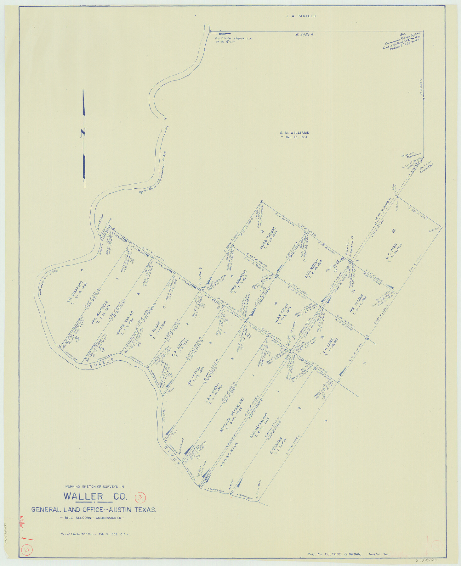
Waller County Working Sketch 3
-
Map/Doc
72302
-
Collection
General Map Collection
-
Object Dates
2/5/1959 (Creation Date)
-
People and Organizations
Otto G. Kurio (Draftsman)
-
Counties
Waller
-
Subjects
Surveying Working Sketch
-
Height x Width
35.4 x 28.8 inches
89.9 x 73.2 cm
-
Scale
1" = 300 varas
Part of: General Map Collection
Crosby County Working Sketch 18

Print $20.00
- Digital $50.00
Crosby County Working Sketch 18
1982
Size 22.7 x 31.0 inches
Map/Doc 68452
Randall County Rolled Sketch 5

Print $20.00
- Digital $50.00
Randall County Rolled Sketch 5
1945
Size 29.7 x 17.6 inches
Map/Doc 7425
Kerr County Sketch File 18

Print $20.00
- Digital $50.00
Kerr County Sketch File 18
1950
Size 16.9 x 20.3 inches
Map/Doc 11921

National Map Company's New Road Survey of the United States Showing Main Highways

Print $20.00
- Digital $50.00
National Map Company's New Road Survey of the United States Showing Main Highways
Size 44.3 x 38.2 inches
Map/Doc 4674
Wharton County Rolled Sketch 6

Print $20.00
- Digital $50.00
Wharton County Rolled Sketch 6
1901
Size 23.7 x 30.0 inches
Map/Doc 8230
Map of the County of Nueces

Print $20.00
- Digital $50.00
Map of the County of Nueces
1859
Size 39.3 x 39.6 inches
Map/Doc 78391
Marion County Sketch File 1b

Print $8.00
- Digital $50.00
Marion County Sketch File 1b
Size 12.4 x 7.7 inches
Map/Doc 30560
Matagorda County Working Sketch 19

Print $20.00
- Digital $50.00
Matagorda County Working Sketch 19
1961
Size 31.7 x 42.3 inches
Map/Doc 70877
Leon County Rolled Sketch 17

Print $20.00
- Digital $50.00
Leon County Rolled Sketch 17
1981
Size 25.2 x 33.4 inches
Map/Doc 6602
Flight Mission No. DQO-11K, Frame 24, Galveston County

Print $20.00
- Digital $50.00
Flight Mission No. DQO-11K, Frame 24, Galveston County
1952
Size 18.6 x 22.4 inches
Map/Doc 85221
Flight Mission No. DIX-8P, Frame 63, Aransas County

Print $20.00
- Digital $50.00
Flight Mission No. DIX-8P, Frame 63, Aransas County
1956
Size 18.7 x 22.5 inches
Map/Doc 83894
You may also like
Copy of Surveyor's Field Book, Morris Browning - In Blocks 7, 5 & 4, I&GNRRCo., Hutchinson and Carson Counties, Texas

Print $2.00
- Digital $50.00
Copy of Surveyor's Field Book, Morris Browning - In Blocks 7, 5 & 4, I&GNRRCo., Hutchinson and Carson Counties, Texas
1888
Size 7.0 x 8.9 inches
Map/Doc 62261
Presidio County Rolled Sketch 5

Print $20.00
- Digital $50.00
Presidio County Rolled Sketch 5
Size 23.1 x 22.2 inches
Map/Doc 7329
Flight Mission No. DAG-21K, Frame 97, Matagorda County

Print $20.00
- Digital $50.00
Flight Mission No. DAG-21K, Frame 97, Matagorda County
1952
Size 18.4 x 22.2 inches
Map/Doc 86426
Industrial - Commercial - Progressive Dallas

Industrial - Commercial - Progressive Dallas
1940
Size 19.1 x 23.7 inches
Map/Doc 96509
Shelby County Working Sketch 13

Print $40.00
- Digital $50.00
Shelby County Working Sketch 13
1946
Size 52.0 x 33.7 inches
Map/Doc 63866
Montague County Rolled Sketch 7

Print $20.00
- Digital $50.00
Montague County Rolled Sketch 7
1964
Size 17.8 x 22.9 inches
Map/Doc 6791
Crane County Working Sketch 19

Print $20.00
- Digital $50.00
Crane County Working Sketch 19
1958
Size 28.6 x 38.8 inches
Map/Doc 68296
A Survey of Lake Champlain, including Lake George, Crown Point and St. John

Print $20.00
- Digital $50.00
A Survey of Lake Champlain, including Lake George, Crown Point and St. John
1762
Size 29.0 x 20.9 inches
Map/Doc 97404
Burnet County Working Sketch 27

Print $20.00
- Digital $50.00
Burnet County Working Sketch 27
2025
Size 24.5 x 36.0 inches
Map/Doc 97419
Tarrant County Working Sketch 5

Print $20.00
- Digital $50.00
Tarrant County Working Sketch 5
1980
Size 27.7 x 27.3 inches
Map/Doc 62422
Current Miscellaneous File 87

Print $8.00
- Digital $50.00
Current Miscellaneous File 87
Size 11.3 x 8.6 inches
Map/Doc 74243
Crockett County Rolled Sketch 55

Print $40.00
- Digital $50.00
Crockett County Rolled Sketch 55
Size 42.3 x 95.8 inches
Map/Doc 8718